Sunrise River
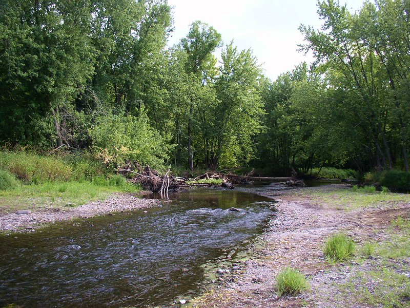
Sunrise River
- Boat Ramps
- 0
- Access Points
- 3
- Campsites
- 4
The Sunrise River is a scenic 39.1-mile tributary of the St. Croix River in east-central Minnesota. Originating in Chisago County, it flows generally southeast before joining the St. Croix River near the town of Sunrise. The river's watershed covers parts of Anoka, Chisago, Isanti, and Washington counties.
Paddlers can enjoy several distinct sections of the Sunrise River, ranging from flatwater to gentle Class I rapids. The upper reaches offer a quiet, wooded experience ideal for wildlife viewing. As the river widens downstream, it provides more open vistas and connects several lakes, including Martin Lake in Anoka County. The lower section from Kost Dam to the St. Croix confluence offers an 11.5-mile stretch popular with canoeists and kayakers.
The river's difficulty is generally suitable for beginners to intermediate paddlers, with mostly flatwater and occasional riffles. However, water levels can affect conditions, so checking reports is advisable. Late spring through early fall typically offers the best paddling, with summer providing warm weather and good wildlife viewing opportunities.
The Sunrise River corridor supports a diverse ecosystem. Paddlers may encounter beaver, deer, otters, various bird species including eagles and herons, and numerous turtles. The river is also known for its excellent fishing, particularly for smallmouth bass.
Key access points include locations in Chisago County for the upper sections, Martin Lake for the middle portion, and Kost Dam for the lower stretch. The nearby towns of North Branch, Stacy, and Sunrise provide services for paddlers.
Historically, the Sunrise River played a role in the logging industry, with its waters used to transport timber. Today, it serves as an important recreational resource and natural corridor in the developing areas east of the Twin Cities.
Safety considerations include being aware of deadfall in the upper sections and potential swifter currents after heavy rains. Paddlers should also be mindful of private property along the shores and follow Leave No Trace principles.
For those seeking a multi-day adventure, it's possible to combine a Sunrise River trip with paddling on the St. Croix River, creating an extended journey through the scenic landscapes of eastern Minnesota.
Water access, boat ramps & amenities
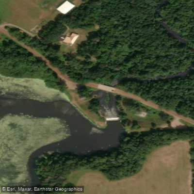
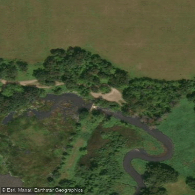
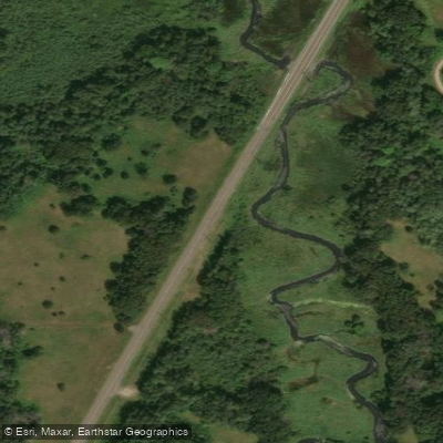
Learn how to get on Sunrise River. Uncover great paddling access points, boat ramps, and all the facilities you need for an unforgettable day on the water. Some locations shown may border or include private property. Always check property boundaries and applicable regulations before visiting. PaddleWays's Public & Private Land layer can help you plan your access with confidence.
Paddle smarter with real-time insights
Whether you're en route and conditions shift or you're looking for the best spot based on current flows, we enable you to make informed decisions on the fly.








Find Places to Paddle

Over 400,000 Places to Paddle
Every user gets free access to launch points, boat ramps, and public property parcels.


Water and weather conditions (10 day forecast)
See the best times to paddle Sunrise River and check the forecast before you go.
No forecast data available.
Paddling near Sunrise River

Mississippi River
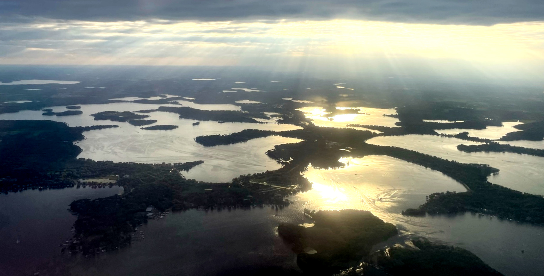
Lake Minnetonka
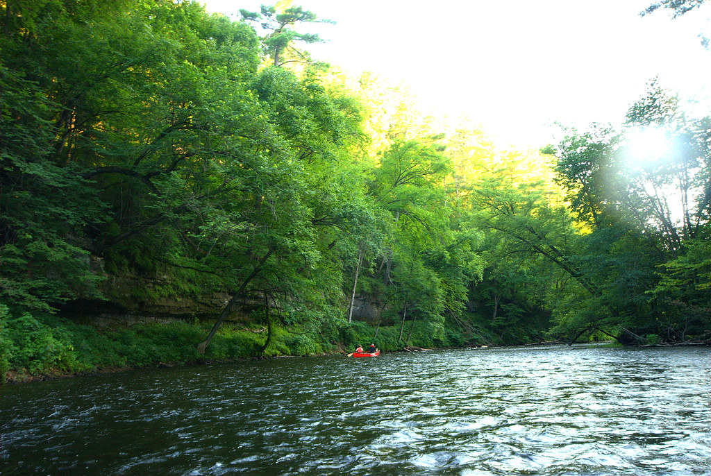
Apple River
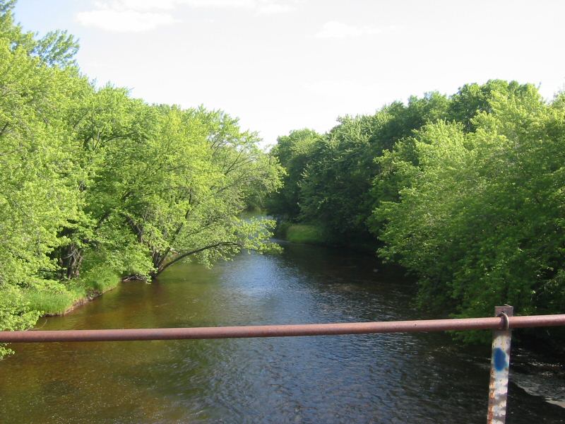
Rum River

Willow River
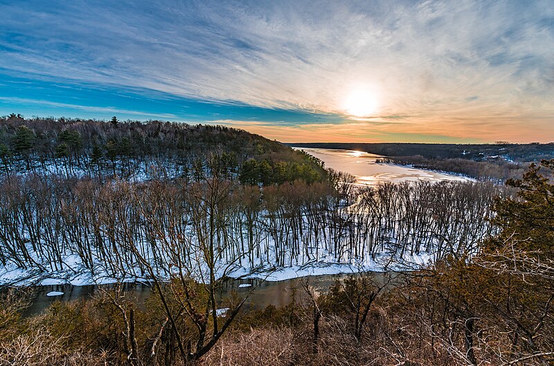
Kinnickinnic River
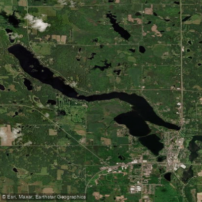
Beaver Dam Lake
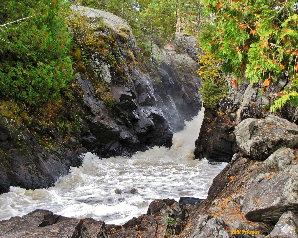
Vermillion River
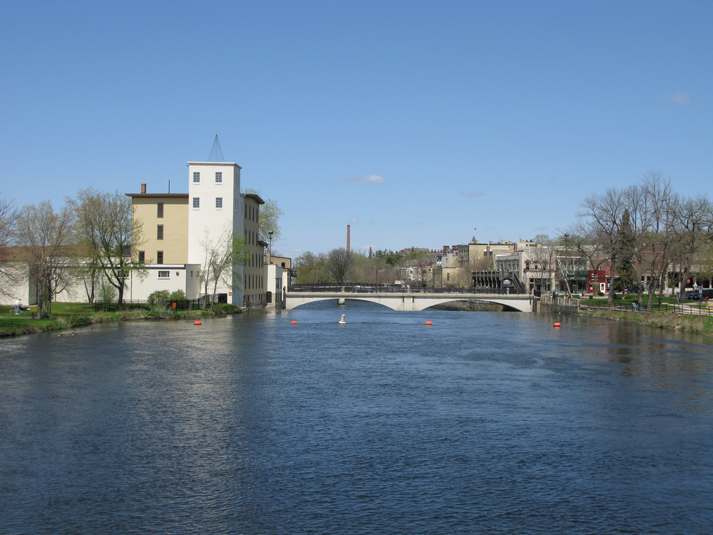
Cannon River
Explore Minnesota waters
Top paddling waters
Popular Cities
Loading popular cities...
Explore near Sunrise River
Access points
- Sunrise River, Kost Dam Park Public Water Access Site
- South Sunrise Pool (N) Public Water Access Site
- Sunrise River, E. Viking Blvd Public Water Access Site
- Sunrise River Bridge
- Sunrise River Bridge
- Upper Sunrise River Bridge
- Sunrise River Bridge
- Sunrise River Bridge
- Sunrise River Bridge
- Sunrise River Bridge
- Sunrise River Bridge
- N Br Sunrise River Bridge
- All 28 spots
Nearby waters
More in Minnesota

Smarter Paddling Starts in the App.
Paddleways gives you everything you need to plan smarter, paddle better, and own every trip from first launch to takeout.