Vermillion River
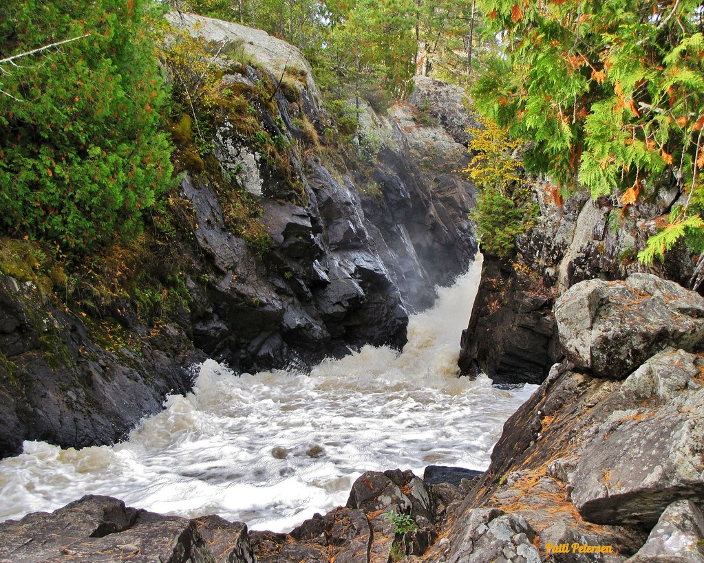
Vermillion River
- Boat Ramps
- 2
- Access Points
- 14
- Campsites
- 9
The Vermillion River originates in southeastern Scott County, Minnesota, flowing eastward through Dakota County for approximately 28 miles before reaching Hastings, where it drops 90 feet over Vermillion Falls. Below the falls, the river splits into two channels: one flowing northeast to join the Mississippi River near downtown Hastings, and another paralleling the Mississippi southward for roughly 20 miles through the Vermillion River Bottoms before joining the larger river near Red Wing in Goodhue County. This watershed drains 335 square miles, making it the largest in the Minneapolis-St. Paul metropolitan area.
The river supports 51.6 miles of designated trout streams, establishing it as the only world-class trout fishery within a major U.S. metropolitan area. Brown trout reproduce naturally in the system, with rainbow trout stocked periodically and recent efforts to reintroduce native brook trout.
Paddling opportunities exist primarily on the lower sections. The most accessible stretch runs from Highway 52 downstream to Hastings, where the river widens and deepens sufficiently for canoes and kayaks. A boat landing on Highway 54 south of Hastings provides access to the Vermillion River Bottoms, where paddlers can explore the braided-stream remnant system through floodplain forest. This section features silver maple, cottonwood, and green ash forests with shallow lakes and spring-fed marshes. The stretch from Vermillion Falls to the Mississippi outlet offers flatwater paddling through this unique 17-by-2.5-mile corridor. The upper reaches west of Highway 52 lack adequate depth for paddling during much of the season and prioritize trout habitat preservation, with deadfall intentionally left in place for fish cover. Rapids exist below the lower Vermillion Falls near Old Mill Park, creating a short but challenging whitewater run rated Class III-IV during high water in early spring.
The river corridor features significant historical landmarks including the Ramsey Mill ruins (1857), the historic Hastings and Dakota Railroad trestle bridge (now pedestrian), and LeDuc Mansion. The falls powered Minnesota's first flour mill in 1853.
The watershed contains the Hastings Scientific and Natural Area, Vermillion Highlands Wildlife Management Area, and several aquatic management areas managed by the Minnesota DNR. Access points include Vermillion Falls Park, multiple locations along Vermillion River Linear Park, and the Highway 54 boat landing. The Vermillion River Greenway provides trail access through Hastings connecting to the Mississippi River Regional Trail system.
Water quality monitoring occurs year-round at eight stations. The river experiences seasonal flooding, most notably the 1965 event that prompted levee construction. Summer paddling coincides with warm-water conditions below the falls, while spring offers higher flows but colder temperatures.
The Vermillion River Bottoms serves as critical migratory habitat for 153 bird species, including rare cerulean warblers and red-shouldered hawks.
Water access, boat ramps & amenities
Learn how to get on Vermillion River. Uncover great paddling access points, boat ramps, and all the facilities you need for an unforgettable day on the water. Some locations shown may border or include private property. Always check property boundaries and applicable regulations before visiting. PaddleWays's Public & Private Land layer can help you plan your access with confidence.
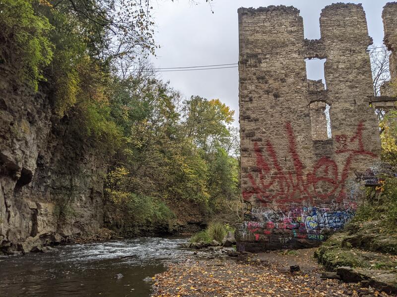
Take Out
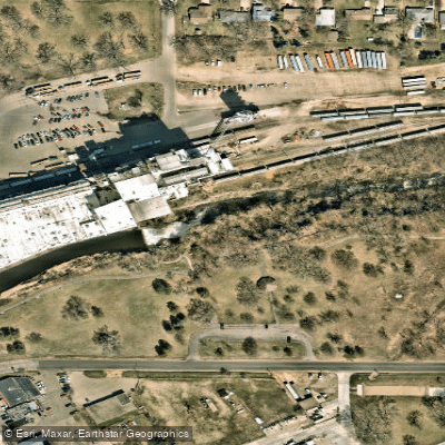
Put in
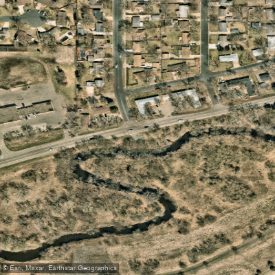
Vermillion River Access
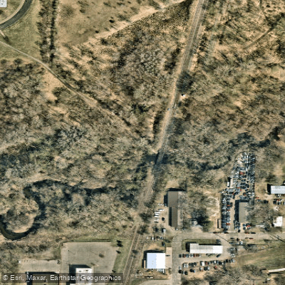
Rambling River Park Access
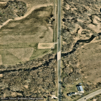
Empire Park Access
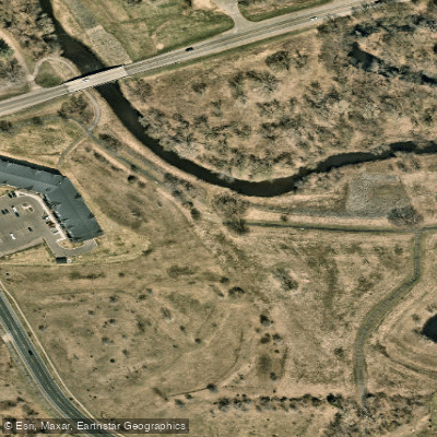
Vermillion River Linear Park Access
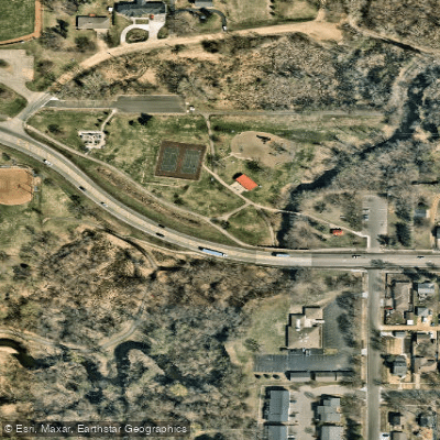
Rambling River Park Access
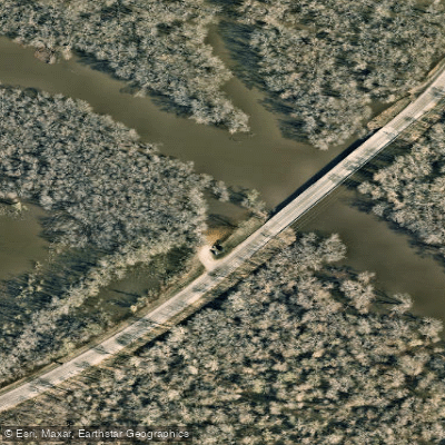
County Road 48 Access
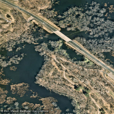
Hastings Access
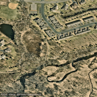
Sachs Park Access
Paddle smarter with real-time insights
Whether you're en route and conditions shift or you're looking for the best spot based on current flows, we enable you to make informed decisions on the fly.








Find Places to Paddle

Over 400,000 Places to Paddle
Every user gets free access to launch points, boat ramps, and public property parcels.


Water and weather conditions (10 day forecast)
See the best times to paddle Vermillion River and check the forecast before you go.
VERMILLION RIVER NEAR EMPIRE, MN
Paddling near Vermillion River

Mississippi River
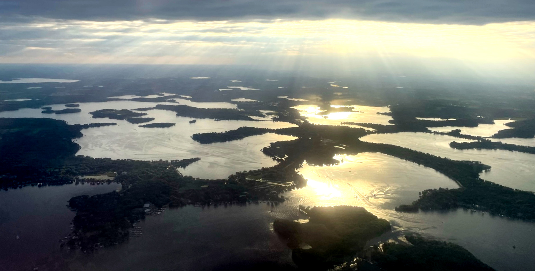
Lake Minnetonka
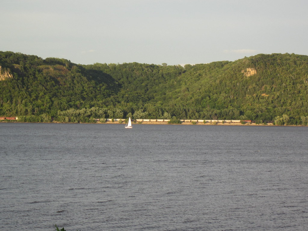
Lake Pepin
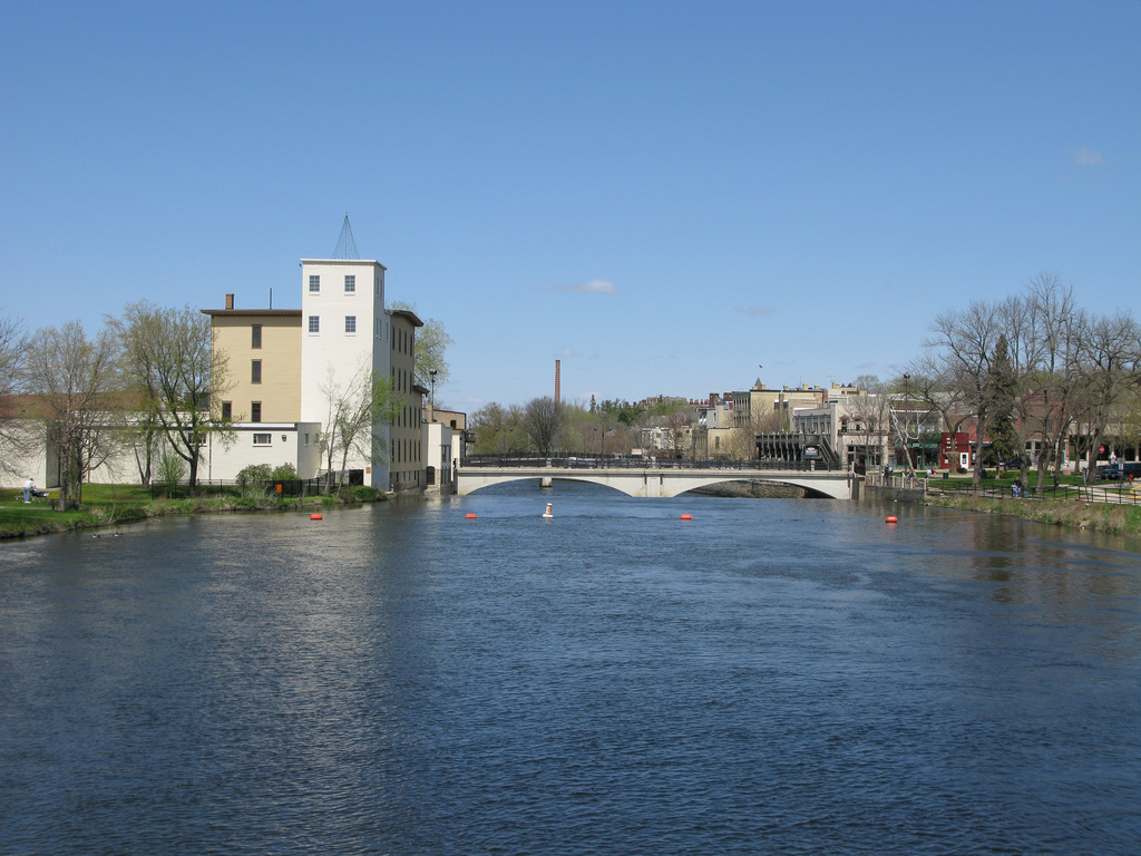
Cannon River
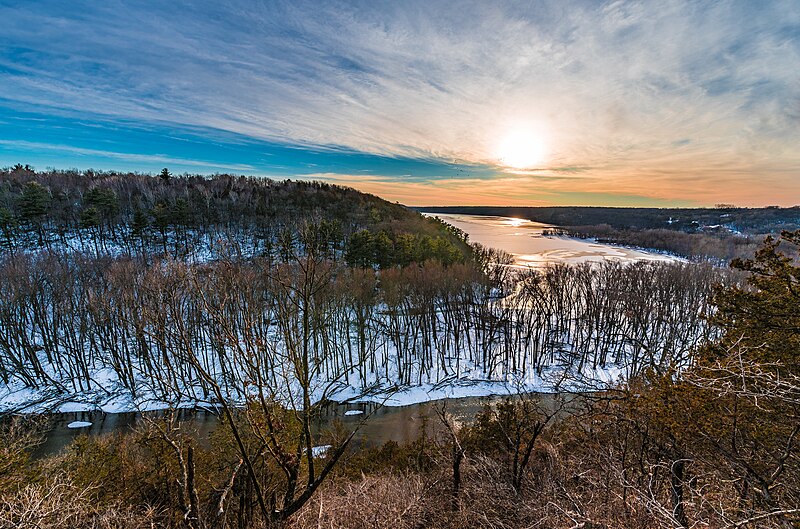
Kinnickinnic River

Willow River
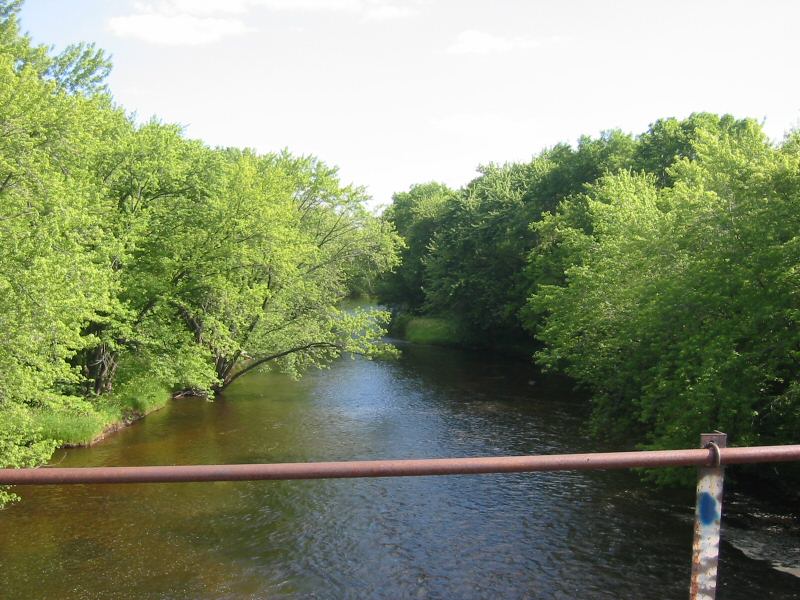
Rum River
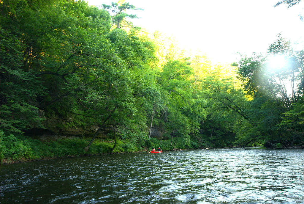
Apple River
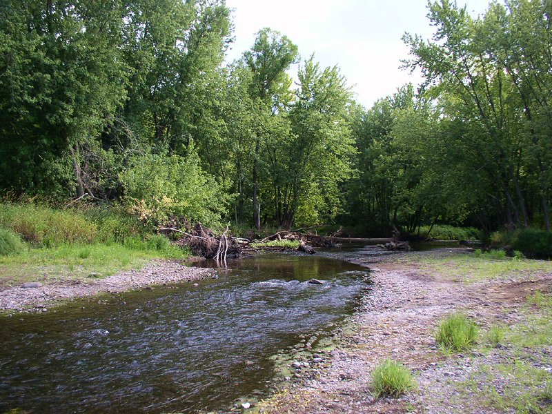
Sunrise River
Explore Minnesota waters
Top paddling waters
Popular Cities
Loading popular cities...
Explore near Vermillion River
Access points
- Lower Vermillion River Public Water Access Site
- Upper Vermillion River Public Water Access Site
- Take Out
- Put in
- Vermillion River Access
- Rambling River Park Access
- Empire Park Access
- Vermillion River Linear Park Access
- Rambling River Park Access
- County Road 48 Access
- Hastings Access
- Sachs Park Access
- All 58 spots
Nearby waters
More in Minnesota

Smarter Paddling Starts in the App.
Paddleways gives you everything you need to plan smarter, paddle better, and own every trip from first launch to takeout.