Kinnickinnic River
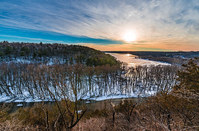
Kinnickinnic River
- Boat Ramps
- 0
- Access Points
- 10
- Campsites
- 3
The Kinnickinnic River originates from springs north of Interstate 94 between Hammond and Roberts in St. Croix County, Wisconsin, flowing approximately 22 miles westward through Pierce County before emptying into the St. Croix River near the town of River Falls. This cold-water trout stream maintains remarkably clear water year-round, fed by numerous spring creeks including Parker Creek, Kelly Creek, and Rocky Run Creek along its course. The river descends through a dramatic limestone gorge downstream from River Falls, featuring towering sandstone bluffs that rise 200 feet above the water, weeping seeps, and moss-covered rock formations. Two dams currently impound sections within River Falls city limits, though removal efforts are underway to restore the historic Junction Falls that gave the city its name. Below the second dam at Glen Park, the river transforms into a swift, technical waterway with continuous Class I-II rapids extending approximately 8 miles to County Road F.
Paddlers typically launch from Glen Park in River Falls, where a staircase and path descend roughly 900 feet to the water below the dam. The most popular section runs 7.5 miles to the County Road F bridge landing within Kinnickinnic State Park, requiring intermediate skills due to shallow rocky rapids, tight turns, and occasional strainers. Water levels between 125-200 cubic feet per second provide optimal conditions, though flows below 110 cfs result in frequent scraping. The final 2.8 miles from County Road F to the St. Croix confluence slow considerably, passing through the park's gorge before reaching a sandy delta beach—though paddlers must portage boats 1,300 feet uphill to the parking area.
Spring through early fall offers the best paddling, with May and June providing higher flows from snowmelt and rainfall. Summer months see heavy recreational use, particularly on weekends.
The river supports wild brown and brook trout populations, attracting fly fishermen year-round. Bald eagles, wood ducks, pileated woodpeckers, and various warblers inhabit the forested corridor, while the clear water reveals gravel spawning beds and aquatic vegetation.
Kinni Creek Lodge and Outfitters in River Falls provides shuttle services, rentals, and guided trips.
The river holds Class I trout stream designation, requiring Wisconsin fishing licenses and trout stamps. Historical significance includes its role in powering River Falls' early mills and its Algonquian name meaning "mixture." The National Park Service manages the lower confluence area as part of the St. Croix National Scenic Riverway. Paddlers should respect private property along most of the corridor and prepare for cold spring-fed water temperatures even during summer months.
Water access, boat ramps & amenities
Learn how to get on Kinnickinnic River. Uncover great paddling access points, boat ramps, and all the facilities you need for an unforgettable day on the water. Some locations shown may border or include private property. Always check property boundaries and applicable regulations before visiting. PaddleWays's Public & Private Land layer can help you plan your access with confidence.
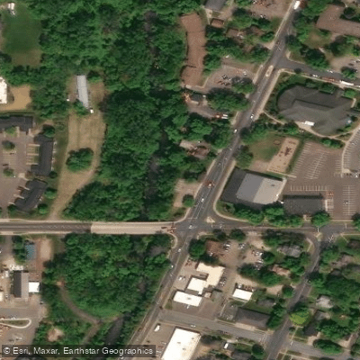
Kinnickinnic River Access
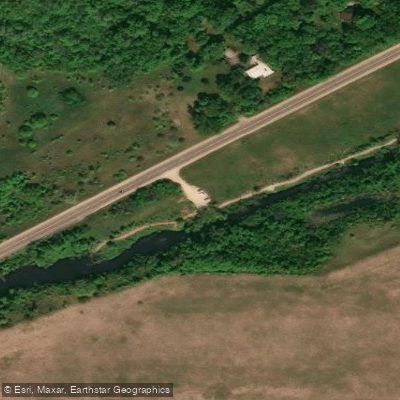
Kinnickinnic River Access
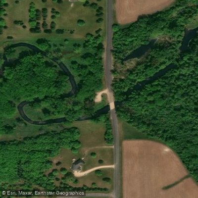
Kinnickinnic River Access
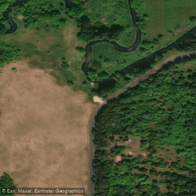
Kinnickinnic River Access
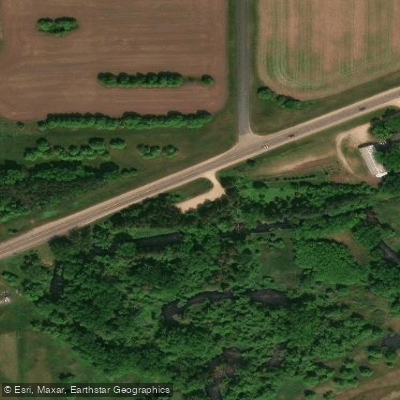
Kinnickinnic River Access
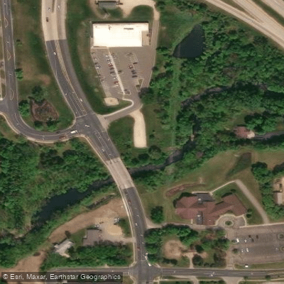
Kinnickinnic River Access
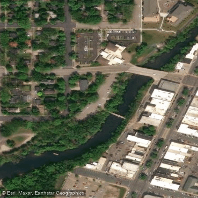
Kinnickinnic River Access
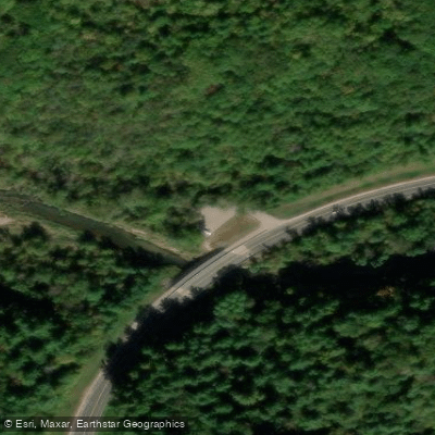
Kinnickinnic State Park Access
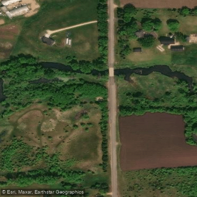
Kinnickinnic River Access
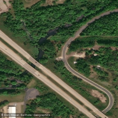
Kinnickinnic River Access
Paddle smarter with real-time insights
Whether you're en route and conditions shift or you're looking for the best spot based on current flows, we enable you to make informed decisions on the fly.








Find Places to Paddle

Over 400,000 Places to Paddle
Every user gets free access to launch points, boat ramps, and public property parcels.


Water and weather conditions (10 day forecast)
See the best times to paddle Kinnickinnic River and check the forecast before you go.
KINNICKINNIC RIVER NEAR RIVER FALLS, WI
Paddling near Kinnickinnic River

Mississippi River

Willow River
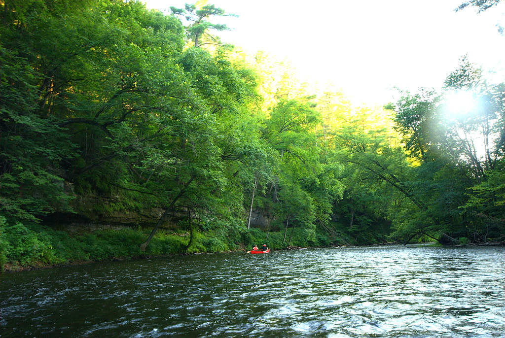
Apple River
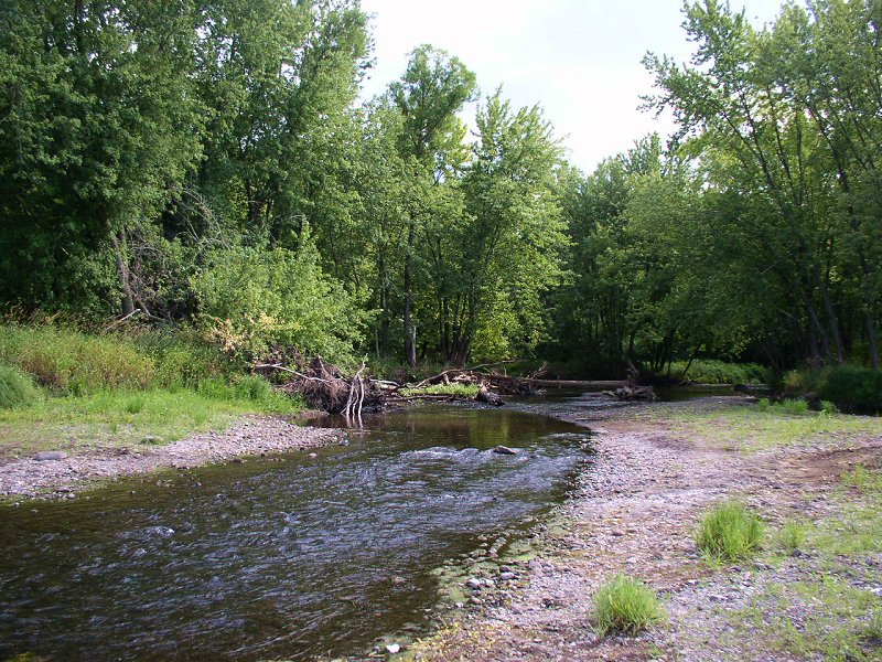
Sunrise River
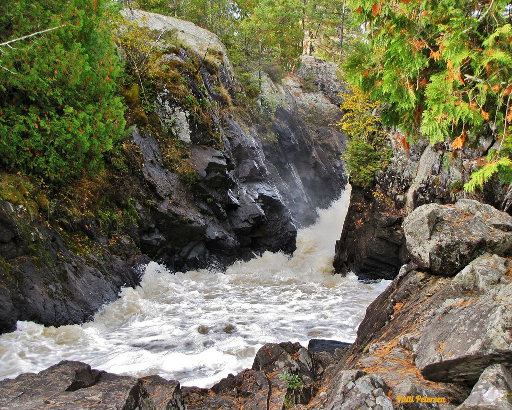
Vermillion River
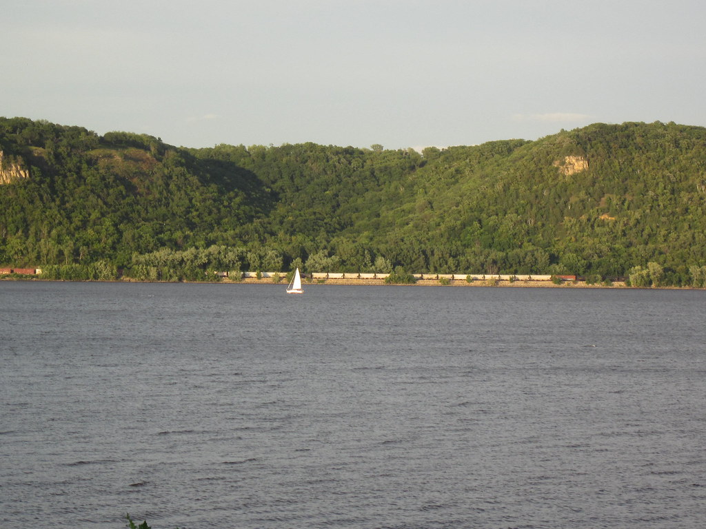
Lake Pepin
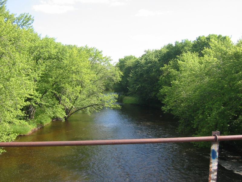
Rum River
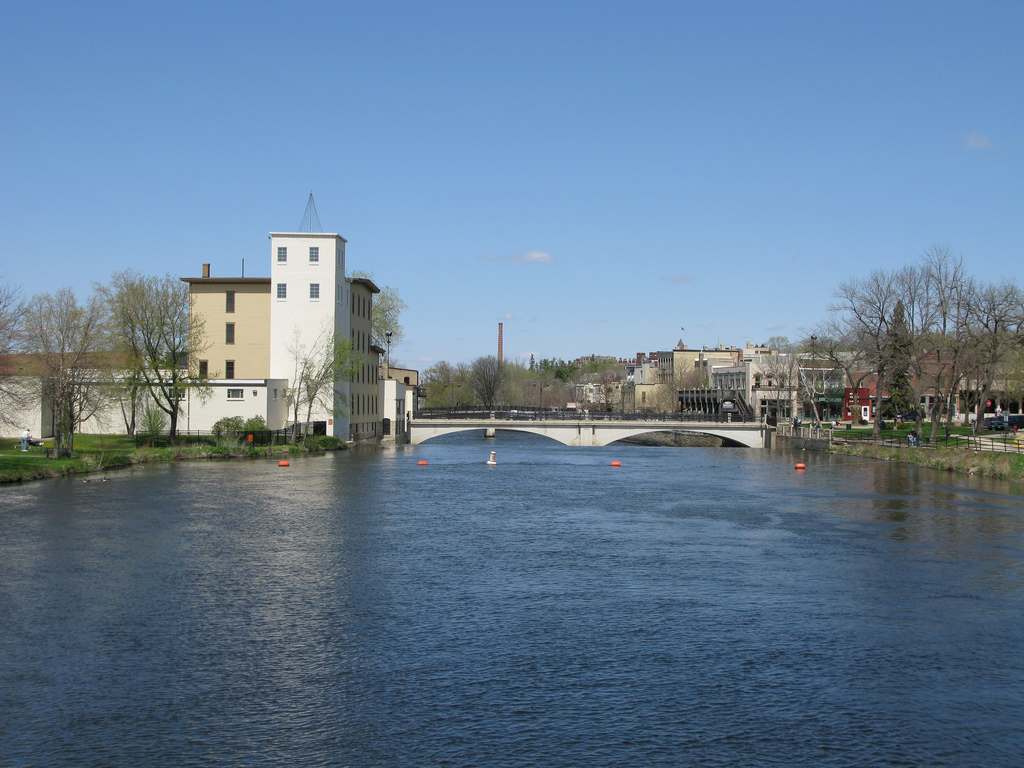
Cannon River
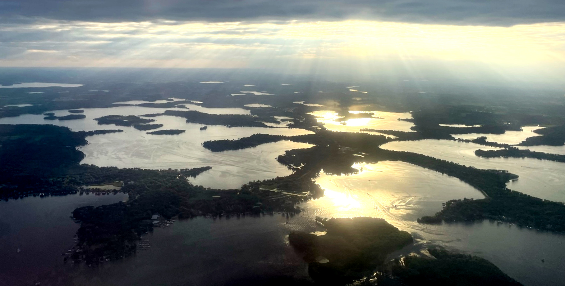
Lake Minnetonka
Explore Minnesota waters
Top paddling waters
Popular Cities
Loading popular cities...
Explore near Kinnickinnic River
Access points
- Kinnickinnic River Access
- Kinnickinnic River Access
- Kinnickinnic River Access
- Kinnickinnic River Access
- Kinnickinnic River Access
- Kinnickinnic River Access
- Kinnickinnic River Access
- Kinnickinnic State Park Access
- Kinnickinnic River Access
- Kinnickinnic River Access
- Trout Brook Bridge
- Interstate Park Campground
- All 14 spots
Nearby waters
More in Minnesota

Smarter Paddling Starts in the App.
Paddleways gives you everything you need to plan smarter, paddle better, and own every trip from first launch to takeout.