Big Fork River
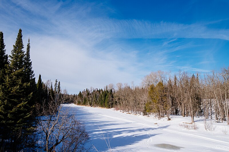
Big Fork River
- Boat Ramps
- 13
- Access Points
- 23
- Campsites
- 6
The Big Fork River is a scenic and adventurous waterway in northern Minnesota, originating at Dora Lake and flowing northward for 180 miles before joining the Rainy River near the Canadian border. This state-designated canoe route winds through largely undeveloped shorelines, offering paddlers a sense of wilderness and isolation. The river drops 243 feet over its course, creating a variety of paddling experiences. Most rapids are Class I-II, suitable for intermediate paddlers, with a few more challenging sections like Little American Falls and Big Falls requiring portages. The river's difficulty ranges from flatwater to Class IV rapids, with Big Falls presenting a spectacular 0.25-mile stretch of Class IV-V+ whitewater that should only be attempted by expert paddlers.
Paddling opportunities abound, with several popular sections: - Dora Lake to Highway 6 (upper section) - Highway 6 to Big Falls (middle section) - Big Falls to Rainy River (lower section) The best paddling times are typically late spring through early fall, with water levels highest in spring. Summer offers warmer temperatures but potentially lower water levels.
The Big Fork River passes through Pine Island, Koochiching, and Big Fork state forests, showcasing northern Minnesota's diverse ecosystems. Paddlers may encounter wildlife such as bald eagles, otters, and deer along the forested shorelines. Key landmarks include the town of Big Falls, Little American Falls, and the confluence with the Bear River. The river offers numerous no-cost, paddle-in campsites, making it ideal for multi-day trips.
Major access points include: - Dora Lake (near Northome) - Highway 1 wayside - Big Falls East Landing - Ivan Crawford Landing (near Littlefork)
The Big Fork River holds cultural significance for indigenous peoples and played a role in the region's logging history. Today, it's valued for its recreational opportunities and natural beauty.
Safety considerations include checking current water levels, being prepared for remote wilderness conditions, and respecting private property along the shoreline. Paddlers should be aware of Minnesota's aquatic invasive species regulations. For those seeking a longer adventure, the entire 180-mile route can be paddled in 7-10 days, offering a true wilderness experience through the heart of northern Minnesota.
Water access, boat ramps & amenities
Learn how to get on Big Fork River. Uncover great paddling access points, boat ramps, and all the facilities you need for an unforgettable day on the water. Some locations shown may border or include private property. Always check property boundaries and applicable regulations before visiting. PaddleWays's Public & Private Land layer can help you plan your access with confidence.
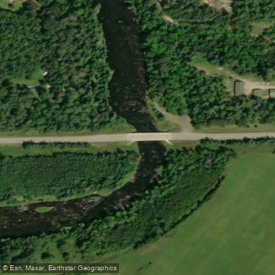
Big Fork River, State Hwy 1 Public Water Access Site
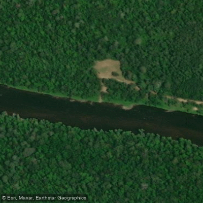
Ben Lynn Access
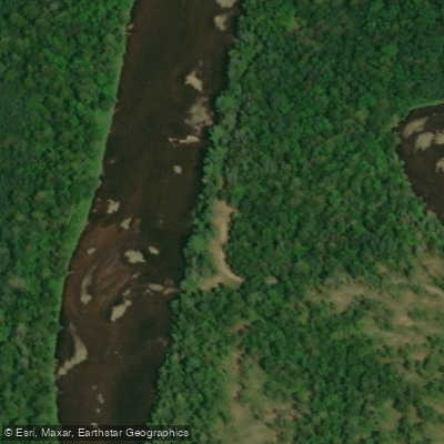
Big Fork River, Kueffners Public Water Access Site
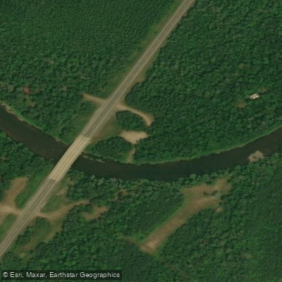
Big Fork River, Bill Counter Landing Public Water Access Site
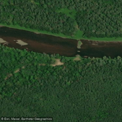
Big Fork River, Gowdy Public Water Access Site
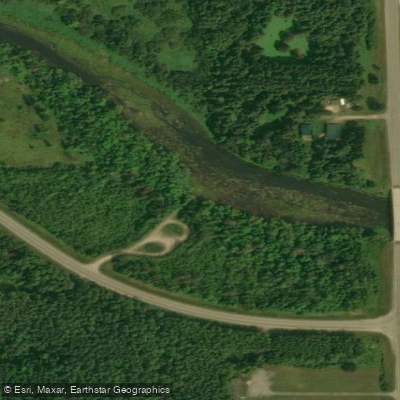
Big Fork River, Hwy 14 Public Water Access Site
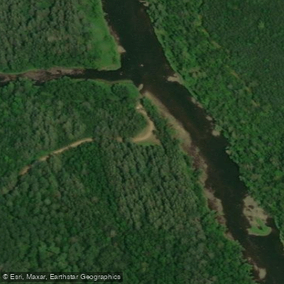
Sturgeon Access
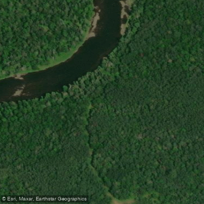
Big Fork Access
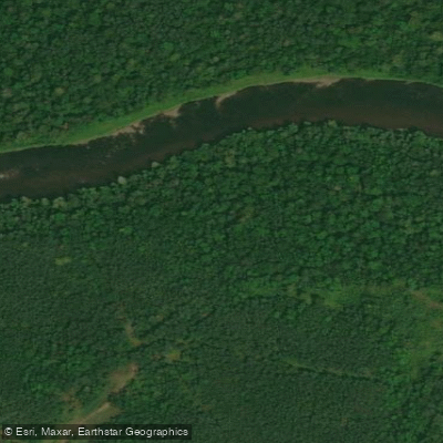
Grunwald Access Public Water Access Site
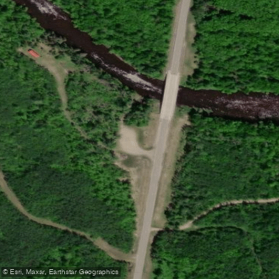
State Hwy 6 Bridge Access
Paddle smarter with real-time insights
Whether you're en route and conditions shift or you're looking for the best spot based on current flows, we enable you to make informed decisions on the fly.








Find Places to Paddle

Over 400,000 Places to Paddle
Every user gets free access to launch points, boat ramps, and public property parcels.


Water and weather conditions (10 day forecast)
See the best times to paddle Big Fork River and check the forecast before you go.
BIG FORK RIVER AT BIG FALLS, MN
Paddling near Big Fork River
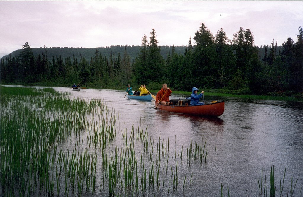
Rainy River
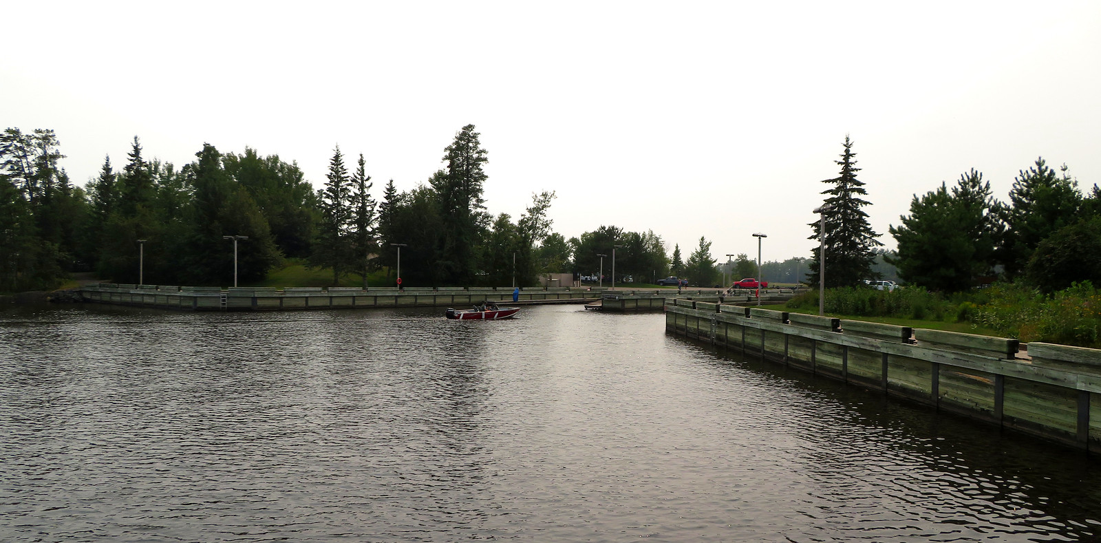
Rainy Lake
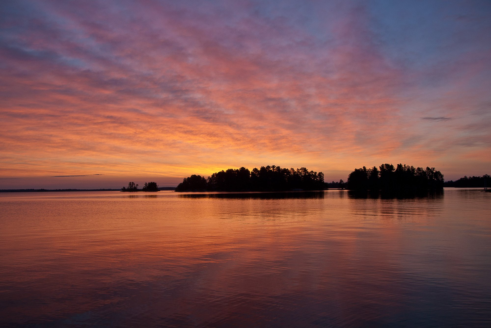
Rainy Lake
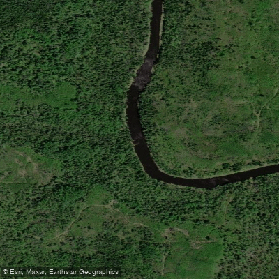
Little Fork River
Kabetogama Lake
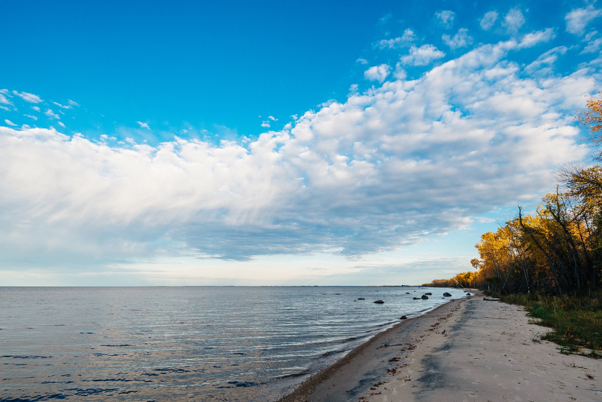
Lake of the Woods
Namakan Lake
Ash River
Nett Lake
Explore Minnesota waters
Top paddling waters
Popular Cities
Loading popular cities...
Explore near Big Fork River
Access points
Nearby waters
More in Minnesota

Smarter Paddling Starts in the App.
Paddleways gives you everything you need to plan smarter, paddle better, and own every trip from first launch to takeout.