Rainy River
Rainy River
- Boat Ramps
- 0
- Access Points
- 0
- Campsites
- 5
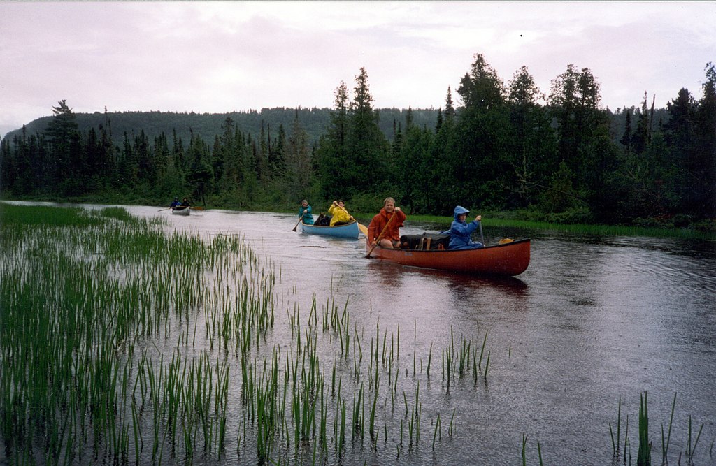
The Rainy River forms a significant portion of the border between Minnesota and Ontario, flowing westward for approximately 85 miles from Rainy Lake to Lake of the Woods. This historic waterway served as a vital transportation route for Indigenous peoples and later fur traders, earning it the nickname Voyageur's Highway. The river's main tributaries include the Little Fork River and Big Fork River, both joining from the Minnesota side. The Rainy River watershed covers about 14,500 square miles, draining parts of northern Minnesota and northwestern Ontario.
Paddling opportunities on the Rainy River range from flatwater lake paddling on Rainy Lake to more challenging upstream sections on the main river. The Rainy Lake and Rainy River Route offers a 255-mile journey from Voyageurs National Park to Lake of the Woods, allowing paddlers to retrace the historic voyageur route. This trip combines lake and river paddling, with potential upstream challenges on the river sections. The overall difficulty ranges from beginner-friendly flatwater on Rainy Lake to intermediate sections requiring more skill on the main river, especially when paddling upstream. Paddlers should be prepared for potential large waves on windy days, particularly on the lakes.
Late spring through early fall offers the best paddling conditions, with summer providing warmer temperatures but potentially more boat traffic. Fall colors can be spectacular but come with cooler temperatures. The river corridor supports diverse wildlife, including bald eagles, ospreys, moose, and various fish species. Walleye fishing is particularly popular.
Key landmarks include Voyageurs National Park, with its interconnected lakes and rich history, and the towns of International Falls, MN and Fort Frances, ON at the river's eastern end. The Rapid River, a major tributary, offers a scenic 33-mile canoe route with small riffles and Class I rapids.
Primary access points include the Voyageurs National Park Rainy Lake Visitor Center, various points along the Rainy River, and boat launches on Lake of the Woods. The towns of International Falls, Baudette, and Warroad provide services for paddlers.
Safety considerations include being prepared for sudden weather changes, large waves on open water, and increased boat traffic, especially near Lake of the Woods. Paddlers should carry appropriate safety gear and be aware of international border regulations.
Multi-day trip options abound, from exploring Voyageurs National Park's interconnected lakes to the full 255-mile Rainy Lake to Lake of the Woods route. Backcountry campsites in Voyageurs National Park and along the river provide overnight options for extended journeys.
The Rainy River system offers paddlers a unique blend of natural beauty, rich history, and diverse paddling experiences, making it a premier destination for canoeists and kayakers in the northern Minnesota region.
Water access, boat ramps & amenities
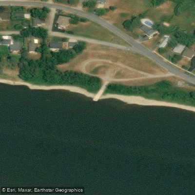
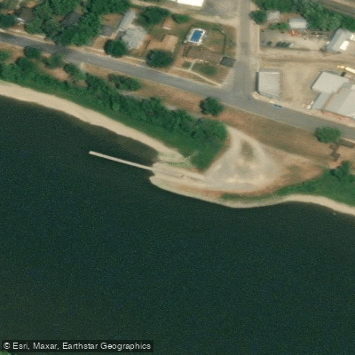
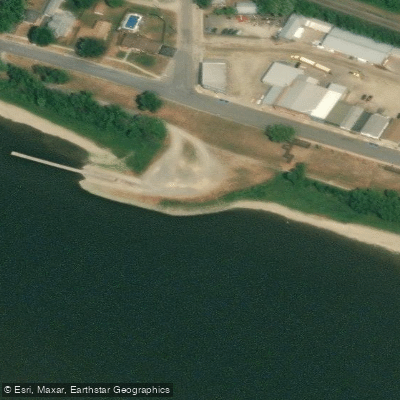
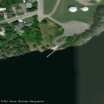
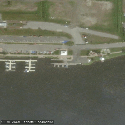
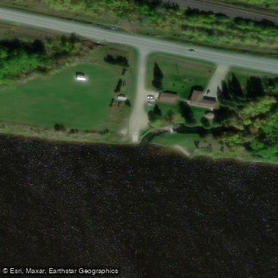
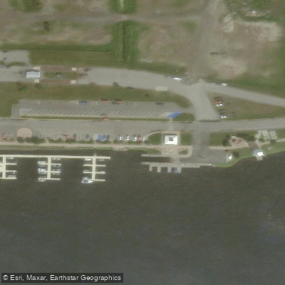
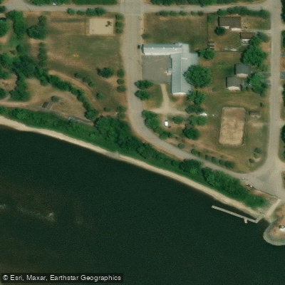
Learn how to get on Rainy River. Uncover great paddling access points, boat ramps, and all the facilities you need for an unforgettable day on the water. Some locations shown may border or include private property. Always check property boundaries and applicable regulations before visiting. PaddleWays's Public & Private Land layer can help you plan your access with confidence.
Paddle smarter with real-time insights
Whether you're en route and conditions shift or you're looking for the best spot based on current flows, we enable you to make informed decisions on the fly.








Find Places to Paddle

Over 400,000 Places to Paddle
Every user gets free access to launch points, boat ramps, and public property parcels.


Water and weather conditions (10 day forecast)
See the best times to paddle Rainy River and check the forecast before you go.
RAINY R AT BOAT LANDING BLW INTERNATIONAL FALLS,MN
All Flow Stations
Paddling near Rainy River
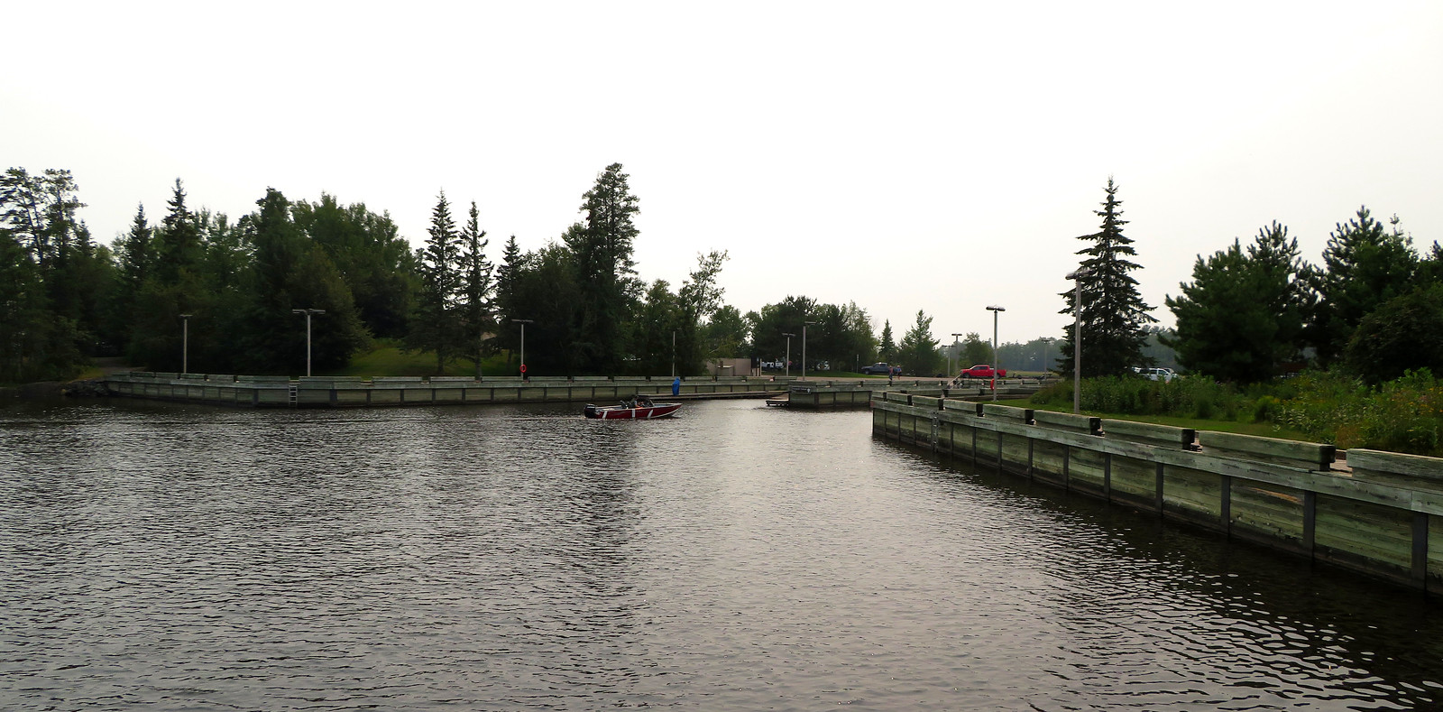
Rainy Lake
Big Fork River
Rainy Lake
Little Fork River
Kabetogama Lake
Lake of the Woods
Namakan Lake
Ash River
Nett Lake
Explore Minnesota waters
Top paddling waters
Popular Cities
Loading popular cities...
Explore near Rainy River
Access points
- Ontario Boat Ramp
- Ontario Boat Ramp
- Emo Municipal Landing Boat Ramp
- Fort Frances Boat Launch
- Sorting Gap Marina
- Pinewood Municipal Landing Boat Ramp
- Sorting Gap Marina Boat Ramp
- Barwick Municipal Landing Boat Ramp
- Rainy River Bridge
- Whitefish Creek Bridge
- Winter Road River Bridge
- Miller Creek Bridge
- All 42 spots
Nearby waters
More in Minnesota

Smarter Paddling Starts in the App.
Paddleways gives you everything you need to plan smarter, paddle better, and own every trip from first launch to takeout.