Little Fork River
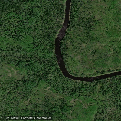
Little Fork River
- Boat Ramps
- 2
- Access Points
- 9
- Campsites
- 5
The Little Fork River is a scenic waterway in northern Minnesota, originating in St. Louis County and flowing northwest for approximately 160 miles before joining the Rainy River near the town of Littlefork. This undammed river meanders through a mix of forests, farmland, and wilderness areas, offering paddlers a diverse and largely undeveloped landscape to explore. The river provides excellent paddling opportunities for various skill levels, with sections ranging from calm flatwater to challenging Class II rapids.
The upper reaches, from Veterans Park to Highway 73, offer a popular 15.2-mile day trip suitable for intermediate paddlers. Further downstream, the river becomes more remote and wild, with occasional rapids interspersed with long stretches of peaceful paddling. A notable feature is Hannine Falls at river mile 123.8, a Class VI 15-foot waterfall that requires a portage for all paddlers. The lower sections of the river, particularly from river mile 90 to the Rainy River confluence, provide opportunities for multi-day wilderness trips through largely undisturbed natural areas.
The Little Fork is best paddled in late spring through early fall, with water levels typically highest in May and June following snowmelt. Summer offers warmer temperatures but may require more careful navigation in shallow areas. Fall brings spectacular foliage but cooler temperatures.
Wildlife enthusiasts can spot a variety of animals, including deer, black bears, and numerous bird species. The river and surrounding forests are home to diverse plant life typical of northern Minnesota's boreal ecosystem.
Key access points include Veterans Park (river mile 142), Highway 73 bridge (river mile 126.8), Dentaybow access (river mile 57.9), and the town of Littlefork. These access points allow for trips of varying lengths, from day paddles to extended journeys.
Historically, the Little Fork played a role in the region's logging industry, with the last major log drive occurring in 1937. Today, it's valued for its recreational opportunities and natural beauty. The river was established as a State Water Trail in 1963, ensuring its preservation for future generations.
Paddlers should be prepared for remote conditions, especially on longer trips. While the river is generally Class I-II, some sections can become more challenging in high water. Proper equipment, including life jackets, is essential, and paddlers should be aware of potential hazards such as strainers and changing water levels.
For those seeking a multi-day adventure, the 90-mile stretch from river mile 90 to the Rainy River offers an immersive wilderness experience, with primitive campsites available along the route. This section showcases the river's wild character and provides a true northwoods paddling experience.
Water access, boat ramps & amenities
Learn how to get on Little Fork River. Uncover great paddling access points, boat ramps, and all the facilities you need for an unforgettable day on the water. Some locations shown may border or include private property. Always check property boundaries and applicable regulations before visiting. PaddleWays's Public & Private Land layer can help you plan your access with confidence.
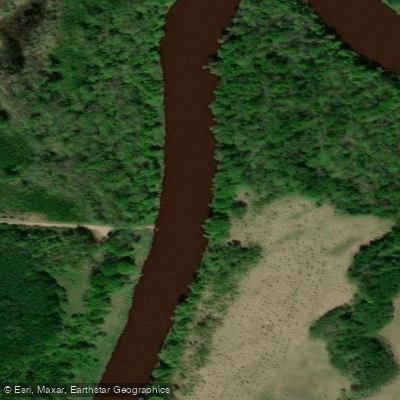
Little Fork River, Devereaux Public Water Access Site
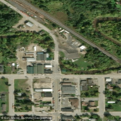
Little Fork River, Veterans Park
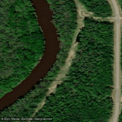
Little Fork River, Fiedler Public Water Access Site
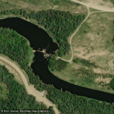
Little Fork River, Samuelson Park Public Water Access Site
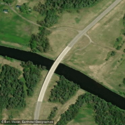
Little Fork River, Silverdale Public Water Access Site
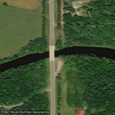
Little Fork River, Hwy 73 Bridge Public Water Access Site
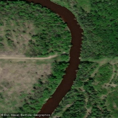
Little Fork River, Dentaybow Public Water Access Site
Paddle smarter with real-time insights
Whether you're en route and conditions shift or you're looking for the best spot based on current flows, we enable you to make informed decisions on the fly.








Find Places to Paddle

Over 400,000 Places to Paddle
Every user gets free access to launch points, boat ramps, and public property parcels.


Water and weather conditions (10 day forecast)
See the best times to paddle Little Fork River and check the forecast before you go.
LITTLE FORK RIVER AT LITTLEFORK, MN
Paddling near Little Fork River
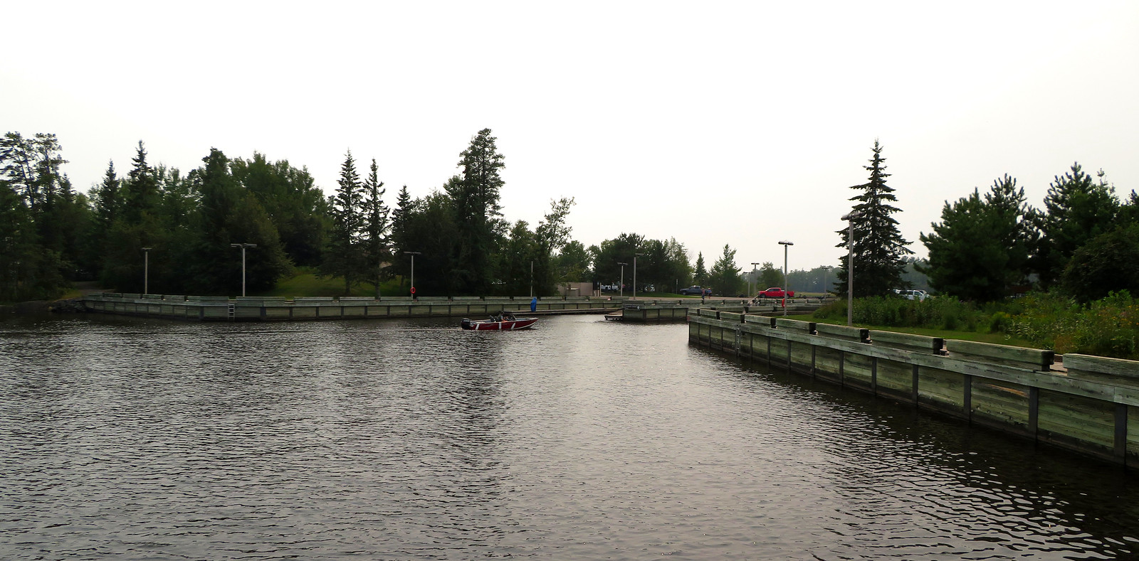
Rainy Lake
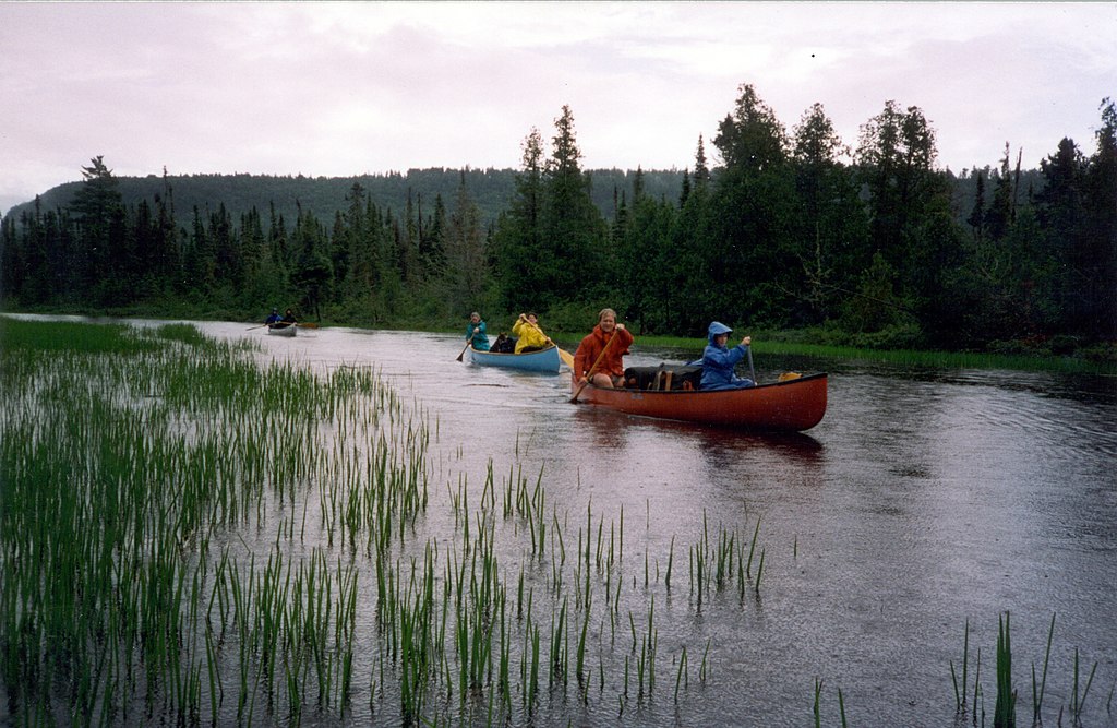
Rainy River
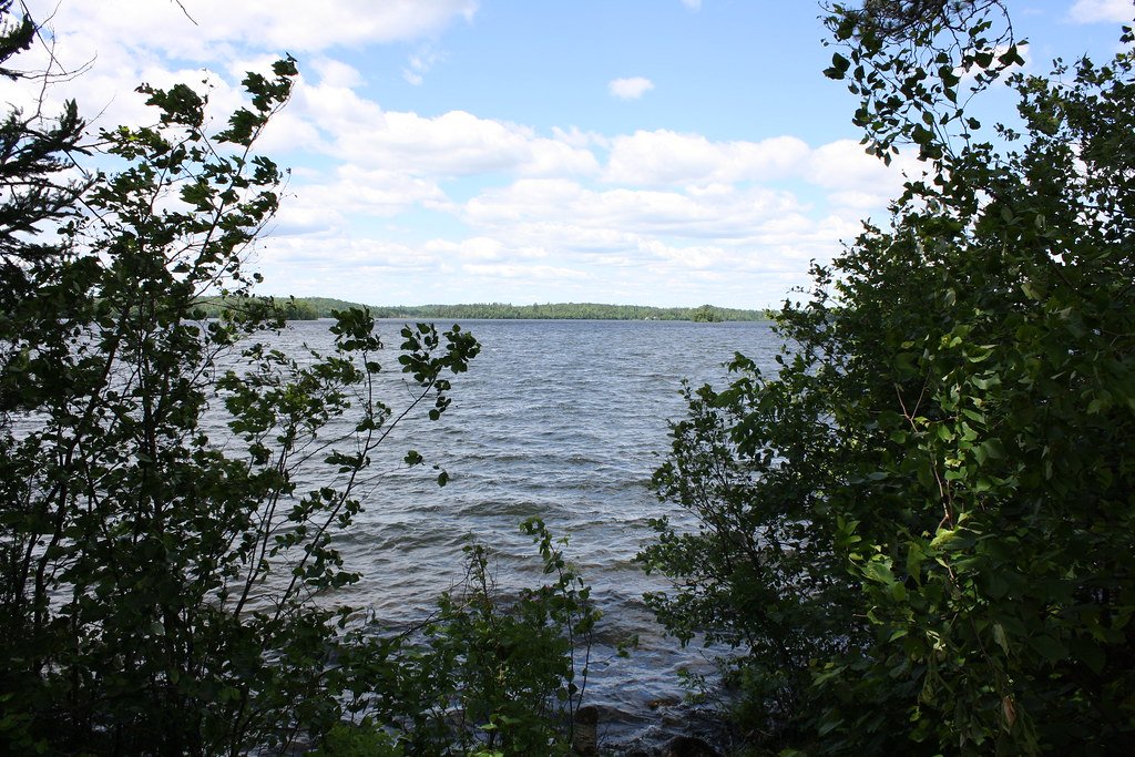
Vermilion Lake
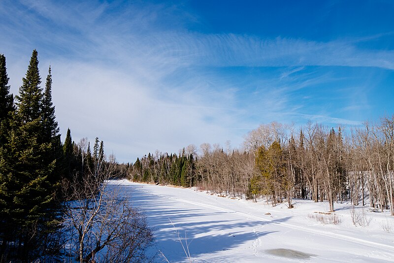
Big Fork River
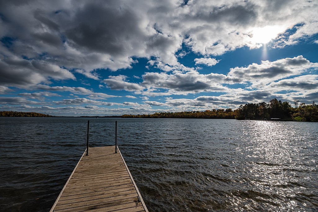
Trout Lake
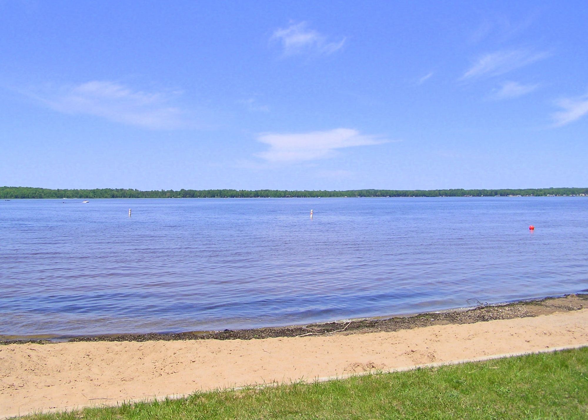
Loon Lake
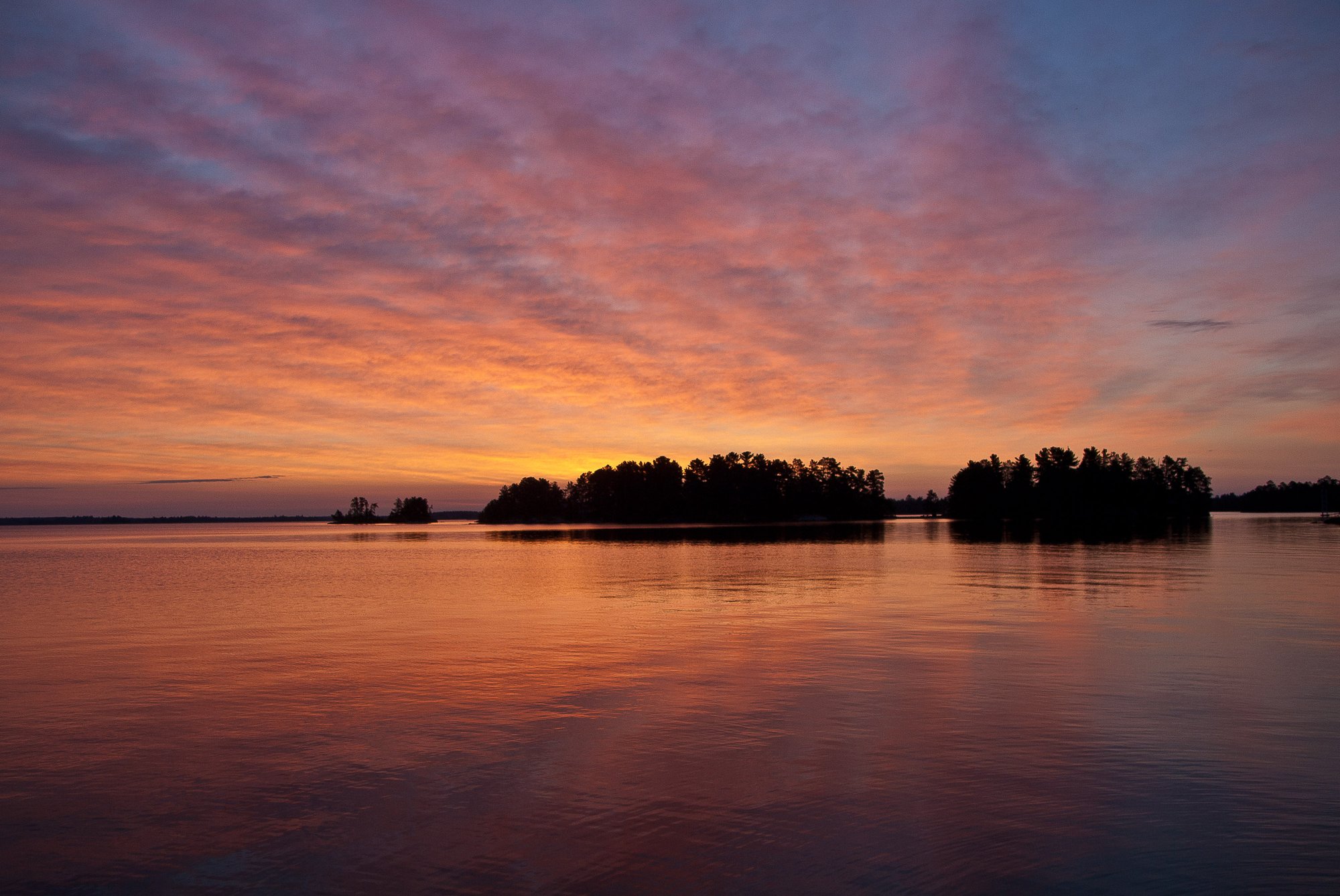
Rainy Lake
Kabetogama Lake
Namakan Lake
Ash River
Explore Minnesota waters
Top paddling waters
Popular Cities
Loading popular cities...
Explore near Little Fork River
Access points
- Little Fork River, Lofgren Park Public Water Access Site
- Little Fork River, Elm Street Public Water Access Site
- Little Fork River, Devereaux Public Water Access Site
- Little Fork River, Veterans Park
- Little Fork River, Fiedler Public Water Access Site
- Little Fork River, Samuelson Park Public Water Access Site
- Little Fork River, Silverdale Public Water Access Site
- Little Fork River, Hwy 73 Bridge Public Water Access Site
- Little Fork River, Dentaybow Public Water Access Site
- Little Fork River Bridge
- Little Fork River Bridge
- Little Fork River Bridge
- All 70 spots
Nearby waters
More in Minnesota

Smarter Paddling Starts in the App.
Paddleways gives you everything you need to plan smarter, paddle better, and own every trip from first launch to takeout.