Long Lake
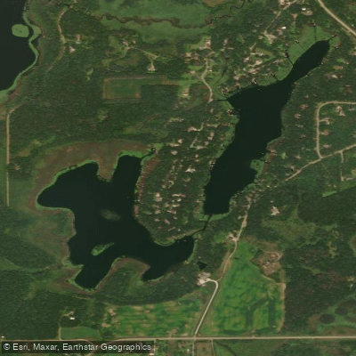
Long Lake
- Boat Ramps
- 1
- Access Points
- 1
- Campsites
- 2
Long Lake in Stearns and Kandiyohi Counties offers paddlers a shallow, accessible water experience with convenient access from multiple points. Located approximately 5 miles north of Willmar, this 1,568-acre lake features a maximum depth of 16 feet, creating generally calm conditions suitable for recreational paddling.
The lake provides two concrete DNR public access points: one on the northeast shore off County Road 27, and another on the south side north of County Road 25.
The shallow nature and extensive wetland borders create excellent wildlife viewing opportunities. Paddlers can observe diverse bird populations around several bulrush islands, including a large cormorant rookery on the main island that adds distinctive character to the lake. The shoreline consists of a mix of hardwoods, grasslands, and wetlands alongside some residential development. This combination creates varied scenery as you paddle, with natural areas offering peaceful respite.
The lake's relatively protected position and shallow depth mean waves typically remain manageable, though the open water can become choppy on windy days.
Long Lake supports warm-water fish species including largemouth bass, northern pike, sunfish, and walleye, which may occasionally be visible in the clear shallows. The abundant aquatic vegetation provides habitat for fish and wildlife but can create navigation challenges during peak summer growth.
The Rice Creek Water Trail system connects to Long Lake, offering adventurous paddlers extended route options. Paddlers can explore connections northward toward the creek's headwaters or venture south where the water picks up speed and presents more challenging conditions on the route toward the Mississippi River—approximately 8 miles downstream from Long Lake.
Given the lake's shallow depth and wetland characteristics, paddlers should be prepared for varying water clarity and seasonal vegetation growth. Early morning or evening paddles offer the best wildlife observation opportunities and typically calmer water conditions.
Water access, boat ramps & amenities
Learn how to get on Long Lake. Uncover great paddling access points, boat ramps, and all the facilities you need for an unforgettable day on the water. Some locations shown may border or include private property. Always check property boundaries and applicable regulations before visiting. PaddleWays's Public & Private Land layer can help you plan your access with confidence.
Paddle smarter with real-time insights
Whether you're en route and conditions shift or you're looking for the best spot based on current flows, we enable you to make informed decisions on the fly.








Find Places to Paddle

Over 400,000 Places to Paddle
Every user gets free access to launch points, boat ramps, and public property parcels.


Water and weather conditions (10 day forecast)
See the best times to paddle Long Lake and check the forecast before you go.
No forecast data available.
Paddling near Long Lake

Mississippi River
Sauk River
Rum River
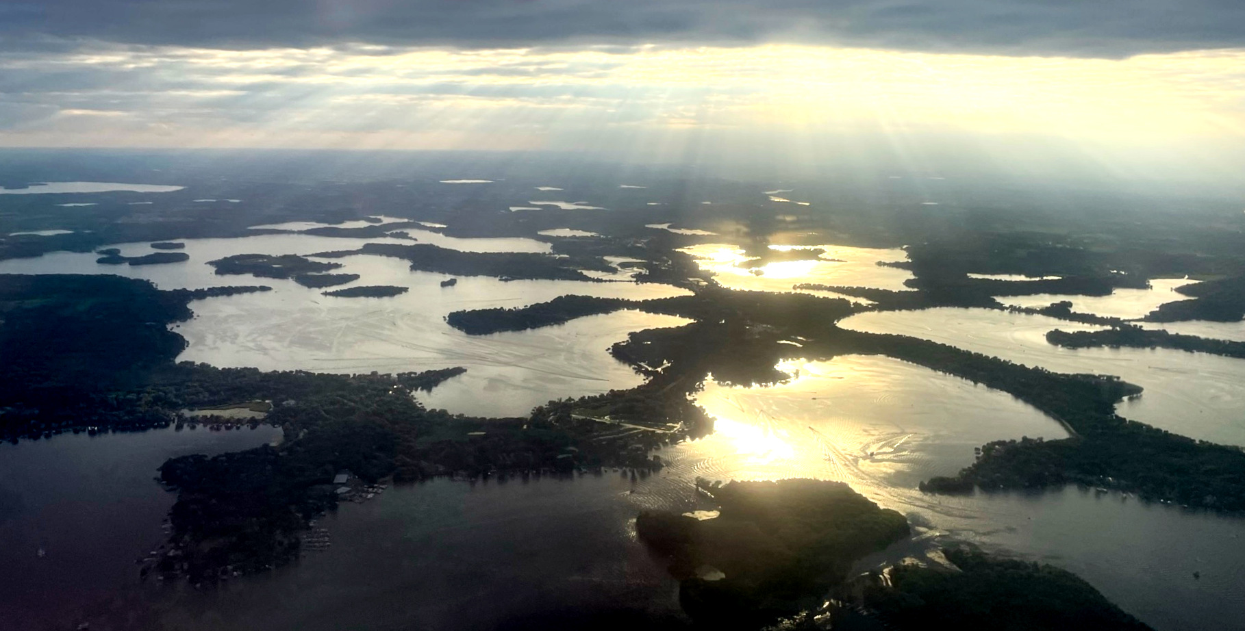
Lake Minnetonka
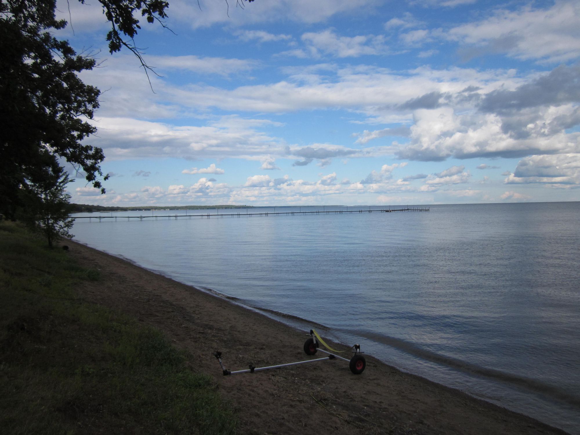
Mille Lacs Lake
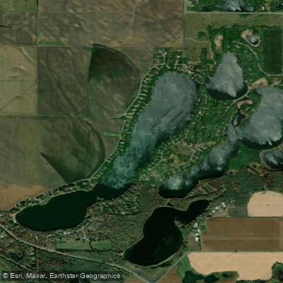
Long Lake
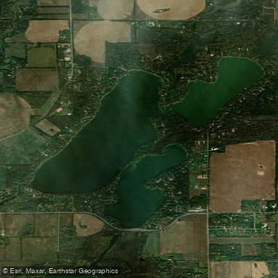
Julia Lake
Pickerel Lake
Warner Lake
Explore Minnesota waters
Top paddling waters
Popular Cities
Loading popular cities...
Explore near Long Lake
Access points
Nearby waters
More in Minnesota

Smarter Paddling Starts in the App.
Paddleways gives you everything you need to plan smarter, paddle better, and own every trip from first launch to takeout.