Long Lake
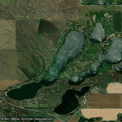
Long Lake
- Boat Ramps
- 0
- Access Points
- 1
- Campsites
- 3
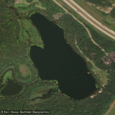
Long Lake in Sherburne County, Minnesota is a 174-acre lake with a maximum depth of approximately 32 feet and relatively low water clarity. The lake is accessible via a public boat launch on the southern end, which provides ample parking and a sandy beach, making it the best entry point for paddlers. An alternative access point exists at the public beach midway up the lake, though this requires a longer haul to the water. The lake's elongated shape provides natural wind protection, creating relatively calm conditions even on breezy days that make more open waters choppy. This makes it suitable for intermediate paddlers and families.
Once past the main portion of the lake, paddlers enter a smaller, quieter section that offers a welcome respite before reaching Rice Creek. For adventurous paddlers, Long Lake connects to Rice Creek, which can be followed upstream for additional exploration. However, this route presents challenges: a small dam requires portaging (though some kayakers have navigated around it without portaging, this is not recommended for paddleboards or canoes), and the passage upstream becomes increasingly narrow and surrounded by dense vegetation and wildlife habitat. The remoteness of this upper section creates a striking contrast to the proximity of urban areas.
The lake supports various fish species and offers wildlife viewing opportunities, particularly in the quieter upper reaches and along Rice Creek. During evening hours, there is minimal boat wake, and the gradual shoreline makes the boat launch area particularly suitable for paddlers bringing dogs.
Long Lake is part of the Rice Creek Water Trail system, which extends from Peltier Lake through multiple water bodies. The southern portion connects to the broader water trail network, eventually reaching the Mississippi River approximately eight miles downstream from Long Lake, offering multi-day paddling possibilities for experienced paddlers.
Water access, boat ramps & amenities
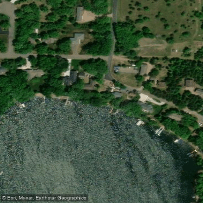
Learn how to get on Long Lake. Uncover great paddling access points, boat ramps, and all the facilities you need for an unforgettable day on the water. Some locations shown may border or include private property. Always check property boundaries and applicable regulations before visiting. PaddleWays's Public & Private Land layer can help you plan your access with confidence.
Paddle smarter with real-time insights
Whether you're en route and conditions shift or you're looking for the best spot based on current flows, we enable you to make informed decisions on the fly.








Find Places to Paddle

Over 400,000 Places to Paddle
Every user gets free access to launch points, boat ramps, and public property parcels.


Water and weather conditions (10 day forecast)
See the best times to paddle Long Lake and check the forecast before you go.
No forecast data available.
Paddling near Long Lake

Mississippi River
Sauk River
Rum River
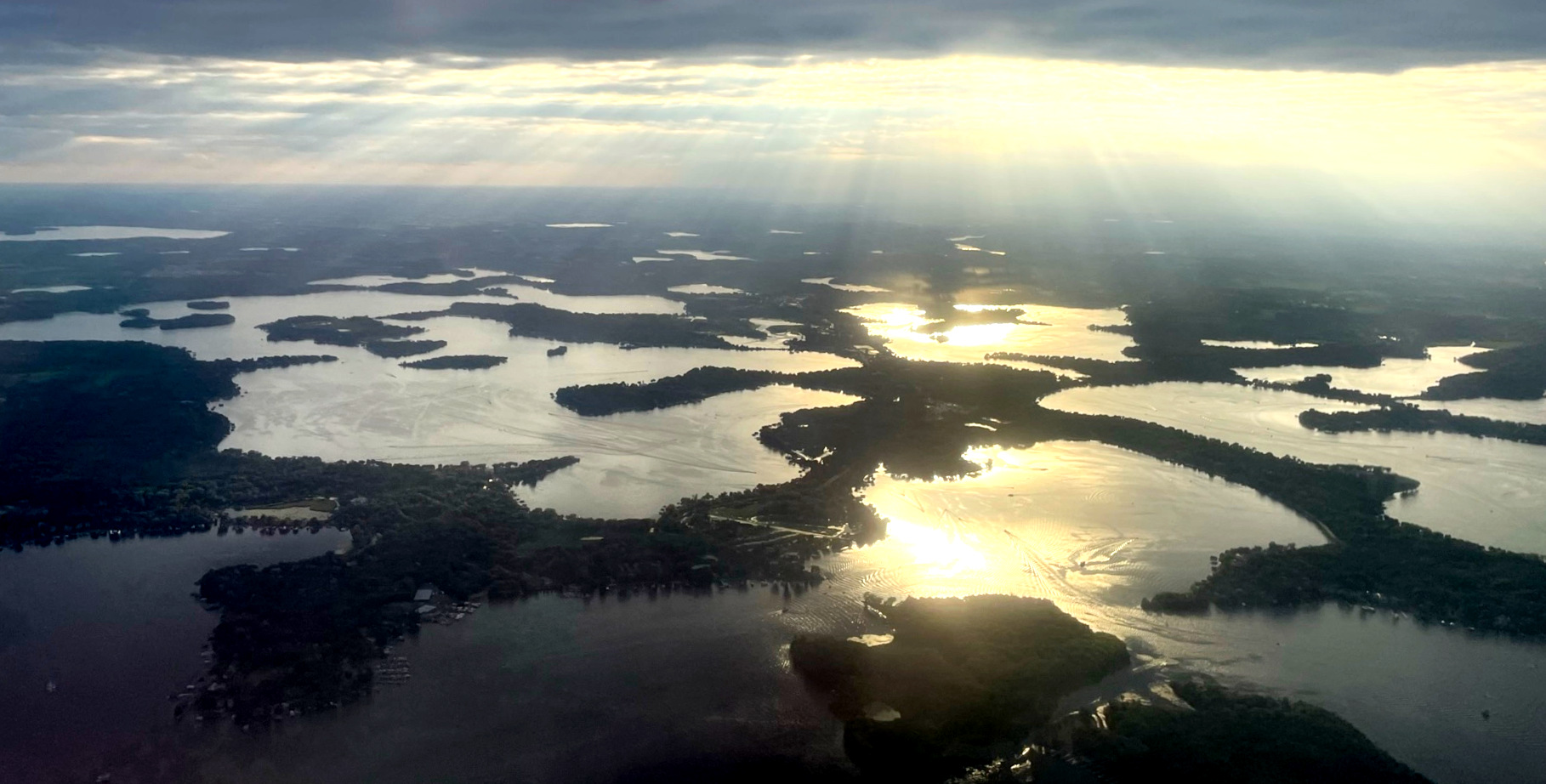
Lake Minnetonka
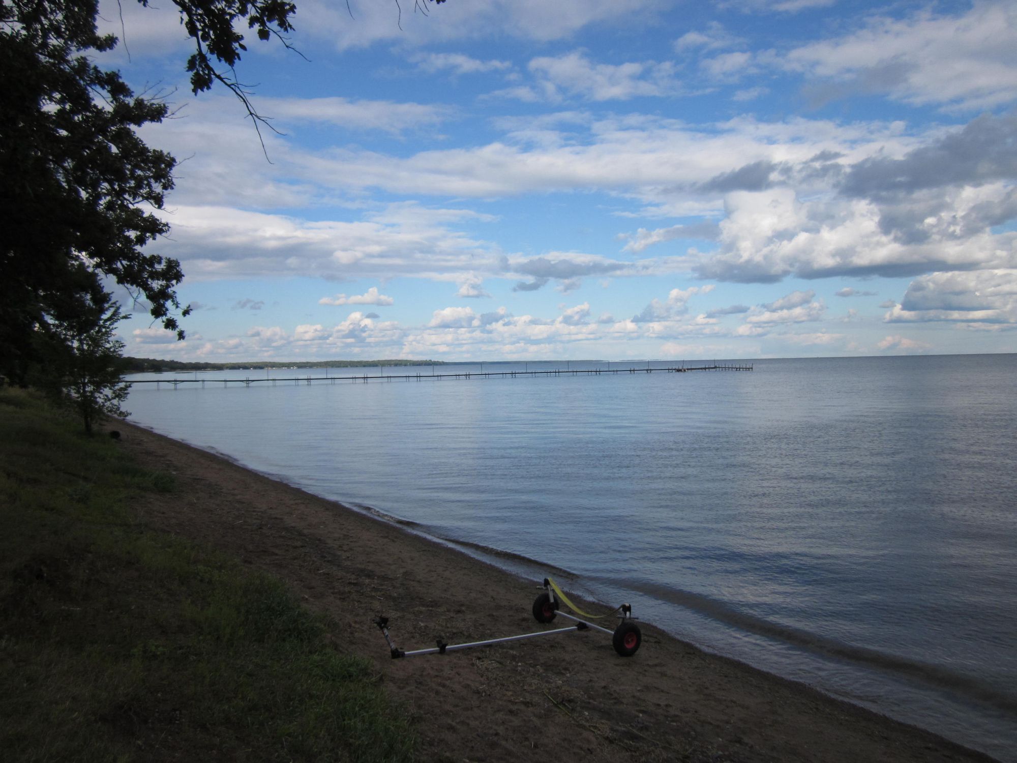
Mille Lacs Lake
Julia Lake
Pickerel Lake
Warner Lake
Long Lake
Explore Minnesota waters
Top paddling waters
Popular Cities
Loading popular cities...
Explore near Long Lake
Access points
Nearby waters
More in Minnesota

Smarter Paddling Starts in the App.
Paddleways gives you everything you need to plan smarter, paddle better, and own every trip from first launch to takeout.