Minnesota River
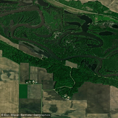
Minnesota River
- Boat Ramps
- 44
- Access Points
- 60
- Campsites
- 38
The Minnesota River, a significant waterway in the heart of Minnesota, offers paddlers a journey through the state's rich landscape. Stretching for hundreds of miles, this river is known for its generally calm waters, making it an excellent choice for paddlers of various skill levels, from beginners to experienced canoeists and kayakers.
One of the most popular sections for paddling is the stretch from New Ulm to Henderson, covering approximately 50 miles of picturesque river valley. This section, which typically takes about 18 hours to complete, showcases the natural beauty of Minnesota, with forested banks, occasional bluffs, and abundant wildlife. The difficulty ranges from flatwater to mild Class I rapids, providing a relaxing yet engaging paddling experience. The Minnesota River Valley National Scenic Byway runs alongside much of the river, enhancing the area's appeal and offering additional recreational opportunities for those who wish to explore beyond the water.
Paddlers can enjoy not only the river itself but also the surrounding landscape, which is rich in both natural and cultural history.
Wildlife enthusiasts will find plenty to observe along the Minnesota River. The river corridor serves as an important habitat for various bird species, mammals, and fish. Keep an eye out for bald eagles, herons, and perhaps even deer or beavers along the shoreline.
For those planning multi-day trips, the New Ulm to Henderson section is an excellent option, with opportunities for riverside camping. However, paddlers should be well-prepared for extended journeys, carrying appropriate gear and supplies. It's also worth noting that water levels can fluctuate seasonally, affecting paddling conditions and trip planning.
Access points are numerous along the river, with New Ulm and Henderson being key put-in and take-out locations. Other towns like Mankato also offer access and outfitting services for paddlers. These communities serve as gateways to the river, providing amenities and local knowledge for visitors.
The best time to paddle the Minnesota River is typically from late spring through early fall when water levels are most favorable and weather conditions are pleasant. However, it's always advisable to check current river conditions and forecasts before embarking on a trip.
Safety is paramount on the Minnesota River. While generally calm, the river can present challenges such as submerged logs, occasional rapids, and changing water levels. Paddlers should always wear life jackets, be aware of weather conditions, and inform others of their trip plans.
Beyond its recreational value, the Minnesota River holds significant historical and cultural importance. It has been a vital transportation route and life source for indigenous peoples and early settlers, shaping the development of the region over centuries.
Whether you're looking for a short day trip or a multi-day adventure, the Minnesota River offers a quintessential Midwestern paddling experience. Its blend of natural beauty, historical significance, and accessibility makes it a cherished destination for both local and visiting paddlers alike.
Water access, boat ramps & amenities
Learn how to get on Minnesota River. Uncover great paddling access points, boat ramps, and all the facilities you need for an unforgettable day on the water. Some locations shown may border or include private property. Always check property boundaries and applicable regulations before visiting. PaddleWays's Public & Private Land layer can help you plan your access with confidence.
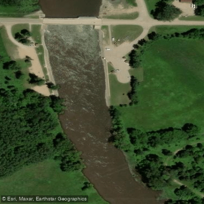
Lac Qui Parle Lake, Dam Public Water Access Site
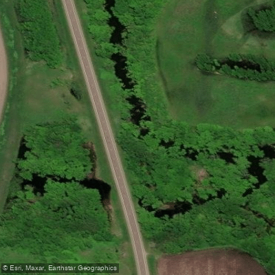
Minnesota River, Hwy 75 Public Water Access Site
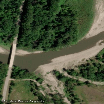
Minnesota River, Skalbekken Public Water Access Site
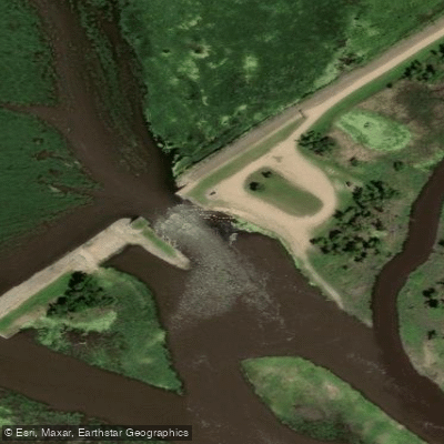
Minnesota River, Marsh Lake Public Water Access Site
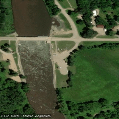
Minnesota River, Lac Qui Parle Access
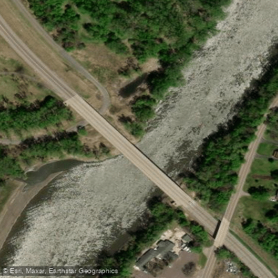
Minnesota River, Riverside Park Public Water Access Site
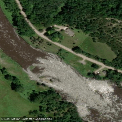
Minnesota River, Minnesota Falls Public Water Access Site
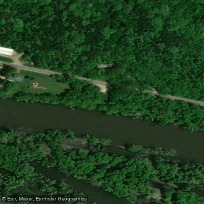
Minnesota River, Harkin Store Public Water Access Site
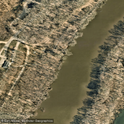
Minnesota River, Fort Snelling Entrance Portage Public Water Access
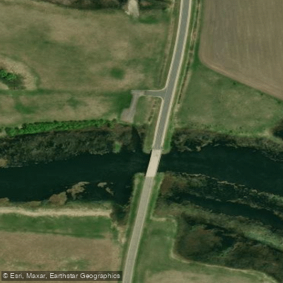
Minnesota River, Odessa Public Water Access Site
Paddle smarter with real-time insights
Whether you're en route and conditions shift or you're looking for the best spot based on current flows, we enable you to make informed decisions on the fly.








Find Places to Paddle

Over 400,000 Places to Paddle
Every user gets free access to launch points, boat ramps, and public property parcels.


Water and weather conditions (10 day forecast)
See the best times to paddle Minnesota River and check the forecast before you go.
MINNESOTA RIVER AT ORTONVILLE, MN
All Flow Stations
Paddling near Minnesota River
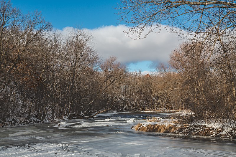
Sauk River
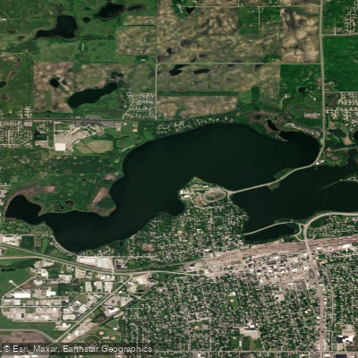
Foot Lake
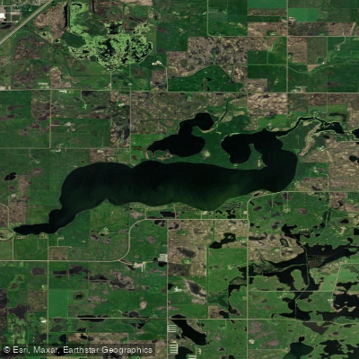
Lake Wakanda
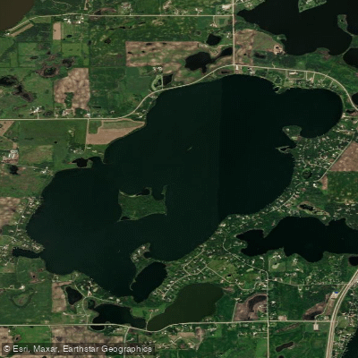
Long Lake
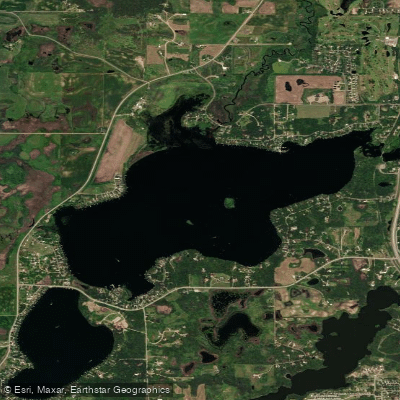
Nest Lake
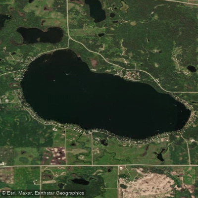
Andrew Lake
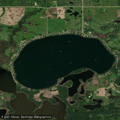
Lake Florida
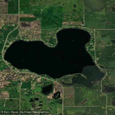
Diamond Lake
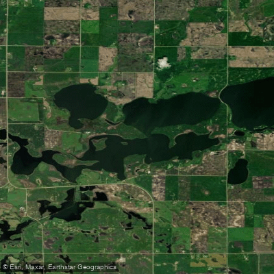
Little Kandiyohi Lake
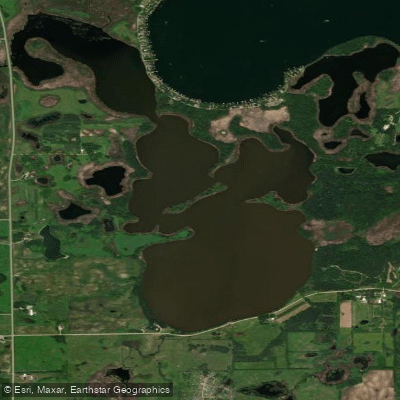
Florida Slough Lake
Explore Minnesota waters
Top paddling waters
Popular Cities
Loading popular cities...
Explore near Minnesota River
Access points
- Lac Qui Parle Lake Dam Boat Ramp
- Minnesota River, Renville County Park #4 Public Water Access Site
- Roe Boat Ramp
- Minnesota River, Twin Bridges Public Water Access Site
- Minnesota River Boat Ramp
- Land of Memories Park Boat Ramp
- Minnesota River, Kettner Landing Public Water Access Site
- Minnesota River, Morton Access Public Water Access Site
- Wegdahl Boat Ramp
- Minnesota River, Buessman Bridge, Co Rd 14 Public Water Access Site
- North Redwood Boat Ramp
- Minnesota Falls Boat Ramp
- All 334 spots
Nearby waters
More in Minnesota

Smarter Paddling Starts in the App.
Paddleways gives you everything you need to plan smarter, paddle better, and own every trip from first launch to takeout.