Curated by PaddleWays
RouteFlatwater
- Distance
- 5.2 mi
- Paddle time
- ~1.5 hrs
- Put-in → take-out
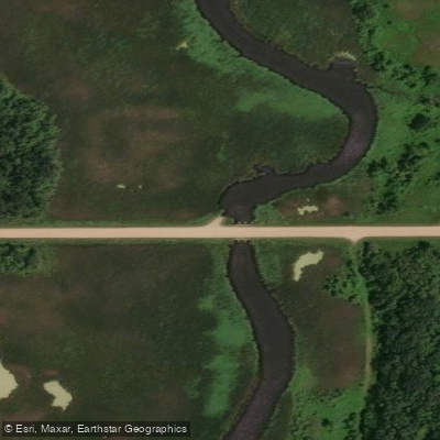
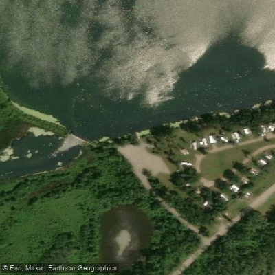
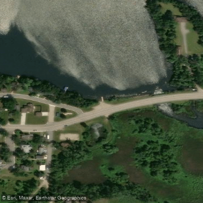
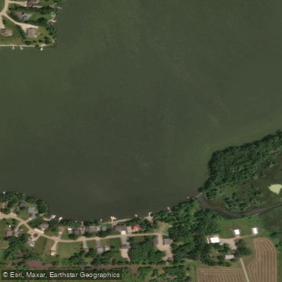
- Pomme de Terre River, Larson Landing Public Water Access Site → Pomme de Terre River, Appleton Public Water Access Site
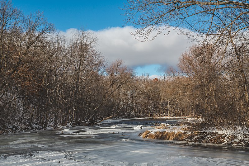
The Pomme de Terre River is a scenic waterway in western Minnesota, originating at Stalker Lake in Otter Tail County and flowing southward for approximately 125 miles before joining the Minnesota River at Marsh Lake. This classic prairie river meanders through a diverse landscape of woodlands, farmlands, and open prairie, serving as an important tributary to the Minnesota River watershed. Paddling opportunities abound on the Pomme de Terre, with several notable sections offering enjoyable experiences for a range of skill levels. The river is primarily classified as flatwater to Class I-II, making it suitable for novice to intermediate paddlers. However, the local nickname Pomme de Terror hints at occasional challenges, particularly strainers downstream of Appleton that require attentiveness.
Popular paddling sections include the 6-mile stretch from Larson to Appleton, which offers a mix of farmland and wooded scenery ideal for beginners. The Morris area also provides pleasant paddling experiences, with Pomme de Terre Park serving as a convenient access point. The river's character changes significantly due to the Pomme de Terre Reservoir, which has eliminated the central portion for floating, but sections above and below remain navigable. Spring and early summer typically offer the best water levels for paddling, though the river can be enjoyed throughout the warm season.
The Pomme de Terre's ecosystem supports a variety of flora and fauna typical of Minnesota's prairie river corridors, providing ample opportunities for wildlife observation. Key landmarks include the Pomme de Terre Dam and the river's confluence with the Minnesota River at Marsh Lake. Access points are available near several towns, including Morris, Appleton, and Larson, facilitating both day trips and potential multi-day adventures for more experienced paddlers.
The river holds cultural significance, with its name Pomme de Terre meaning potato in French, referring to the potato-like native plants used as food by the Dakota people who inhabited the area. Today, the river continues to play an important role in local communities, serving as a recreational resource and a focus for conservation efforts.
Safety considerations include being prepared for strainers, particularly in the lower sections, and checking water levels before paddling. The river drops an average of 3.5 feet per mile, creating a gentle but steady flow. Paddlers should also be aware of the Pomme de Terre Reservoir's impact on river navigation. For those seeking a multi-day experience, the full journey from Stalker Lake to Marsh Lake offers an immersive adventure through the heart of western Minnesota's prairie landscape, though careful planning is required due to the reservoir's interruption of the river's course.
Curated routes
Hand-picked by the PaddleWays team, with put-ins, take-outs, paddle times and the hazards along the way.
RouteFlatwater
Hazards
No paddler has reported a hazard here yet, so these are the dams, falls and big rapids on our map. Hazards change with flows and storms, so check them before you launch.
From the community
Nobody has shared a trip on Pomme de Terre River yet. Paddle it, then tell the next paddler how it went.
See exactly where the public can get on and off the river. Launch points and boat ramps are paired with PaddleWays' public land data so you know where you can legally land.
Public shoreline
1%of the river's shoreline is public
Most of the riverbank is private. Launch, land and camp only at public access points.
Flows, weather and a route-by-route verdict, so you know which stretch of the Pomme de Terre River is worth paddling today.
Live flows, marked hazards and fresh trip reports from paddlers who were just on the water, all in one place.





Every user gets free access to launch points, boat ramps, and public property parcels.
Loading popular cities...
PaddleWays gives you everything you need to plan smarter, paddle better, and own every trip from first launch to takeout.