St. Louis River Boat Ramp
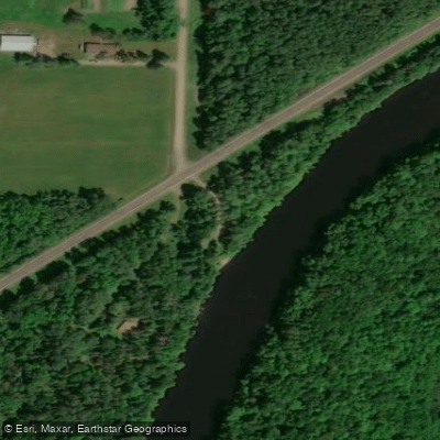
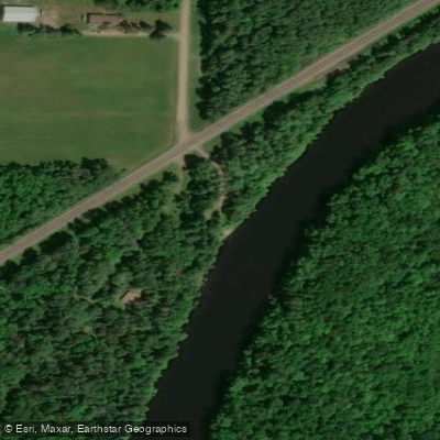
St. Louis River Boat Ramp
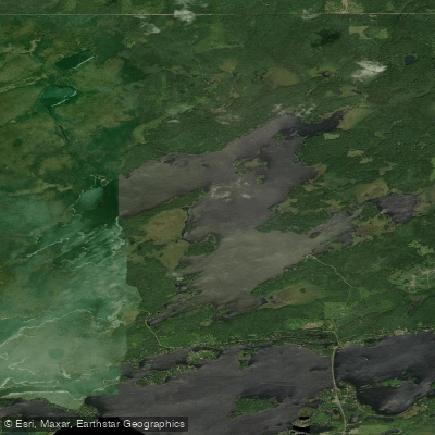
This carry-in access point on the St. Louis River at County Road 29 (river mile 78. 5) provides a convenient put-in location for paddlers exploring the Meadowlands to Highway 2 segment of the St. Louis River State Water Trail.
The access is situated in a scenic, wooded section of river with a steady current and occasional Class I-II rapids downstream, making it suitable for intermediate paddlers planning multi-day trips with watercraft campsites available along this route.
More ways to access Saint Louis River
Explore the wonders of Saint Louis River! Find excellent paddling spots, easy access to boat ramps, and all the amenities you need for a memorable day by the water. Your adventure starts here.
Water and weather conditions (10 day forecast)
Check the forecast at St. Louis River Boat Ramp before you go paddling.
No forecast data available.
Paddling near St. Louis River Boat Ramp

Lake Superior

Island Lake Reservoir
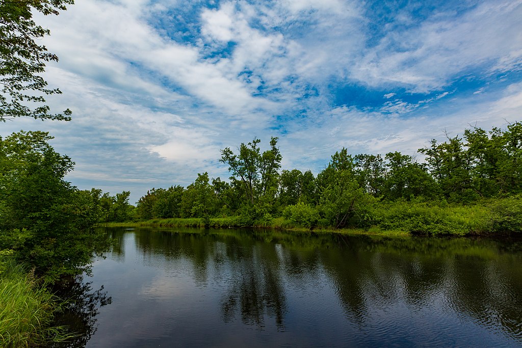
Cloquet River
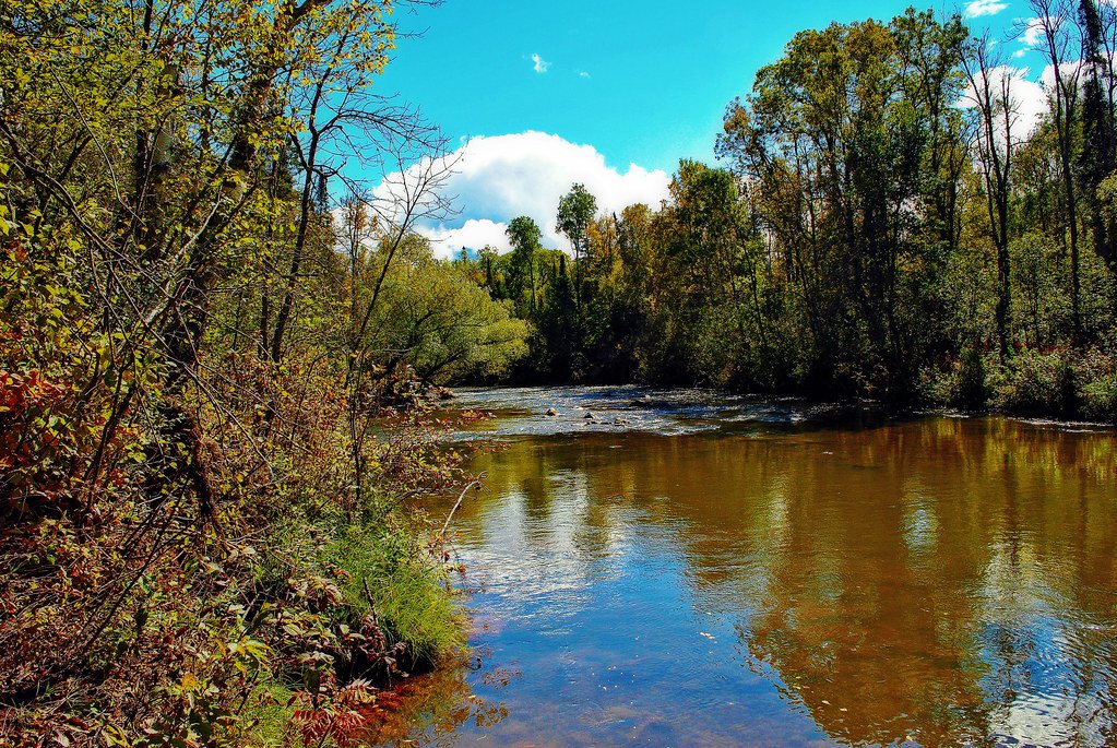
Bois Brule River
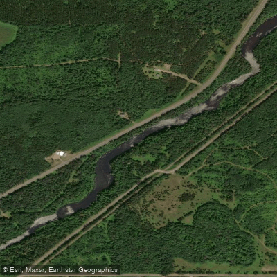
Namekagon River

Fish Lake Reservoir
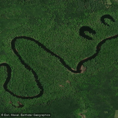
Saint Louis River
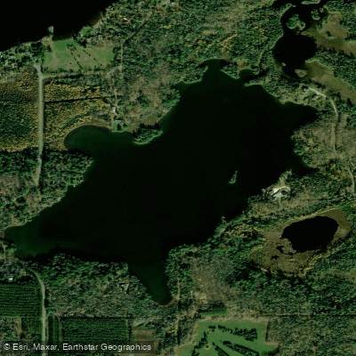
Fredenberg Lake
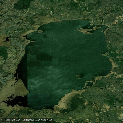
Wild Rice Lake Reservoir
Boulder Lake Reservoir
Minnesota licenses and regulations
Explore Minnesota waters
Top paddling waters
No waters available right now.
Popular Cities
Loading popular cities...
Explore near St. Louis River Boat Ramp
On this water
Nearby spots
Nearby waters
More in Minnesota

Smarter Paddling Starts in the App.
Paddleways gives you everything you need to plan smarter, paddle better, and own every trip from first launch to takeout.