Saint Louis River
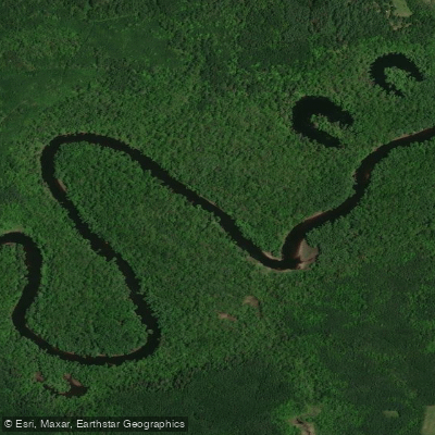
Saint Louis River
- Boat Ramps
- 11
- Access Points
- 21
- Campsites
- 10
The Saint Louis River, Minnesota's largest tributary to Lake Superior, offers a diverse and exciting paddling experience for enthusiasts of all skill levels. Originating in the Superior National Forest, this expansive waterway flows southwest before turning southeast to meet Lake Superior, covering a watershed of 3,650 square miles.
The river's upper reaches provide Minnesota's only whitewater rafting opportunities, with the popular Upper Whitewater Run near Scanlon offering Class II-III rapids (up to Class IV in high water) over a 4-mile stretch. This section is ideal for building skills and family-friendly adventures.
As water levels drop later in the summer, paddlers often shift to the more technical Lower Whitewater Run through Jay Cooke State Park, featuring Class III-IV rapids and scenic narrow canyons. Downstream, the river transforms into a unique freshwater estuary - the largest in North America.
The St. Louis River Estuary National Water Trail, nestled between Duluth, Minnesota and Superior, Wisconsin, offers 11 loop trails of varying lengths and difficulties. This section provides a stark contrast to the upper whitewater, with flatwater paddling opportunities suitable for beginners and families.
Spring typically brings the highest water levels, ideal for whitewater enthusiasts, while summer and fall offer more stable conditions for a wider range of paddling experiences.
The river's ecosystem supports a diverse array of flora and fauna, including wild rice beds in the estuary's shallow embayments, which provide crucial habitat for wildlife. Notable landmarks include the Thomson Reservoir, which separates the upper and lower whitewater sections, and the historic Fond du Lac Dam.
The river passes through or near several towns, including Scanlon, Carlton, and Duluth, providing multiple access points for paddlers.
The Saint Louis River holds significant historical and cultural importance, having been a vital transportation route for Indigenous peoples and early European settlers. Today, it continues to play a crucial role in the region's ecology and economy.
Safety considerations are paramount, especially in the whitewater sections. Paddlers should be aware of their skill level, check water conditions before embarking, and be prepared for rapid changes in weather. The estuary section requires caution due to potential boat traffic and changing wind conditions on Lake Superior.
For those seeking a multi-day adventure, combining the Upper and Lower Whitewater Runs with the estuary paddle offers a comprehensive experience of the river's diverse character. Alternatively, the unique "Choo-Choo Paddle" allows paddlers to take a vintage train ride upstream before kayaking or canoeing back downstream, providing a blend of history and outdoor recreation.
Whether you're seeking the thrill of whitewater, the tranquility of flatwater paddling, or a journey through a unique freshwater estuary, the Saint Louis River offers a paddling experience that showcases the natural beauty and diversity of Minnesota's waterways.
Water access, boat ramps & amenities
Learn how to get on Saint Louis River. Uncover great paddling access points, boat ramps, and all the facilities you need for an unforgettable day on the water. Some locations shown may border or include private property. Always check property boundaries and applicable regulations before visiting. PaddleWays's Public & Private Land layer can help you plan your access with confidence.
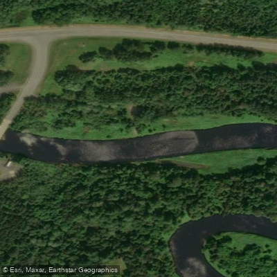
St. Louis River, Townline Rd Public Water Access Site
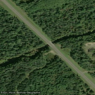
St. Louis River, Hwy 110 Public Water Access Site
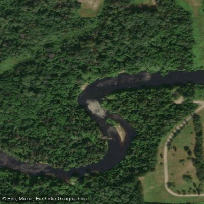
St. Louis River, Forbes Public Water Access Site
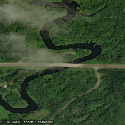
St. Louis River, County Rd 95 Public Water Access Site
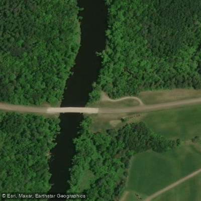
St. Louis River, Toivola Public Water Access Site
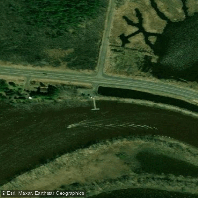
St. Louis River, Fond du Lac (E) Public Water Access Site
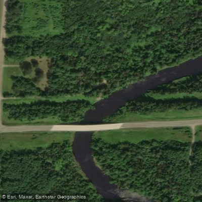
St. Louis River, Zim Public Water Access Site
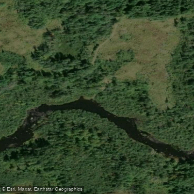
St. Louis River, Hush Public Water Access Site
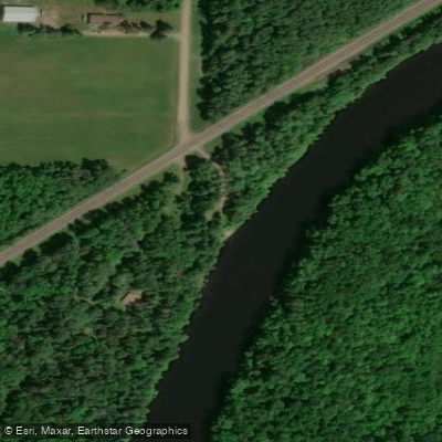
St. Louis River, Co Rd 29 Public Water Access Site
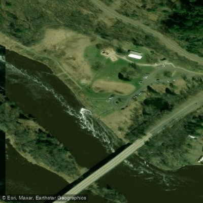
Fond du Lac Access
Paddle smarter with real-time insights
Whether you're en route and conditions shift or you're looking for the best spot based on current flows, we enable you to make informed decisions on the fly.








Find Places to Paddle

Over 400,000 Places to Paddle
Every user gets free access to launch points, boat ramps, and public property parcels.


Water and weather conditions (10 day forecast)
See the best times to paddle Saint Louis River and check the forecast before you go.
ST. LOUIS RIVER NEAR SKIBO, MN
All Flow Stations
Paddling near Saint Louis River

Lake Superior
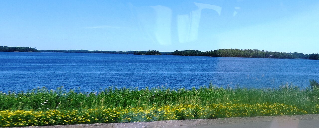
Island Lake Reservoir
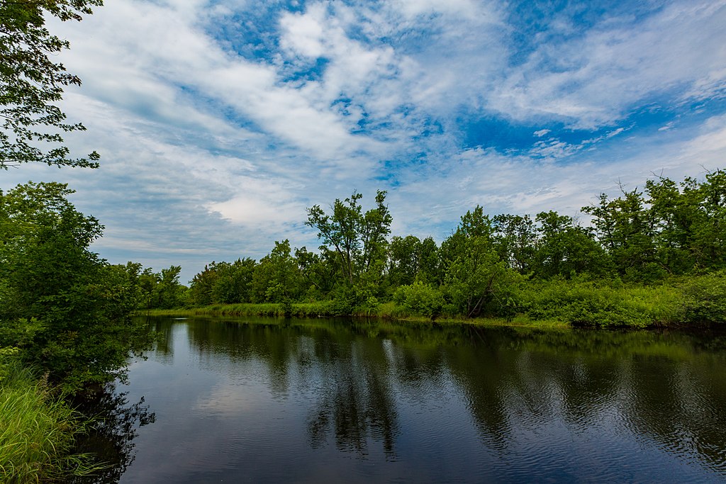
Cloquet River
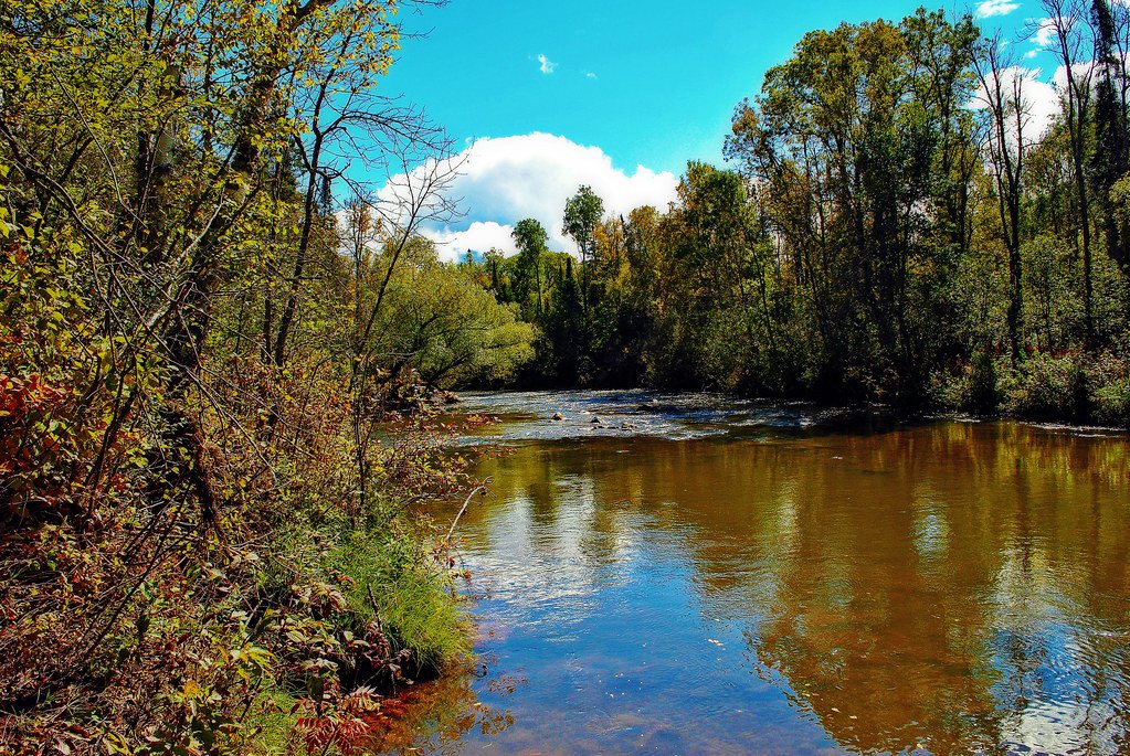
Bois Brule River
Namekagon River
Fish Lake Reservoir
Fredenberg Lake
Wild Rice Lake Reservoir
Boulder Lake Reservoir
Explore Minnesota waters
Top paddling waters
Popular Cities
Loading popular cities...
Explore near Saint Louis River
Access points
- St. Louis River, Skibo Mill Public Water Access Site
- St. Louis River Boat Ramp
- St. Louis River, Co Rd 346 Public Water Access Site
- St. Louis River Boat Ramp
- St. Louis River Boat Ramp
- St. Louis River Boat Ramp
- St. Louis River Boat Ramp
- Fond du Lac Campground Boat Ramp
- St. Louis River, Hwy 2 Public Water Access Site
- St. Louis River Boat Ramp
- St. Louis River Boat Ramp
- St. Louis River, Townline Rd Public Water Access Site
- All 138 spots
Nearby waters
More in Minnesota

Smarter Paddling Starts in the App.
Paddleways gives you everything you need to plan smarter, paddle better, and own every trip from first launch to takeout.