Bois Brule River
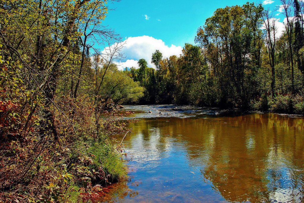
Bois Brule River
- Boat Ramps
- 11
- Access Points
- 11
- Campsites
- 2
The Bois Brule River, often simply called the Brule, is a pristine 44-mile waterway in northwestern Wisconsin that flows northward through Douglas County before emptying into Lake Superior. Originating from springs near Solon Springs, the river winds through the Brule River State Forest, gathering water from numerous cold springs and small creeks along its journey. Renowned for its exceptional paddling opportunities, the Bois Brule offers a diverse range of experiences for canoeists and kayakers of all skill levels.
The river is typically divided into four main sections, each with its own character: 1. Upper Brule (Stones Bridge to Winneboujou): A popular 10-mile stretch ideal for beginners, featuring gentle rapids and scenic views. 2. Middle Brule (Winneboujou to Highway 2): Intermediate paddling with increasing rapids and the historic Cedar Island Estate. 3. Lower Brule (Highway 2 to Highway 13): More challenging whitewater, including the famous Lenroot Ledges, suitable for experienced paddlers. 4. Mouth of the Brule (Highway 13 to Lake Superior): A final 8.5-mile run with continuous rapids before reaching Lake Superior.
The river's difficulty ranges from Class I to III rapids, with the most challenging sections found in the lower reaches. Water levels are generally consistent due to the spring-fed nature of the river, but spring snowmelt can create higher, faster conditions. The Bois Brule is best paddled from late spring through early fall, with summer offering warm weather and good water levels.
The surrounding Brule River State Forest showcases a diverse ecosystem, home to white pine, birch, and maple forests, as well as wildlife such as bald eagles, otters, and brook trout. Key landmarks include the Cedar Island Estate, where five U.S. presidents have vacationed, and the picturesque boathouses that dot the upper river.
Major access points include Stones Bridge Landing, Winneboujou Landing, Highway 2 Landing, and the Highway 13 Landing, all accessible from the nearby towns of Brule and Superior.
Historically significant, the Bois Brule served as a vital transportation route for Native Americans and fur traders. Today, it's protected as part of the Brule River State Forest and is a designated State Wild River.
Safety considerations include wearing life jackets, being aware of changing river conditions, and respecting private property along the banks. Anglers should note special fishing regulations, particularly for the prized brook trout population.
For those seeking a multi-day adventure, the entire river can be paddled in 2-3 days, with camping available at designated sites in the state forest. Whether seeking a leisurely float or an exhilarating whitewater experience, the Bois Brule River offers a quintessential northwoods paddling experience.
Water access, boat ramps & amenities
Learn how to get on Bois Brule River. Uncover great paddling access points, boat ramps, and all the facilities you need for an unforgettable day on the water. Some locations shown may border or include private property. Always check property boundaries and applicable regulations before visiting. PaddleWays's Public & Private Land layer can help you plan your access with confidence.
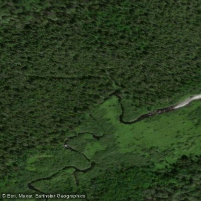
Stone Chimney Boat Ramp
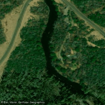
Highway 13 Boat Ramp
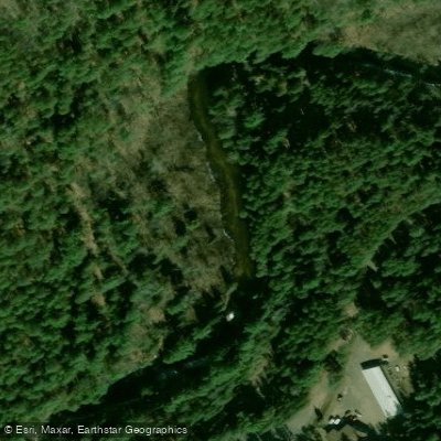
Bois Brule Boat Ramp
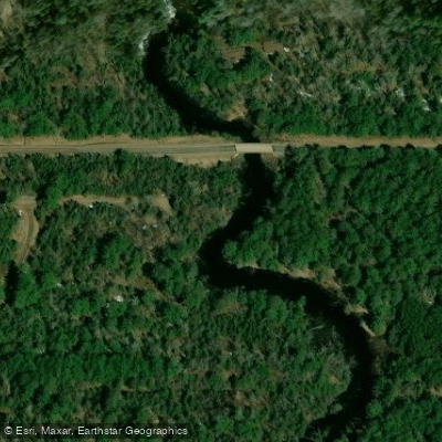
Winneboujou Boat Ramp
Bois Brule River Boat Ramp
Pine Tree Boat Ramp
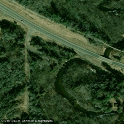
Highway 2 Boat Ramp
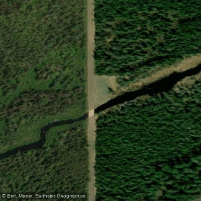
Stones Bridge Boat Ramp
Bois Brule River Boat Ramp
Copper Range Campground Boat Ramp
Paddle smarter with real-time insights
Whether you're en route and conditions shift or you're looking for the best spot based on current flows, we enable you to make informed decisions on the fly.








Find Places to Paddle

Over 400,000 Places to Paddle
Every user gets free access to launch points, boat ramps, and public property parcels.


Water and weather conditions (10 day forecast)
See the best times to paddle Bois Brule River and check the forecast before you go.
BOIS BRULE RIVER AT BRULE, WI
All Flow Stations
Paddling near Bois Brule River

Lake Superior
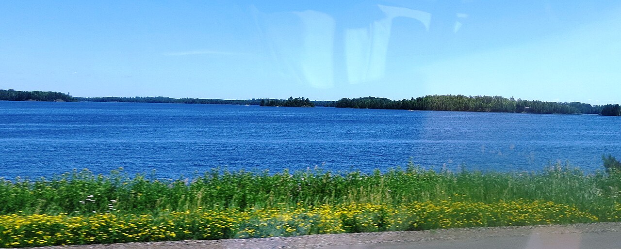
Island Lake Reservoir
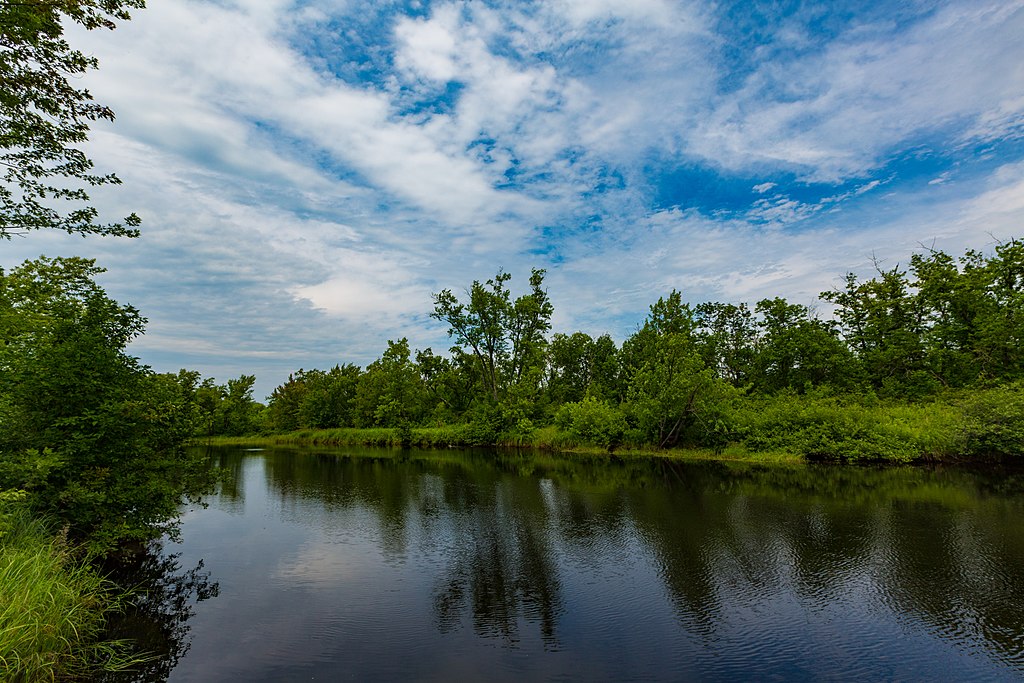
Cloquet River
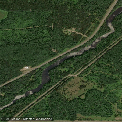
Namekagon River
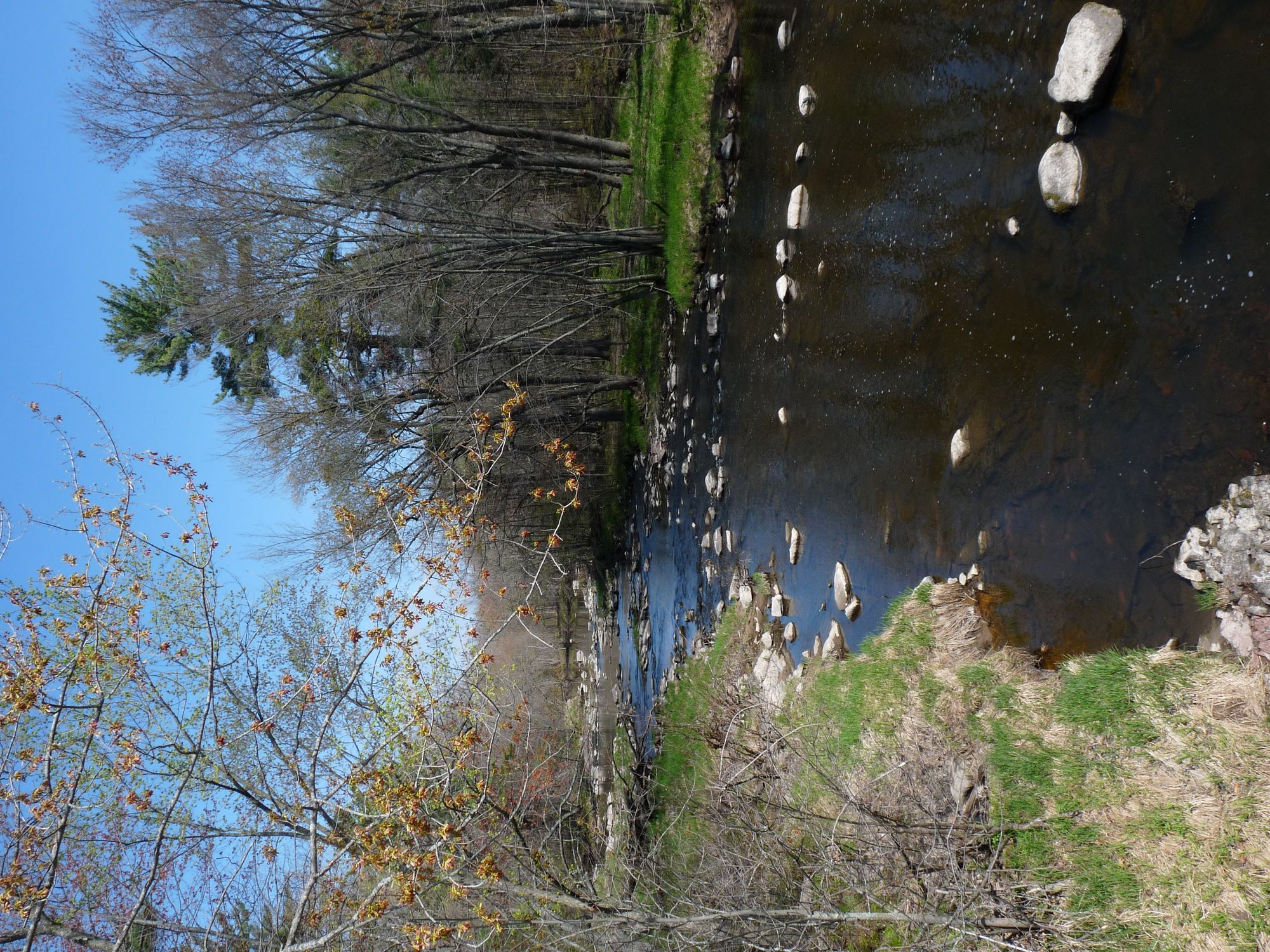
Yellow River
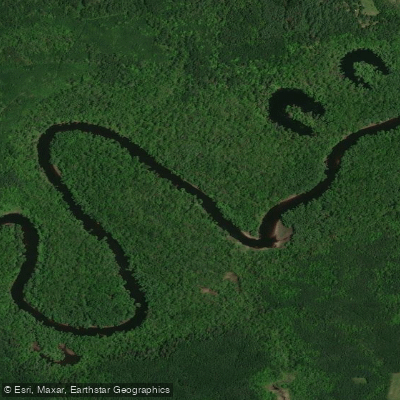
Saint Louis River
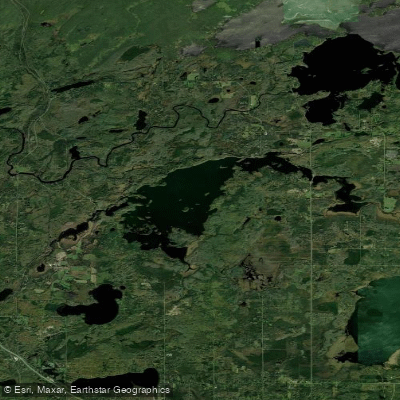
Fish Lake Reservoir
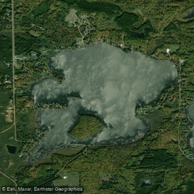
Amnicon Lake
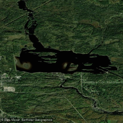
Thomson Reservoir
Explore Wisconsin waters
Top paddling waters
Popular Cities
Loading popular cities...
Explore near Bois Brule River
Access points
- Stone Chimney Boat Ramp
- Highway 13 Boat Ramp
- Bois Brule Boat Ramp
- Winneboujou Boat Ramp
- Bois Brule River Boat Ramp
- Pine Tree Boat Ramp
- Highway 2 Boat Ramp
- Stones Bridge Boat Ramp
- Bois Brule River Boat Ramp
- Copper Range Campground Boat Ramp
- Bois Brule River Mouth Boat Ramp
- Brule River State Forest Campground
- All 13 spots
Nearby waters
More in Wisconsin

Smarter Paddling Starts in the App.
Paddleways gives you everything you need to plan smarter, paddle better, and own every trip from first launch to takeout.