Cloquet River
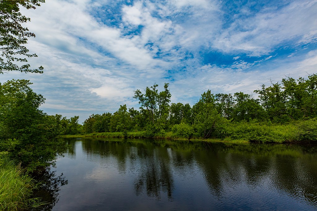
Cloquet River
- Boat Ramps
- 1
- Access Points
- 6
- Campsites
- 16
The Cloquet River is a scenic 64-mile waterway in northeastern Minnesota, originating at Katherine Lake in central Lake County and flowing southwest to its confluence with the St. Louis River near Brookston. This wild and picturesque river traverses the Cloquet Valley State Forest, offering paddlers a remote wilderness experience. The river features a diverse range of paddling opportunities, from placid flatwater stretches to challenging Class I-III rapids.
The upper section from Indian Lake to Island Lake is particularly rugged, with the river dropping 8.5 feet per mile through a narrow, heavily forested corridor rarely exceeding 30 feet in width. Below Island Lake Dam, the gradient eases to about 3.2 feet per mile, providing a mix of gentle flows and occasional Class I-II rapids suitable for intermediate paddlers. Spring and early summer typically offer optimal water levels, though the lower sections can often be paddled into fall.
The river corridor hosts a rich ecosystem of red and white pine, fir, spruce, aspen, and birch, providing habitat for diverse wildlife including walleye, smallmouth bass, northern pike, and brown trout. Key landmarks include the Island Lake Reservoir at river mile 28.6, White Side Rapids (Class II), and the river's confluence with the St. Louis.
Popular access points include Indian Lake Campground near Brimson, Bear Lake Road, Island Lake Dam, Bachelor Road, and the final takeout at Highway 2 where the Cloquet joins the St. Louis River. The Cloquet River Water Trail, established in 1967, offers well-maintained access points and campsites for multi-day trips. Paddlers should be prepared for remote conditions, especially in the upper reaches, and check current water levels before embarking. No permit is required for paddling.
This river holds cultural significance as part of the ancestral lands of the Ojibwe people. Today, it serves as an important recreational resource, offering visitors a chance to experience the wild beauty of Minnesota's north woods through activities like paddling, fishing, and wildlife viewing. For those seeking a longer adventure, the full 64-mile journey from Indian Lake to the St. Louis River confluence provides an immersive 3-5 day wilderness experience, showcasing the diverse character of this quintessential Minnesota river.
Water access, boat ramps & amenities
Learn how to get on Cloquet River. Uncover great paddling access points, boat ramps, and all the facilities you need for an unforgettable day on the water. Some locations shown may border or include private property. Always check property boundaries and applicable regulations before visiting. PaddleWays's Public & Private Land layer can help you plan your access with confidence.
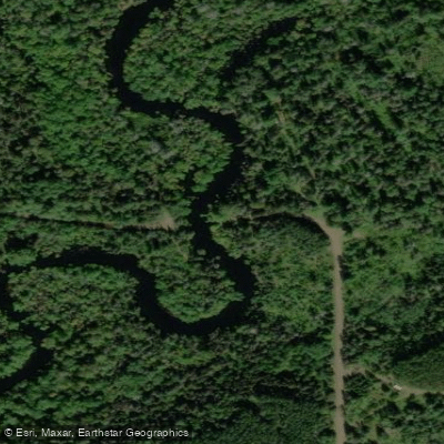
Cloquet River, South Loop Road Public Water Access Site
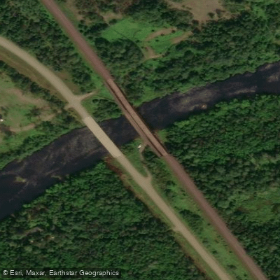
Cloquet River, Hwy 7 Public Water Access Site
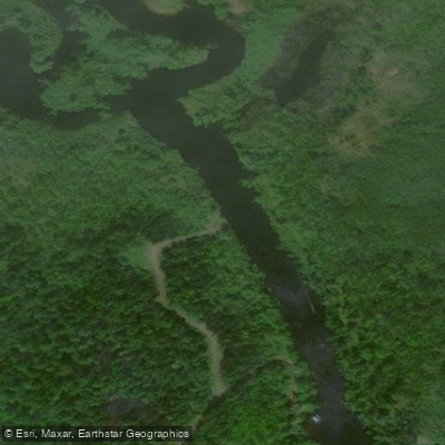
Cloquet River (S) Public Water Access Site
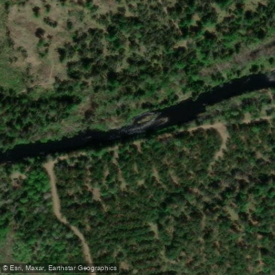
Cloquet River, Severson Landing/Bear Lake Road Public Water Access Site
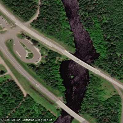
Cloquet River, Hwy 53 Wayside Rest Public Water Access Site
Paddle smarter with real-time insights
Whether you're en route and conditions shift or you're looking for the best spot based on current flows, we enable you to make informed decisions on the fly.








Find Places to Paddle

Over 400,000 Places to Paddle
Every user gets free access to launch points, boat ramps, and public property parcels.


Water and weather conditions (10 day forecast)
See the best times to paddle Cloquet River and check the forecast before you go.
No forecast data available.
Paddling near Cloquet River

Lake Superior
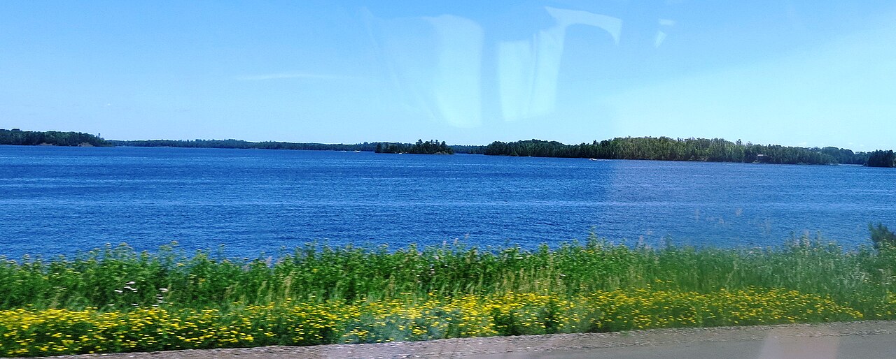
Island Lake Reservoir
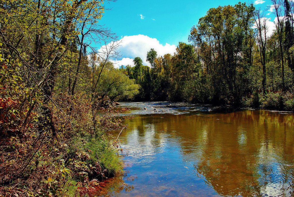
Bois Brule River
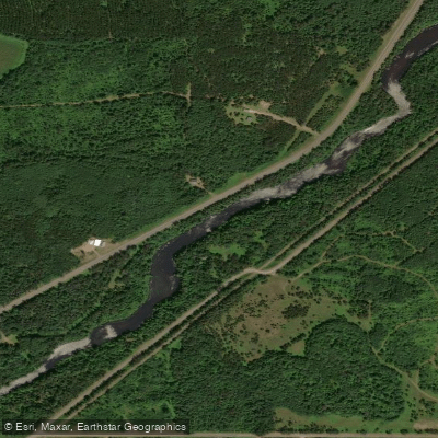
Namekagon River
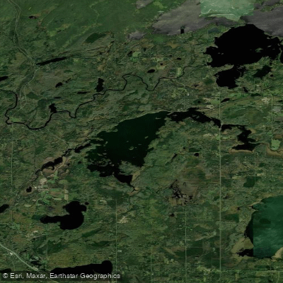
Fish Lake Reservoir
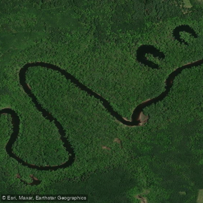
Saint Louis River
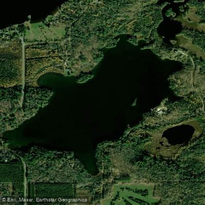
Fredenberg Lake
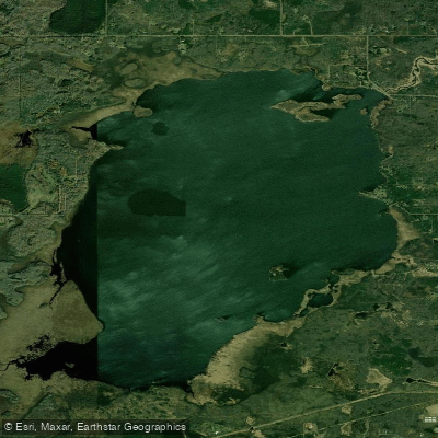
Wild Rice Lake Reservoir
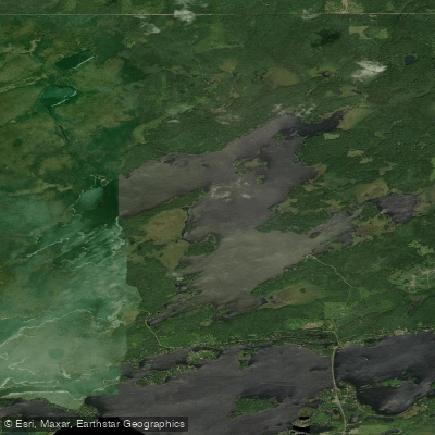
Boulder Lake Reservoir
Explore Minnesota waters
Top paddling waters
Popular Cities
Loading popular cities...
Explore near Cloquet River
Access points
- Cloquet River, Bachelor Rd Public Water Access Site
- Cloquet River, South Loop Road Public Water Access Site
- Cloquet River, Hwy 7 Public Water Access Site
- Cloquet River (S) Public Water Access Site
- Cloquet River, Severson Landing/Bear Lake Road Public Water Access Site
- Cloquet River, Hwy 53 Wayside Rest Public Water Access Site
- Cloquet River Bridge
- Cloquet River Bridge
- Cloquet River Bridge
- Cloquet River Bridge
- Cloquet River Bridge
- Cloquet River Bridge
- All 60 spots
Nearby waters
More in Minnesota

Smarter Paddling Starts in the App.
Paddleways gives you everything you need to plan smarter, paddle better, and own every trip from first launch to takeout.