Fish Lake Reservoir
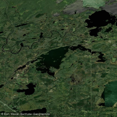
Fish Lake Reservoir
- Boat Ramps
- 2
- Access Points
- 2
- Campsites
- 9
Fish Lake Reservoir in Maple Grove, Minnesota offers 244 acres of water for paddling. The lake features a sandy beach and boat launch operated by Three Rivers Park District. Kayaks, canoes, stand-up paddleboards, and a multi-person paddleboard are available to rent from Memorial Day weekend through Labor Day.
The lake has an average depth of 20.3 feet and a maximum depth of 49 feet. Water quality has improved in recent years, with the lake meeting state standards for phosphorus, chlorophyll A, and water clarity as of 2024. Paddlers can expect relatively clear water, though quality may vary based on conditions.
Fish Lake is subject to surface water regulations set by the city of Maple Grove. All watercraft must travel counterclockwise when speeds exceed 5 mph. A no-wake zone is enforced across the entire lake when water levels are high. Paddlers should be aware of motorized boat traffic, especially on weekends.
The shoreline is a mix of residential properties and wooded areas. Wildlife sightings may include various bird species. Fish Lake is known for walleye, northern pike, bass, and panfish populations, making it popular among anglers.
Facilities include picnic areas, a pavilion, and restrooms. A 3-mile paved trail circles the lake, offering opportunities to combine paddling with hiking or biking. The lake is especially scenic in autumn when maple trees along the shore display vibrant fall colors.
Water temperatures typically allow for comfortable paddling from late spring through early fall, with July and August being the warmest months. Paddlers should exercise caution in early spring and late fall when water temperatures can be dangerously cold.
Water access, boat ramps & amenities
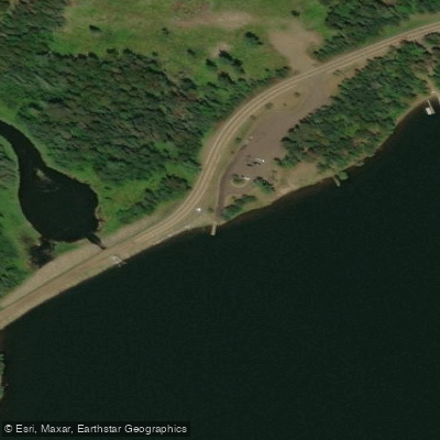
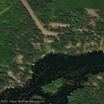
Learn how to get on Fish Lake Reservoir. Uncover great paddling access points, boat ramps, and all the facilities you need for an unforgettable day on the water. Some locations shown may border or include private property. Always check property boundaries and applicable regulations before visiting. PaddleWays's Public & Private Land layer can help you plan your access with confidence.
Paddle smarter with real-time insights
Whether you're en route and conditions shift or you're looking for the best spot based on current flows, we enable you to make informed decisions on the fly.








Find Places to Paddle

Over 400,000 Places to Paddle
Every user gets free access to launch points, boat ramps, and public property parcels.


Water and weather conditions (10 day forecast)
See the best times to paddle Fish Lake Reservoir and check the forecast before you go.
No forecast data available.
Paddling near Fish Lake Reservoir

Lake Superior
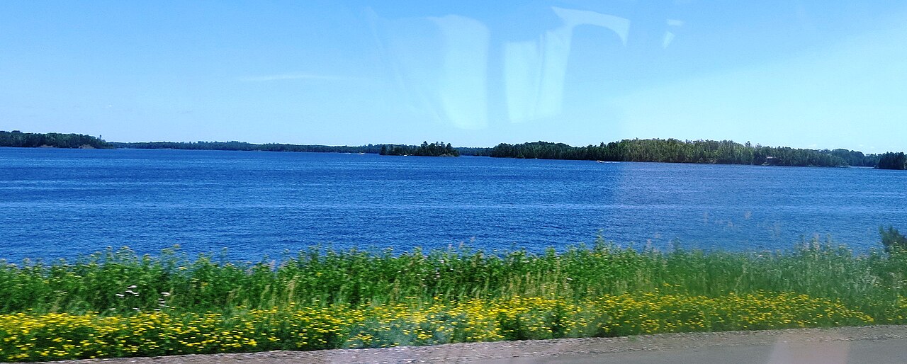
Island Lake Reservoir
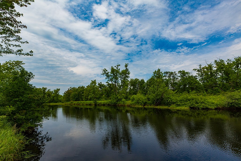
Cloquet River
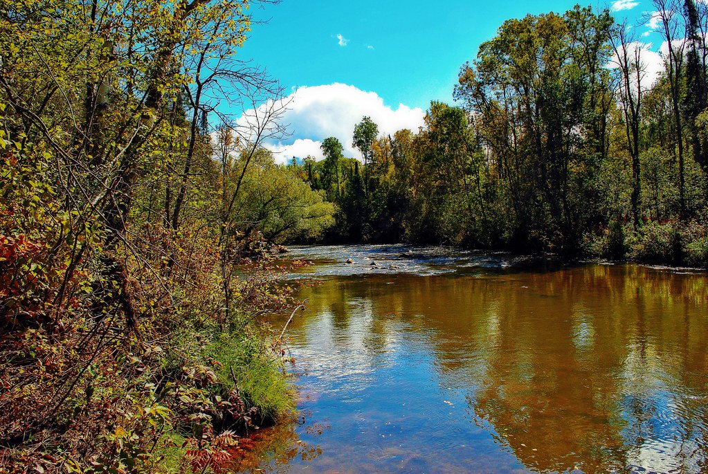
Bois Brule River
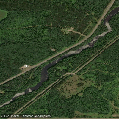
Namekagon River
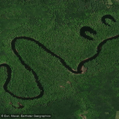
Saint Louis River
Fredenberg Lake
Wild Rice Lake Reservoir
Boulder Lake Reservoir
Explore Minnesota waters
Top paddling waters
Popular Cities
Loading popular cities...
Explore near Fish Lake Reservoir
Access points
Nearby waters
More in Minnesota

Smarter Paddling Starts in the App.
Paddleways gives you everything you need to plan smarter, paddle better, and own every trip from first launch to takeout.