Namekagon River
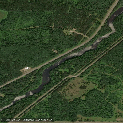
Namekagon River
- Boat Ramps
- 19
- Access Points
- 21
- Campsites
- 21
The Namekagon River is a premier paddling destination in northern Wisconsin, offering a 100-mile journey from its headwaters at Lake Namekagon to its confluence with the St. Croix River. As part of the St. Croix National Scenic Riverway, the Namekagon flows through a pristine landscape of forests, wetlands, and occasional rapids, providing paddlers with an intimate wilderness experience.
The river can be divided into several distinct sections, each with its own character. The upper reaches from Namekagon Dam to Hayward are narrow and intimate, with a steeper gradient and occasional Class I-II rapids, particularly challenging during low water conditions. As the river progresses downstream through Hayward and towards Trego, it widens and slows, offering more relaxed paddling suitable for beginners and families.
The lower sections from Trego to the St. Croix confluence become increasingly rocky with more frequent riffles and Class I rapids. Overall, the Namekagon is suitable for a wide range of skill levels, from novice paddlers to more experienced kayakers seeking a multi-day wilderness adventure. The river's difficulty ranges from Class I to II, with most sections being relatively easy to navigate. However, paddlers should always be prepared for changing conditions and occasional obstacles like fallen trees or beaver dams, especially in the upper reaches.
The best time to paddle the Namekagon is typically from late spring through early fall. Water levels are generally most favorable in May and June, with summer offering warmer temperatures but potentially lower water levels. Fall provides stunning foliage but can bring cooler temperatures and variable water conditions.
Wildlife enthusiasts will appreciate the abundance of flora and fauna along the river. Bald eagles, deer, and various bird species are common sights. The river is also home to native brook trout in its colder upper waters, making it a popular destination for anglers.
Notable landmarks include the Namekagon Dam, Hayward Lake, the Trego Dam (which requires a portage), and various bridges and landings that serve as convenient access points. The Namekagon River Visitor Center in Trego is an excellent resource for trip planning and local information. Towns like Cable, Hayward, and Trego provide access to supplies and services. These communities, along with the river itself, hold significant cultural and historical importance, reflecting the region's logging heritage and Native American history.
Safety is paramount on the Namekagon. All paddlers are required to wear life jackets, and it's essential to be aware of current river conditions, which can change rapidly. Camping is permitted at designated sites along the river, but a free permit is required for overnight trips south of Highway 8. The Namekagon is particularly popular for multi-day canoe and kayak camping trips. A classic route is the 30-mile stretch from County K Landing to Riverside Landing on the St. Croix, which typically takes 2-3 days and offers numerous camping options. For those seeking a more extended adventure, it's possible to paddle the entire 100-mile length of the Namekagon, culminating in a journey down the St. Croix River.
Whether you're looking for a peaceful day float or an immersive multi-day expedition, the Namekagon River offers a quintessential northern Wisconsin paddling experience, combining natural beauty, diverse wildlife, and a sense of wilderness that's increasingly rare in the modern world.
Water access, boat ramps & amenities
Learn how to get on Namekagon River. Uncover great paddling access points, boat ramps, and all the facilities you need for an unforgettable day on the water. Some locations shown may border or include private property. Always check property boundaries and applicable regulations before visiting. PaddleWays's Public & Private Land layer can help you plan your access with confidence.
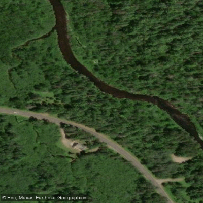
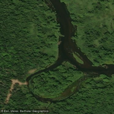
Paddle smarter with real-time insights
Whether you're en route and conditions shift or you're looking for the best spot based on current flows, we enable you to make informed decisions on the fly.








Find Places to Paddle

Over 400,000 Places to Paddle
Every user gets free access to launch points, boat ramps, and public property parcels.


Water and weather conditions (10 day forecast)
See the best times to paddle Namekagon River and check the forecast before you go.
NAMEKAGON RIVER AT LEONARDS, WI
Paddling near Namekagon River
Chippewa River

Lake Superior
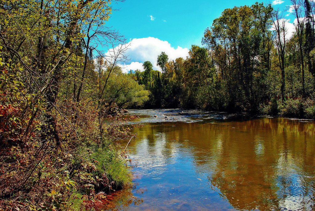
Bois Brule River
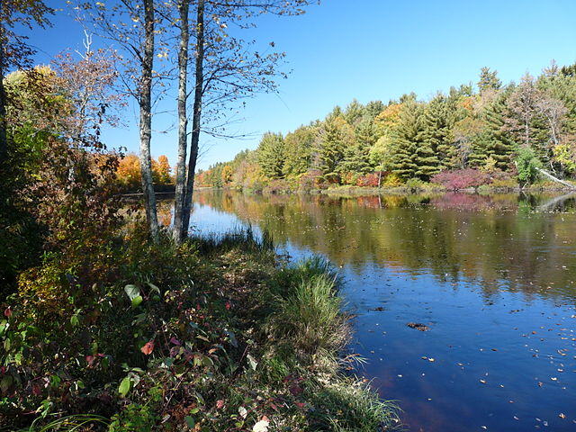
Flambeau River
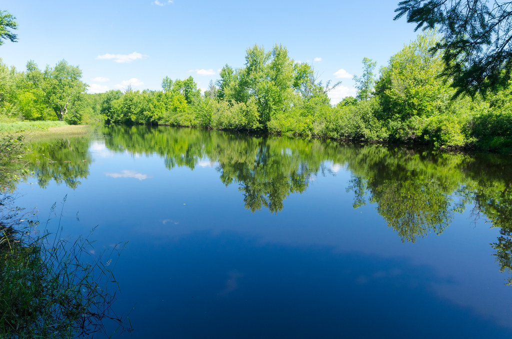
East Fork Chippewa River
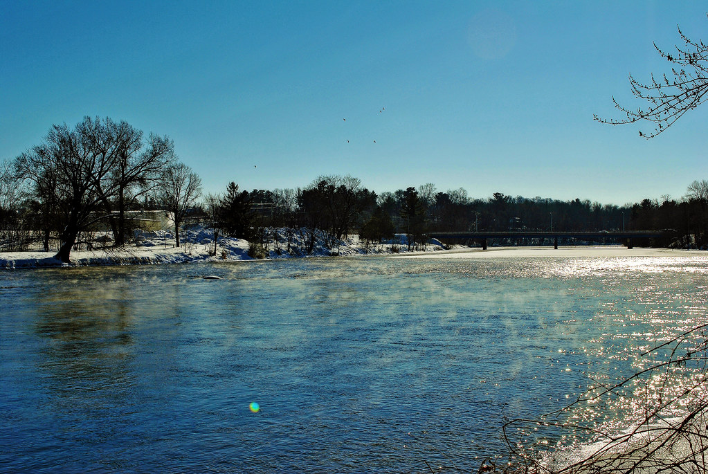
Red Cedar River
Yellow River
Long Lake Branch
Totagatic River
Explore Wisconsin waters
Top paddling waters
Popular Cities
Loading popular cities...
Explore near Namekagon River
Access points
- Earl Park Landing Boat Ramp
- Namekagon River County K Boat Ramp
- Squaw Bend Bridge Boat Ramp
- Stinnett Landing Boat Ramp
- North Springbrook Landing Boat Ramp
- Big Bend Landing Boat Ramp
- Springbrook Landing Boat Ramp
- Highway M Landing Boat Ramp
- Nemakagon River Boat Ramp
- Cable Wayside Boat Ramp
- Phipps Flowage Boat Ramp
- Larsen Bridge Landing Boat Ramp
- All 43 spots
Nearby waters
More in Wisconsin

Smarter Paddling Starts in the App.
Paddleways gives you everything you need to plan smarter, paddle better, and own every trip from first launch to takeout.