Paddling in Mississippi
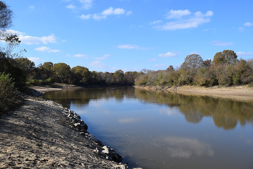
- Lakes
- 1,179
- Rivers
- 4,756
- Access
- 183
- Boat Ramps
- 525
- Shops
- 2
Mississippi is a flatwater and expedition state at heart, with paddling that splits cleanly into three worlds: the piney-woods rivers of the south, the Lower Mississippi wilderness corridor along the Delta, and the tidal bayous and barrier islands of the Gulf Coast.
True whitewater barely registers — if you need Class III, you're driving to Alabama or Georgia. The southern rivers are the everyday core.
Black Creek, the state's only National Wild and Scenic river, runs tea-colored and sand-bottomed through DeSoto National Forest, with Forest Service campgrounds spaced about every ten miles for genuine multi-day trips. Aim for 5.
5 feet and above at the Wiggins gauge; lower than that and you're dragging through sand and stepping over strainers. Take out at Fairley Bridge — the Hwy 26 alternative involves a notorious hundred-yard slog through sucking mud.
Nearby, Okatoma Creek is the one place in Mississippi where the water actually does something: Class I–II mudstone ledges, chutes, and the small drop known as Okatoma Falls along the Seminary-to-Sanford run.
It needs 8 feet to paddle cleanly, and summer weekends are a circus — Okatoma Outdoor Post runs hundreds of boats out of Sanford.
Spring and fall are the right answer here, and on the family-friendly Bogue Chitto, where outfitter floats run March through December.
Up in the Delta, paddling means the Lower Mississippi itself, and the gravitational center is Clarksdale, where Quapaw Canoe Company has been guiding the river in 29-foot hand-built cypress voyageur canoes since 1998.
The reach from Memphis down through Vicksburg to St. Francisville is dam-free, wide, and serious — barge wakes, sudden storms, and stage-driven channel changes that demand either advanced skills or a guide.
What you get in return is sandbar islands the size of small towns, bottomland hardwood forest, and shuttle routes that pass Stovall Plantation, where Muddy Waters lived for a quarter century. The blues isn't a backdrop here; it's part of the trip.
The Pascagoula is its own argument for Mississippi paddling — described in Science as the last unaltered large river system in the lower 48.
It runs free for over 200 miles to the Gulf through 600,000 acres of public land, alligators in the lower reaches, ospreys overhead, cypress giving way to tidal marsh. The annual Paddle Battle in October runs 11.
5 miles from Moss Point to the LaPointe-Krebs House and pulls in a hundred-plus paddlers in anything human-powered. On the coast, Davis Bayou near Ocean Springs is the protected option.
The barrier islands — Horn, Petit Bois, Cat — are 8 to 12 miles offshore, often invisible from the launch, and crossings require GPS, VHF, and the kind of judgment that knows when to turn around.
A Pearl River advisory near Jackson is worth checking before you put in: MDEQ has flagged sewage contamination on that segment, a reminder that even on quiet southern water, the river isn't always the river you remember.
Top waters to paddle near Mississippi
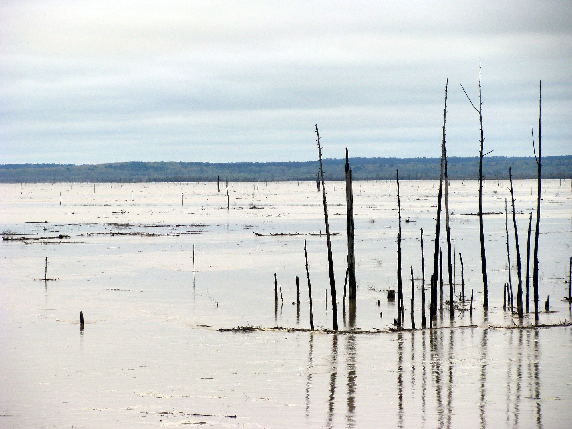
Grenada Lake
Ross R Barnett Reservoir
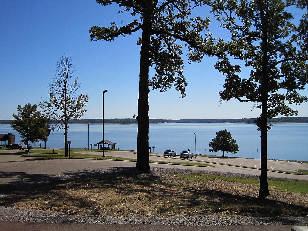
Enid Lake
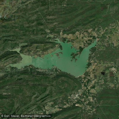
Sardis Lake
Pickwick Lake
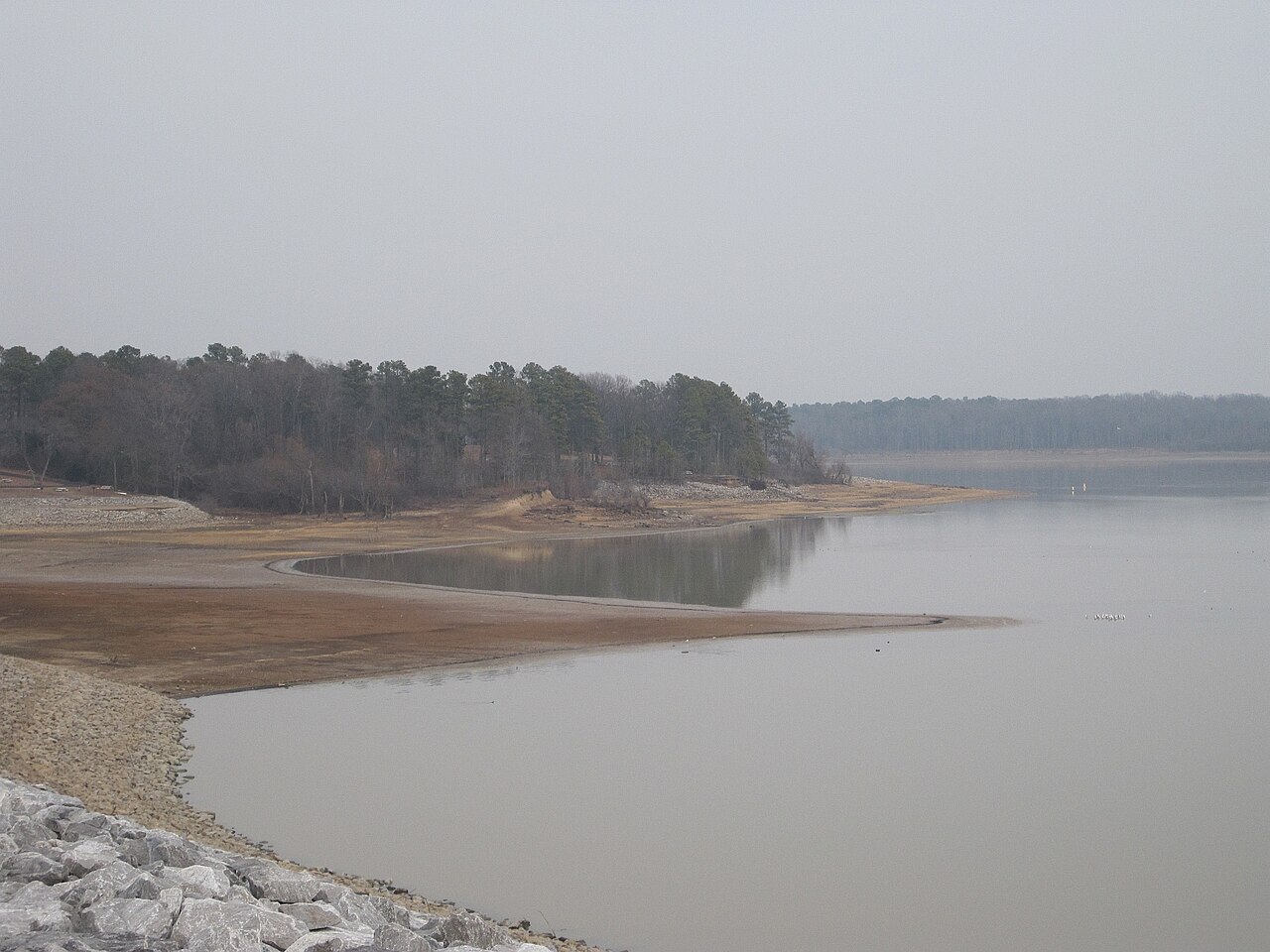
Arkabutla Lake

Mississippi River
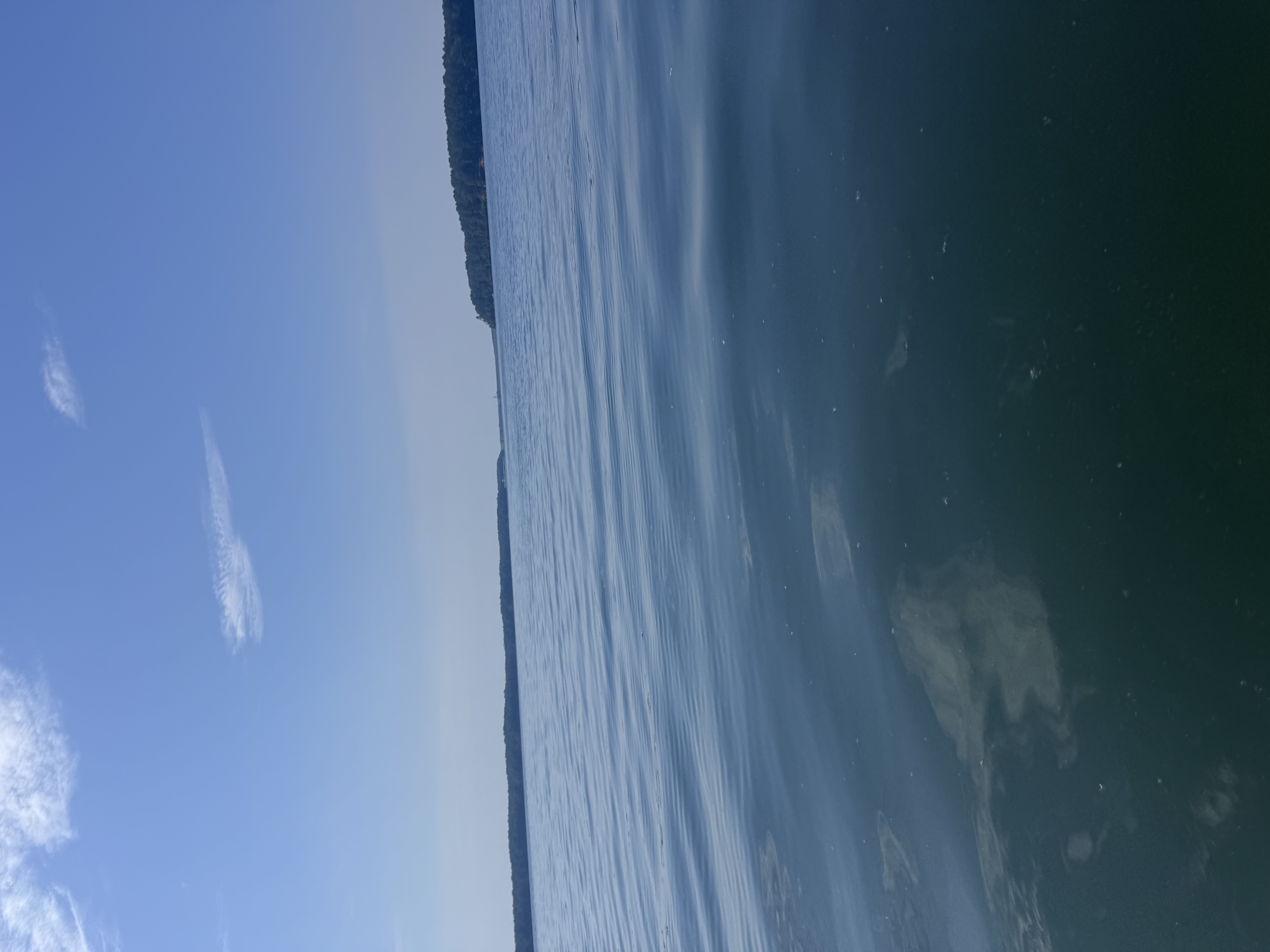
Bay Springs Lake
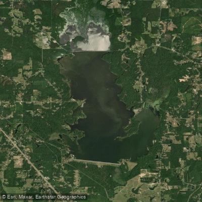
Okatibbee Lake
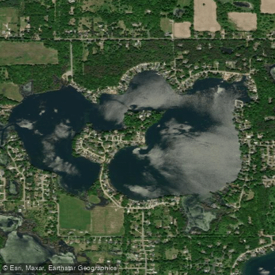
Eagle Lake
Paddle smarter with real-time insights
Whether you're en route and conditions shift or you're looking for the best spot based on current flows, we enable you to make informed decisions on the fly.







Mississippi licenses and regulations
National parks in Mississippi
Explore Mississippi waters
Top paddling waters
Popular Cities
Loading popular cities...

Smarter Paddling Starts in the App.
Paddleways gives you everything you need to plan smarter, paddle better, and own every trip from first launch to takeout.