Sardis Lake
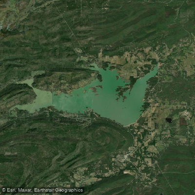
Sardis Lake
- Boat Ramps
- 6
- Access Points
- 12
- Campsites
- 0
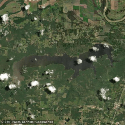
Sardis Lake is a 14,360-acre reservoir located in southeastern Oklahoma, offering 117 miles of shoreline for paddling adventures. Situated at the western tip of the Ouachita Mountain Range, the lake is surrounded by scenic subranges including the Winding Stair Mountains to the north, Potato Hills to the northeast, Kiamichi Mountains to the south, and Jackfork Mountains to the west.
Created in 1980 by damming Jackfork Creek, Sardis Lake provides calm waters ideal for kayaking and paddleboarding. Boat ramps are available at Potato Hills South, Sardis Cove, and The Narrows for easy access. The lake's expansive size allows for uncrowded paddling experiences even during peak seasons.
Wildlife enthusiasts can expect to see waterfowl and birds of prey year-round. The surrounding vegetation offers visual interest in all seasons, with flowering dogwood and redbud in spring, wildflowers in summer, and vibrant fall colors.
Paddlers can take advantage of three campgrounds around the lake, offering amenities such as restrooms, showers, and picnic areas. Some sites provide electrical hookups and large outdoor grills. A swim beach is also available for those looking to cool off after a day on the water.
Fishing is a popular activity, with Sardis Lake known for producing large bass. Other species include crappie, catfish, walleye, and bluegill. Buffalo, Anderson, North Jackfork, and South Jackfork Creeks are noted hotspots for anglers.
While specific paddling routes are not detailed, the lake's numerous coves and inlets provide ample opportunities for exploration. Paddlers should be aware that the lake is also used for other water activities such as boating and water skiing.
For those interested in local history, the lake is named after the town of Sardis, which was submerged during its creation. The surrounding area offers additional points of interest, including Choctaw Nation historical sites.
Water access, boat ramps & amenities
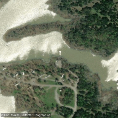
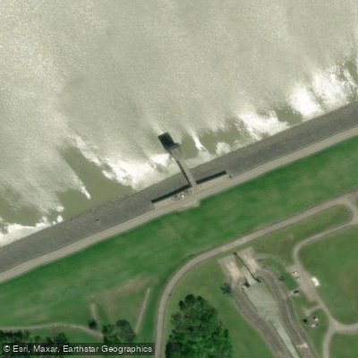
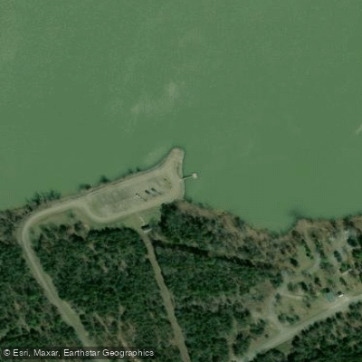
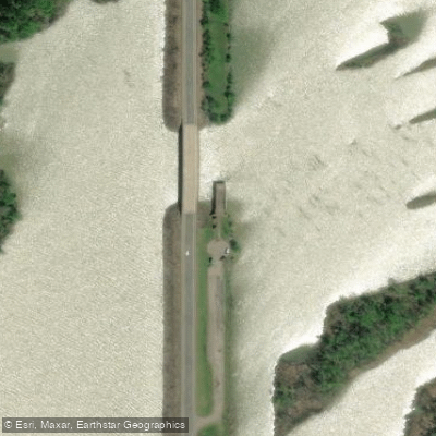
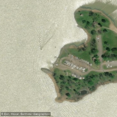
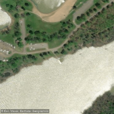
Learn how to get on Sardis Lake. Uncover great paddling access points, boat ramps, and all the facilities you need for an unforgettable day on the water. Some locations shown may border or include private property. Always check property boundaries and applicable regulations before visiting. PaddleWays's Public & Private Land layer can help you plan your access with confidence.
Paddle smarter with real-time insights
Whether you're en route and conditions shift or you're looking for the best spot based on current flows, we enable you to make informed decisions on the fly.








Find Places to Paddle

Over 400,000 Places to Paddle
Every user gets free access to launch points, boat ramps, and public property parcels.


Water and weather conditions (10 day forecast)
See the best times to paddle Sardis Lake and check the forecast before you go.
No forecast data available.
Paddling near Sardis Lake

Red River
Pat Mayse Lake
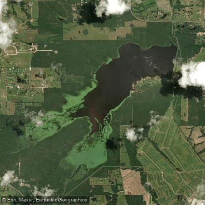
Lake Crook
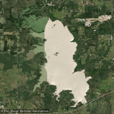
Hugo Lake
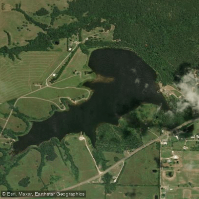
Lake Gibbons
Sulphur River
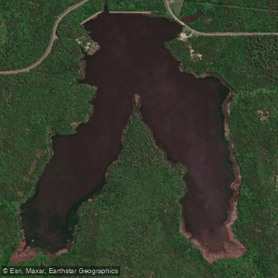
Lake Crockett
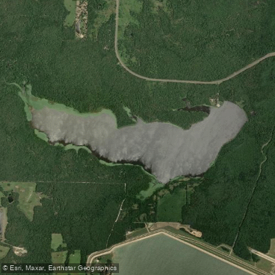
Coffee Mill Lake
South Sulphur River
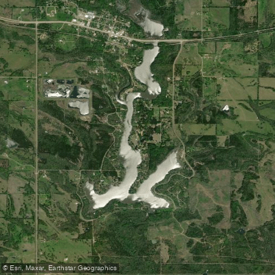
Lake Raymond Gary
Explore Oklahoma waters
Top paddling waters
Popular Cities
Loading popular cities...
Explore near Sardis Lake
Access points
Nearby waters
More in Oklahoma

Smarter Paddling Starts in the App.
Paddleways gives you everything you need to plan smarter, paddle better, and own every trip from first launch to takeout.