Enid Lake
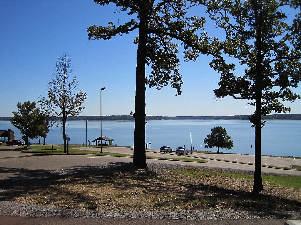
Enid Lake
- Boat Ramps
- 14
- Access Points
- 21
- Campsites
- 16
Enid Lake, located in northern Mississippi, is a 16,000-acre reservoir created by the Enid Dam on the Yocona River. The lake is surrounded by 44,000 acres of forests, offering a scenic paddling experience. Enid Lake is renowned for its fishing, holding the world record for the largest white crappie caught.
There are multiple access points for paddlers, including boat ramps at Wallace Creek, Bean Creek, and Water Valley Landing recreation areas. The U.S. Army Corps of Engineers maintains 15 different recreation areas around the lake, many with picnic facilities, beaches, and playgrounds.
Paddlers should be aware of potential hazards including poison ivy, oak, and sumac along the shoreline, as well as the presence of venomous snakes like rattlesnakes, cottonmouths, and copperheads. Water levels can fluctuate rapidly due to flood control operations, so checking current conditions is advised.
The lake offers diverse paddling opportunities, from exploring quiet coves to crossing open water. Wildlife viewing is a highlight, with opportunities to spot various bird species. Five designated swimming beaches provide spots for breaks or picnics.
Enid Lake typically reaches its summer pool level of 250 feet by May 1st. Water temperatures are most comfortable for paddling in spring and fall. The lake is generally clean and well-maintained, though algal blooms can occur in warmer months.
Facilities for paddlers include restrooms and showers at several campgrounds around the lake. Camping is available at locations like Water Valley Landing and Wallace Creek for those planning multi-day trips.
While primarily known for fishing, Enid Lake's combination of forested shorelines, multiple access points, and ample recreation areas make it an attractive destination for paddlers seeking a scenic lake experience in northern Mississippi.
Water access, boat ramps & amenities
Learn how to get on Enid Lake. Uncover great paddling access points, boat ramps, and all the facilities you need for an unforgettable day on the water. Some locations shown may border or include private property. Always check property boundaries and applicable regulations before visiting. PaddleWays's Public & Private Land layer can help you plan your access with confidence.
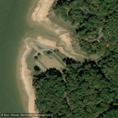
George P Cossar State Park Access
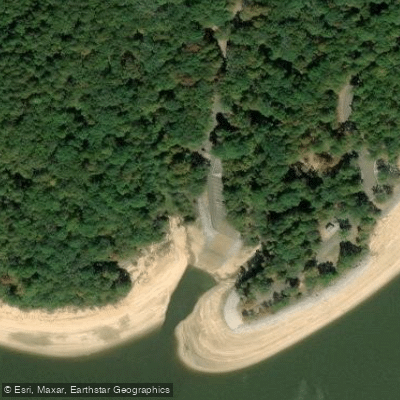
Plum Point Recreation Area Access
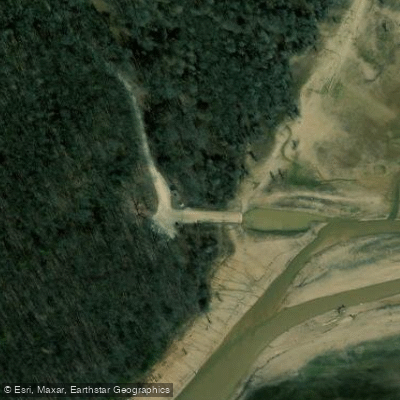
Bynum Creek Recreation Area Access
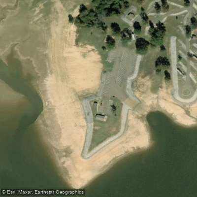
Chickasaw Hill Recreation Area Access
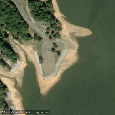
Wallace Recreation Area Access
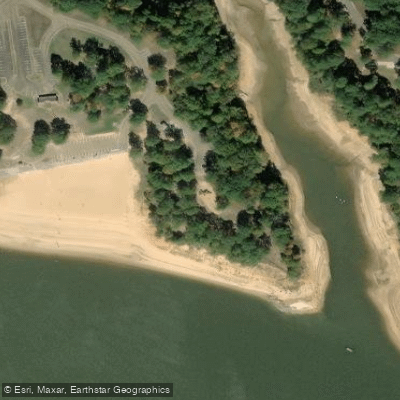
Hickory Ridge Recreation Area Access
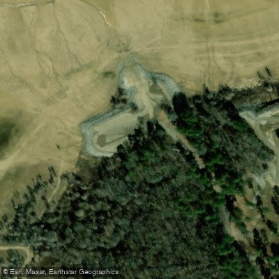
Water Valley Landing Recreation Area Access
Paddle smarter with real-time insights
Whether you're en route and conditions shift or you're looking for the best spot based on current flows, we enable you to make informed decisions on the fly.








Find Places to Paddle

Over 400,000 Places to Paddle
Every user gets free access to launch points, boat ramps, and public property parcels.


Water and weather conditions (10 day forecast)
See the best times to paddle Enid Lake and check the forecast before you go.
No forecast data available.
Paddling near Enid Lake
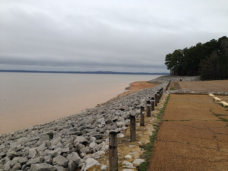
Sardis Lake
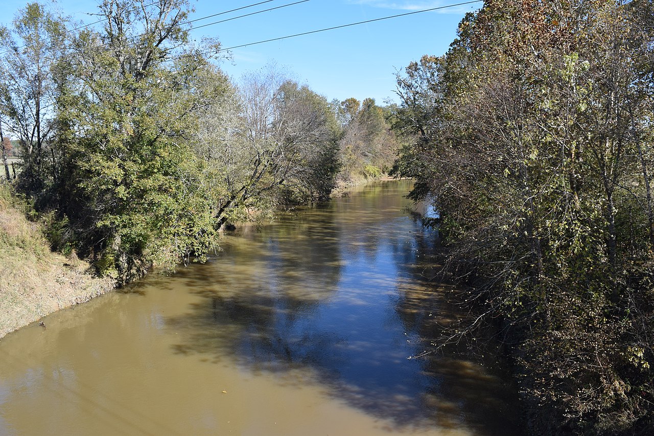
Yocona River
Little Tallahatchie River
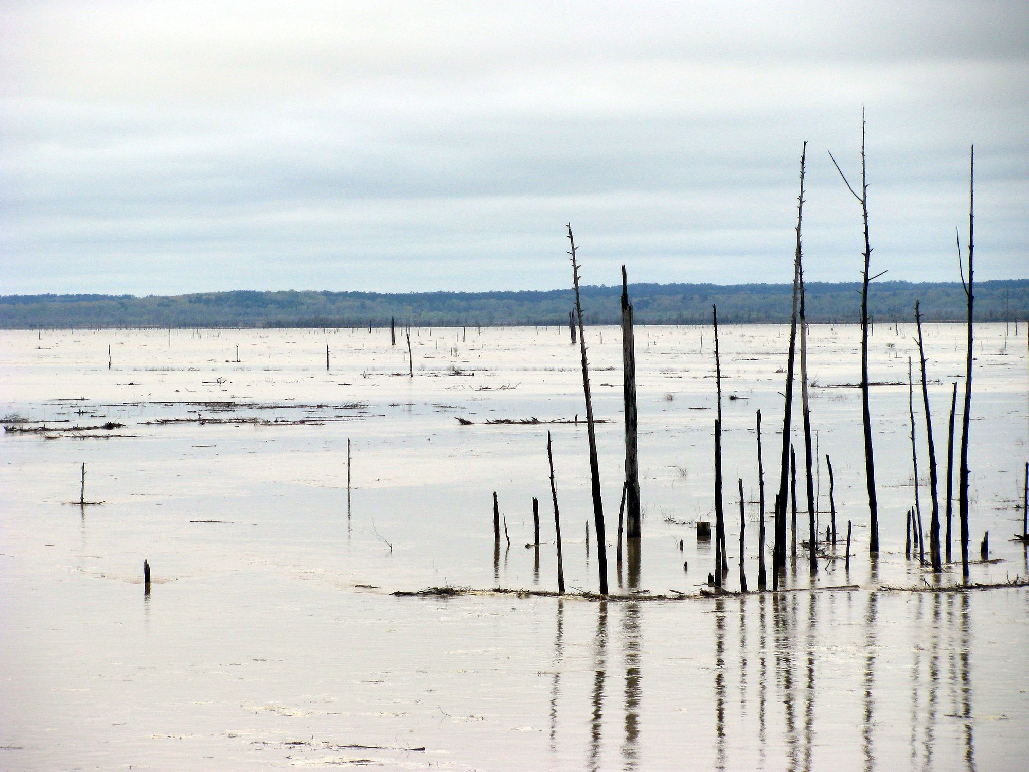
Grenada Lake
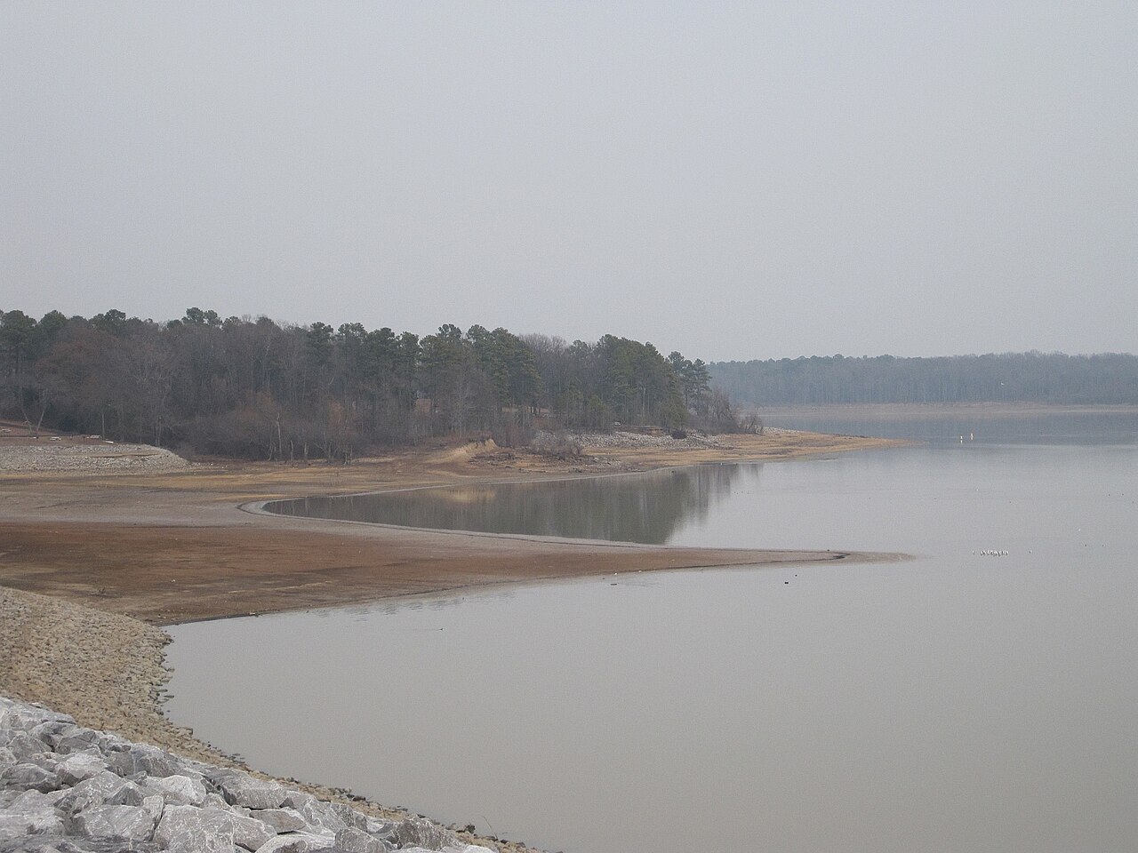
Arkabutla Lake
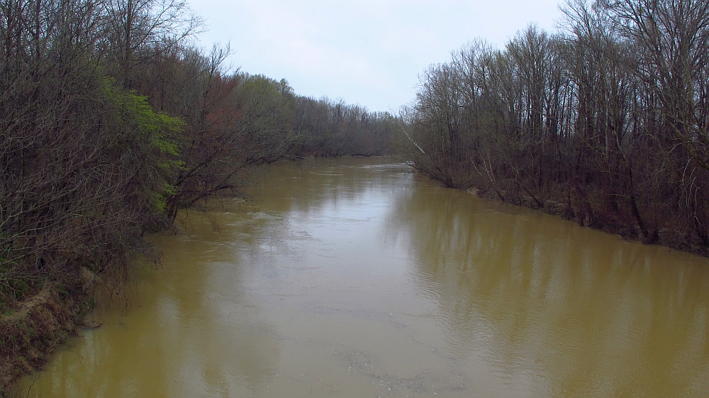
Yalobusha River
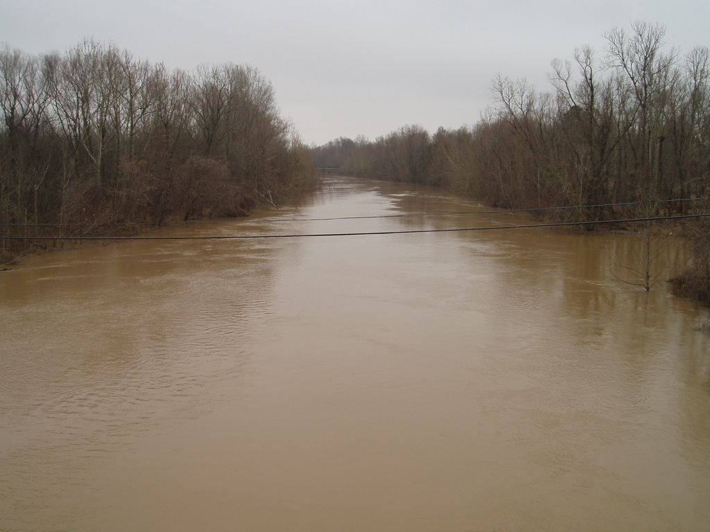
Coldwater River
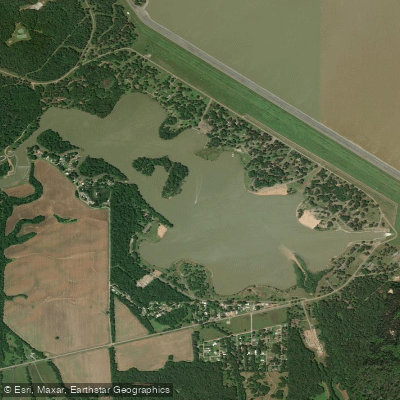
Lower Lake
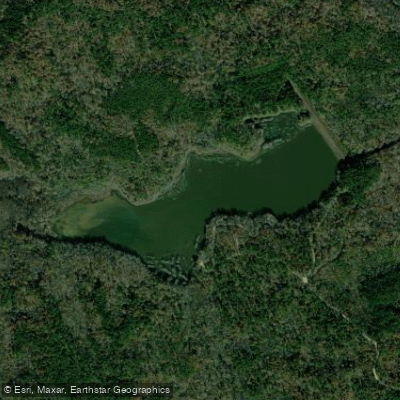
Puskus Lake
Explore Mississippi waters
Top paddling waters
Popular Cities
Loading popular cities...
Explore near Enid Lake
Access points
Nearby waters
More in Mississippi

Smarter Paddling Starts in the App.
Paddleways gives you everything you need to plan smarter, paddle better, and own every trip from first launch to takeout.