Paddling in Gulf Islands National Seashore
- National Seashore
- Lakes
- 1
- Rivers
- 1
- Access
- 1
- Boat Ramps
- 12
- Shops
- 0
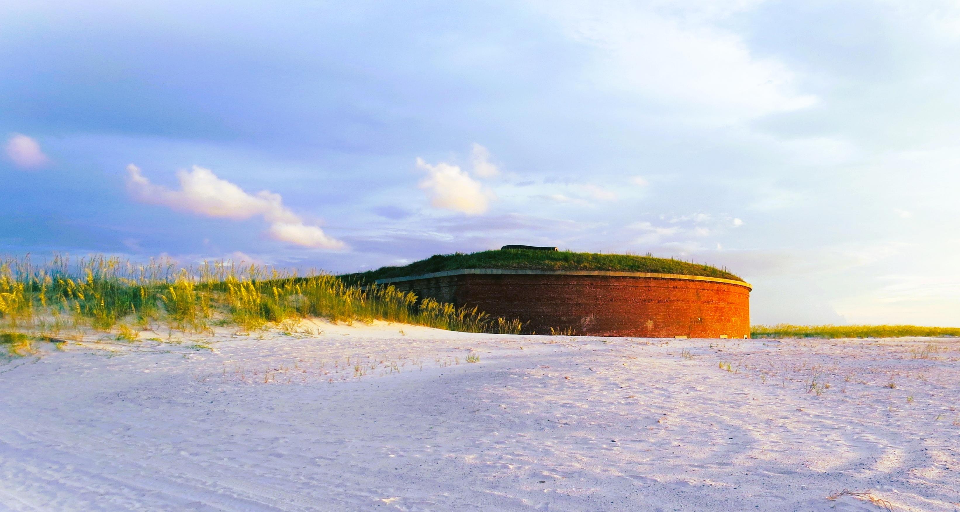
Gulf Islands National Seashore spans the Gulf Coast across two states — a discontinuous chain of barrier islands, bayous, and shallow nearshore waters stretching from Mississippi to the Florida Panhandle.
The paddling here is saltwater paddling: open Gulf crossings, protected bayou channels, and the calm shallows behind barrier island beaches.
Conditions can shift fast, and the distance between units means the two states offer genuinely different experiences on the water.
In Florida, the Fort Pickens and Santa Rosa areas draw paddlers to gently sloping shores and shallow nearshore water that, on calm days, runs blue-green and flat.
These are good conditions for relaxed coastal paddling, but the Gulf is not always cooperative — surf and wind can make the same water unfriendly with little warning. Check conditions before you launch.
Boat ramps in the Florida unit are at Johnson Beach and Okaloosa Beach, with additional access at Perdido Key and Naval Live Oaks.
The Perdido Key area is also the entry point for the Florida Circumnavigational Saltwater Paddling Trail — the Perdido Key Blueway marks the first section of that 1,500-mile route, which can also be accessed from nearby Big Lagoon State Park.
Boat-in camping is permitted at the east end of Perdido Key; there are no facilities, and everything you bring in comes back out with you.
In Mississippi, the Davis Bayou Blueway connects Davis, Stark, and Halstead Bayous — still water paddling through tall grasses, quiet and sheltered. The Davis Bayou boat launch is the put-in.
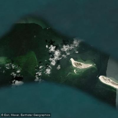
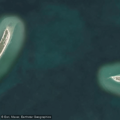
For experienced paddlers willing to commit to a serious open-water crossing, the wilderness islands lie roughly 10 miles offshore. Horn and Petit Bois islands allow boat-in camping; groups of 10 or more require a wilderness camping permit from the park.
That crossing demands honest self-assessment — the Gulf between the mainland and those islands is exposed, and conditions can deteriorate quickly. The park's protected status shapes how you use it. Leave no trace is the baseline at primitive camping areas.
Commercial paddling operations require a Commercial Use Authorization from the park. The wilderness island permit system exists to manage impact on some of the most remote shoreline in the Southeast — treat it accordingly.
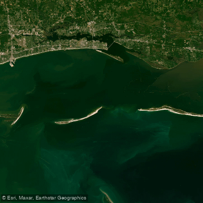
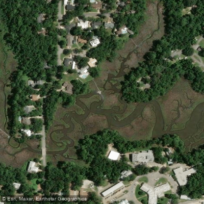
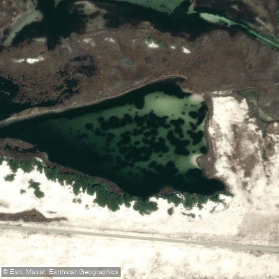
Top waters to paddle near Gulf Islands National Seashore
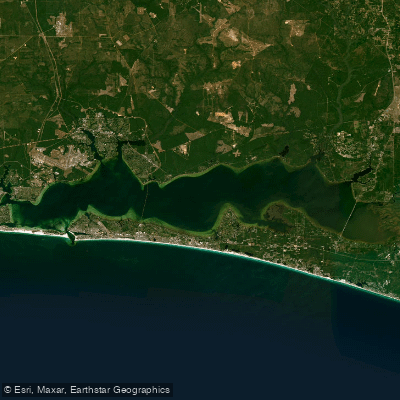
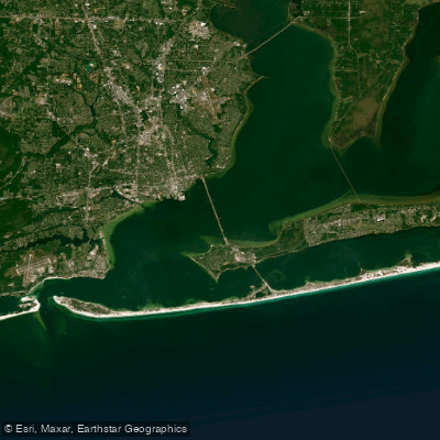
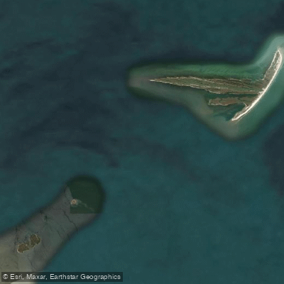
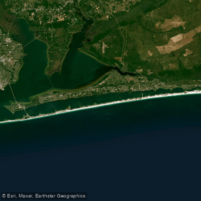
Water and weather conditions (10 day forecast)
See the best times to paddle Gulf Islands National Seashore and check the forecast before you go.
No forecast data available.
Park alerts & road status
Closures and conditions Gulf Islands National Seashore has posted, from the National Park Service.
Checking the park's alerts…
Hours & fees
When Gulf Islands National Seashore is open and what it costs to get in, from the National Park Service.
Hours
The Davis Bayou Area is located south of U. S. Hwy. 90 east of downtown Ocean Springs, Mississippi and offers many recreational opportunities. Visitors can enjoy fishing, hiking, biking, birdwatching, picnicking, kayaking and ranger-led programs. There are no swimming beaches in the Davis Bayou Area. Visitor Center hours are 9 a.m. to 4 p.m. Wednesday - Sunday.
Entrance fees
- Entrance - Private Vehicle$25
- Cost for up to six people in one vehicle. Good for seven days into any fee area in Florida, (Opal Beach, Johnson Beach, Fort Pickens).
- Entrance - Motorcycle$20
- Valid for 7 days. Admits up to 2 private, non-commercial motorcycles with up to 4 total passengers. Fees are required at Fort Pickens Area, Opal Beach Complex Area, and Johnson Beach Area in Florida. Additional fees to ride the ferry.
- Entrance - Per Person$15
- Fees are required at Fort Pickens Area, Opal Beach Complex Area, and Johnson Beach Area in Florida. Additional fees to ride the ferry.
Parking & getting around
Where to leave the car in Gulf Islands National Seashore. Lots fill early on busy days, so plan where you will park before you head for the water.
Battery Worth Parking Lot
This is the main campground overflow parking lot. There are 80 parking spots here and RV spots.
Davis Bayou Boat Launch
This parking lot is for day use only for boat launch users. This parking area can accommodate cars, large vehicles, RVs, and trailers. No overnight parking allowed.
Davis Bayou Visitor Center
Two parking lots are located outside the visitor center that lead to trails or fishing pier. This parking lot is for day use only. This parking area can accommodate cars, large vehicles, RVs, and trailers. No overnight parking allowed.
Fort Pickens Campground Office Parking
Temporary parking for campground office.
Fort Pickens Parking Lot
Passenger and bus parking only. No RV spots. This is the closest parking to the ferry and Florida Trail. This parking lot is for day use only. No overnight parking allowed.
Johnson Beach Parking Lot Main
There are 300 parking spots hear for Johnson Beach. No RV's allowed. This parking lot is for day use only. No overnight parking allowed.
Langdon Beach
There are 60 gulf-side parking spots here. No RV's allowed. This parking lot is for day use only. No overnight parking allowed.
Naval Live Oaks Area Sound Side
This parking lot is for day use only. This parking area can accommodate cars, large vehicles, RVs, and trailers. No overnight parking allowed.
Naval Live Oaks Bayside
This parking lot is for day use only. This parking area can accommodate cars only. No overnight parking allowed.
Okaloosa Area Parking lot
This parking lot is for day use only. This parking area can accommodate cars, large vehicles, and trailers. No overnight parking allowed.
Getting around
Gulf Islands National Seashore is a place of myriad riches - blue-green, sparkling waters, magnificent white beaches, and fertile coastal marshes. Its 13 areas include historic forts, shaded picnic areas, trails, and campgrounds. From Cat Island, Mississippi, it stretches eastward 160 miles tot he Okaloosa Area east of For Walton Beach, Florida.
Directions on nps.govPaddle smarter with real-time insights
Whether you're en route and conditions shift or you're looking for the best spot based on current flows, we enable you to make informed decisions on the fly.







Paddling near Gulf Islands National Seashore
Loading...
Gateway towns
Where to base yourself for paddling in Gulf Islands National Seashore.
Primary Florida base with lodging, rentals, and direct access to Fort Pickens and Santa Rosa Island areas.
Gateway to the Naval Live Oaks area and Fort Pickens Road, with services for the Florida district.
Largest nearby city serving Fort Barrancas on Naval Air Station Pensacola, with fishing charters and full visitor services.
Base for the Mississippi district, near Davis Bayou campground and the park's Mississippi visitor center.
Serves the Okaloosa Area at the eastern end of the seashore, with lodging and water-access outfitters.
Gulf Islands National Seashore paddling rules
The park's own rules, on top of Florida licenses and regulations. Limits, fees and closures change, so check the park's page before you go.

Boat-In Camping Permit Required
Groups of 10 or more campers on Horn or Petit Bois islands must obtain a wilderness camping permit before arriving. Check the park's permits page for how to apply.

Pack Out Everything
Boat-in camping areas have no facilities. You must pack out everything you bring in and practice Leave No Trace ethics.

Check Conditions Before Launching
Gulf waters can change quickly. Always check weather reports and surf conditions before heading out, especially for longer crossings to the offshore wilderness islands.

Personal Watercraft Rules Apply
The park has specific regulations governing where personal watercraft may operate. Check the current rules before launching a PWC in the seashore.
Explore Gulf Islands National Seashore
Top paddling waters
Popular Cities
Loading popular cities...

Smarter Paddling Starts in the App.
Paddleways gives you everything you need to plan smarter, paddle better, and own every trip from first launch to takeout.