Bay Springs Lake
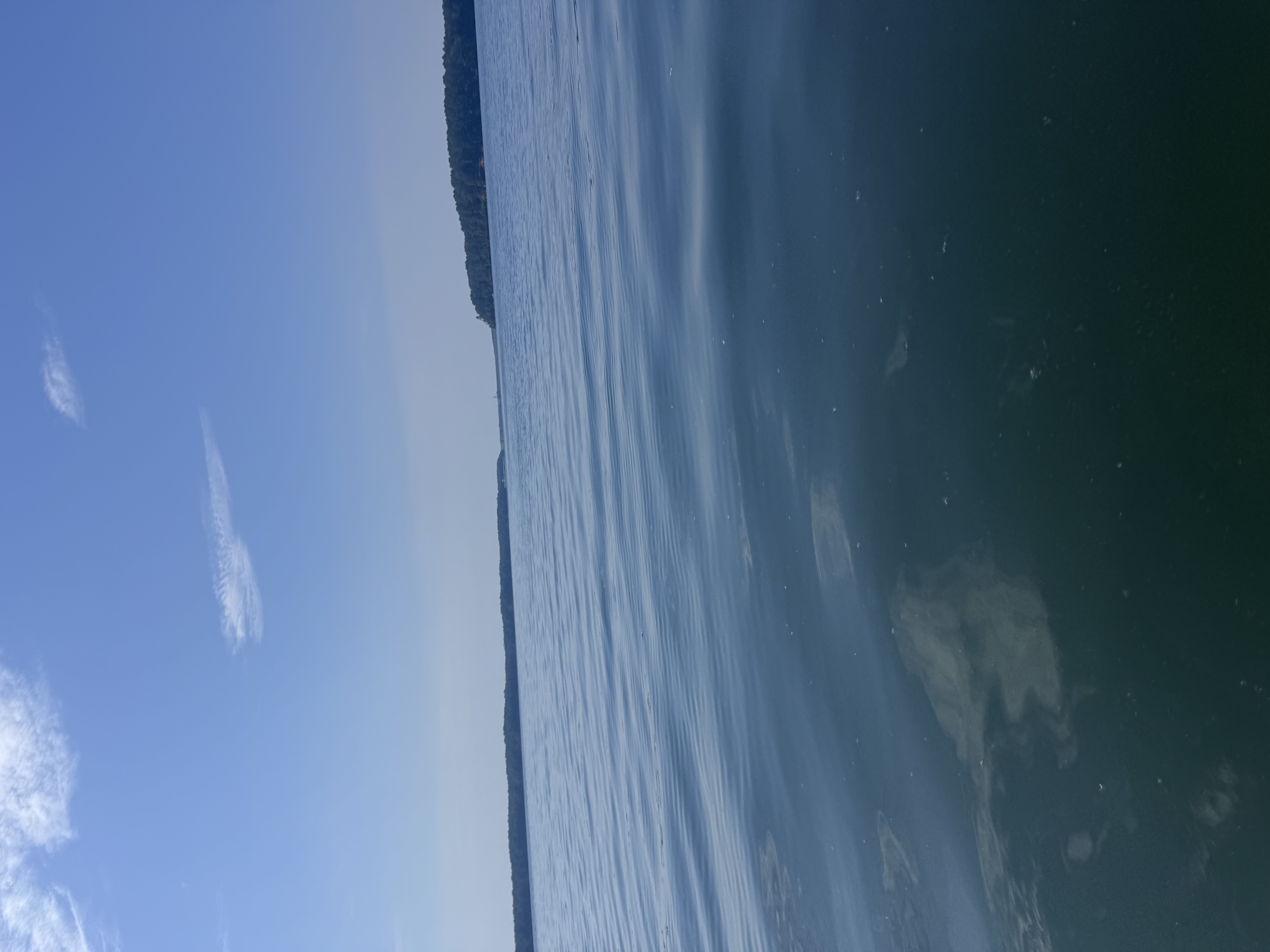
Bay Springs Lake
- Boat Ramps
- 9
- Access Points
- 13
- Campsites
- 4
Bay Springs Lake is a 6,700-acre reservoir located in northeastern Mississippi, serving as the northernmost lake along the Tennessee-Tombigbee Waterway. With a maximum depth of 35 feet and an elevation of 387 feet, it offers paddlers a unique deep-water experience. The lake's normal water clarity is about 3 feet.
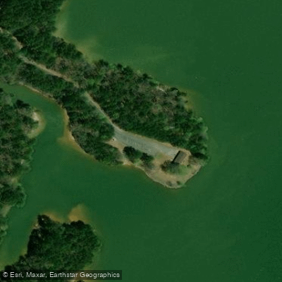
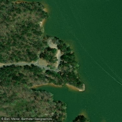
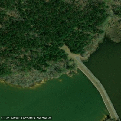
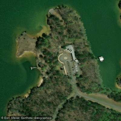
The U.S. Army Corps of Engineers manages six concrete boat ramps with paved parking around the lake, providing multiple access points for paddlers. Three ramps (Crows Neck, McDougal Branch, and Cotton Springs) are on the eastern shore, two (West Damsite and Piney Grove) on the western shore, and one (Scruggs Bridge) on the north shore. Additional launch sites include a concrete ramp with gravel parking at Burnsville city park and two concrete ramps with gravel parking at Bayberry and Gin Branch areas.
Bay Springs Lake is known for its excellent fishing opportunities. Anglers can target largemouth and spotted bass, crappie, and chain pickerel. The lake hosts numerous fishing tournaments from spring through fall, which paddlers should be aware of when planning trips.
The surrounding recreation areas offer scenic views and camping options. Piney Grove Campground on the western shore provides 139 sites with water and electricity hookups. The nearby Tishomingo State Park, accessible via the Natchez Trace Parkway, offers year-round camping, cabins, and canoe rentals for exploring Bear Creek Canyon.
Wildlife enthusiasts may spot various fish species and potentially alligators, though specific wildlife sightings are not guaranteed. The lake's aesthetic is characterized by clear waters and forested shorelines, providing a natural backdrop for paddling adventures.
For those seeking a full-service marina, one is located on the north side of the West Damsite Recreation Area. Paddlers should be aware that Bay Springs Lake can experience busy periods, especially during fishing tournaments and peak summer months.
Water access, boat ramps & amenities
Learn how to get on Bay Springs Lake. Uncover great paddling access points, boat ramps, and all the facilities you need for an unforgettable day on the water. Some locations shown may border or include private property. Always check property boundaries and applicable regulations before visiting. PaddleWays's Public & Private Land layer can help you plan your access with confidence.
Paddle smarter with real-time insights
Whether you're en route and conditions shift or you're looking for the best spot based on current flows, we enable you to make informed decisions on the fly.








Find Places to Paddle

Over 400,000 Places to Paddle
Every user gets free access to launch points, boat ramps, and public property parcels.


Water and weather conditions (10 day forecast)
See the best times to paddle Bay Springs Lake and check the forecast before you go.
TENN-TOM WW BELOW JAMIE WHITTEN L&D NR DENNIS, MS
Paddling near Bay Springs Lake
Tombigbee River
Little Tallahatchie River
Yalobusha River
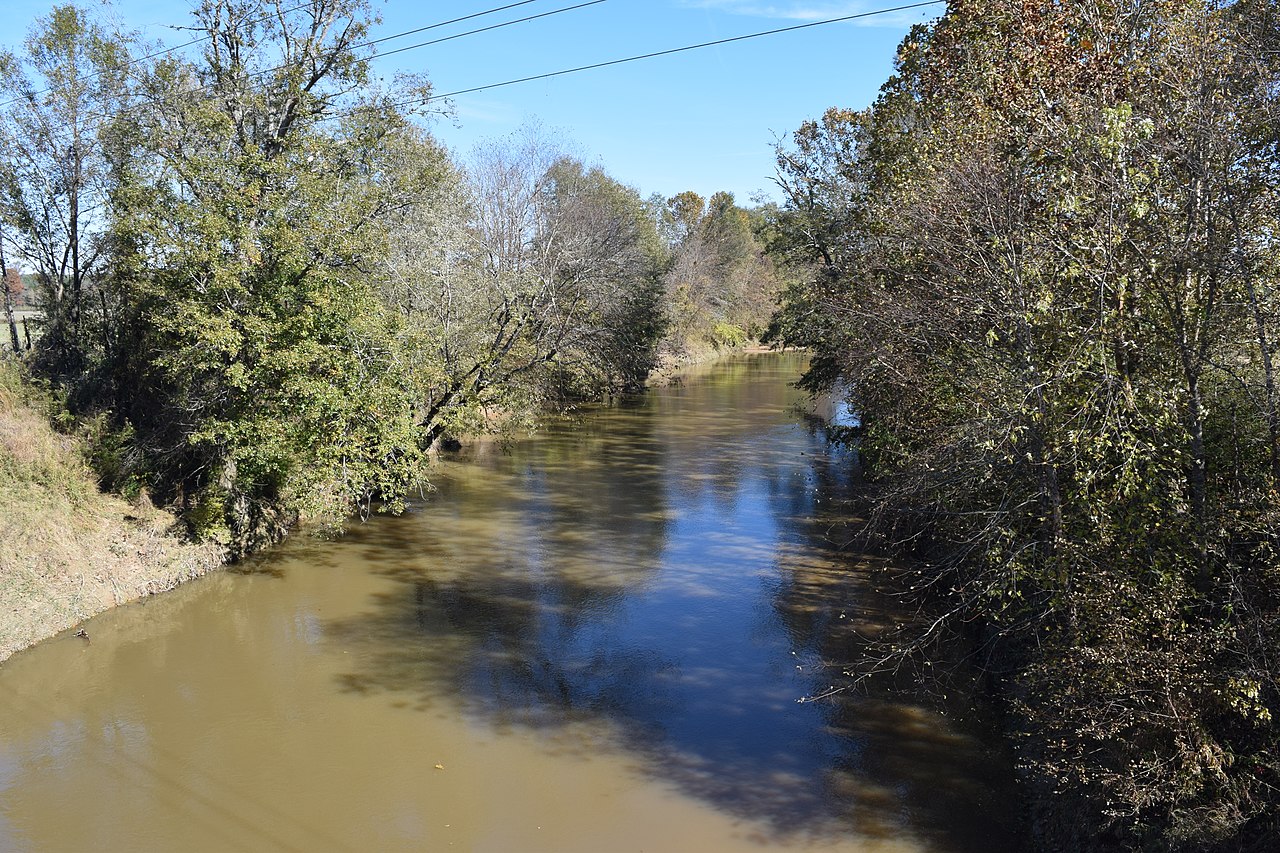
Yocona River
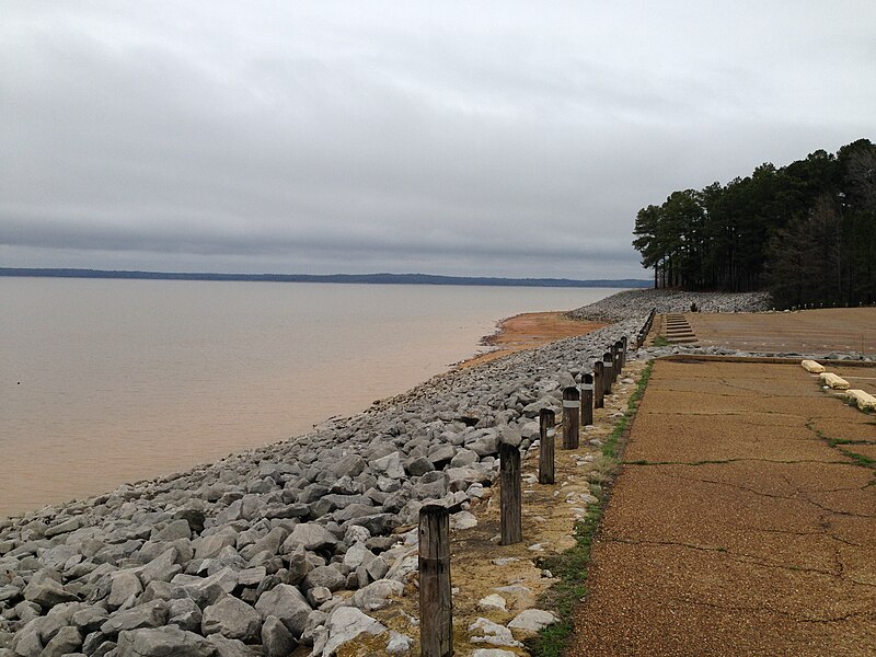
Sardis Lake
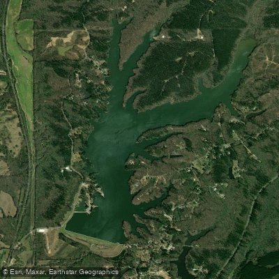
Lake Lamar Bruce
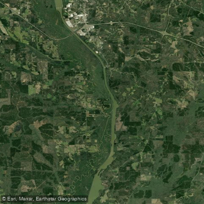
Pool C
Hatchie River
Davis Lake
Explore Mississippi waters
Top paddling waters
Popular Cities
Loading popular cities...
Explore near Bay Springs Lake
Access points
Nearby waters
More in Mississippi

Smarter Paddling Starts in the App.
Paddleways gives you everything you need to plan smarter, paddle better, and own every trip from first launch to takeout.