Okatibbee Lake
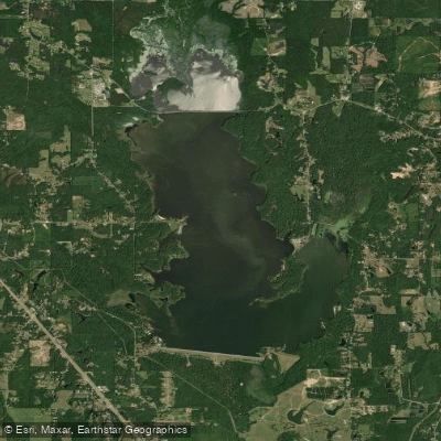
Okatibbee Lake
- Boat Ramps
- 7
- Access Points
- 7
- Campsites
- 2
Okatibbee Lake is an 11,000-acre multipurpose project located 7 miles northwest of Meridian, Mississippi. The lake offers 4,000 acres of water surface for paddling and other water activities. With six boat ramps available, paddlers have multiple access points to launch from. The lake features extensive beaver flowages, stump beds, and old creek channels that provide abundant cover and interesting paddling routes.
Wildlife viewing opportunities abound, with bald eagles and deer frequently spotted around the lake. The surrounding 6,900-acre Okatibbee Wildlife Management Area offers additional natural scenery. Paddlers can explore 28 miles of shoreline, including secluded coves and inlets.
Fishing is popular on Okatibbee Lake, with largemouth bass, striped bass, catfish, crappie, and bream abundant. Anglers may want to try fishing from their paddlecraft around submerged structures.
The U.S. Army Corps of Engineers maintains four day-use parks with three designated swimming areas around the lake. These parks offer amenities like picnic tables, beaches, and restrooms that paddlers can utilize. A full-service marina is also available for those needing supplies or rentals.
When paddling Okatibbee Lake, be aware of other boat traffic and follow all navigation markers and boating regulations. The lake can get busy during peak summer months, so early mornings or weekdays may offer a quieter experience. Fall and spring typically provide pleasant temperatures for paddling.
With its mix of open water and sheltered areas, Okatibbee Lake offers paddling opportunities for various skill levels. The lake's relatively small size makes it possible to explore a significant portion in a single day trip.
Water access, boat ramps & amenities
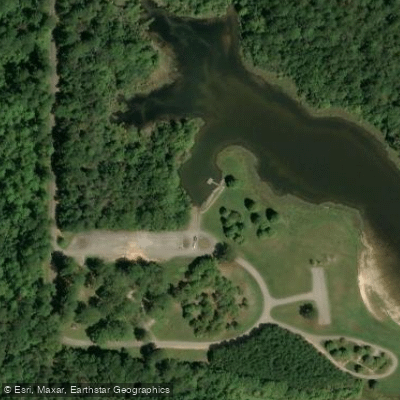
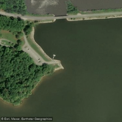
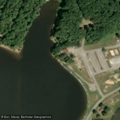
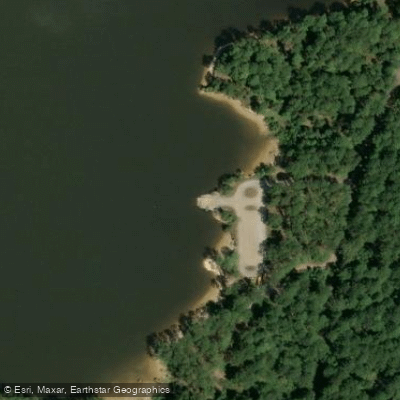
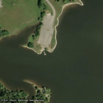
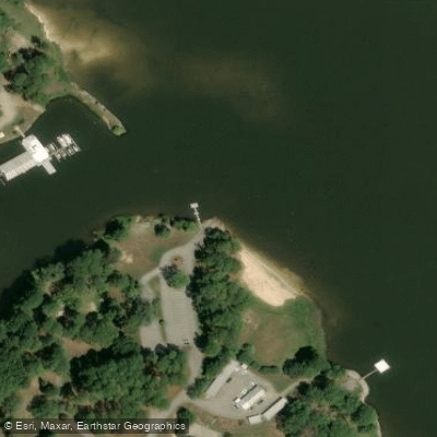
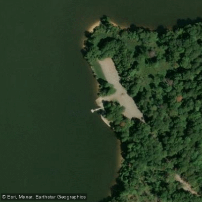
Learn how to get on Okatibbee Lake. Uncover great paddling access points, boat ramps, and all the facilities you need for an unforgettable day on the water. Some locations shown may border or include private property. Always check property boundaries and applicable regulations before visiting. PaddleWays's Public & Private Land layer can help you plan your access with confidence.
Paddle smarter with real-time insights
Whether you're en route and conditions shift or you're looking for the best spot based on current flows, we enable you to make informed decisions on the fly.








Find Places to Paddle

Over 400,000 Places to Paddle
Every user gets free access to launch points, boat ramps, and public property parcels.


Water and weather conditions (10 day forecast)
See the best times to paddle Okatibbee Lake and check the forecast before you go.
No forecast data available.
Paddling near Okatibbee Lake
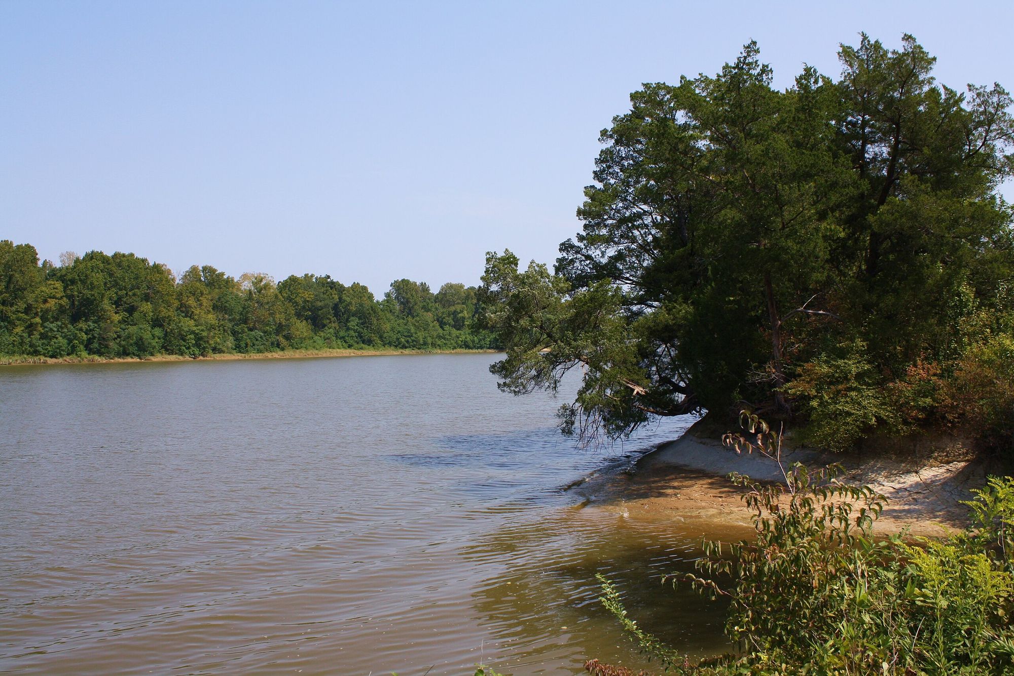
Tombigbee River

Pearl River
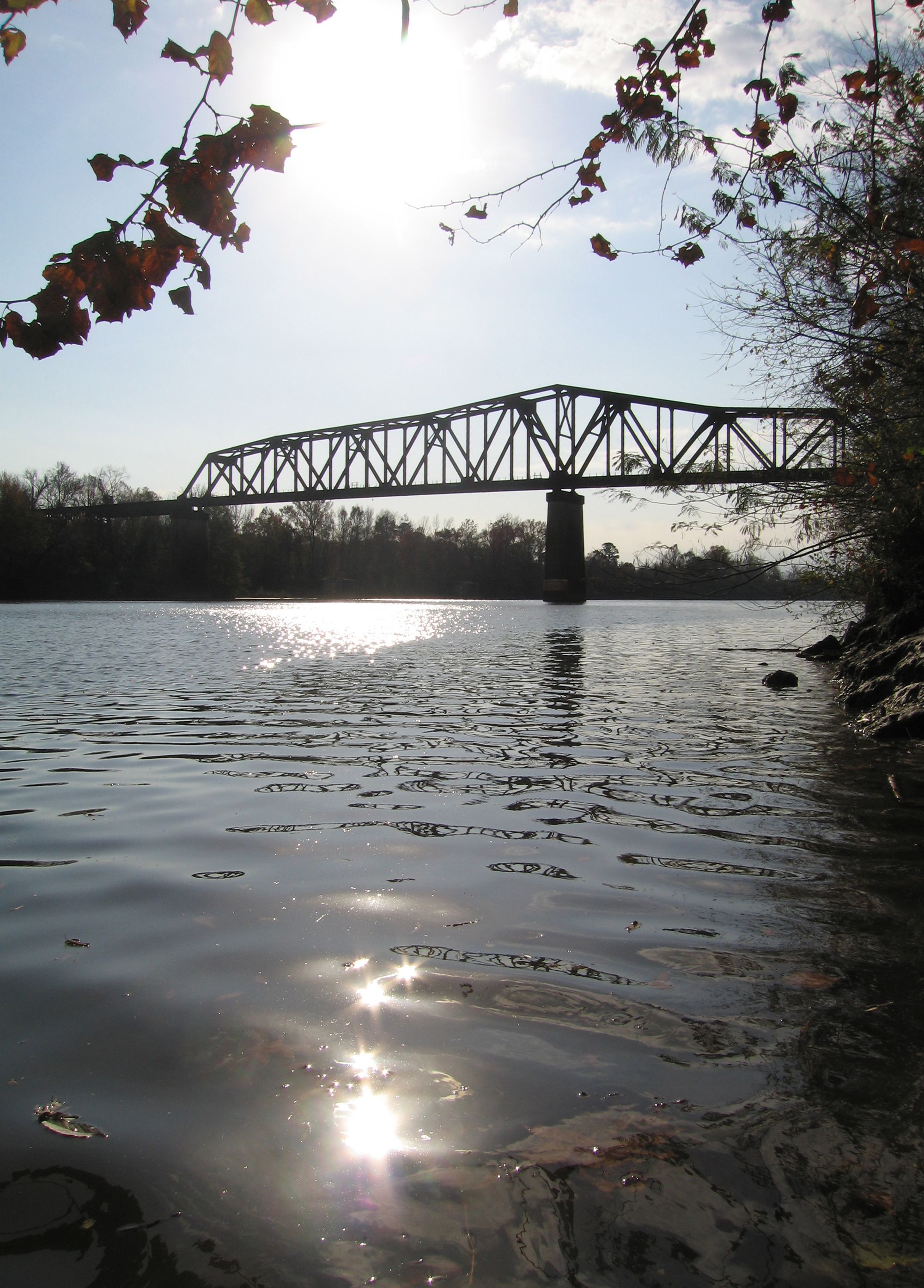
Black Warrior River
Long Creek Reservoir
Chickasawhay River
Okatibbee Creek
Chunky River
Lake Claude Bennett
Demopolis Lake
Explore Mississippi waters
Top paddling waters
Popular Cities
Loading popular cities...
Explore near Okatibbee Lake
Access points
Nearby waters
More in Mississippi

Smarter Paddling Starts in the App.
Paddleways gives you everything you need to plan smarter, paddle better, and own every trip from first launch to takeout.