Grenada Lake
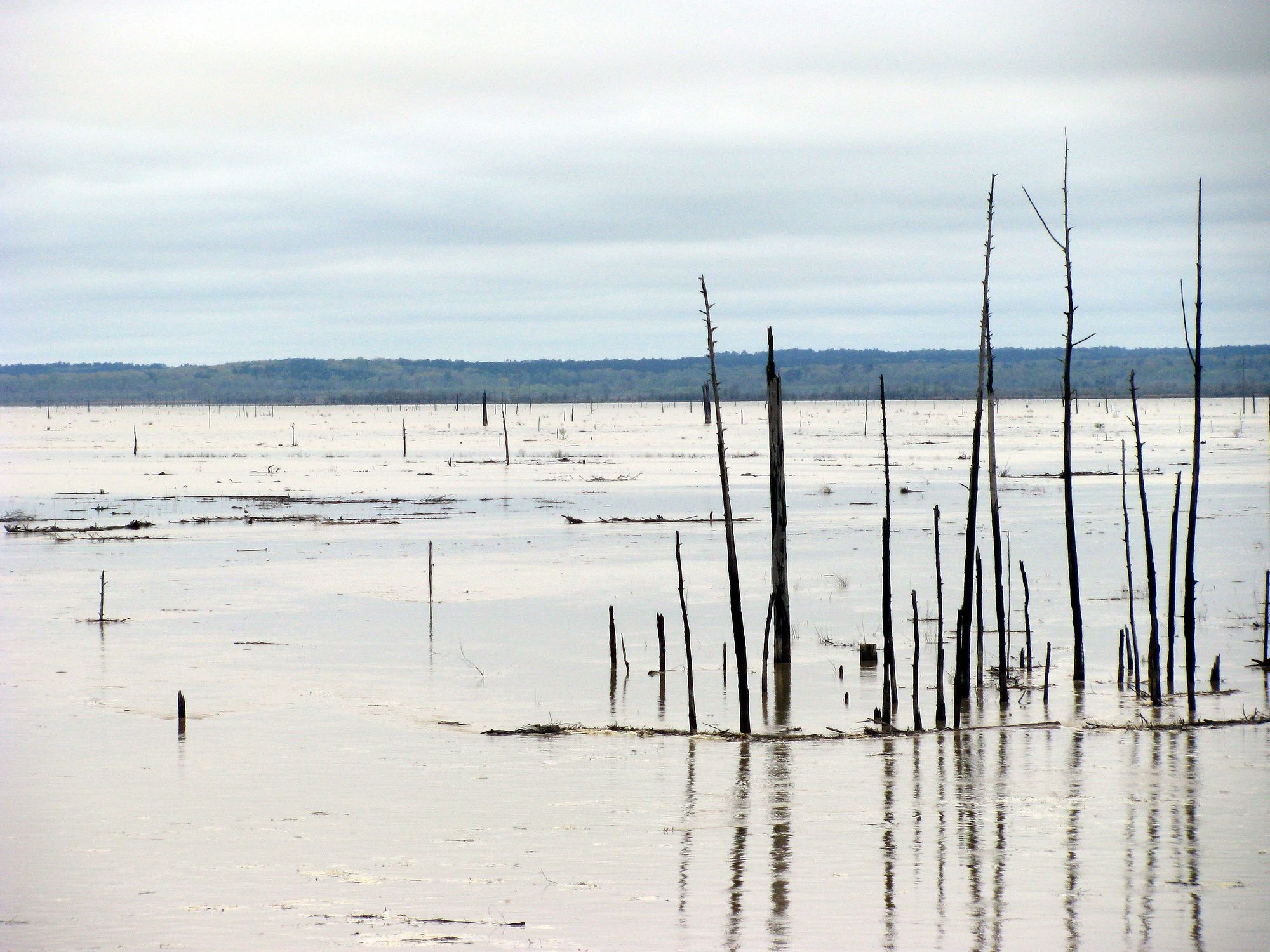
Grenada Lake
- Boat Ramps
- 10
- Access Points
- 12
- Campsites
- 8
Grenada Lake in northern Mississippi offers paddlers a large, scenic reservoir with abundant wildlife and recreational opportunities. Created in 1954 by damming the Yalobusha River, the lake covers over 35,000 acres at full pool. Water levels fluctuate seasonally, with the lake drawn down from July to January. Spring is ideal for paddling, with higher water levels and opportunities to see migratory birds along the Mississippi Flyway. Summer brings hot temperatures, while winter sees significantly lower water levels.
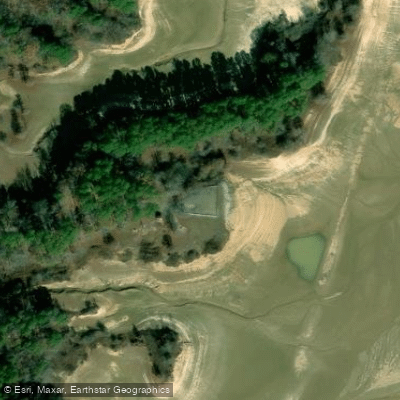
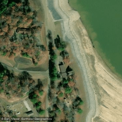
The lake features multiple access points, including boat ramps at South Abutment, Wolf Creek, and Hugh White Landing. Paddlers can explore numerous coves, inlets and flooded timber areas. The Yalobusha River below the dam provides an additional paddling option when lake levels are low.
Wildlife viewing is a highlight, with chances to spot alligators, deer, beavers, and various bird species including eagles and herons. Bottomland hardwood forests and cypress-tupelo swamps line portions of the shoreline. Fishing is extremely popular, with the lake known for trophy crappie.
Facilities for paddlers include beaches at Grenada Landing, Cape Retreat, and other day-use areas. Picnic areas and campgrounds are available around the lake. The Grenada Lake Visitor Center offers exhibits on the lake's history and ecology.
Paddlers should be aware of potential hazards from submerged stumps and standing timber, especially as water levels change. Weather conditions can create choppy waters on the main lake. Boaters must have proper permits and observe regulations regarding hunting areas.
Water access, boat ramps & amenities
Learn how to get on Grenada Lake. Uncover great paddling access points, boat ramps, and all the facilities you need for an unforgettable day on the water. Some locations shown may border or include private property. Always check property boundaries and applicable regulations before visiting. PaddleWays's Public & Private Land layer can help you plan your access with confidence.
Paddle smarter with real-time insights
Whether you're en route and conditions shift or you're looking for the best spot based on current flows, we enable you to make informed decisions on the fly.








Find Places to Paddle

Over 400,000 Places to Paddle
Every user gets free access to launch points, boat ramps, and public property parcels.


Water and weather conditions (10 day forecast)
See the best times to paddle Grenada Lake and check the forecast before you go.
No forecast data available.
Paddling near Grenada Lake
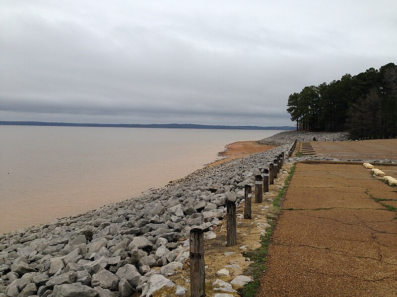
Sardis Lake
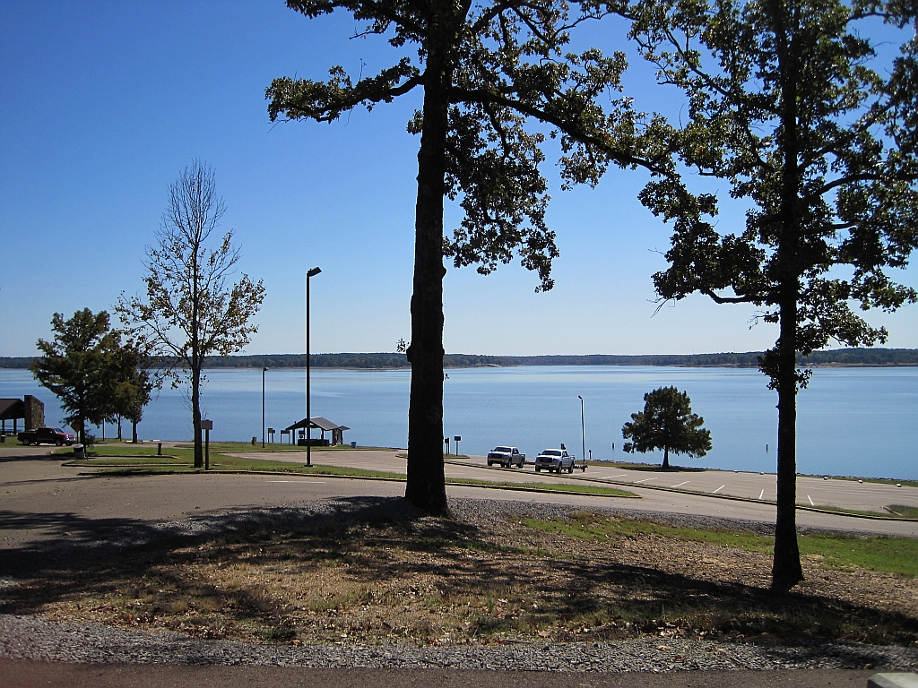
Enid Lake
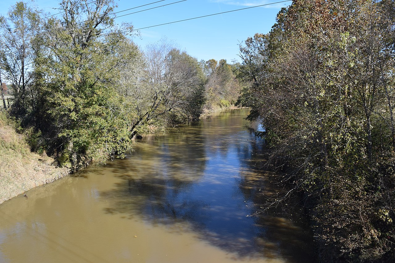
Yocona River
Little Tallahatchie River
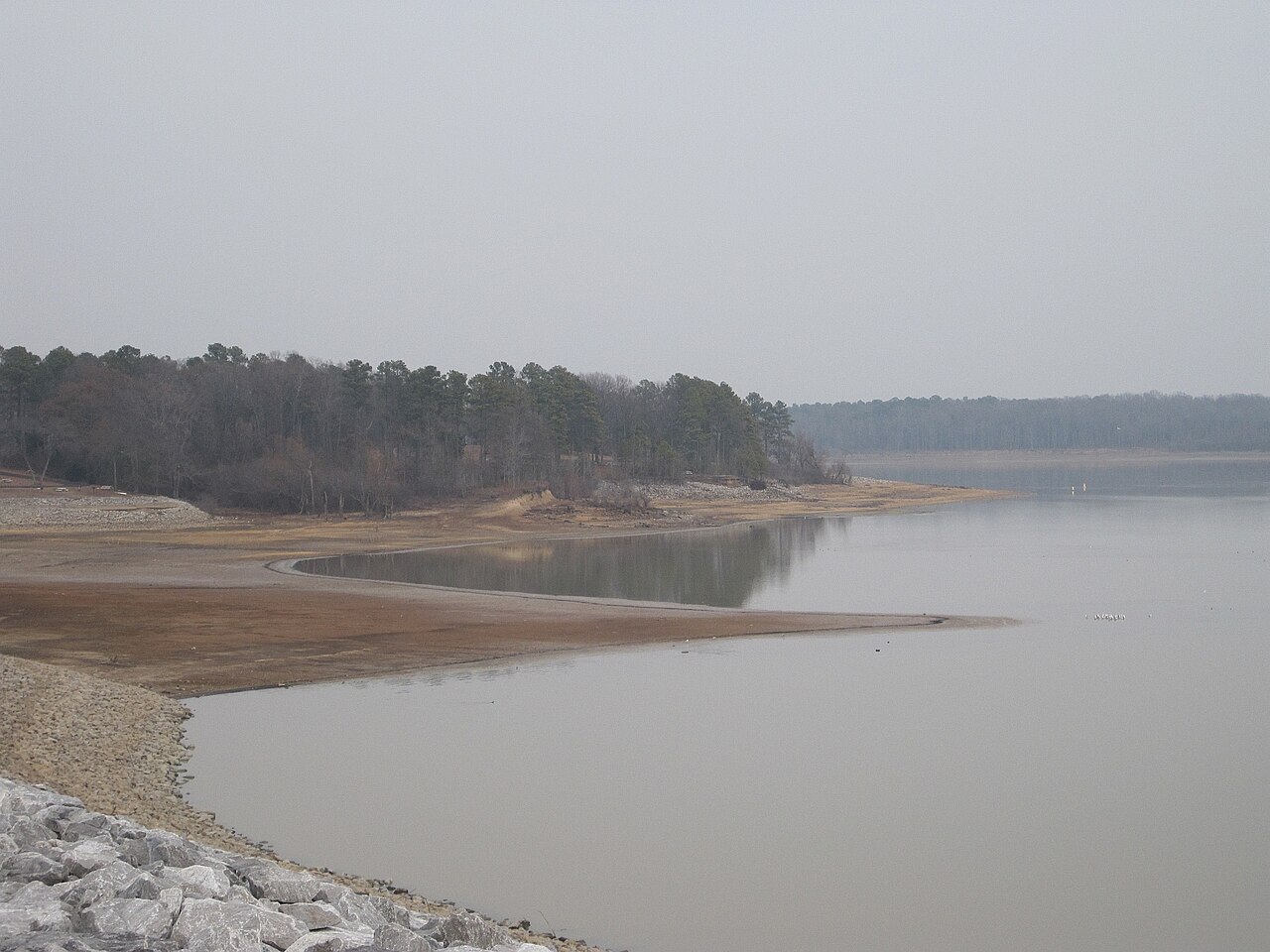
Arkabutla Lake
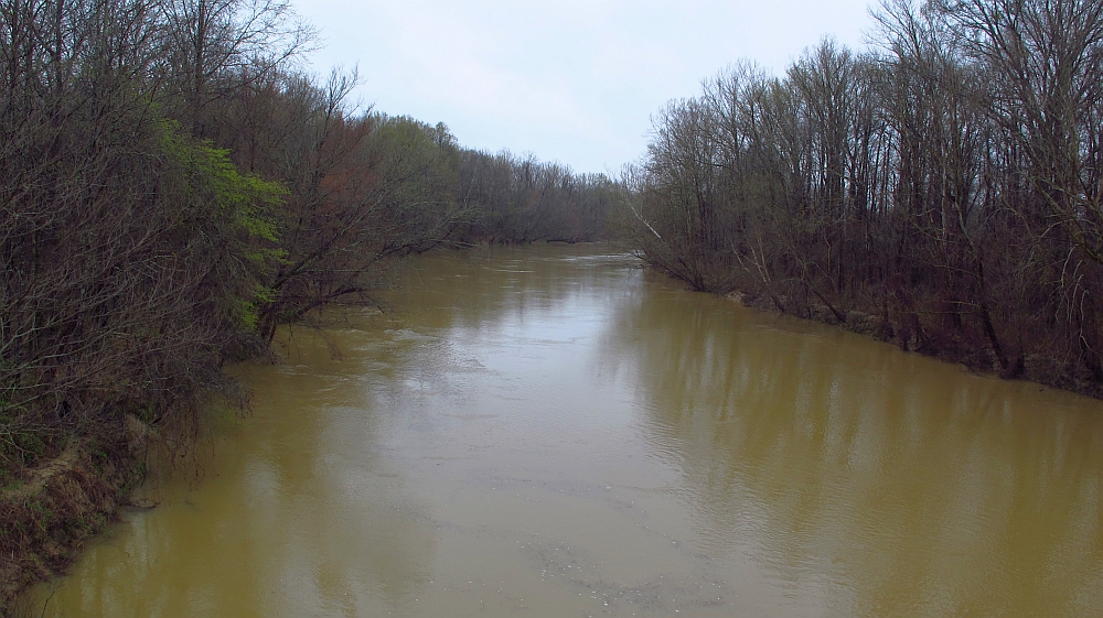
Yalobusha River
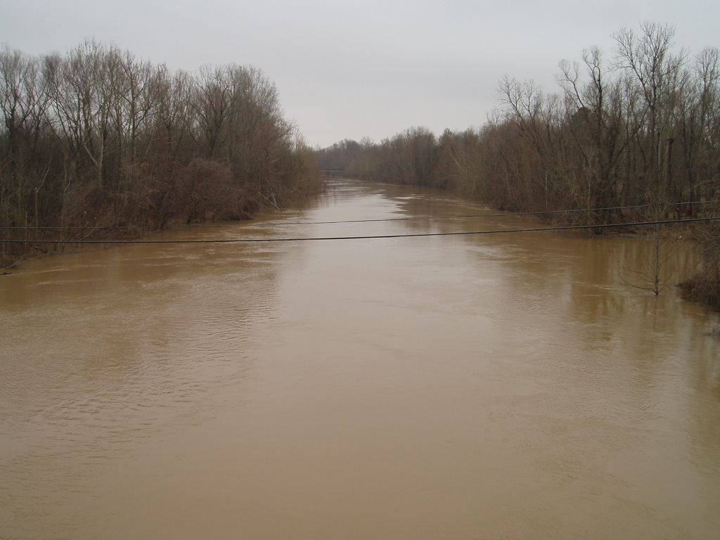
Coldwater River
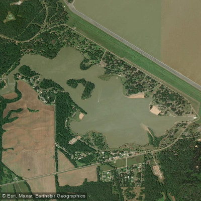
Lower Lake
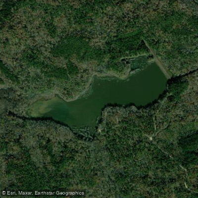
Puskus Lake
Explore Mississippi waters
Top paddling waters
Popular Cities
Loading popular cities...
Explore near Grenada Lake
Access points
Nearby waters
More in Mississippi

Smarter Paddling Starts in the App.
Paddleways gives you everything you need to plan smarter, paddle better, and own every trip from first launch to takeout.