Alton Slough
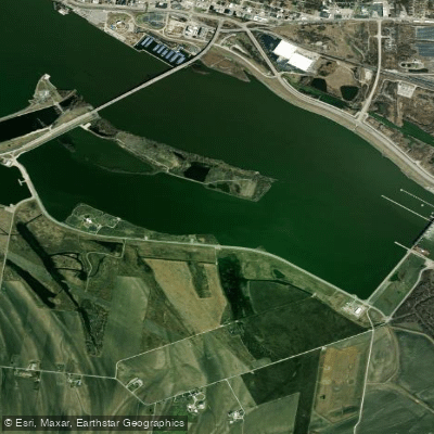
Alton Slough
- Boat Ramps
- 0
- Access Points
- 0
- Campsites
- 0
Alton Slough is a shallow backwater area located near the confluence of the Mississippi and Missouri Rivers. The slough provides access to the Mississippi River but requires careful navigation due to its extremely shallow depth - paddlers may occasionally need to walk their boats through particularly low sections. The primary access point is near the Melvin Price Lock and Dam.
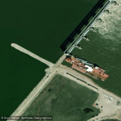
This is an active commercial waterway area requiring heightened safety awareness. Paddlers must wear high-visibility clothing and exercise extreme caution around barges and other large vessel traffic. The area near the lock and dam demands particular attention - paddlers should maintain at least 3,000 feet distance from this structure.
The slough offers both protected water for practice and access to more challenging conditions on the main Mississippi channel. Notable landmarks visible from the water include the Highway 67 bridge connecting Missouri and Illinois, the Melvin Price Lock and Dam, the Alton riverfront, and the Harbor Point Yacht Club. Wildlife hazards include Asian Carp, which may jump when startled by paddle noise.
Most paddle routes either explore the protected slough waters or use it as a launching point for longer trips on the Mississippi River. One documented route runs approximately 24 miles from Pere Marquette State Park back to the slough. The area serves as both a put-in and take-out point for various Mississippi River paddling adventures.
The slough is approximately 110 acres in size. It's part of a broader river system that includes the Riverlands Migratory Bird Sanctuary, though the sanctuary itself is a closed refuge with no paddling access. Water conditions can vary significantly based on Mississippi River levels, making local knowledge and current conditions essential for safe paddling.
Water access, boat ramps & amenities
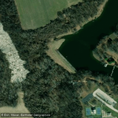
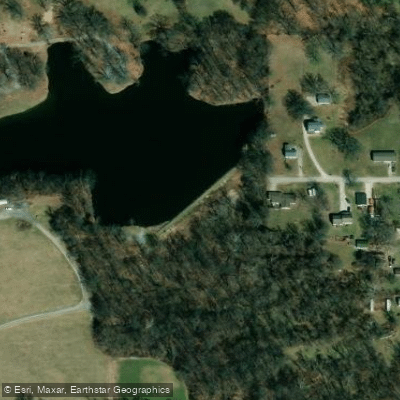
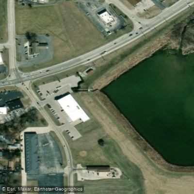
Learn how to get on Alton Slough. Uncover great paddling access points, boat ramps, and all the facilities you need for an unforgettable day on the water. Some locations shown may border or include private property. Always check property boundaries and applicable regulations before visiting. PaddleWays's Public & Private Land layer can help you plan your access with confidence.
Paddle smarter with real-time insights
Whether you're en route and conditions shift or you're looking for the best spot based on current flows, we enable you to make informed decisions on the fly.








Find Places to Paddle

Over 400,000 Places to Paddle
Every user gets free access to launch points, boat ramps, and public property parcels.


Water and weather conditions (10 day forecast)
See the best times to paddle Alton Slough and check the forecast before you go.
No forecast data available.
Paddling near Alton Slough

Mississippi River

Missouri River
Illinois River
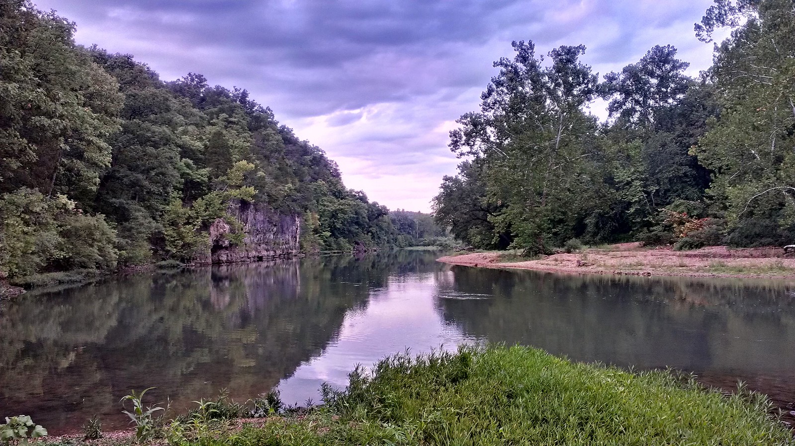
Meramec River
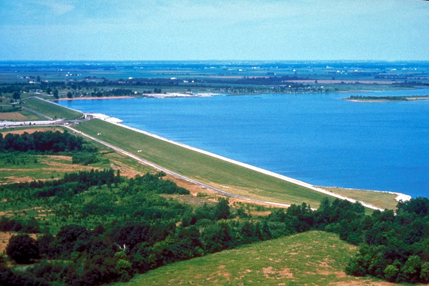
Carlyle Lake
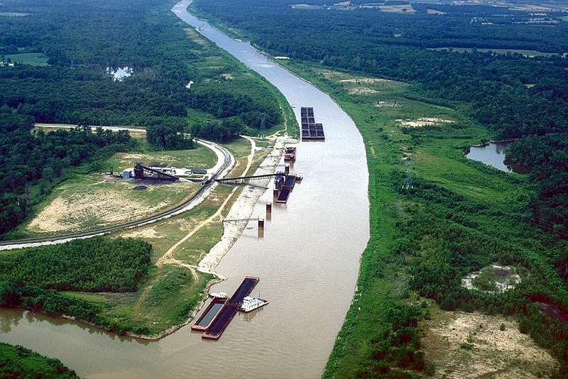
Kaskaskia River
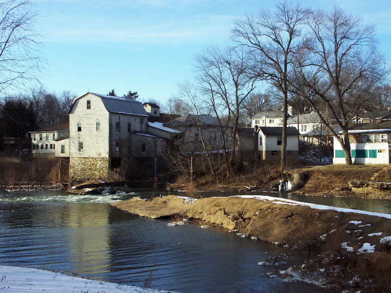
Big River
Creve Coeur Lake
Horseshoe Lake
Explore Missouri waters
Top paddling waters
Popular Cities
Loading popular cities...
Explore near Alton Slough
Access points
Nearby waters
More in Missouri

Smarter Paddling Starts in the App.
Paddleways gives you everything you need to plan smarter, paddle better, and own every trip from first launch to takeout.