Lake of the Ozarks in Missouri offers excellent kayaking opportunities. The lake features an Aquatic Trail that is particularly well-suited for paddlers, as it is largely limited to non-motorized boats. This trail spans just over 6 miles and typically takes 2-3 hours to paddle.
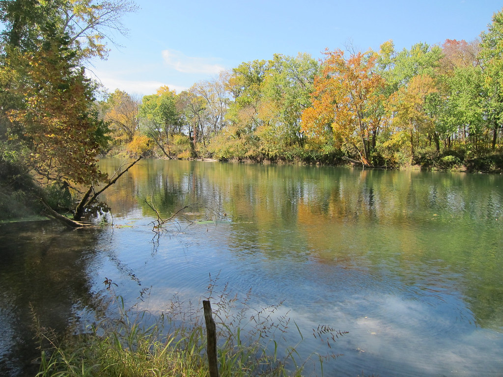
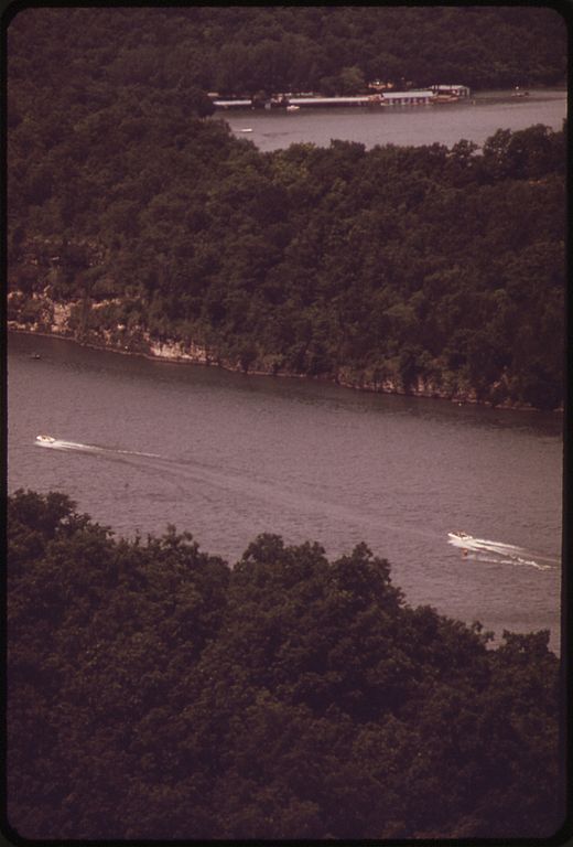
The lake is known for its clear waters, which provide good visibility. The shoreline is characterized by a mix of natural areas and some residential development, though thick tree lines help maintain a sense of privacy while paddling. Bluffs along parts of the shore add to the scenic value.
Wildlife viewing is a highlight of paddling on Lake of the Ozarks. The Aquatic Trail features 14 designated stops where paddlers can observe local flora and fauna. Animals can often be seen along the shoreline, sometimes venturing to the water's edge.
For paddlers seeking a more remote experience, the quieter areas of the lake tend to be more relaxing. The Corps of Engineers maintains undeveloped land around parts of the lake, which contributes to a less crowded atmosphere in some sections.
Safety considerations include being visible to other boats, as the lake does allow motorized traffic. Paddlers should stay aware of larger, faster vessels and make efforts to be seen. Life jackets (PFDs) are required by law for each person on board a kayak.
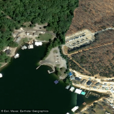
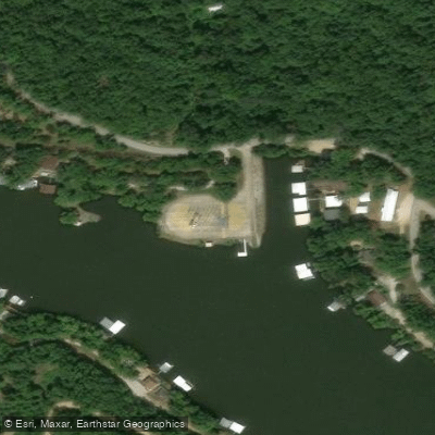
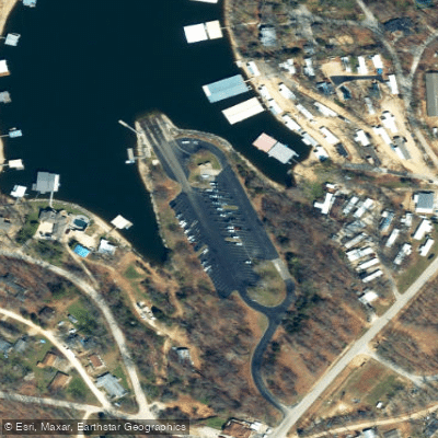
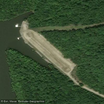
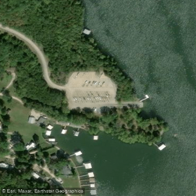
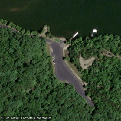
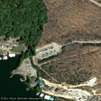
Access points for launching kayaks are plentiful, with numerous boat ramps and piers available around the lake. One recommended launch site is located in a cove near mile marker 15.
The lake's popularity suggests it offers enjoyable paddling conditions throughout much of the year. However, as with any large body of water, weather conditions should be monitored for safety.
The overall paddling experience on Lake of the Ozarks combines natural beauty, wildlife viewing opportunities, and the flexibility to explore both developed and more secluded areas, making it an attractive destination for kayakers of various skill levels.