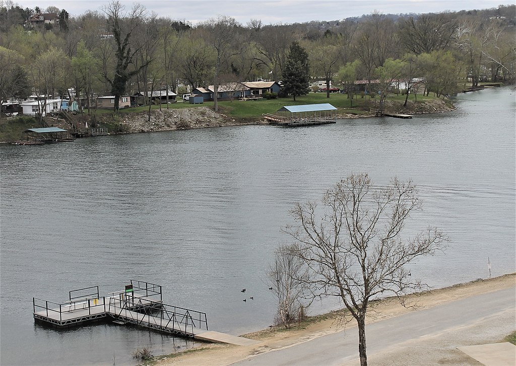
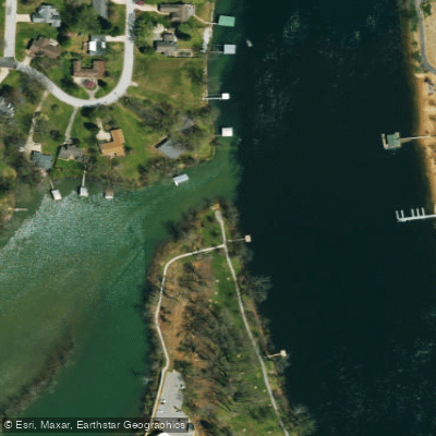
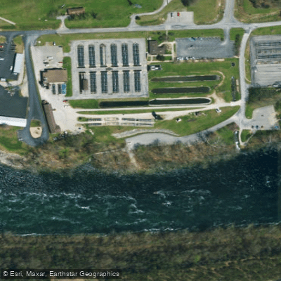
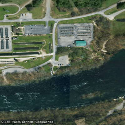
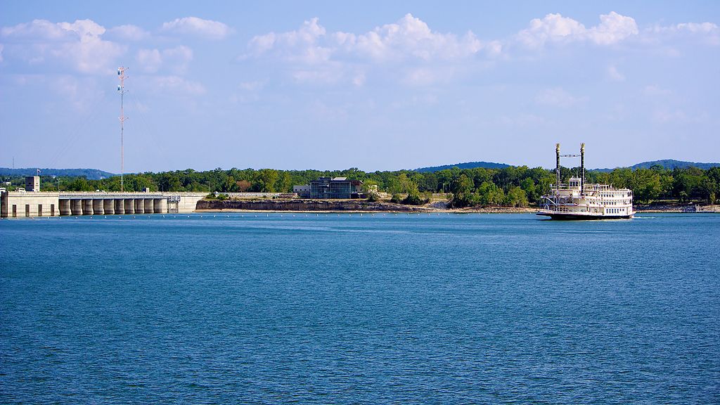
Lake Taneycomo in Missouri offers a unique paddling experience with its cold, clear waters and excellent trout fishing. The lake flows like a river, beginning at the base of Table Rock Dam. Water temperatures remain a chilly 50°F year-round due to the bottom-release from Table Rock Lake, creating ideal conditions for rainbow and brown trout.
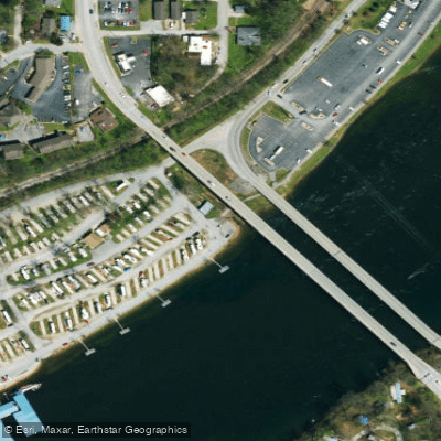
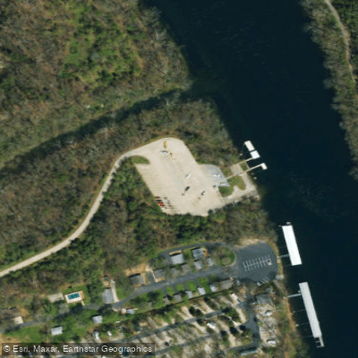
Paddlers can access Lake Taneycomo directly from the Branson Landing or at Cooper Creek access. The lake stretches for 22 miles, providing ample space for exploration. A popular route is the 4-mile adventure from Branson Landing, typically taking 2-2.5 hours with minimal paddling effort. For a longer excursion, an 8-mile trip is available, lasting 3.5-4 hours.
The cold water temperature is a critical safety consideration - hypothermia is a risk even in summer months. Paddlers should dress appropriately and be prepared for sudden weather changes. Water conditions can vary based on power generation at the dam, affecting currents and paddling difficulty.
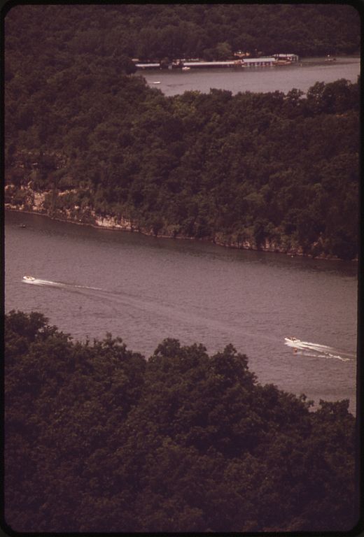
Wildlife viewing opportunities abound, with chances to spot deer, otters, and even bald eagles. The surrounding Ozark Mountains provide a scenic backdrop. Paddlers should be aware that Lake Taneycomo is also popular with motorized boats, particularly near Branson Landing.
A Missouri fishing license and trout stamp are required for anglers. The upper section of the lake has special regulations, including artificial lure restrictions and a slot limit. Paddlers can enjoy the lake year-round, though rental services may have limited hours in winter months.
Lake Taneycomo's unique characteristics as a cold-water lake in a river-like setting, combined with its proximity to Branson's attractions, make it a distinctive paddling destination in the Ozarks.