Harry S Truman Reservoir
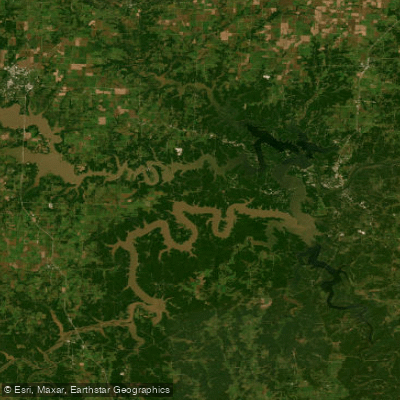
Harry S Truman Reservoir
- Boat Ramps
- 16
- Access Points
- 30
- Campsites
- 39
Harry S. Truman Reservoir, located in western Missouri, offers paddlers a vast 55,600-acre lake with 958 miles of shoreline to explore. The lake's size expands dramatically during floods, reaching up to 200,000 acres. With an average depth of 40 feet and maximum depths of 125 feet, Truman Lake provides diverse paddling environments.
The lake is renowned for its uncrowded, peaceful atmosphere, distinguishing it from the busier Lake of the Ozarks nearby. Paddlers will appreciate the lack of shoreline development, as private homes are not permitted along Truman's banks. The surrounding landscape features rolling hills, hardwood forests, rocky bluffs, and grasslands.
Wildlife viewing opportunities abound, with whitetail deer, turkey, hawks, ospreys, eagles, and various waterfowl frequently spotted. The lake is home to numerous fish species, including largemouth bass, crappie, bluegill, and catfish. Approximately 8,800 acres of standing timber were left in the lake to enhance aquatic habitats.
Truman Lake offers several public beaches for swimming breaks, including those at Harry S. Truman State Park, Red Bud Cove, and Long Shoal Swimming Area. The lake features 21 public boat ramps, providing ample access points for paddlers.
The Truman Dam Visitor Center, perched atop Kaysinger Bluff, offers spectacular views of the lake and dam. It's an excellent spot for paddlers to gain a broader perspective of the lake's geography and learn about its history and ecology.
Paddlers should be aware that Truman Lake serves as a flood control reservoir, so water levels can fluctuate significantly. The lake is also used for power generation and wildlife management, so paddlers should stay informed about any related restrictions or hazards.
For those interested in hiking between paddling sessions, trails like the Shawnee Bend Bluff Trail and Bluff Ridge Trail offer scenic lake views. The surrounding 100,000 acres of protected land provide additional exploration opportunities.
Water access, boat ramps & amenities
Learn how to get on Harry S Truman Reservoir. Uncover great paddling access points, boat ramps, and all the facilities you need for an unforgettable day on the water. Some locations shown may border or include private property. Always check property boundaries and applicable regulations before visiting. PaddleWays's Public & Private Land layer can help you plan your access with confidence.
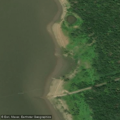
Truman Reservoir Access
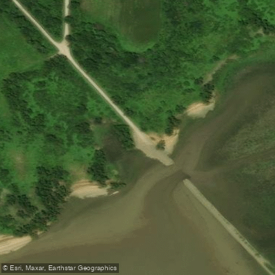
Truman Reservoir Access
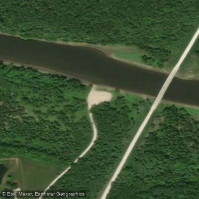
Truman Reservoir Access
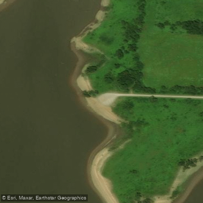
Truman Reservoir Access
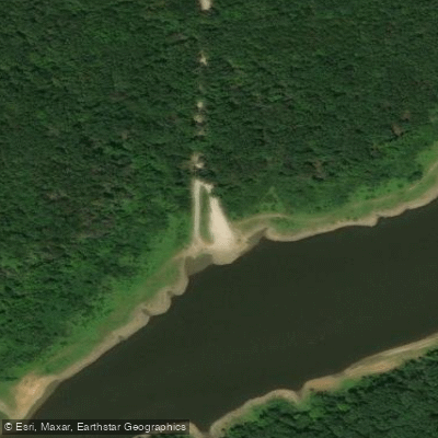
Truman Reservoir Access
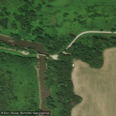
Truman Reservoir Access
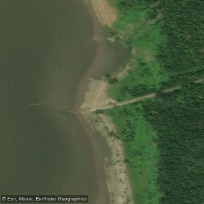
Truman Reservoir Access
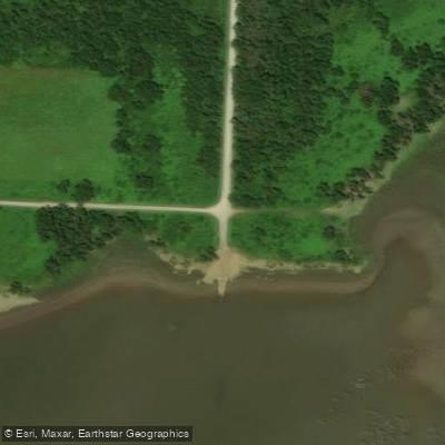
Truman Reservoir Access
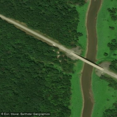
Truman Reservoir Access
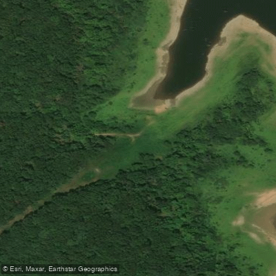
Truman Reervoir Access
Paddle smarter with real-time insights
Whether you're en route and conditions shift or you're looking for the best spot based on current flows, we enable you to make informed decisions on the fly.








Find Places to Paddle

Over 400,000 Places to Paddle
Every user gets free access to launch points, boat ramps, and public property parcels.


Water and weather conditions (10 day forecast)
See the best times to paddle Harry S Truman Reservoir and check the forecast before you go.
No forecast data available.
Paddling near Harry S Truman Reservoir
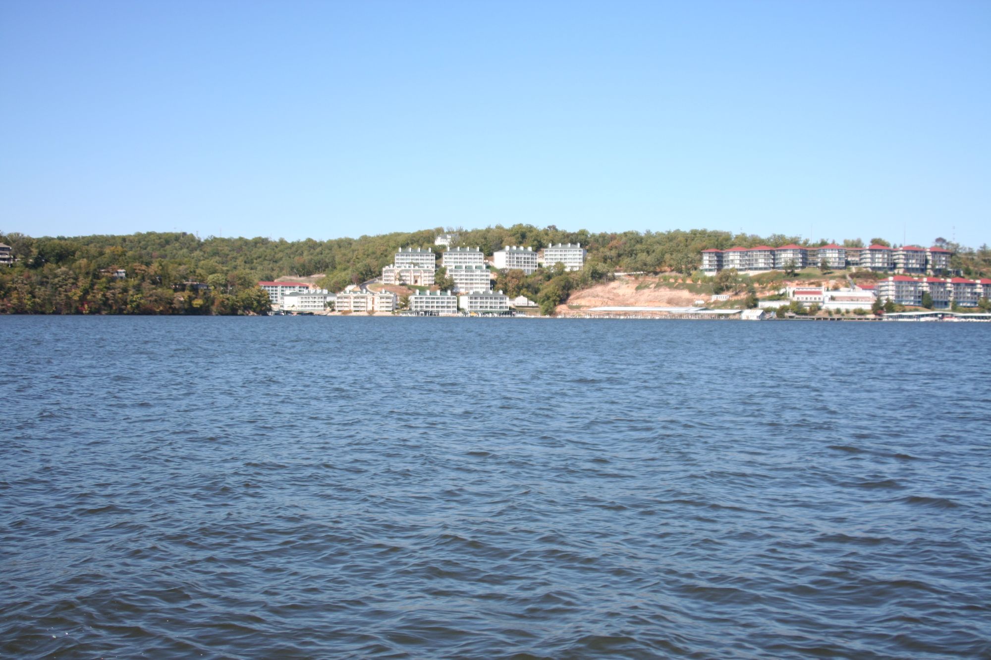
Lake of the Ozarks

Missouri River
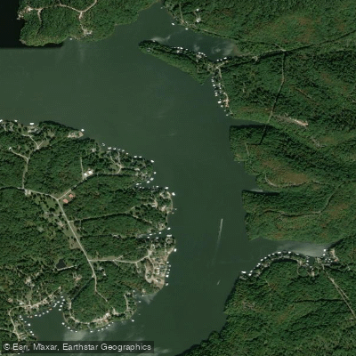
Osage River
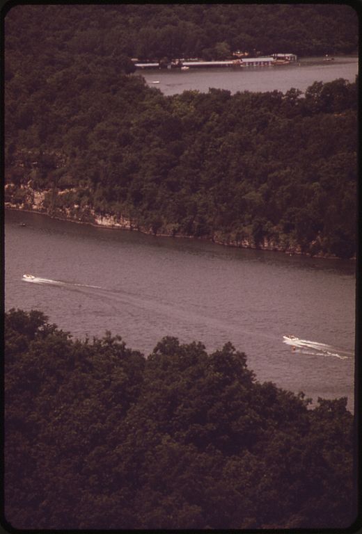
Niangua River
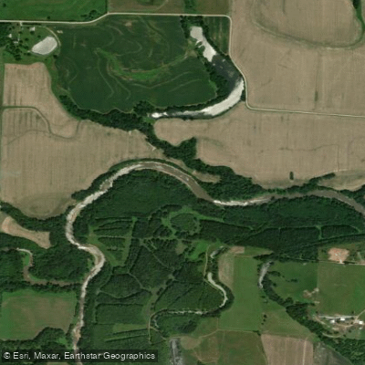
Lamine River
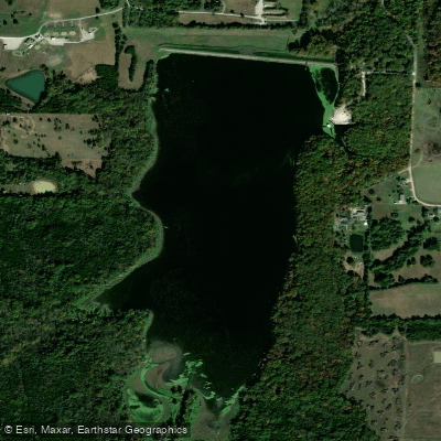
Spring Fork Lake
Edwin A Pape Lake
Blind Pony Lake
Blackwater River
Explore Missouri waters
Top paddling waters
Popular Cities
Loading popular cities...
Explore near Harry S Truman Reservoir
Access points
- Long Shoal Marina Boat Ramp
- Harry S. Truman State Park Boat Ramp
- Truman Reservoir Boat Ramp
- Osage Bluff Marina Boat Ramp
- Bucksaw Resort & Marina Boat Ramp
- Brush Creek Boat Ramp
- Talley Bend Boat Ramp
- Front Street Boat Ramp
- Cooper Creek Boat Ramp
- Long Shoal Boat Ramp
- Berry Bend Boat Ramp
- Crowes Crossing Boat Ramp
- All 169 spots
Nearby waters
More in Missouri

Smarter Paddling Starts in the App.
Paddleways gives you everything you need to plan smarter, paddle better, and own every trip from first launch to takeout.