Mark Twain Lake
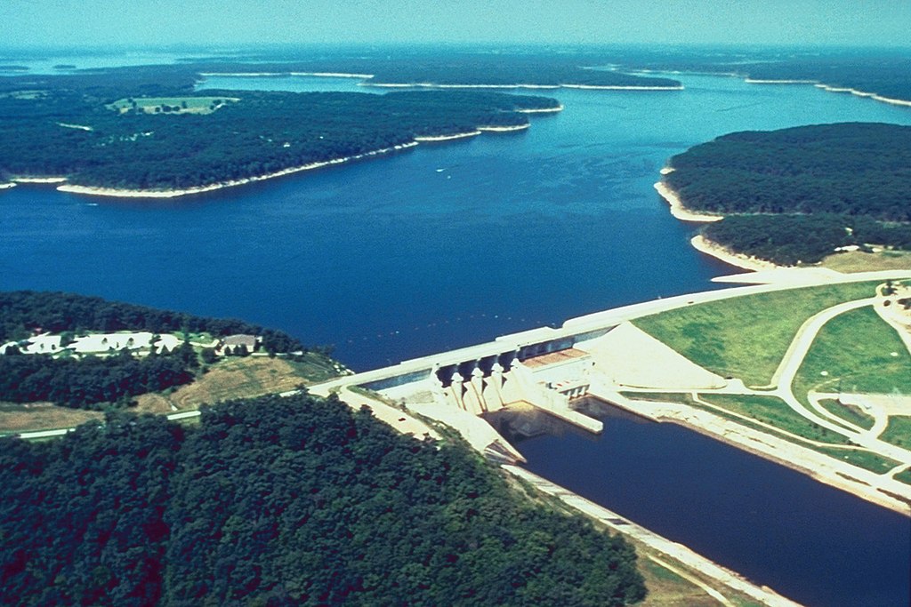
Mark Twain Lake
- Boat Ramps
- 17
- Access Points
- 17
- Campsites
- 5
Mark Twain Lake is an 18,600-acre reservoir in northeast Missouri, offering diverse paddling opportunities. The lake features six major arms with tree-lined banks, rock formations, mud flats, gravel shores, and bluffs. Water clarity fluctuates seasonally, ranging from clear to murky.
Several boat ramps and public access areas provide convenient put-in options, including the Indian Creek Recreation Area, 107 Boat Ramp, Mark Twain State Park ramp, and Ray Behrens Recreation Area. The U.S. Army Corps of Engineers has placed fish attractors in various parts of the lake, some accessible by shore.
Spring and fall are prime paddling seasons. Water temperatures typically thaw in March, with fall turnover occurring September-October. The lake may freeze over during harsh winters. After heavy rains, most of the lake takes about two weeks to clear, except Indian and Little Indian Creeks.
Wildlife viewing opportunities abound, with chances to spot white-tailed deer, turkey, and various bird species. The lake is known for its fishing, particularly crappie, catfish, and bass. Walleye and white bass are also present.
Paddlers should be aware of potential hazards like submerged trees and fluctuating water levels. The lake can experience strong winds, affecting paddling conditions. Recreational boating activity may be heavy during peak seasons.
Mark Twain Lake offers both peaceful coves for relaxed paddling and open water for more adventurous trips. Its serpentine shape and numerous arms provide ample exploration opportunities. The lake's historical significance is tied to its namesake, Samuel Clemens (Mark Twain), who was born nearby.
Water access, boat ramps & amenities
Learn how to get on Mark Twain Lake. Uncover great paddling access points, boat ramps, and all the facilities you need for an unforgettable day on the water. Some locations shown may border or include private property. Always check property boundaries and applicable regulations before visiting. PaddleWays's Public & Private Land layer can help you plan your access with confidence.
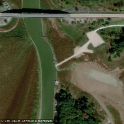
Highway 154 Bridge Boat Ramp
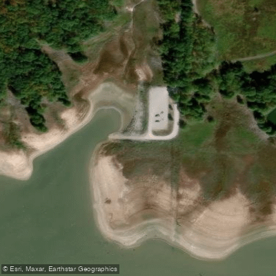
Middle Fork/Route 477 Boat Ramp
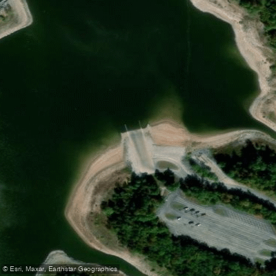
Robert E Allen Recreation Area Boat Ramp
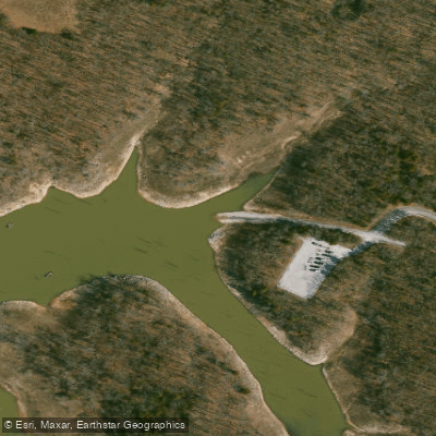
Route BB Boat Ramp
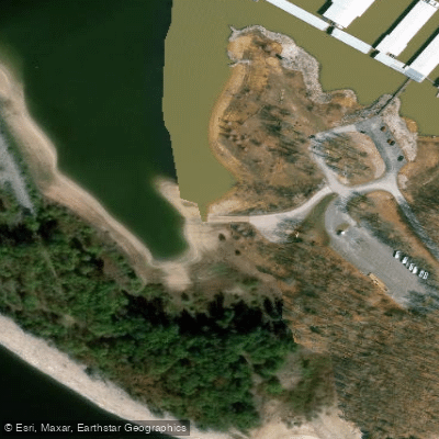
Indian Creek Marina Boat Ramp
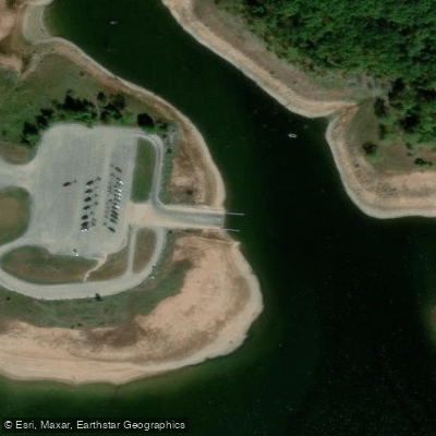
107 Boat Ramp
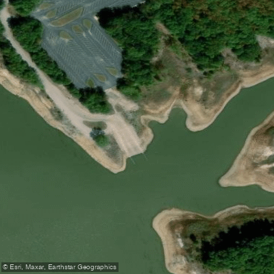
Stoutsville Recreation Area Boat Ramp
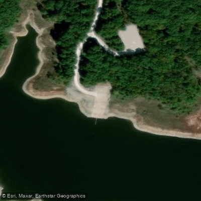
Route 543 Boat Ramp
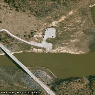
Duane S. Wheelan Recreation Area Boat Ramp
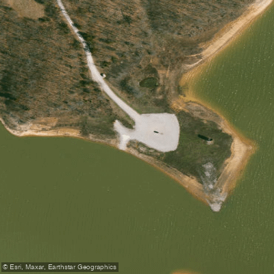
Route N Boat Ramp
Paddle smarter with real-time insights
Whether you're en route and conditions shift or you're looking for the best spot based on current flows, we enable you to make informed decisions on the fly.








Find Places to Paddle

Over 400,000 Places to Paddle
Every user gets free access to launch points, boat ramps, and public property parcels.


Water and weather conditions (10 day forecast)
See the best times to paddle Mark Twain Lake and check the forecast before you go.
No forecast data available.
Paddling near Mark Twain Lake

Mississippi River
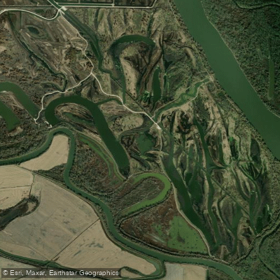
Horseshoe Lake
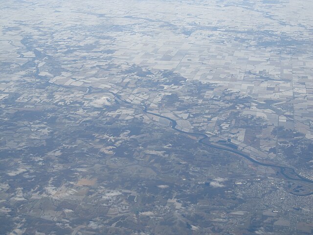
Des Moines River
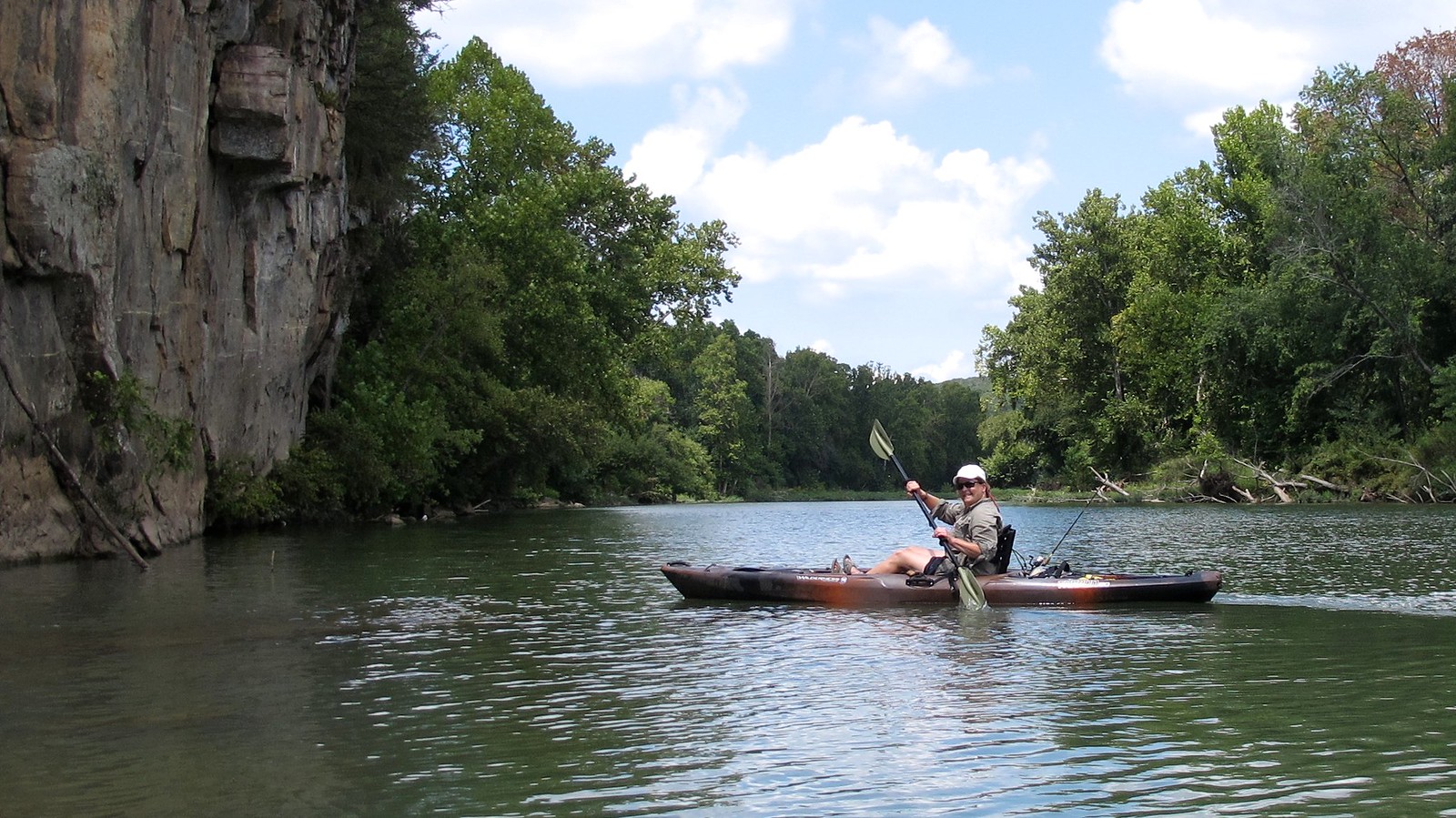
Illinois River
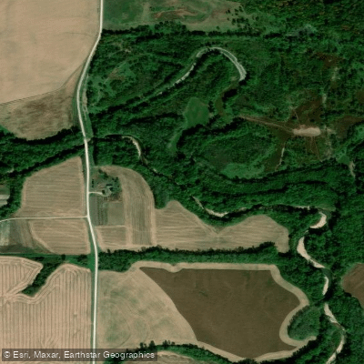
South Fabius River
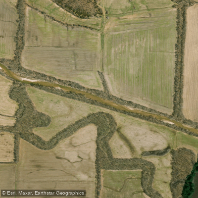
North Fabius River
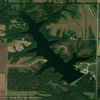
Henry Sever Lake
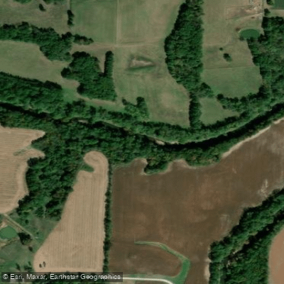
Middle Fabius River
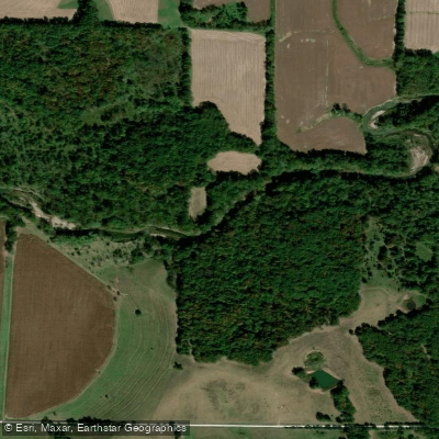
North River
Explore Missouri waters
Top paddling waters
Popular Cities
Loading popular cities...
Explore near Mark Twain Lake
Access points
- Highway 154 Bridge Boat Ramp
- Middle Fork/Route 477 Boat Ramp
- Robert E Allen Recreation Area Boat Ramp
- Route BB Boat Ramp
- Indian Creek Marina Boat Ramp
- 107 Boat Ramp
- Stoutsville Recreation Area Boat Ramp
- Route 543 Boat Ramp
- Duane S. Wheelan Recreation Area Boat Ramp
- Route N Boat Ramp
- Ray Behrens Recreation Area Boat Ramp
- Indian Creek Boat Ramp
- All 74 spots
Nearby waters
More in Missouri

Smarter Paddling Starts in the App.
Paddleways gives you everything you need to plan smarter, paddle better, and own every trip from first launch to takeout.