Grand Glaize Creek
- River
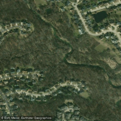
Grand Glaize Creek
- River
- River length
- 10.9 mi
- Public shoreline
- 31%
- Boat Ramps
- 2
Grand Glaize Creek flows through the St. Louis metropolitan area in eastern Missouri, serving as a tributary to the Meramec River. The creek winds through St. Louis County, passing through suburban communities including Ballwin and Valley Park before joining the Meramec River system. A USGS monitoring station (07019150) near Manchester tracks water quality and flow data for this urban waterway.
The creek drains a watershed that has experienced significant suburban development, with water quality monitoring conducted regularly at multiple locations including Quinette Road in Valley Park and near Big Bend Boulevard. The Missouri Department of Natural Resources has maintained sampling stations along Grand Glaize Creek since the late 1990s, documenting conditions in this increasingly urbanized drainage.
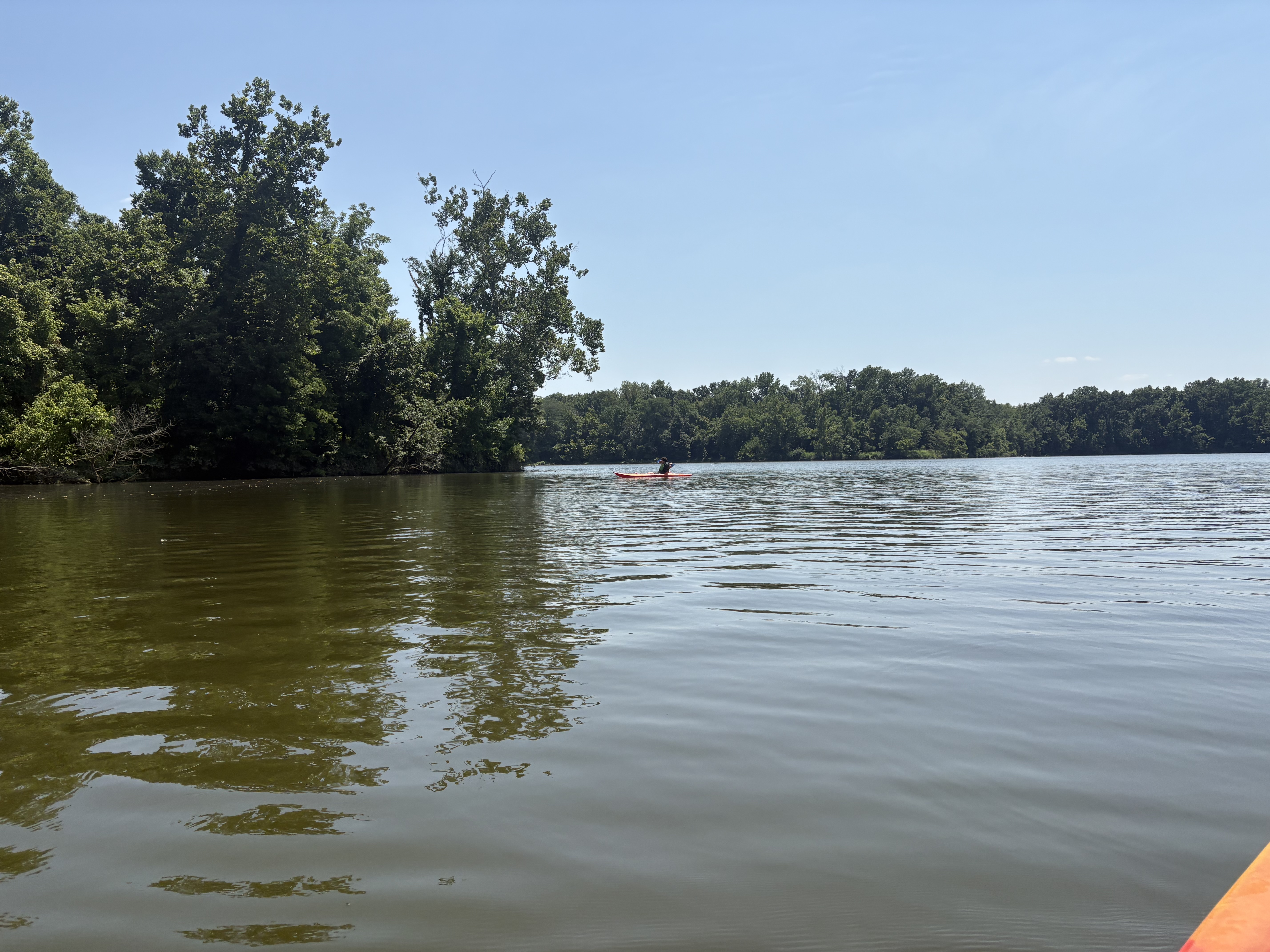
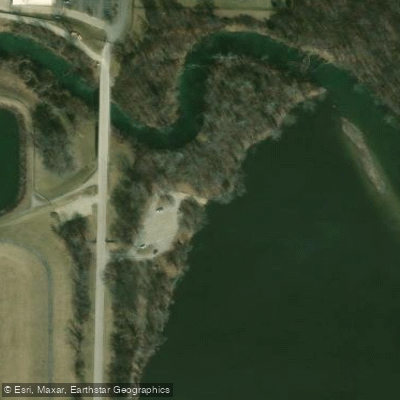
Paddling opportunities on Grand Glaize Creek remain limited and largely dependent on water levels. The section from Ballwin Golf Course/Holloway Road to Weidman Road/Manchester Road represents one of the few documented access points, though specific paddling conditions and characteristics are not well-established. Simpson Lake, located off Grand Glaze (an alternate spelling used locally) on the Meramec Greenway, offers a more reliable paddling venue with a boat ramp and adjacent parking. This one-mile lake circumference provides approximately one hour of paddling in controlled conditions.
The creek's flow characteristics reflect its suburban watershed, with stormwater runoff significantly influencing water levels and quality. During periods of adequate flow, the creek maintains pools and riffles typical of small Missouri streams, though extended dry periods can reduce navigability considerably. The gradient remains gentle through most of its course, consistent with the topography of the St. Louis region.
Access to Grand Glaize Creek centers around the Ballwin area, where Ballwin Golf Course at 333 Holloway Road serves as a recognizable landmark near the upper section. The community of Manchester provides another reference point along the creek's middle reaches. Valley Park, where Quinette Road crosses the creek, marks the lower sections before confluence with the Meramec River.
Paddlers should note that Grand Glaize Creek differs entirely from Grandglaize Creek in Camden County, Missouri, which flows into the Lake of the Ozarks and forms the Grand Glaize Arm of that reservoir. The St. Louis County creek remains a modest urban waterway with limited recreational paddling infrastructure compared to Missouri's more established float streams in the Ozarks region.
Hazards
Hazards on Grand Glaize Creek
No hazards are marked on Grand Glaize Creek yet. That is not the same as none being there: if you find one, report it for the next paddler.
From the community
Grand Glaize Creek trip reports
Nobody has shared a trip on Grand Glaize Creek yet. Paddle it, then tell the next paddler how it went.
Water access & public shoreline
See exactly where the public can get on and off the river. Launch points and boat ramps are paired with PaddleWays' public land data so you know where you can legally land.
Public shoreline
31%of the river's shoreline is public
- Public
- 31%
- Private
- 69%
Largest public stretches
- Love County Park
- Levee Trail
- Museum Of Transportation
Most of the riverbank is private. Launch, land and camp only at public access points.
Flows & paddling conditions (10 day forecast)
Flows and weather, so you know what to expect on Grand Glaize Creek today.
Grand Glaize Creek near Manchester, MO
All Flow Stations
Paddle smarter with real-time insights
Live flows, marked hazards and fresh trip reports from paddlers who were just on the water, all in one place.







Find Places to Paddle

Over 400,000 Places to Paddle
Every user gets free access to launch points, boat ramps, and public property parcels.



Paddling near Grand Glaize Creek
Missouri River
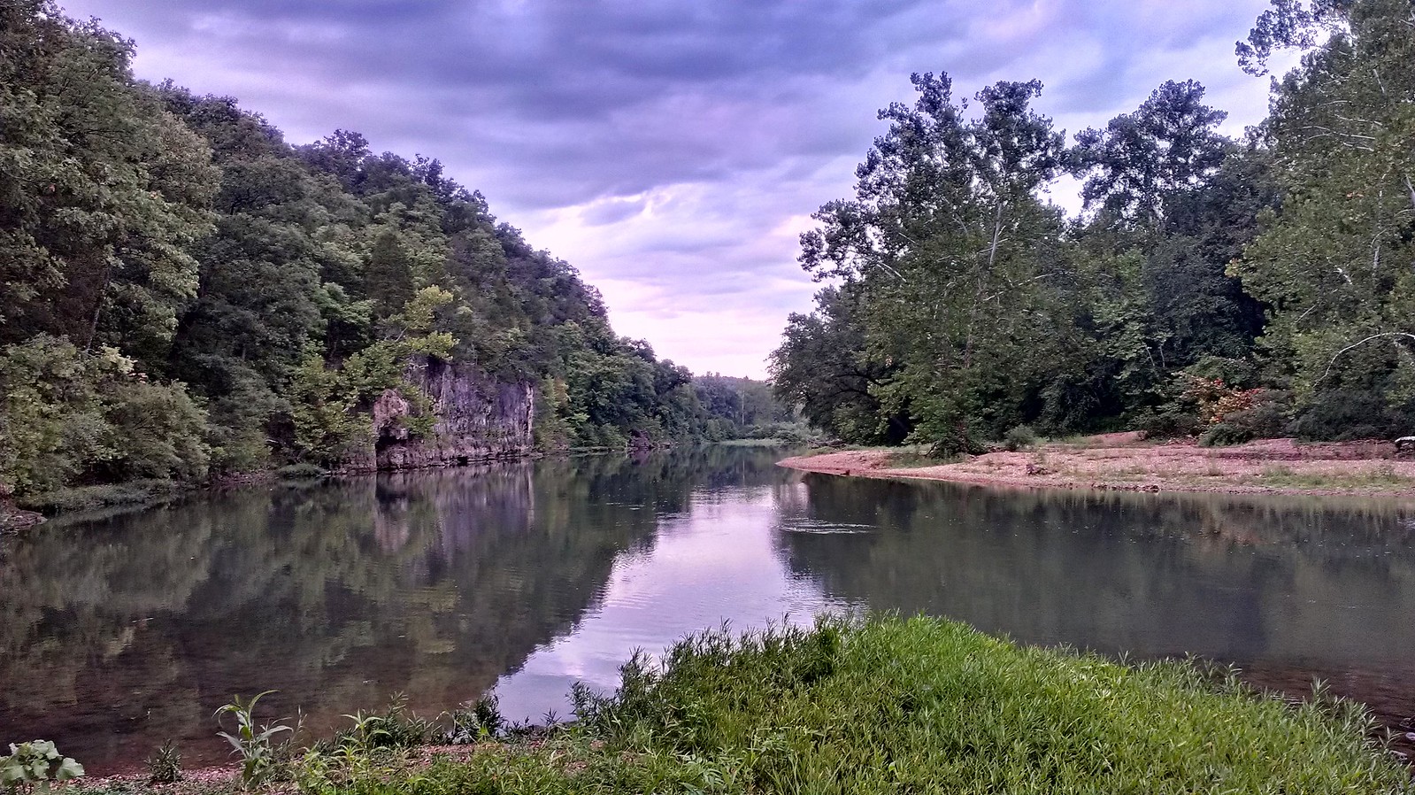
Meramec River

Mississippi River
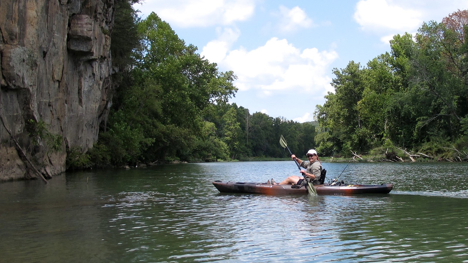
Illinois River
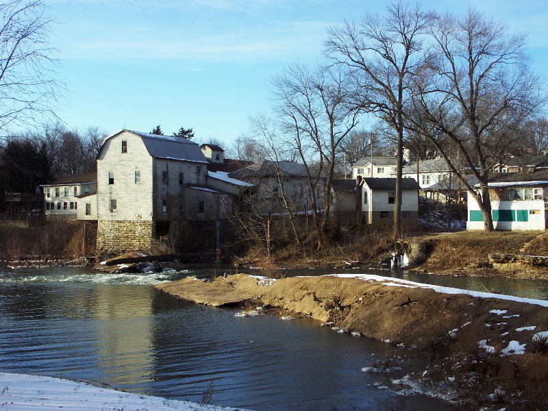
Big River
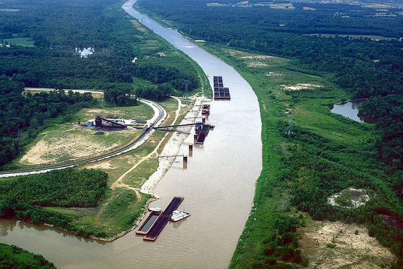
Kaskaskia River
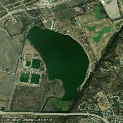
Creve Coeur Lake
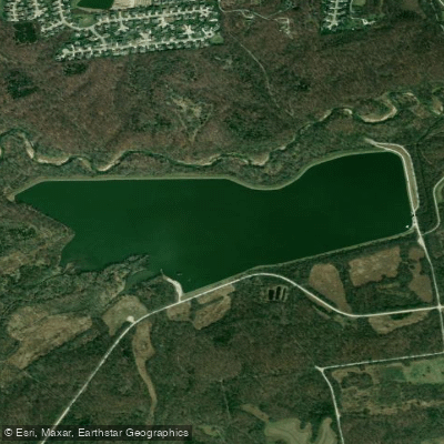
Kraut Run Lake
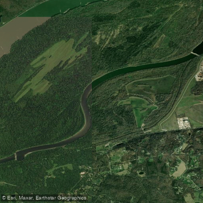
Centaur Chute
Explore Missouri waters
Top paddling waters
Popular Cities
Loading popular cities...
Explore near Grand Glaize Creek
Access points
Nearby waters
More in Missouri

Smarter Paddling Starts in the App.
PaddleWays gives you everything you need to plan smarter, paddle better, and own every trip from first launch to takeout.