Joachim Creek
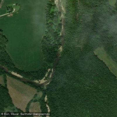
Joachim Creek
- Boat Ramps
- 1
- Access Points
- 8
- Campsites
- 1
Joachim Creek is a scenic waterway located in eastern Missouri, originating in St. Francois County and flowing northeast through Jefferson County before emptying into the Mississippi River near Herculaneum. This creek, which some argue should be called a river due to its size, travels approximately 30-40 miles through the rolling landscapes of the Missouri Ozarks. The creek offers several paddling opportunities, with the most popular sections being from De Soto to Herculaneum and from Herculaneum to the Mississippi River confluence. The difficulty ranges from flatwater to Class II rapids, making it suitable for beginner to intermediate paddlers. The creek becomes cleaner and more visually appealing as you paddle westward, with the upper sections providing more scenic views of the Ozark landscape.
Joachim Creek is best paddled in spring and early summer when water levels are typically higher. Late summer and fall can see lower water levels, potentially making some sections less navigable. Winter paddling is possible but can be challenging due to occasional ice formation, particularly at access points like the Herculaneum ramp. The surrounding ecosystem supports a variety of wildlife, including largemouth bass in the lower stretches. Paddlers may encounter numerous small turtles basking on logs or rocks along the shoreline.
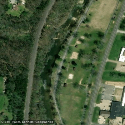
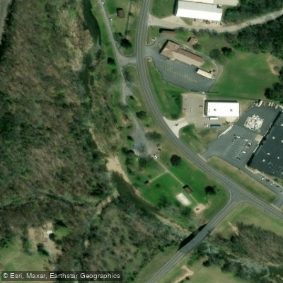
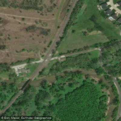
Key access points include West City Park in Festus, Walther Park in De Soto, and the boat ramp in Herculaneum. These towns provide convenient put-in and take-out locations, as well as amenities for paddlers. The U.S. Geological Survey maintains a streamgage on Joachim Creek at De Soto, which can be useful for monitoring water levels and planning trips. Paddlers should be aware that the area near the confluence with the Mississippi can be less attractive due to industrial development in Herculaneum.
While multi-day trips are not common on Joachim Creek due to its relatively short length, the various sections can be combined for longer day trips. The creek is part of the larger Joachim Creek Water Trail, which runs through Jefferson County and offers opportunities for both paddling and fishing.
Safety considerations include checking water levels before paddling, being aware of potential strainers or obstacles, and exercising caution near the confluence with the Mississippi River where currents can be stronger. As with all Missouri waterways, paddlers should follow state boating regulations and practice Leave No Trace principles. Joachim Creek, with its mix of urban and natural landscapes, provides a unique paddling experience that showcases the beauty of eastern Missouri's waterways and offers a pleasant escape for outdoor enthusiasts in the greater St. Louis area.
Water access, boat ramps & amenities
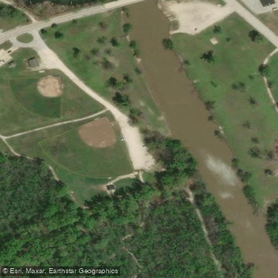
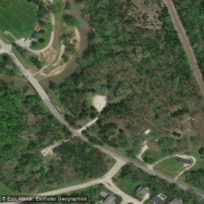
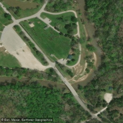
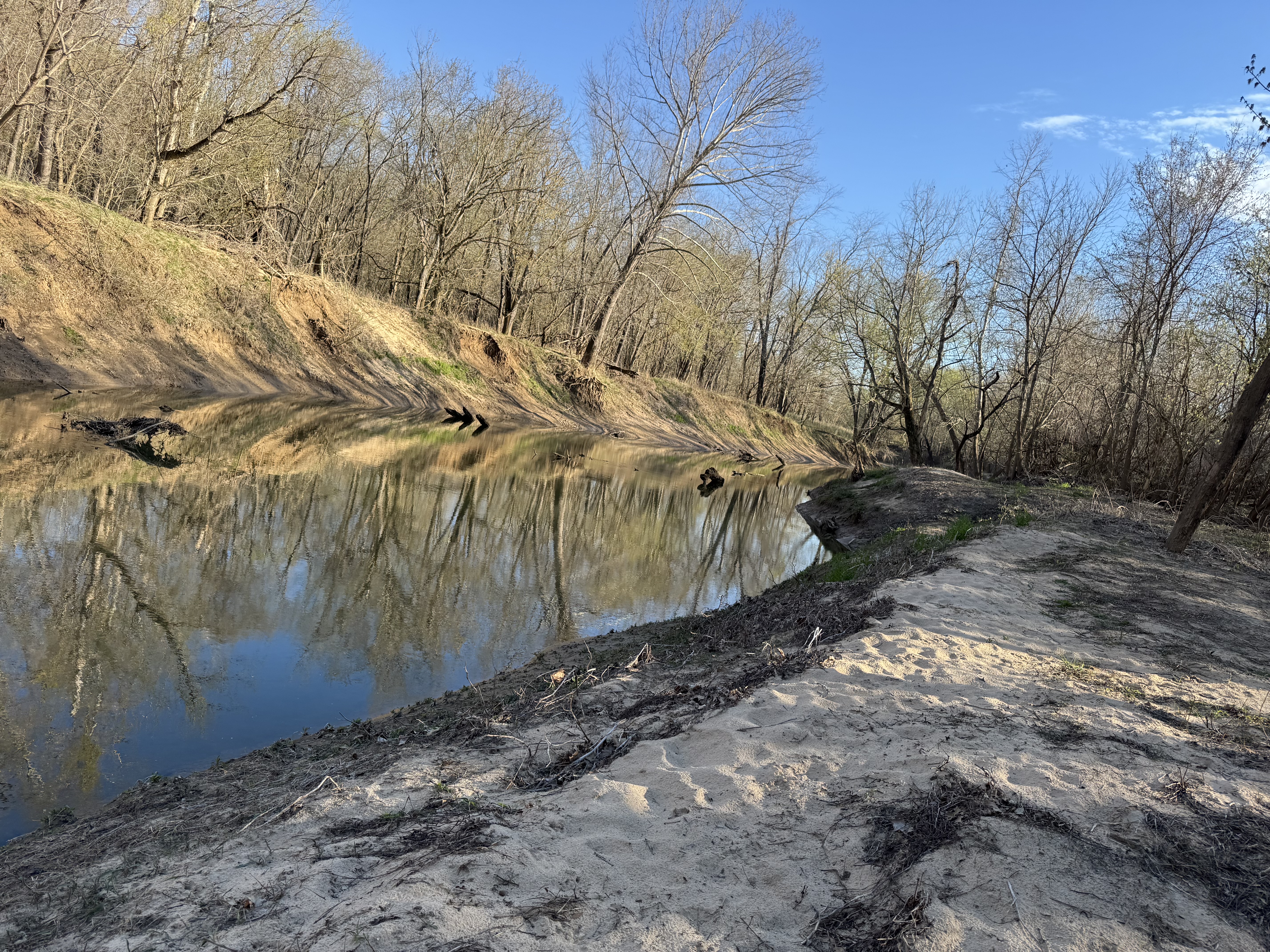
Learn how to get on Joachim Creek. Uncover great paddling access points, boat ramps, and all the facilities you need for an unforgettable day on the water. Some locations shown may border or include private property. Always check property boundaries and applicable regulations before visiting. PaddleWays's Public & Private Land layer can help you plan your access with confidence.
Paddle smarter with real-time insights
Whether you're en route and conditions shift or you're looking for the best spot based on current flows, we enable you to make informed decisions on the fly.








Find Places to Paddle

Over 400,000 Places to Paddle
Every user gets free access to launch points, boat ramps, and public property parcels.


Water and weather conditions (10 day forecast)
See the best times to paddle Joachim Creek and check the forecast before you go.
Joachim Creek at De Soto, MO
Paddling near Joachim Creek

Mississippi River
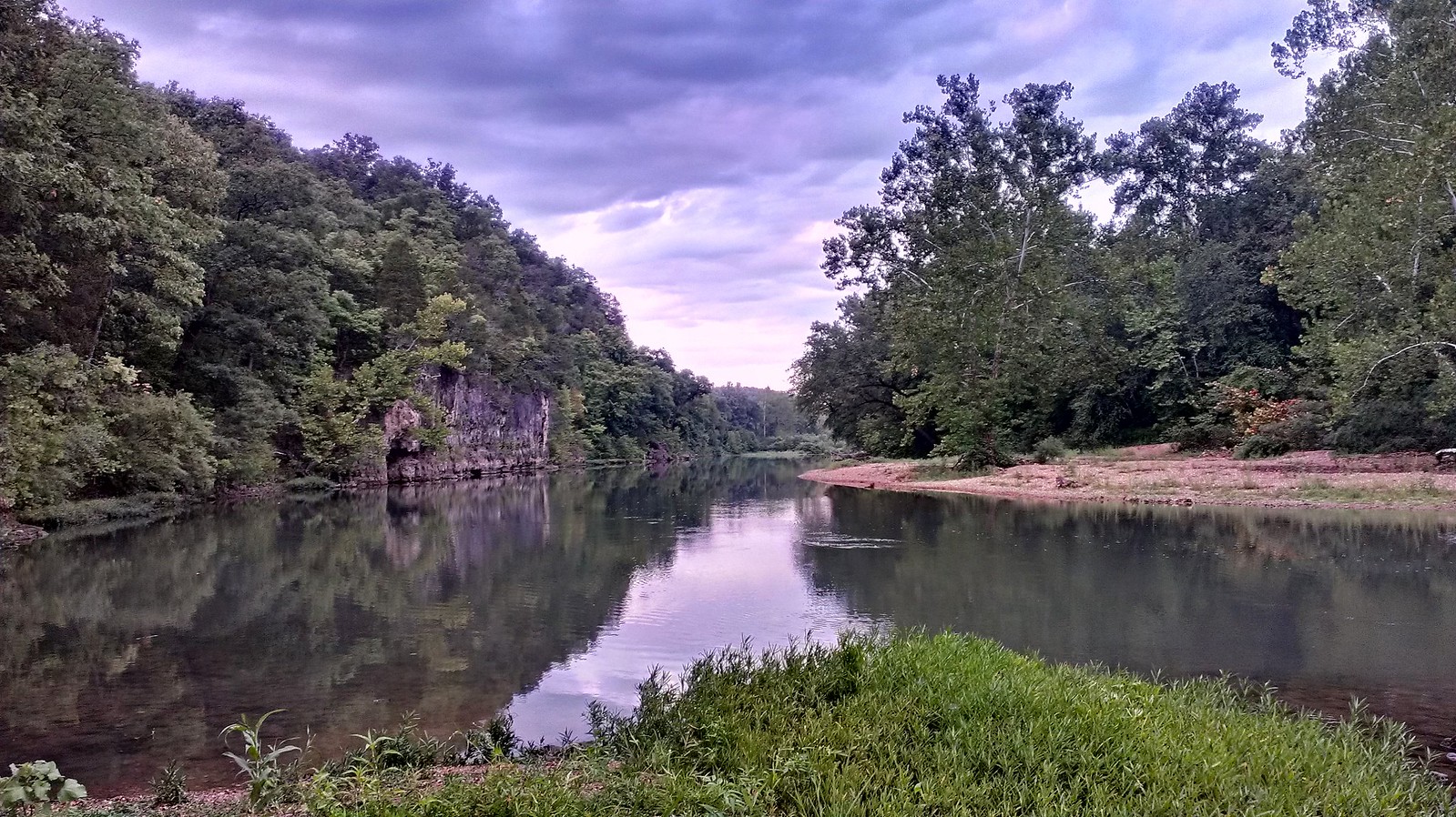
Meramec River

Missouri River
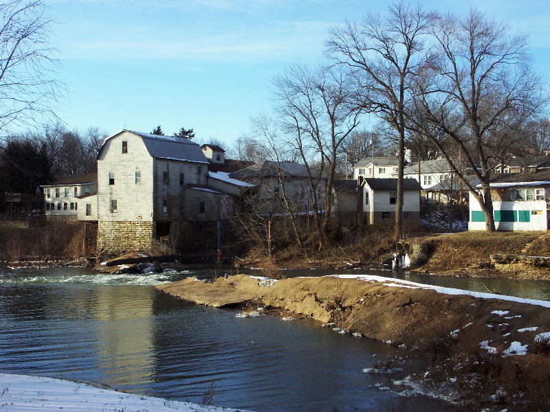
Big River
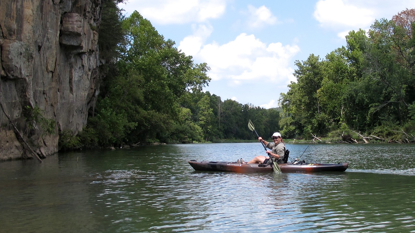
Illinois River
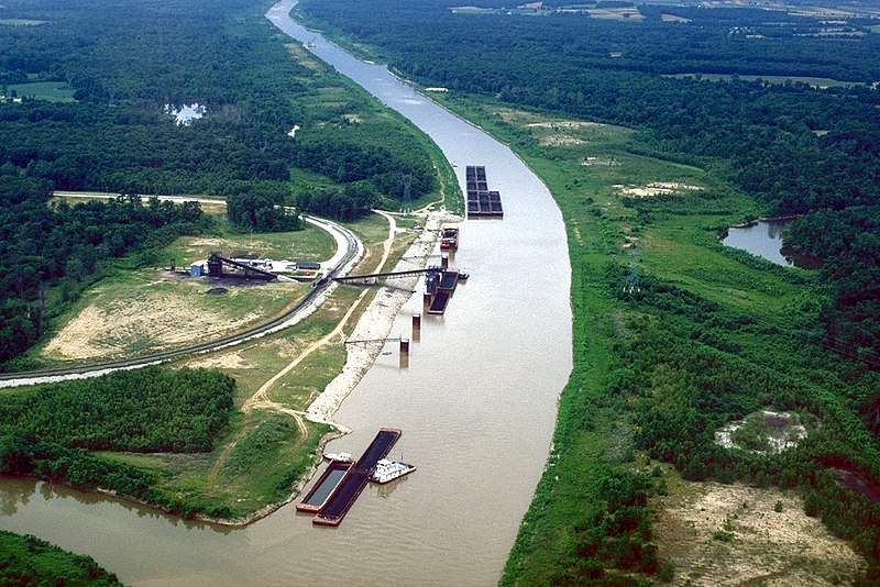
Kaskaskia River
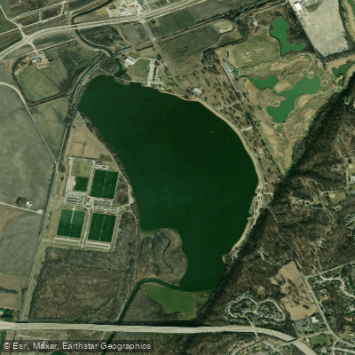
Creve Coeur Lake
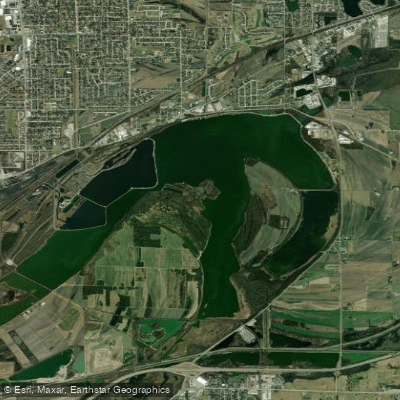
Horseshoe Lake
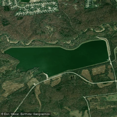
Kraut Run Lake
Explore Missouri waters
Top paddling waters
Popular Cities
Loading popular cities...
Explore near Joachim Creek
Access points
Nearby waters
More in Missouri

Smarter Paddling Starts in the App.
Paddleways gives you everything you need to plan smarter, paddle better, and own every trip from first launch to takeout.