South Fork Humboldt River
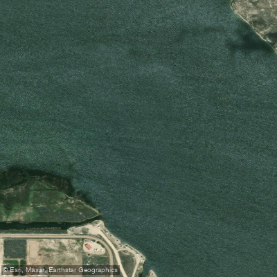
South Fork Humboldt River
- Boat Ramps
- 4
- Access Points
- 6
- Campsites
- 1
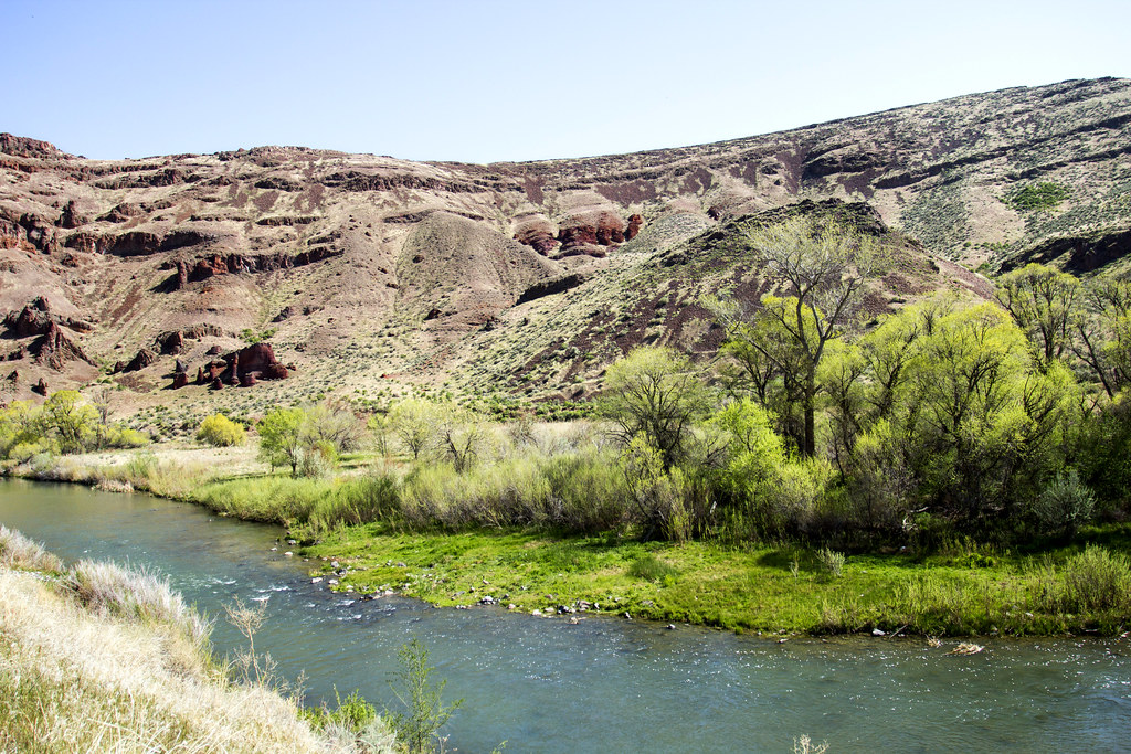
The South Fork Humboldt River is a significant tributary of the Humboldt River system in northeastern Nevada. Originating on the western slopes of the Ruby Mountains in Elko County, this river flows generally northwest before joining the main stem of the Humboldt River. The South Fork Humboldt offers a scenic and relatively gentle paddling experience, particularly in the section known as South Fork Canyon. This stretch, located northwest of South Fork State Recreation Area, provides an enjoyable float from the South Fork Reservoir Dam to the Bullion Road Bridge. The river here is primarily Class I, with occasional Class II rapids during peak flow periods, making it suitable for beginner to intermediate paddlers.
Paddlers can expect a beautiful journey through a picturesque canyon, with clear waters and diverse wildlife. The river supports a variety of fish species, including rainbow trout, brown trout, and channel catfish, making it a popular destination for anglers as well. The best time to paddle the South Fork Humboldt is typically late spring to early summer when water levels are optimal due to snowmelt. However, conditions can vary, and it's essential to check current water levels and weather forecasts before embarking on a trip.
Access to the river is relatively straightforward, with the put-in located at the South Fork Reservoir Dam. Paddlers can carry their craft to the water past the dam. The take-out point is at the Bullion Road Bridge, where the road crosses the river. The nearest significant town is Elko, which serves as a good base for exploring the region.
The South Fork Humboldt River plays a crucial role in the local ecosystem and has historical significance related to the settlement and development of northeastern Nevada. The river and surrounding areas have been important to Native American tribes for thousands of years and later became vital to ranching and mining operations in the region.
Safety considerations include being prepared for sudden weather changes, as conditions in this part of Nevada can shift rapidly. Paddlers should also be aware of potential obstacles such as submerged rocks or fallen trees, especially in less frequently paddled sections. While the South Fork Canyon section is suitable for day trips, the river's length and surrounding public lands offer potential for multi-day adventures for those interested in combining paddling with camping and hiking in the nearby Ruby Mountains.
Overall, the South Fork Humboldt River provides a serene and accessible paddling experience in a beautiful Nevada setting, offering opportunities for recreation, wildlife viewing, and connecting with the natural and cultural history of the region.
Water access, boat ramps & amenities
Learn how to get on South Fork Humboldt River. Uncover great paddling access points, boat ramps, and all the facilities you need for an unforgettable day on the water. Some locations shown may border or include private property. Always check property boundaries and applicable regulations before visiting. PaddleWays's Public & Private Land layer can help you plan your access with confidence.
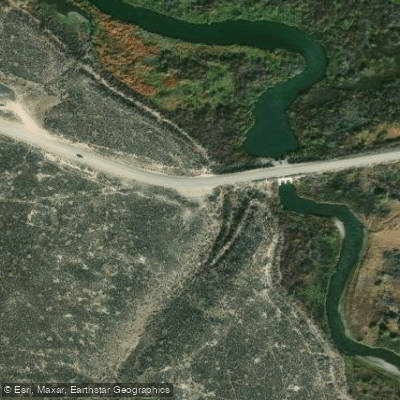
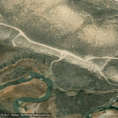
Paddle smarter with real-time insights
Whether you're en route and conditions shift or you're looking for the best spot based on current flows, we enable you to make informed decisions on the fly.








Find Places to Paddle

Over 400,000 Places to Paddle
Every user gets free access to launch points, boat ramps, and public property parcels.


Water and weather conditions (10 day forecast)
See the best times to paddle South Fork Humboldt River and check the forecast before you go.
S FK HUMBOLDT RV ABV TENMILE CK NR ELKO, NV
All Flow Stations
Paddling near South Fork Humboldt River
Owyhee River
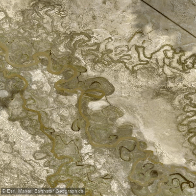
Humboldt River
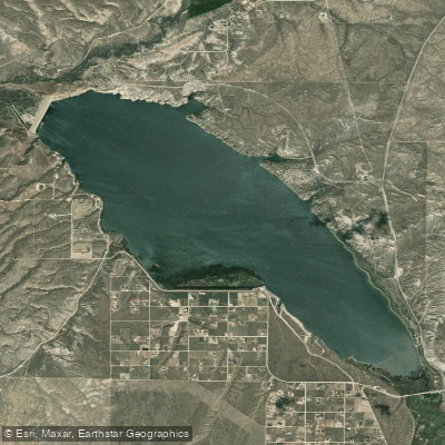
South Fork Reservoir
Lamoille Creek
South Fork Owyhee River
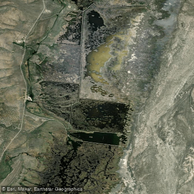
Ruby Lake
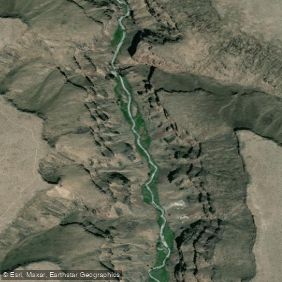
Bruneau River
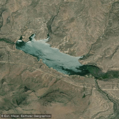
Willow Creek Reservoir
Explore Nevada waters
Top paddling waters
Popular Cities
Loading popular cities...
Explore near South Fork Humboldt River
Access points
- Bullion Road Bridge Boat Ramp
- Bureau Of Land Management Boat Ramp
- South Fork Reservoir Boat Ramp
- South Fork Reservoir Boat Ramp
- South Fork State Recreation Area Access
- Access
- S Fork Humboldt River Bridge
- Bullion Road Bridge
- S Fork Humboldt River Bridge
- S Fork Humboldt Rvr Bridge
- SR 228 Bridge
- Sfk Humboldt Rv Bridge
- All 17 spots
Nearby waters
More in Nevada

Smarter Paddling Starts in the App.
Paddleways gives you everything you need to plan smarter, paddle better, and own every trip from first launch to takeout.