South Fork Reservoir
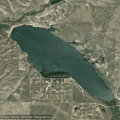
South Fork Reservoir
- Boat Ramps
- 3
- Access Points
- 5
- Campsites
- 1
South Fork Reservoir, located in Nevada, offers 1,640 acres of surface area for paddling with views of the Ruby Mountains to the east. The reservoir was built in 1988 specifically for recreation and reaches a maximum depth of 67 feet when full. Two boat launches, at Coyote Cove and Hamilton Cove, can accommodate watercraft up to 15 feet in length. Motorboats, canoes, kayaks, and rafts are all permitted, though about half the lake is designated as "no-wake zones".
The reservoir's water levels can fluctuate seasonally as it stores excess flow from the South Fork Humboldt River. Paddlers should be aware that as of July 15, the reservoir was under a Harmful Algal Bloom (HAB) watch, which may impact water quality and safety.
Wildlife viewing opportunities abound, with mule deer, badgers, coyotes, and beavers frequenting the shoreline. The reservoir attracts numerous waterfowl species, including canvasbacks, northern pintails, and buffleheads. Spring and early summer tend to be the most active seasons for wildlife.
South Fork State Park surrounds the reservoir, providing camping facilities and day-use areas. An RV campground with 25 primitive sites is located on the western shore, offering easy water access. While there are no hookups, water spigots and a dump station are available near the park entrance.
Eight miles of trails encircle much of the shoreline, allowing paddlers to combine their water excursions with hiking or biking. The surrounding landscape transitions from lush vegetation near the water to high desert sagebrush, creating a diverse ecosystem.
Summer temperatures in the area routinely reach the 90s, making the reservoir an attractive spot for cooling off. Spring through early summer is generally considered the most productive time for fishing, which could impact paddling conditions due to increased boat traffic.
Water access, boat ramps & amenities
Learn how to get on South Fork Reservoir. Uncover great paddling access points, boat ramps, and all the facilities you need for an unforgettable day on the water. Some locations shown may border or include private property. Always check property boundaries and applicable regulations before visiting. PaddleWays's Public & Private Land layer can help you plan your access with confidence.
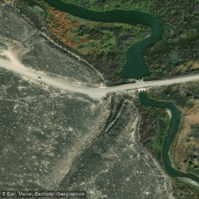
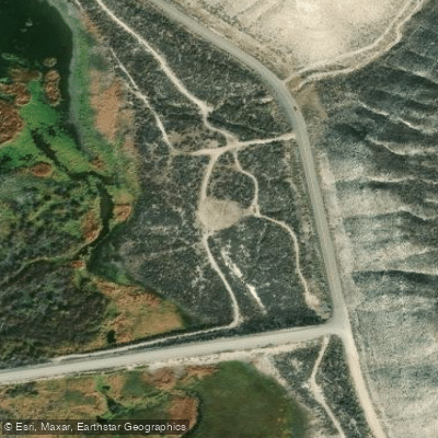
Paddle smarter with real-time insights
Whether you're en route and conditions shift or you're looking for the best spot based on current flows, we enable you to make informed decisions on the fly.








Find Places to Paddle

Over 400,000 Places to Paddle
Every user gets free access to launch points, boat ramps, and public property parcels.


Water and weather conditions (10 day forecast)
See the best times to paddle South Fork Reservoir and check the forecast before you go.
No forecast data available.
Paddling near South Fork Reservoir
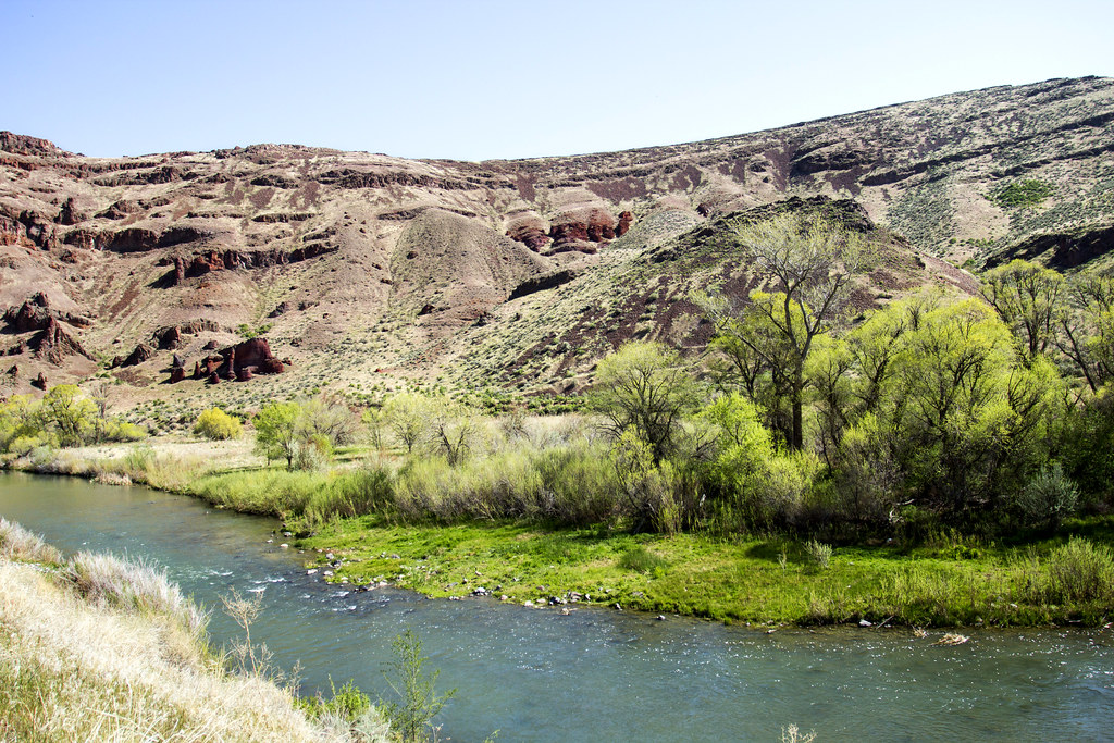
Owyhee River
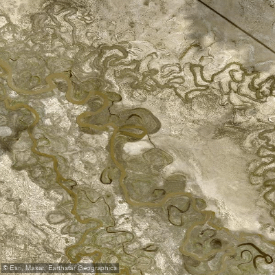
Humboldt River
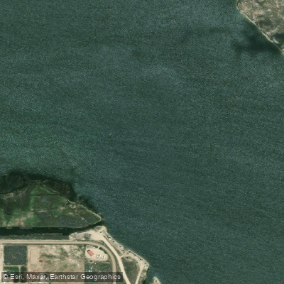
South Fork Humboldt River
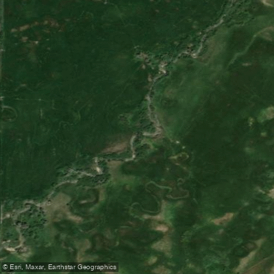
Lamoille Creek
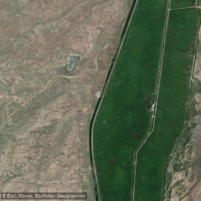
South Fork Owyhee River
Ruby Lake
Bruneau River
Willow Creek Reservoir
Explore Nevada waters
Top paddling waters
Popular Cities
Loading popular cities...
Explore near South Fork Reservoir
Access points
- South Fork Reservoir Boat Ramp
- South West Shore Boat Ramp
- South Fork Reservoir Boat Ramp
- South Fork State Recreation Area Access
- South Fork State Recreation Area Access
- S Fork Humboldt Rvr Bridge
- S Fork Humboldt Rvr Bridge
- Lower South Fork Rd Bridge
- Huntington Crk Bridge
- Bullion Road Bridge
- Sfk Humboldt Rv Bridge
- SR 228 Bridge
- All 14 spots
Nearby waters
More in Nevada

Smarter Paddling Starts in the App.
Paddleways gives you everything you need to plan smarter, paddle better, and own every trip from first launch to takeout.