Massabesic Lake
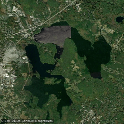
Massabesic Lake
- Boat Ramps
- 6
- Access Points
- 7
- Campsites
- 2
Lake Massabesic, located near Manchester, New Hampshire, offers several access points for paddlers. The lake is divided into north and south sections connected by a narrow river-like passage.
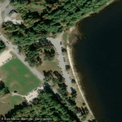
Key launch sites include: 1. Deer Neck Bridge: A canoe access point between the north and south parts of the lake. 2. Public boat ramp in Auburn: Near where Little Massabesic River enters the lake. 3. Park at Massabesic Traffic Circle: Located at exit 1 on Route 101. 4. Launch site south of Massabesic Traffic Circle on Route 28: Immediately after crossing the narrow section connecting the lake parts. 5. Public boat launch east of the traffic circle: Past a Catholic Church, next to a small white church. 6. Shoreline access further east along the same road. 7. Another public boat launch about half a mile past Auburn store.
All public access points are open for daylight use only. Paddlers using these sites in the evening should park outside the gates.
The lake has some restrictions paddlers must observe. At the Deer Neck Bridge launch, a chain of buoys marks a restricted area; paddlers must not go beyond these buoys. However, to the left of this area, there are numerous islands, coves, and inlets to explore.
A unique regulation requires paddlers not to step into the water when launching unless wearing boots that extend above the water level. This rule applies due to the lake's status as a reservoir.
Lake Massabesic offers a diverse paddling experience with its varied shoreline, islands, and coves. The crushed rock recently added at some launch sites may pose challenges for composite boats. Paddlers should be prepared for potentially rough launching and beaching conditions.
For those seeking a mix of open water and sheltered paddling, launching from Deer Neck Bridge and exploring the area to the left of the buoy line is recommended. This route provides access to numerous islands and protected inlets, ideal for a day trip.
Water access, boat ramps & amenities
Learn how to get on Massabesic Lake. Uncover great paddling access points, boat ramps, and all the facilities you need for an unforgettable day on the water. Some locations shown may border or include private property. Always check property boundaries and applicable regulations before visiting. PaddleWays's Public & Private Land layer can help you plan your access with confidence.
Paddle smarter with real-time insights
Whether you're en route and conditions shift or you're looking for the best spot based on current flows, we enable you to make informed decisions on the fly.








Find Places to Paddle

Over 400,000 Places to Paddle
Every user gets free access to launch points, boat ramps, and public property parcels.


Water and weather conditions (10 day forecast)
See the best times to paddle Massabesic Lake and check the forecast before you go.
No forecast data available.
Paddling near Massabesic Lake

Merrimack River
Contoocook River
Great Bay
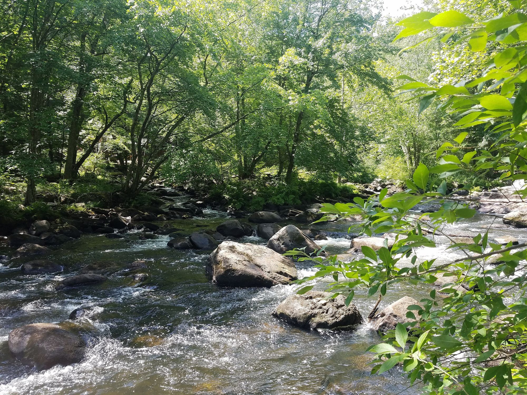
Souhegan River
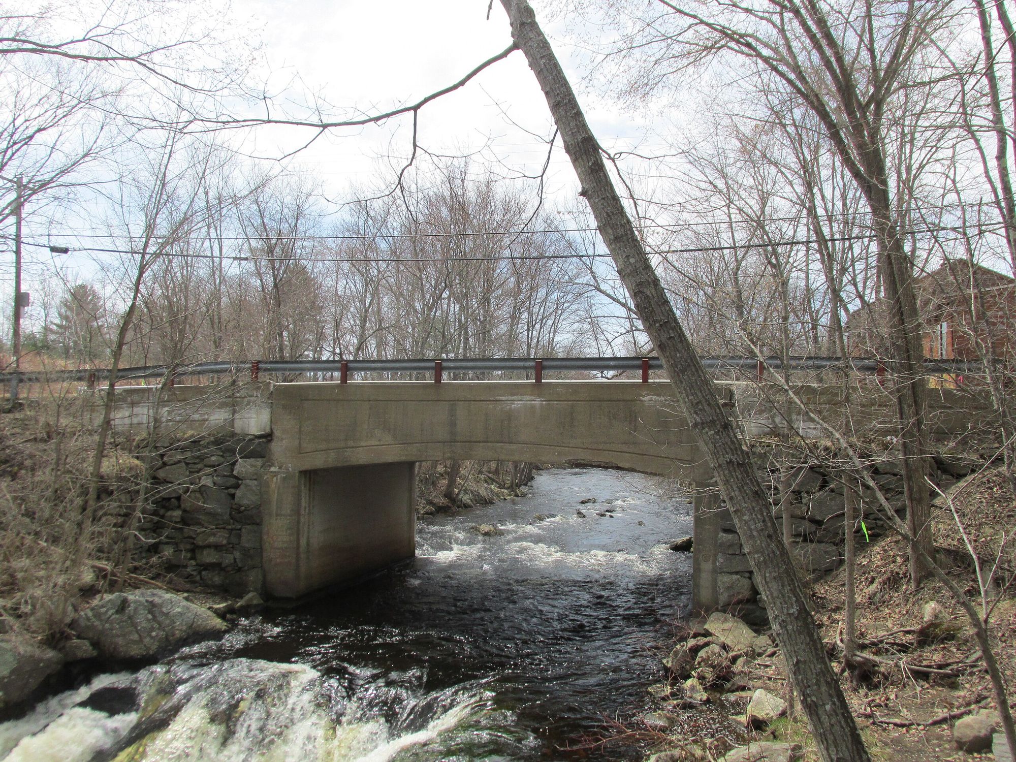
Exeter River
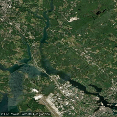
Piscataqua River
Lamprey River
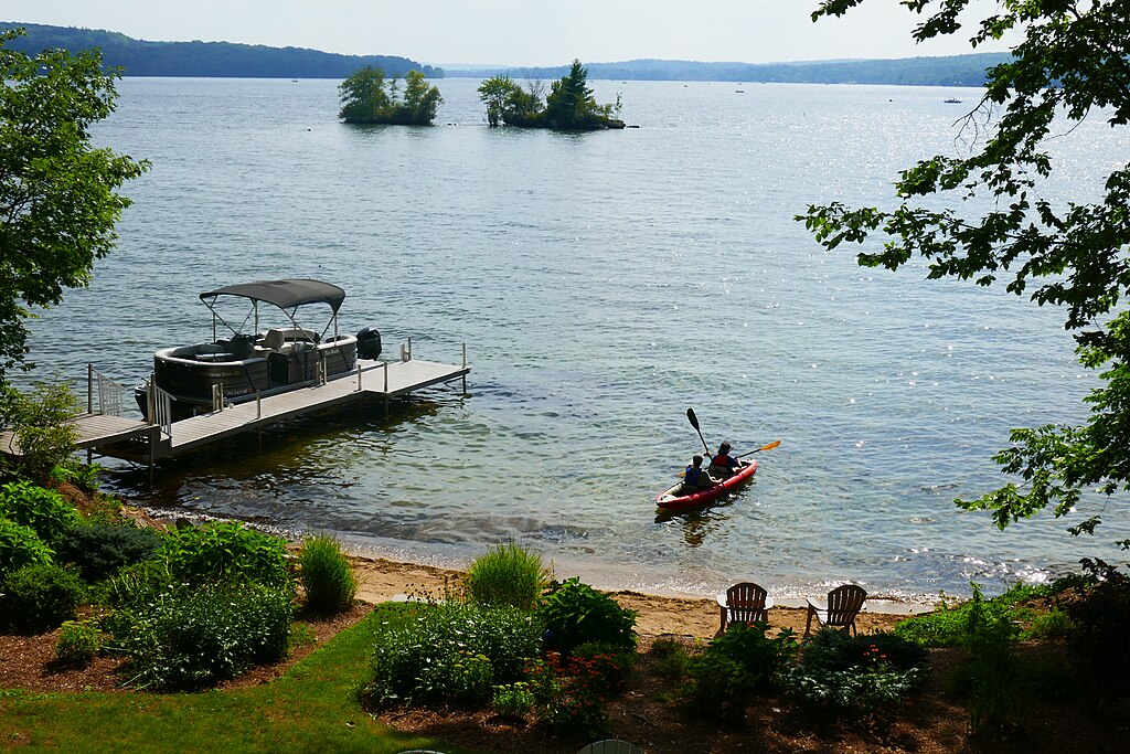
Lake Winnisquam
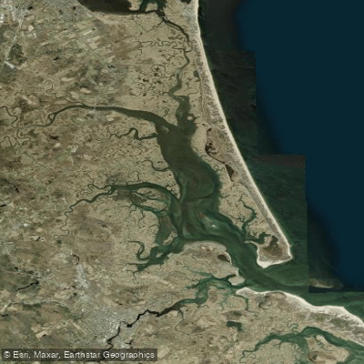
Plum Island Sound
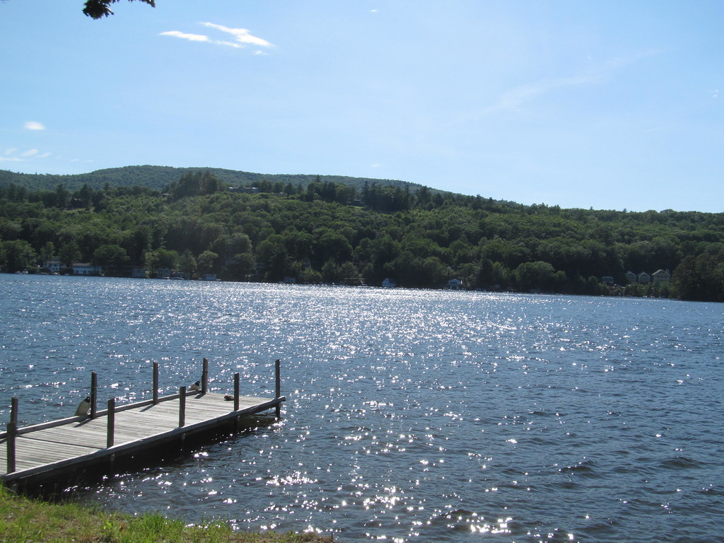
Lake Winnipesaukee
Explore New Hampshire waters
Top paddling waters
Popular Cities
Loading popular cities...
Explore near Massabesic Lake
Access points
Nearby waters
More in New Hampshire

Smarter Paddling Starts in the App.
Paddleways gives you everything you need to plan smarter, paddle better, and own every trip from first launch to takeout.