Umbagog Lake
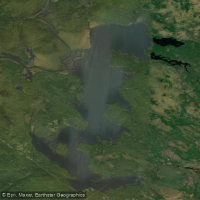
Umbagog Lake
- Boat Ramps
- 4
- Access Points
- 4
- Campsites
- 1
Lake Umbagog straddles the border of New Hampshire and Maine, offering paddlers a scenic wilderness experience. This large, shallow lake covers approximately 8,500 acres and stretches about 12 miles in length. Its waters have a distinctive brownish hue due to decomposing plant material.
Paddlers should be aware that Umbagog can become treacherous in windy conditions. With an average depth of only 15 feet, the lake is prone to kicking up significant waves and whitecaps when the wind picks up. Waves of 3 feet or more are possible, particularly when winds blow from the north or south across the lake's long fetch. Inexperienced paddlers should exercise caution and stay close to shore in rough conditions.
The lake features numerous islands and rocky coves to explore. Three rivers empty into Umbagog, providing opportunities for quiet water paddling. The Magalloway River, accessible from Route 16 northeast of Errol, offers a scenic route through marshlands before joining the lake.
Wildlife viewing is a highlight, with Umbagog boasting New Hampshire's largest concentration of nesting loons and ospreys. Bald eagles also nest in the area. The surrounding Lake Umbagog National Wildlife Refuge covers over 16,000 acres, much of it only accessible by boat.
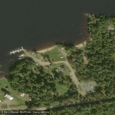
Camping options include 34 remote paddle-in sites around the lake, which can be reserved online through the New Hampshire State Parks system. These primitive sites typically include a fire ring and picnic table. A "thunder box" serves as a basic toilet facility. The main campground offers additional amenities like hot showers, a small store, and drive-in sites.
For the best experience, visit after Labor Day when crowds thin out. However, be sure to make advance reservations if paddling earlier in the season, as the lake is popular. Umbagog offers enough variety to keep paddlers engaged for several days, making it suitable for both short trips and extended explorations.
Water access, boat ramps & amenities
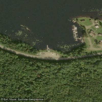
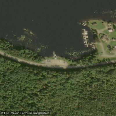
Learn how to get on Umbagog Lake. Uncover great paddling access points, boat ramps, and all the facilities you need for an unforgettable day on the water. Some locations shown may border or include private property. Always check property boundaries and applicable regulations before visiting. PaddleWays's Public & Private Land layer can help you plan your access with confidence.
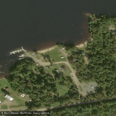
Paddle smarter with real-time insights
Whether you're en route and conditions shift or you're looking for the best spot based on current flows, we enable you to make informed decisions on the fly.








Find Places to Paddle

Over 400,000 Places to Paddle
Every user gets free access to launch points, boat ramps, and public property parcels.


Water and weather conditions (10 day forecast)
See the best times to paddle Umbagog Lake and check the forecast before you go.
No forecast data available.
Paddling near Umbagog Lake
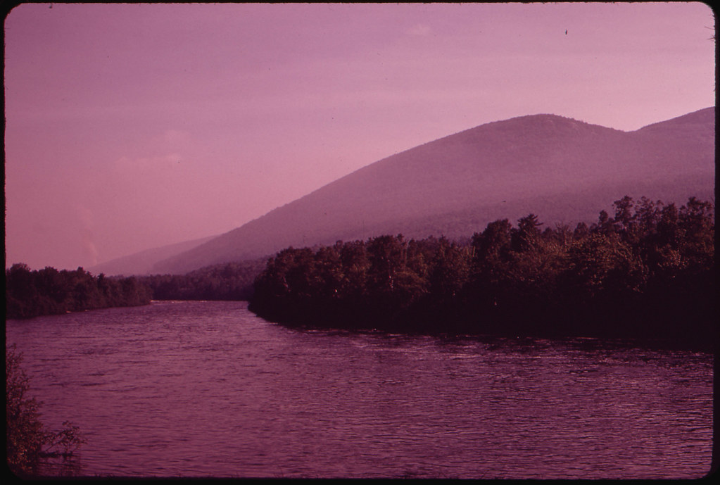
Androscoggin River
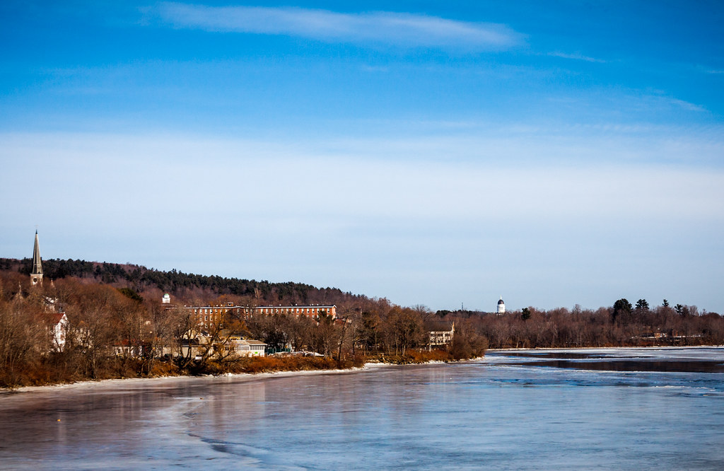
Kennebec River
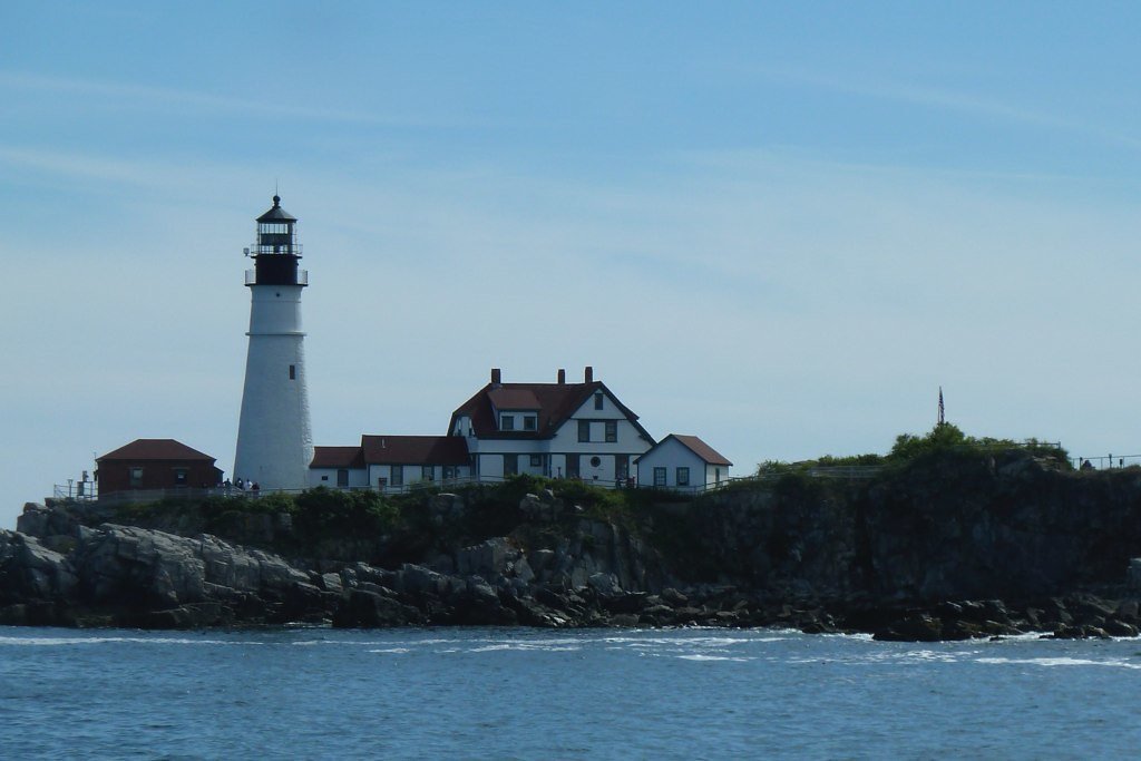
Casco Bay
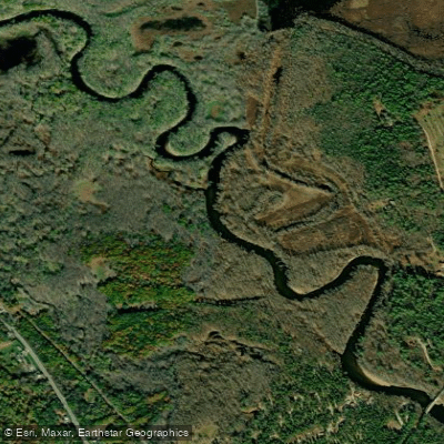
Saco River
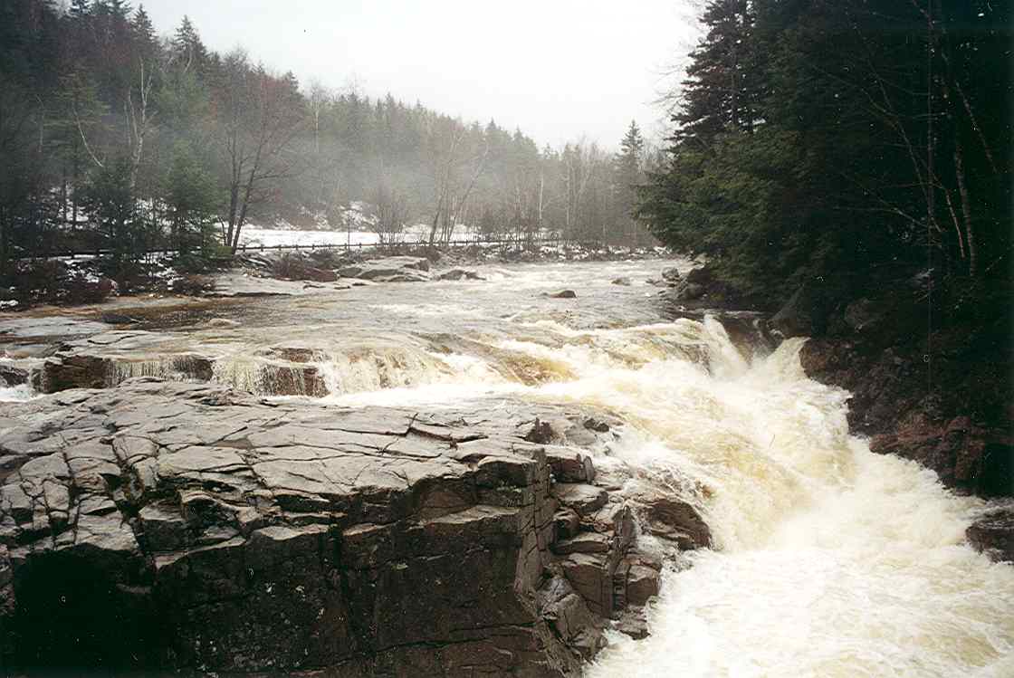
Swift River
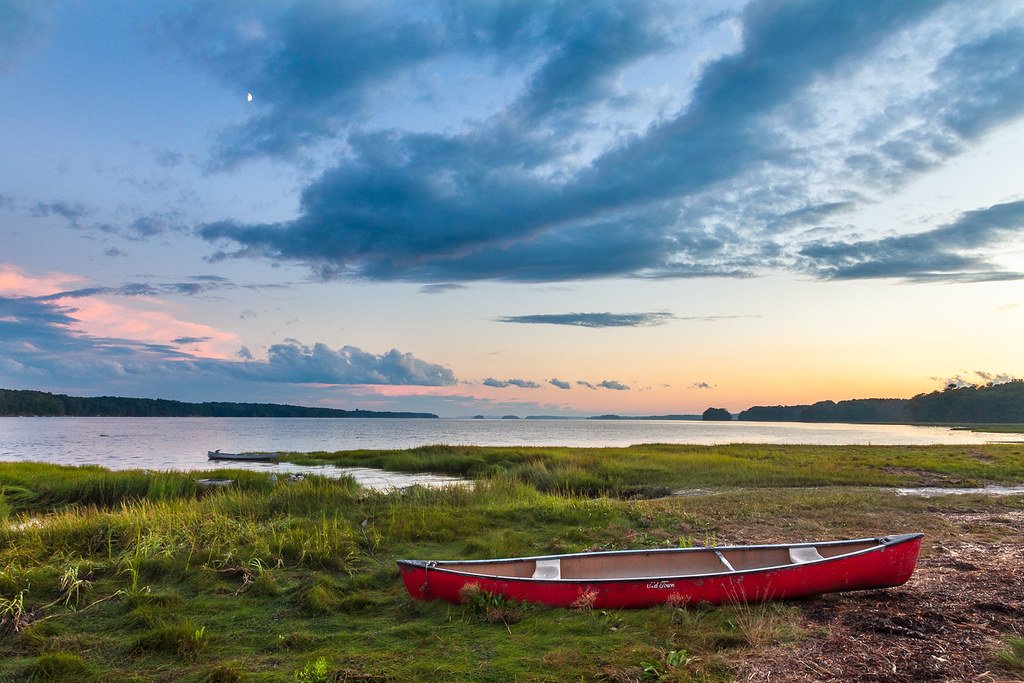
Maquoit Bay
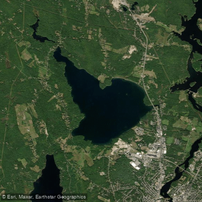
The Basin
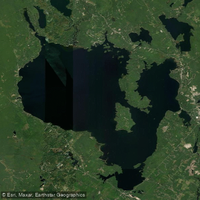
Sebago Lake
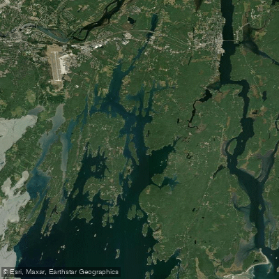
New Meadows River
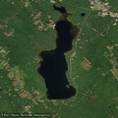
Tripp Pond
Explore New Hampshire waters
Top paddling waters
Popular Cities
Loading popular cities...
Explore near Umbagog Lake
Access points
Nearby waters
More in New Hampshire

Smarter Paddling Starts in the App.
Paddleways gives you everything you need to plan smarter, paddle better, and own every trip from first launch to takeout.