Ossipee Lake
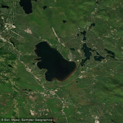
Ossipee Lake
- Boat Ramps
- 3
- Access Points
- 4
- Campsites
- 10
Ossipee Lake in New Hampshire offers diverse paddling opportunities in a scenic setting surrounded by mountains. The lake has a public boat launch at Pine River off Route 16 to the south, providing easy access for kayaks and canoes. With over 2,000 feet of sandy shoreline, paddlers can enjoy beaches and swimming areas. The lake is known for its bountiful fishing, with species including bass, trout, pickerel, and perch.
The Ossipee Lake Natural Area on part of the shoreline is completely undeveloped, providing opportunities to view endangered species, rare plants, and archaeological sites. Paddlers may spot black bears, moose, muskrats, and otters. The lake is surrounded by the Ossipee Mountains, offering scenic views and hiking opportunities.
For a unique geological experience, paddlers can view the "ring dike" of the ancient Ossipee volcano from the water. The lake's pristine areas contain rare "sandy pond shore" ecosystems with plant species found nowhere else in the world.
Facilities for paddlers include boat rentals, with options for rowboats, pontoons, and powerboats available from local outfitters. Some campgrounds and resorts on the lake offer amenities like beaches and boat storage.
While specific paddling routes are not outlined, the lake can get busy with motorized boat traffic, especially on summer weekends. No specific paddling restrictions are mentioned, but standard boating regulations likely apply.
The lake's water quality is generally good, though increasing development has raised some concerns about long-term impacts. Summer water temperatures are typically comfortable for swimming and paddling.
Water access, boat ramps & amenities
Learn how to get on Ossipee Lake. Uncover great paddling access points, boat ramps, and all the facilities you need for an unforgettable day on the water. Some locations shown may border or include private property. Always check property boundaries and applicable regulations before visiting. PaddleWays's Public & Private Land layer can help you plan your access with confidence.
Paddle smarter with real-time insights
Whether you're en route and conditions shift or you're looking for the best spot based on current flows, we enable you to make informed decisions on the fly.








Find Places to Paddle

Over 400,000 Places to Paddle
Every user gets free access to launch points, boat ramps, and public property parcels.


Water and weather conditions (10 day forecast)
See the best times to paddle Ossipee Lake and check the forecast before you go.
No forecast data available.
Paddling near Ossipee Lake
Lake Winnipesaukee
Saco River
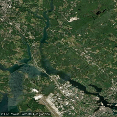
Piscataqua River
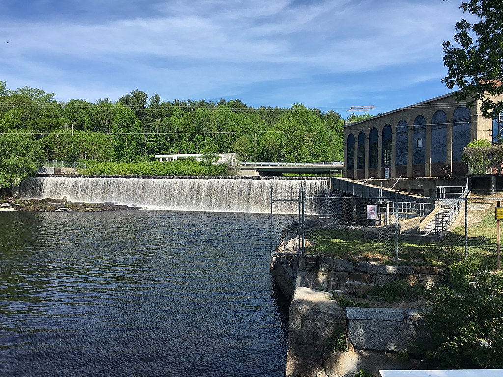
Salmon Falls River
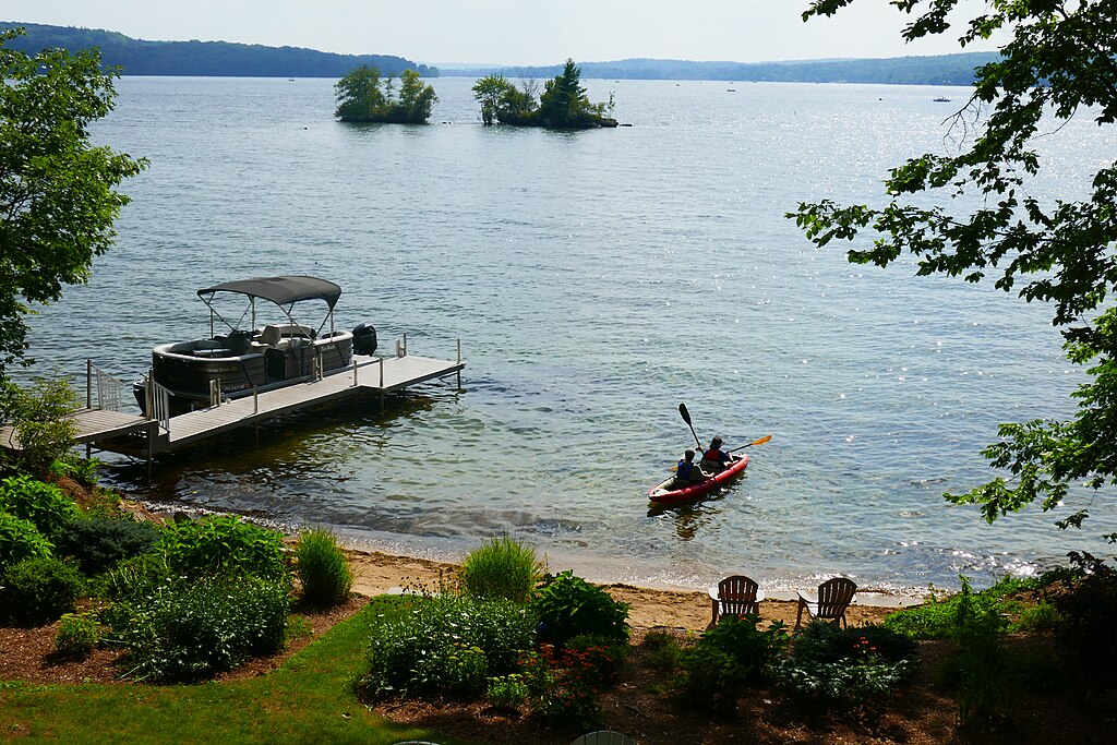
Lake Winnisquam
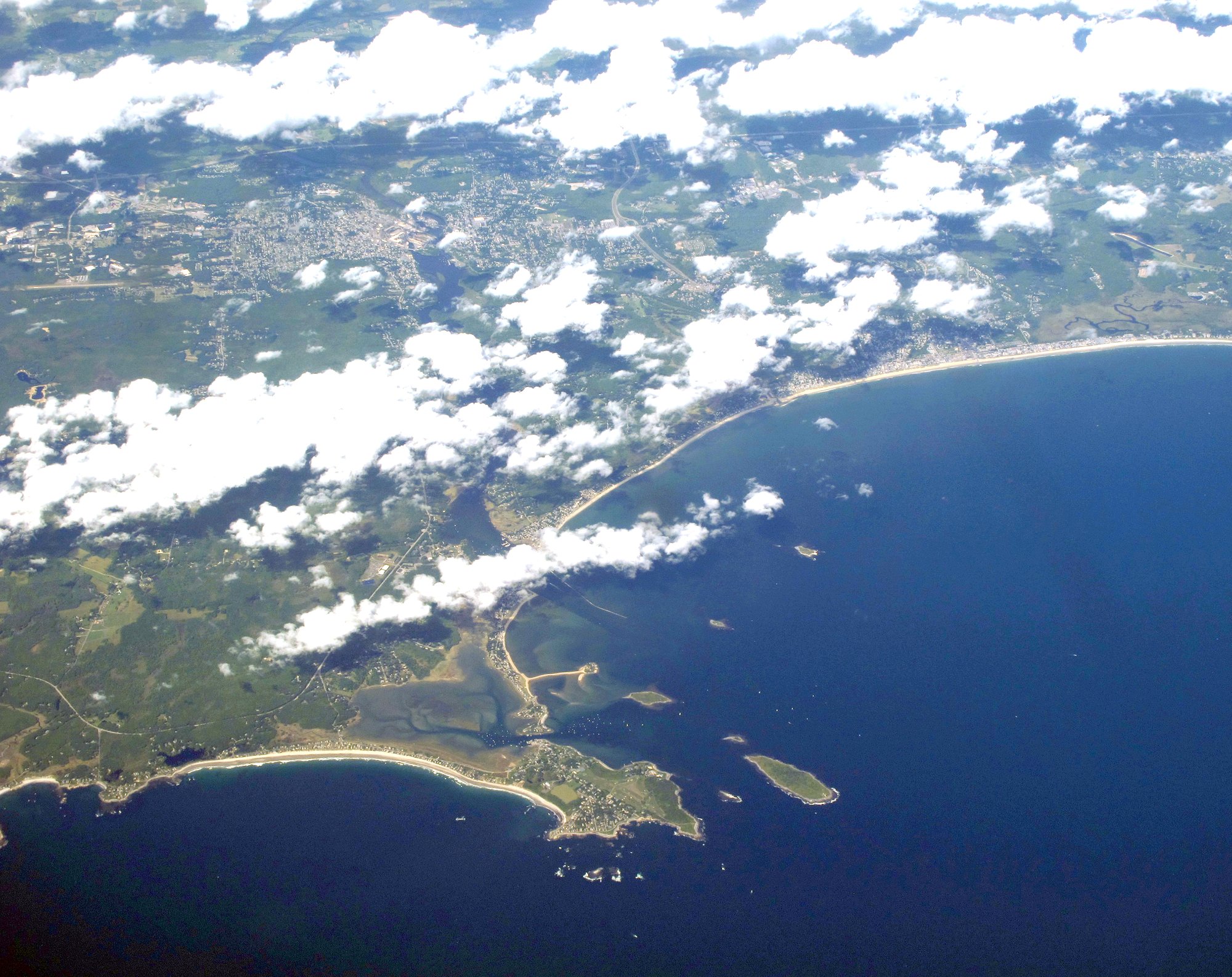
Saco Bay
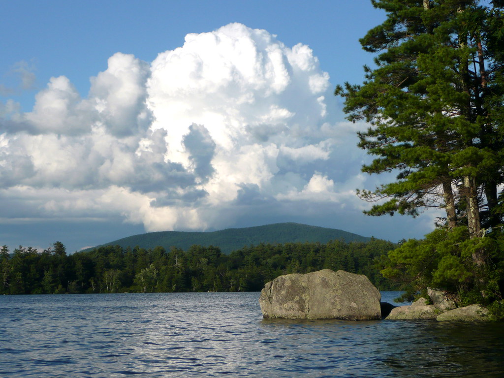
Squam Lake
Lamprey River
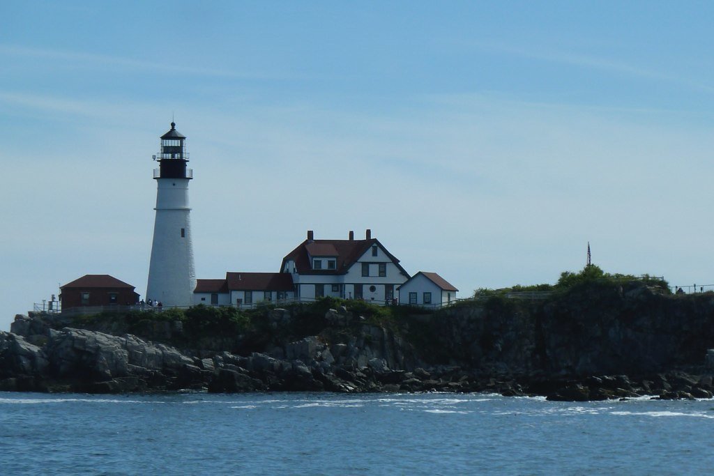
Casco Bay

Merrimack River
Explore New Hampshire waters
Top paddling waters
Popular Cities
Loading popular cities...
Explore near Ossipee Lake
Access points
Nearby waters
More in New Hampshire

Smarter Paddling Starts in the App.
Paddleways gives you everything you need to plan smarter, paddle better, and own every trip from first launch to takeout.