Merrimack River

Merrimack River
- Boat Ramps
- 36
- Access Points
- 58
- Campsites
- 9
The Merrimack River is a waterway that flows through central New Hampshire and northeastern Massachusetts. Beginning at the confluence of the Winnipesaukee and Pemigewasset Rivers in Franklin, NH, the Merrimack winds its way south for over 100 miles before emptying into the Atlantic Ocean at Newburyport, MA.
Paddlers on the Merrimack are treated to a variety of experiences, from peaceful flatwater stretches to exciting whitewater rapids. The upper section from Franklin to Concord offers a mix of gentle currents and Class I rapids, making it ideal for novice to intermediate paddlers. As the river flows through Manchester, it presents more challenging Class II-III rapids, including popular play spots like Arms Park and the 293 Wave.
The river's difficulty ranges from flatwater to Class III, accommodating paddlers of all skill levels. Beginners can enjoy calm stretches around Concord and Nashua, while more experienced kayakers can test their skills in Manchester's urban whitewater park.
Spring and early summer typically offer the best water levels for paddling, especially for those seeking whitewater thrills. However, water conditions can change rapidly, and paddlers should be prepared for varying difficulty levels. The river is generally navigable from late spring through fall, with calmer conditions prevailing in late summer and early autumn.
The Merrimack's banks host a rich ecosystem, with opportunities to spot wildlife such as bald eagles, great blue herons, and various waterfowl. The river corridor is lined with a mix of hardwood forests, wetlands, and occasional sandy beaches, providing a scenic backdrop for paddlers.
Notable landmarks along the river include the Hannah Duston Memorial State Historic Site in Boscawen, the urban skyline of Manchester, and the confluence with the Nashua River. The river passes through or near several towns, including Franklin, Concord, Manchester, Nashua, and Lowell, offering numerous access points and amenities for paddlers.
Historically, the Merrimack played a crucial role in the region's industrial development, powering textile mills in Manchester and Lowell. Today, it serves as an important recreational resource and drinking water source for many communities.
Safety considerations include being aware of dam releases, particularly in the Manchester area, and watching for motorboat traffic in wider sections. Paddlers should also be mindful of water quality, especially after heavy rains when combined sewer overflows can affect the river.
For those seeking a multi-day adventure, the entire length of the river from Franklin to Newburyport can be paddled in about a week, with numerous camping options along the way. Popular shorter overnight trips include the Franklin to Concord stretch and the Nashua to Lowell section.
Whether you're looking for a peaceful day float or an adrenaline-pumping whitewater experience, the Merrimack River offers a paddling opportunity for everyone, set against the backdrop of New Hampshire's natural beauty and rich history.
Water access, boat ramps & amenities
Learn how to get on Merrimack River. Uncover great paddling access points, boat ramps, and all the facilities you need for an unforgettable day on the water. Some locations shown may border or include private property. Always check property boundaries and applicable regulations before visiting. PaddleWays's Public & Private Land layer can help you plan your access with confidence.
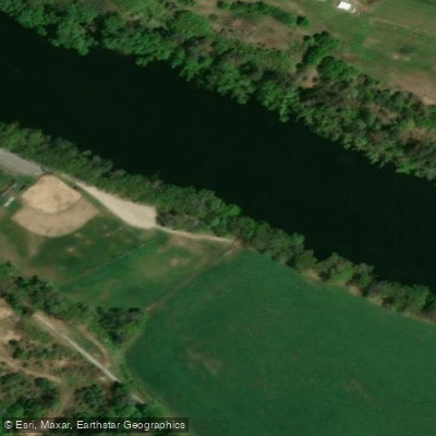
Boscawen Town Park Access
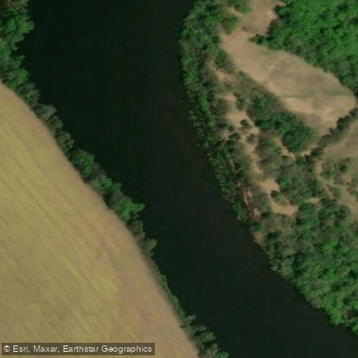
Riverland Conservation Area Access
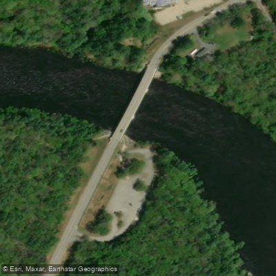
Merrimack River Access
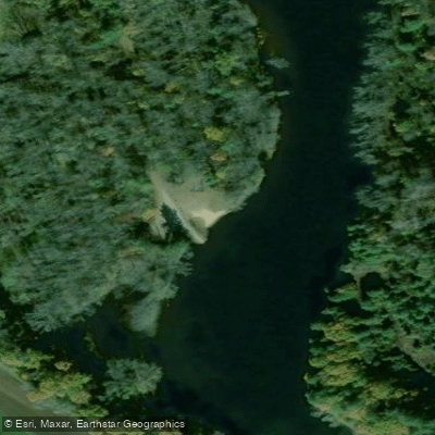
Merrimack County Access
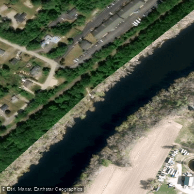
Reeds Ferry Access
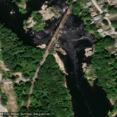
Merrimack Manchester Run Take-out
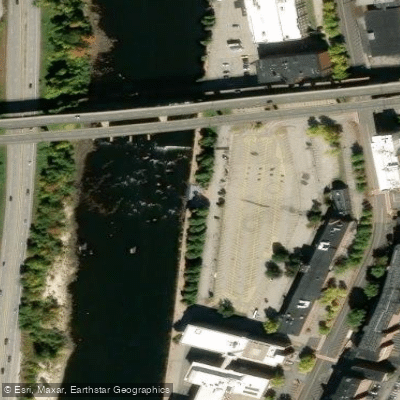
Arms Park Access
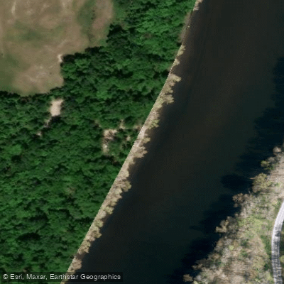
Thorntons Ferry Access
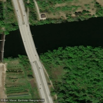
Merrimack River Access
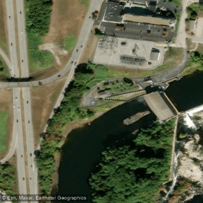
Merrimack Manchester Run Put-in
Paddle smarter with real-time insights
Whether you're en route and conditions shift or you're looking for the best spot based on current flows, we enable you to make informed decisions on the fly.








Find Places to Paddle

Over 400,000 Places to Paddle
Every user gets free access to launch points, boat ramps, and public property parcels.


Water and weather conditions (10 day forecast)
See the best times to paddle Merrimack River and check the forecast before you go.
MERRIMACK R NR GOFFS FALLS, BELOW MANCHESTER, NH
All Flow Stations
Paddling near Merrimack River
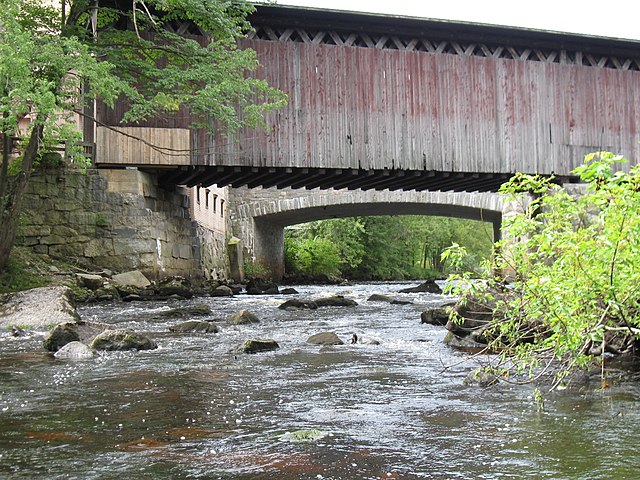
Contoocook River
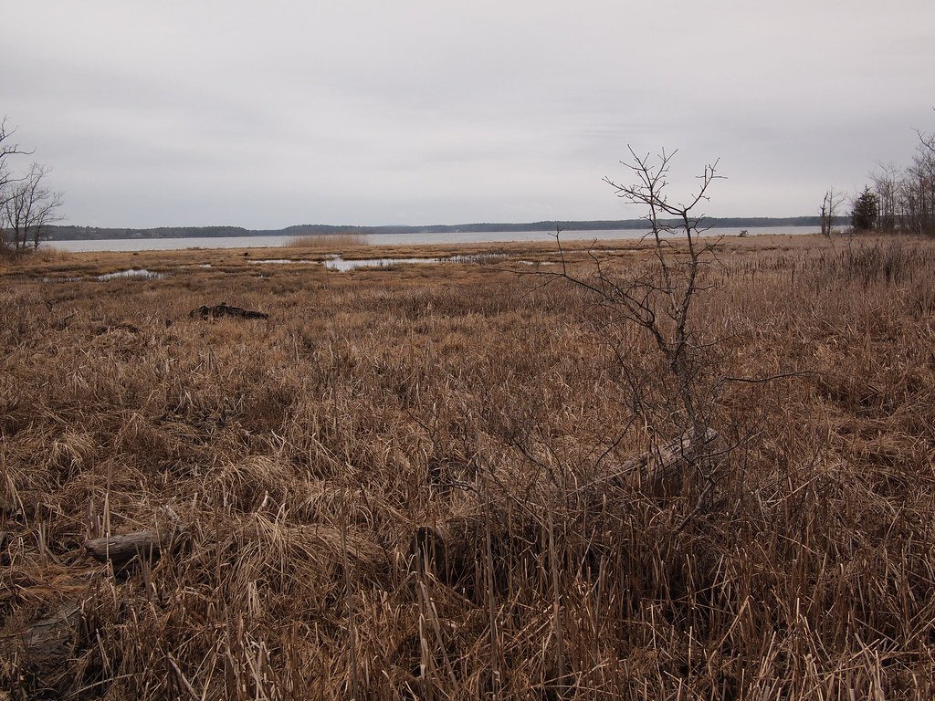
Great Bay
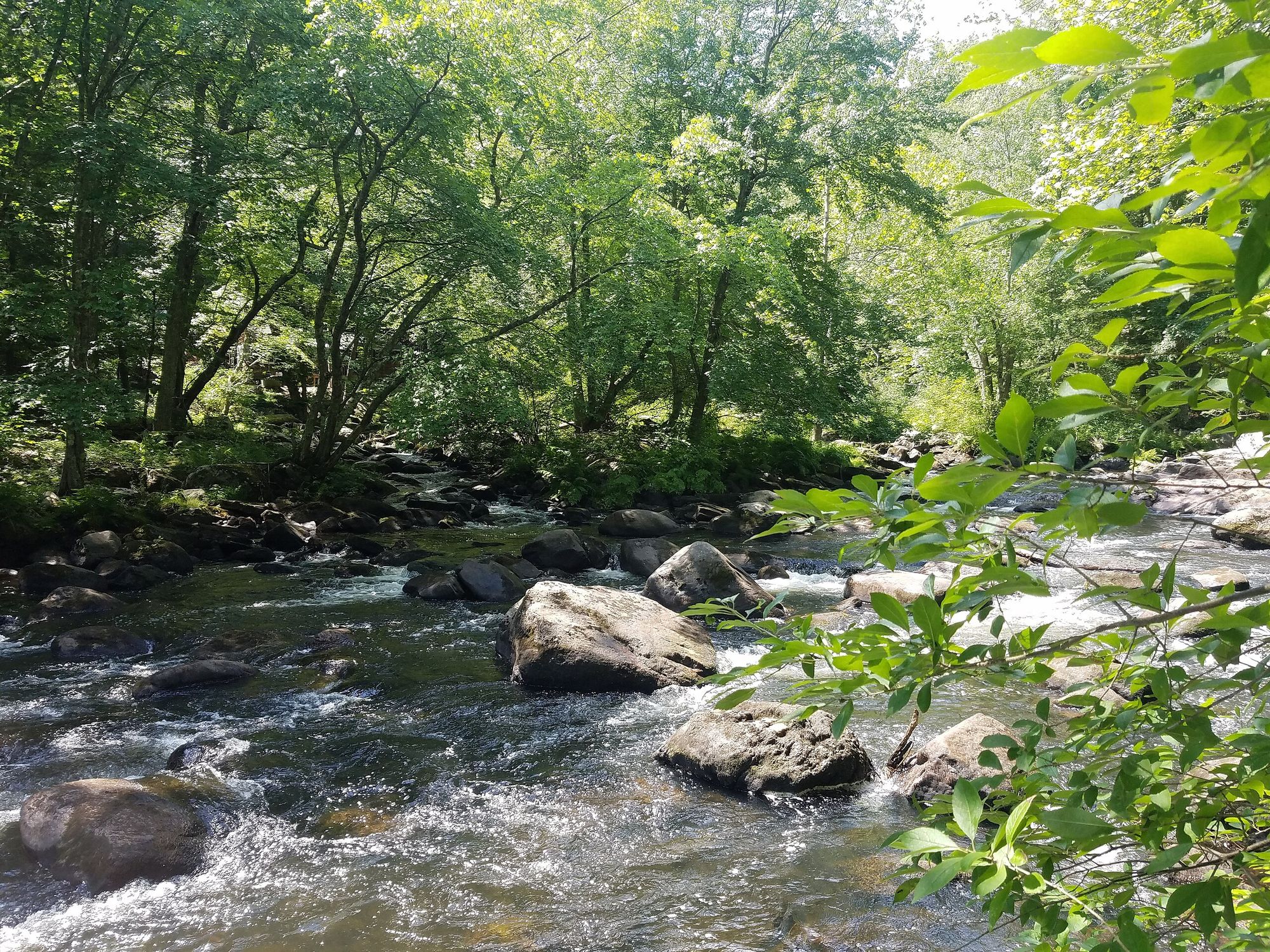
Souhegan River
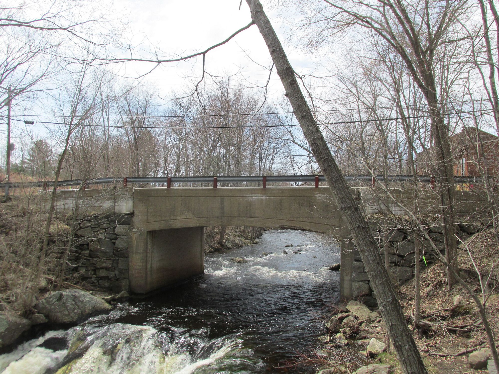
Exeter River
Piscataqua River
Lamprey River
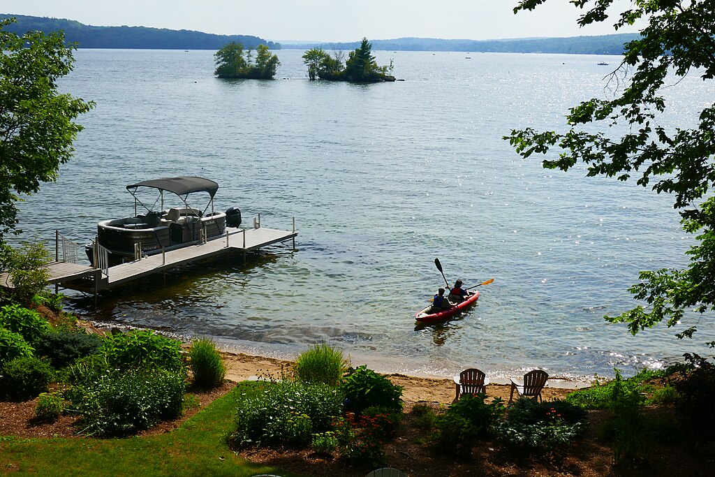
Lake Winnisquam
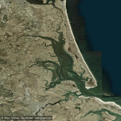
Plum Island Sound
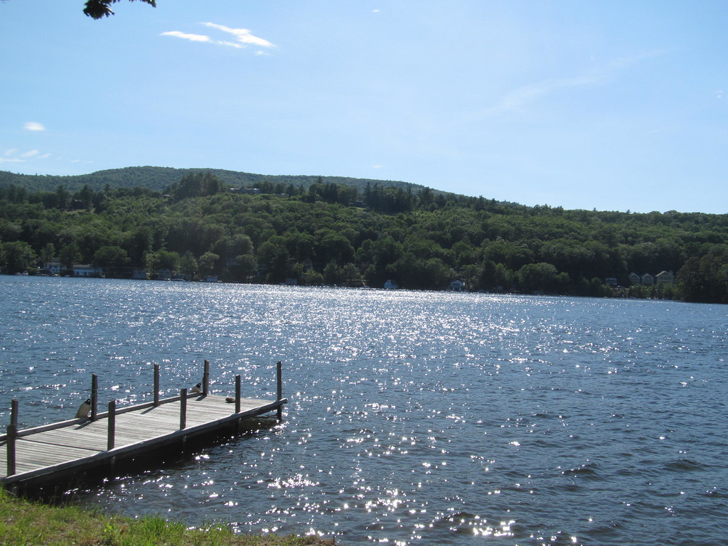
Lake Winnipesaukee
Explore New Hampshire waters
Top paddling waters
Popular Cities
Loading popular cities...
Explore near Merrimack River
Access points
- Boscawen Town Park Boat Ramp
- Boscawen Town Park Boat Ramp
- Merrimack River Boat Ramp
- Merrimack River Boat Ramp
- Arms Park Boat Ramp
- Riverland Conservation Area Boat Ramp
- Kiwanis River Front Park Boat Ramp
- Merrimack County Boat Ramp
- Merrimack County Boat Ramp
- Merrimack River Boat Ramp
- Kiwanis River Front Park Boat Ramp
- Kiwanis River Front Park Boat Ramp
- All 304 spots
Nearby waters
More in New Hampshire

Smarter Paddling Starts in the App.
Paddleways gives you everything you need to plan smarter, paddle better, and own every trip from first launch to takeout.