Curated by PaddleWays
RouteFlatwater
- Distance
- 1.9 mi
- Paddle time
- ~0.5 hrs
- Best for
- Canoe
- Put-in → take-out
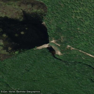
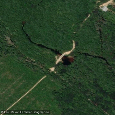
- Western Boulevard Access → Old Railroad Trestle Access
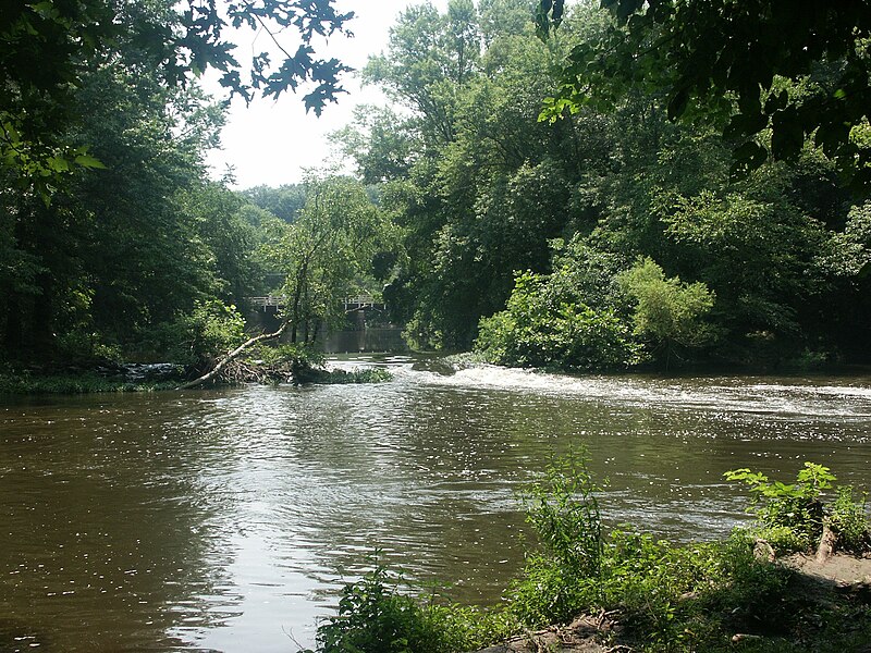
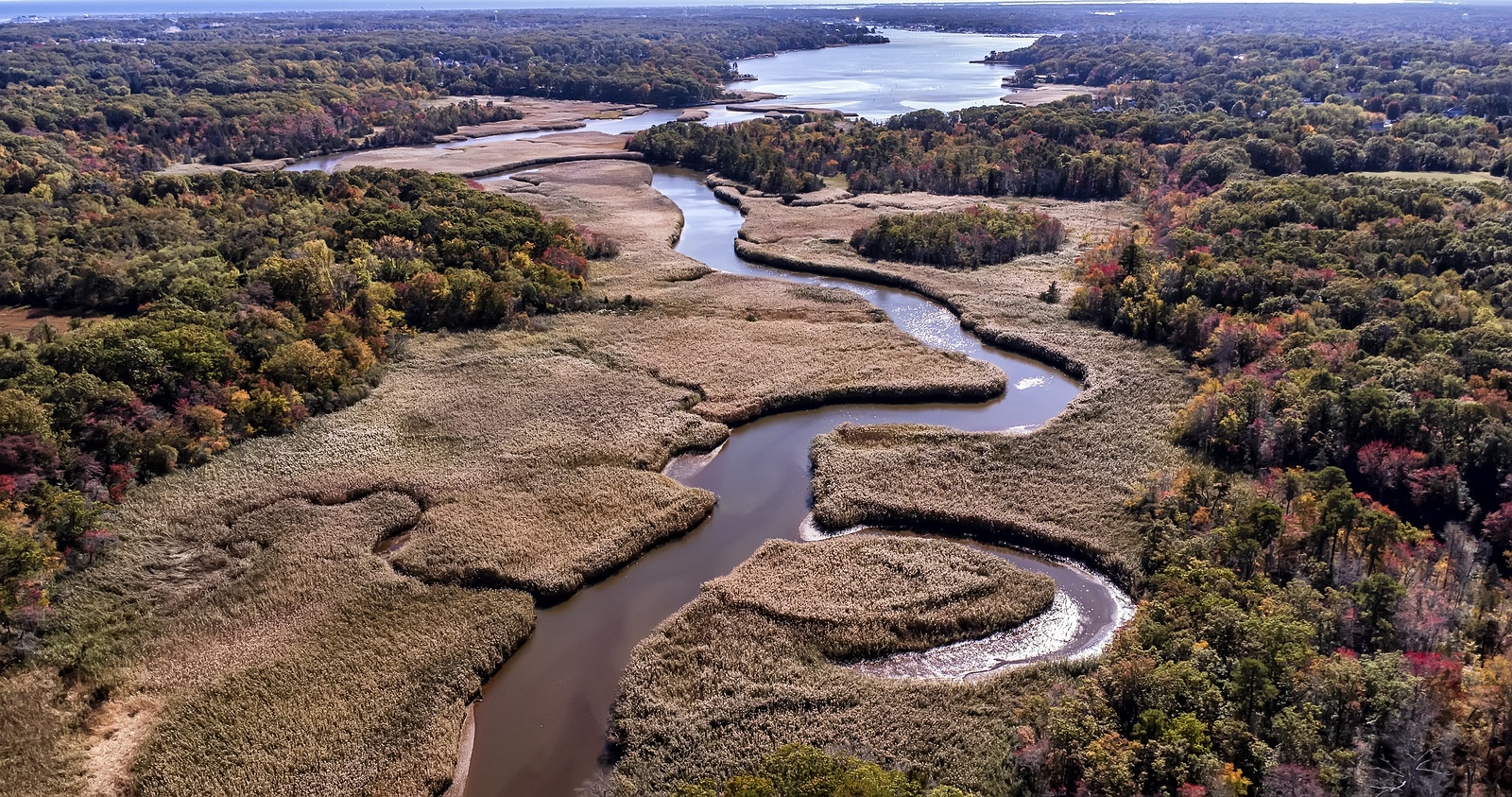
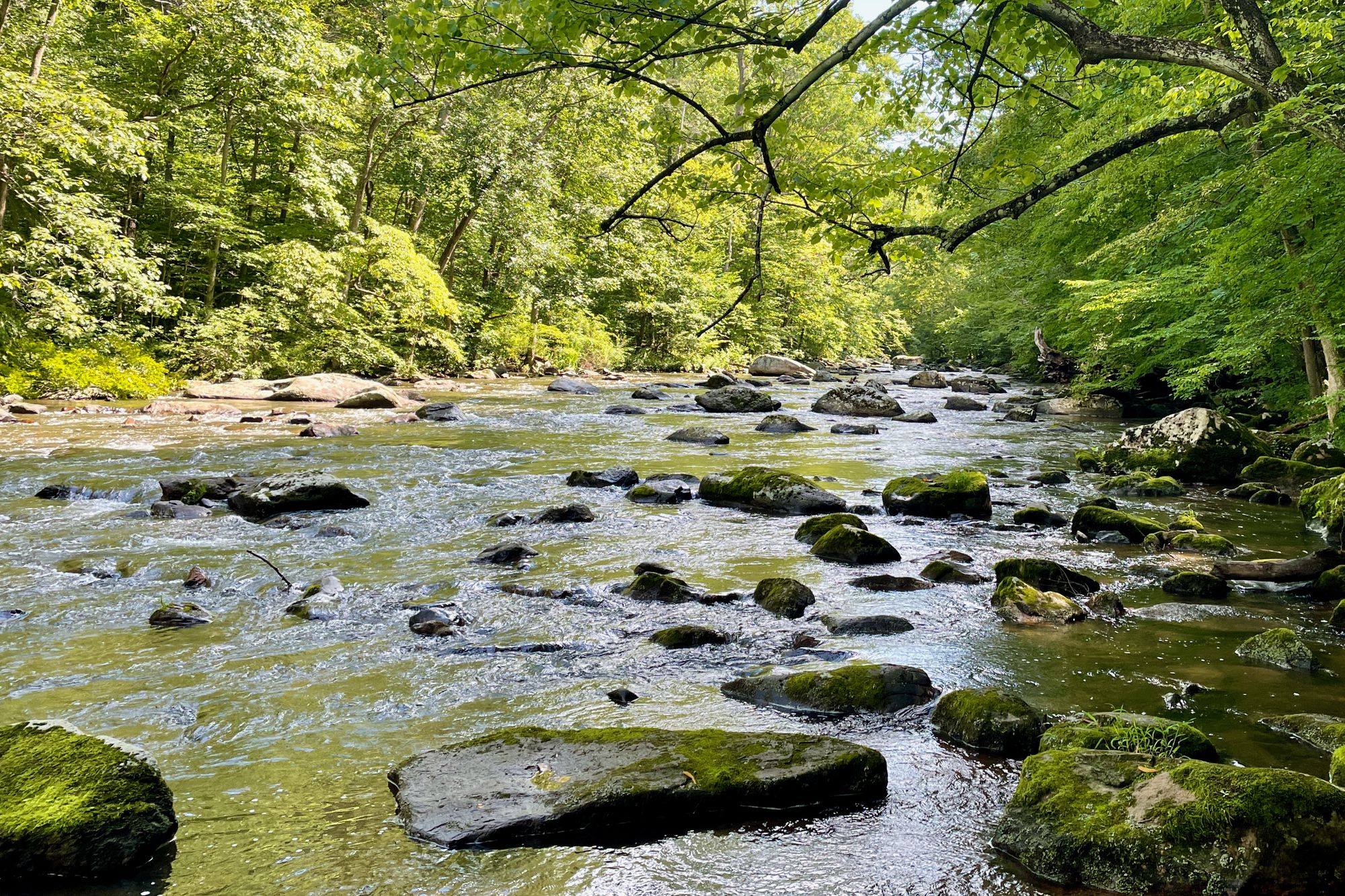
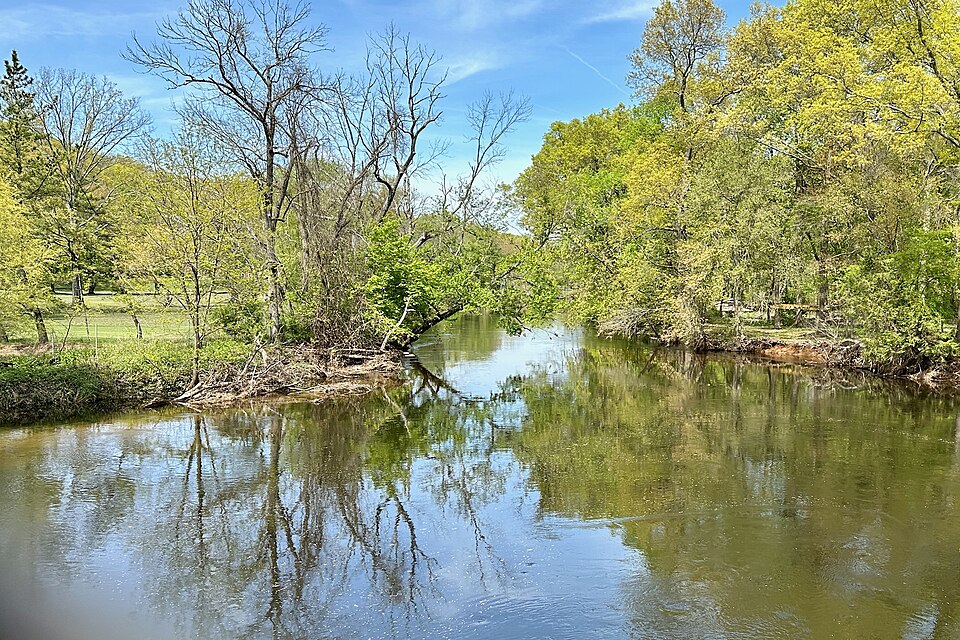
Cedar Creek flows approximately 19 miles through Ocean County's Pine Barrens before emptying into Barnegat Bay. The waterway begins at the confluence of Chamberlain Branch and Cooks Branch at Bamber Lake's spillway, winding through Berkeley Township and Lacey Township. Its tea-colored waters, stained by tannins from Atlantic white cedar and iron-rich soil, cut a serpentine path through one of the region's most pristine ecosystems.
The creek offers exceptional paddling opportunities within Double Trouble State Park, where multiple access points accommodate trips ranging from two to six hours. The most popular segments include Dover Forge to Ore Pond (2-3 hours), Ore Pond to White Bridge at Double Trouble Village (1 hour), and extended runs to the railroad trestle at Dudley Park or continuing to Lanoka Harbor. Paddlers navigate narrow channels averaging 10-20 feet wide, with the creek opening into broader sections near Sweetwater Reservoir and as it approaches tidal waters.
Skill requirements vary from easy to moderate. The upper sections demand basic maneuvering through tight turns and occasional blowdowns, while lower reaches involve portaging a dam below Double Trouble Reservoir. Water levels fluctuate seasonally, with spring and fall providing optimal conditions. Summer months can see shallower water requiring occasional dragging, though the creek remains navigable year-round for experienced paddlers.
The surrounding Pine Barrens ecosystem supports Atlantic white cedar swamps, pitch pine forests, and extensive cranberry bogs. Paddlers commonly observe great blue herons, wood ducks, and osprey, while beavers maintain active populations along the banks. The creek's clear waters reveal abundant aquatic vegetation, and spring brings blooms of wild orchids and pitcher plants in adjacent wetlands.
Double Trouble Village stands as the creek's most significant landmark, a preserved cranberry-processing town dating to the 1760s. The historic sawmill and packing house illustrate the region's industrial heritage. The creek powered multiple mills throughout the 18th and 19th centuries, with Dover Forge representing one of several iron-working operations that once lined these waters.
Primary access points include Dover Forge off Dover Road (CR 618), Ore Pond off Pinewald-Keswick Road (CR 618), White Bridge within Double Trouble State Park, and downstream locations at Western Boulevard, Dudley Park near the railroad trestle in Lanoka Harbor, and Berkeley Island County Park where the creek meets Barnegat Bay.
Paddlers must portage at the Double Trouble dam and navigate through a "petrified forest" of standing dead trees in the reservoir. Ticks are prevalent from April through November. The creek flows through protected state parkland for most of its length, with camping prohibited but day-use encouraged. No motorized watercraft are permitted upstream of the Garden State Parkway.
Curated routes
Hand-picked by the PaddleWays team, with put-ins, take-outs, paddle times and the hazards along the way.
RouteFlatwater
RouteFlatwater
RouteFlatwater
RouteFlatwater
RouteFlatwater
Hazards
No paddler has reported a hazard here yet, so these are the dams, falls and big rapids on our map. Hazards change with flows and storms, so check them before you launch.
From the community
Nobody has shared a trip on Cedar Creek yet. Paddle it, then tell the next paddler how it went.
Katherine M. •
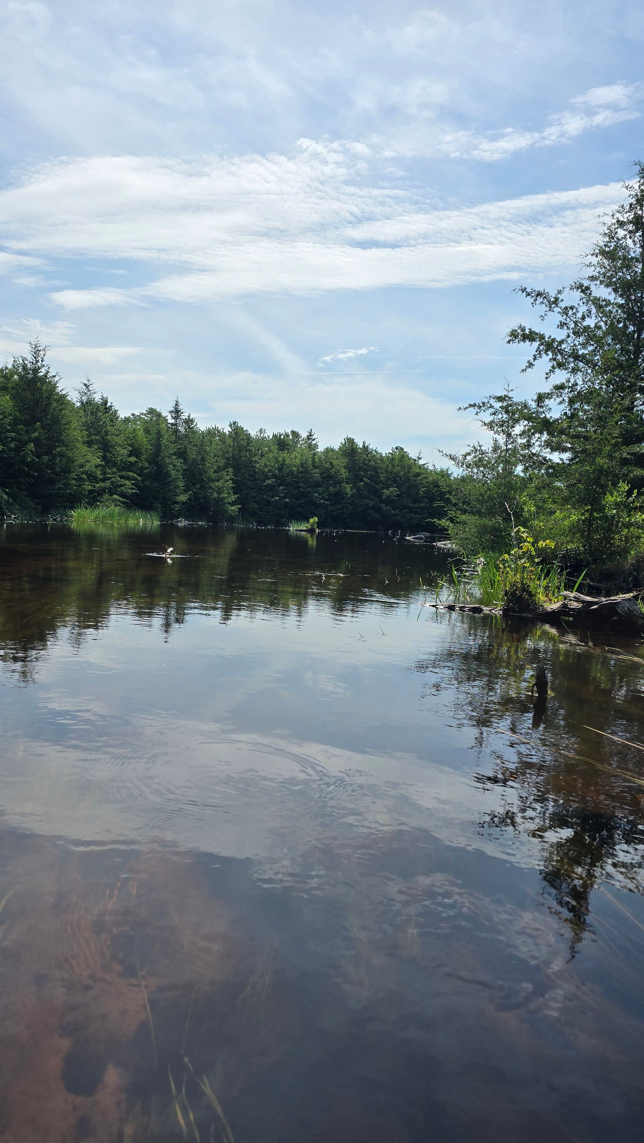
My favorite river! Beautiful places to swim or picnic throughout, and lots of wildlife- beaver dams upstream of ore pond should be noted for people new to the river. The tannins in the clear water make it the color of tea.
See exactly where the public can get on and off the river. Launch points and boat ramps are paired with PaddleWays' public land data so you know where you can legally land.
Public shoreline
81%of the river's shoreline is public
Flows, weather and a route-by-route verdict, so you know which stretch of the Cedar Creek is worth paddling today.
Live flows, marked hazards and fresh trip reports from paddlers who were just on the water, all in one place.





Every user gets free access to launch points, boat ramps, and public property parcels.


Loading popular cities...
PaddleWays gives you everything you need to plan smarter, paddle better, and own every trip from first launch to takeout.