False Hook Channel
- Saltwater
- Channel
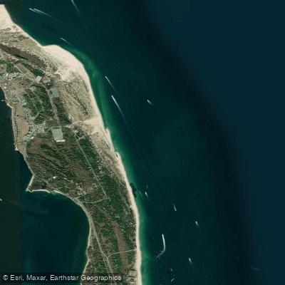
False Hook Channel
- Saltwater
- Channel
- Sq. miles
- 0.7
- Boat Ramps
- 0
- Access Points
- 0
- Campsites
- 2
False Hook Channel is a coastal navigational channel located off the Atlantic coast of New Jersey, specifically paralleling the beaches of Sandy Hook. It is a deep-water cut that runs very close to the shoreline, within easy casting distance of the beach. The area around the tip of Sandy Hook was historically part of the old False Hook Channel, and the channel is known for variable and sometimes sudden depth changes, with reports of depths dropping from 40 feet to much shallower. For paddlers, this is a dynamic, open-ocean environment. The channel lies directly adjacent to Atlantic Ocean beaches, resulting in significant exposure to wind and waves. Paddlers must be prepared for strong currents influenced by the tides and potential surf conditions at any beach access points. The channel is a designated boating area, and personal watercraft are explicitly prohibited from operating within it as per National Park Service regulations at the Gateway National Recreation Area, Sandy Hook Unit. This regulation suggests the area is managed for habitat protection and safety, but it does not ban human-powered craft like kayaks or stand-up paddleboards. Paddlers should expect boat traffic within the channel and must exercise caution, particularly when crossing. Access would logically be from the public beaches of Sandy Hook. The experience is characterized by its maritime setting, with views of the open Atlantic, Sandy Hook's beaches, and passing commercial and recreational vessels.
Water access, boat ramps & amenities
Learn how to get on False Hook Channel. Uncover great paddling access points, boat ramps, and all the facilities you need for an unforgettable day on the water. Some locations shown may border or include private property. Always check property boundaries and applicable regulations before visiting. PaddleWays's Public & Private Land layer can help you plan your access with confidence.
Paddle smarter with real-time insights
Whether you're en route and conditions shift or you're looking for the best spot based on current flows, we enable you to make informed decisions on the fly.








Find Places to Paddle

Over 400,000 Places to Paddle
Every user gets free access to launch points, boat ramps, and public property parcels.


Tides, wind & water conditions (10 day forecast)
On open water, wind and tide matter as much as the weather. See the best times to paddle False Hook Channel and check the marine forecast before you launch.
Loading tide predictions…
Paddling near False Hook Channel

Raritan River

Hudson River
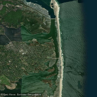
Shrewsbury River
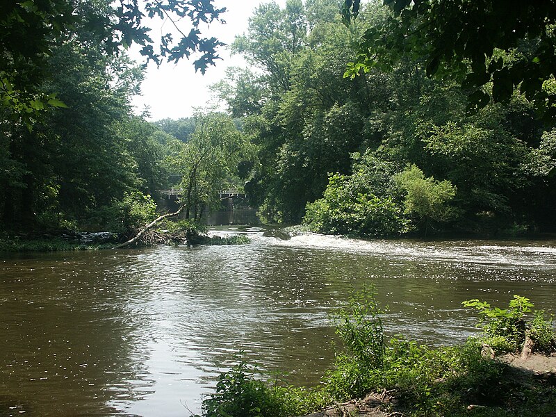
Millstone River
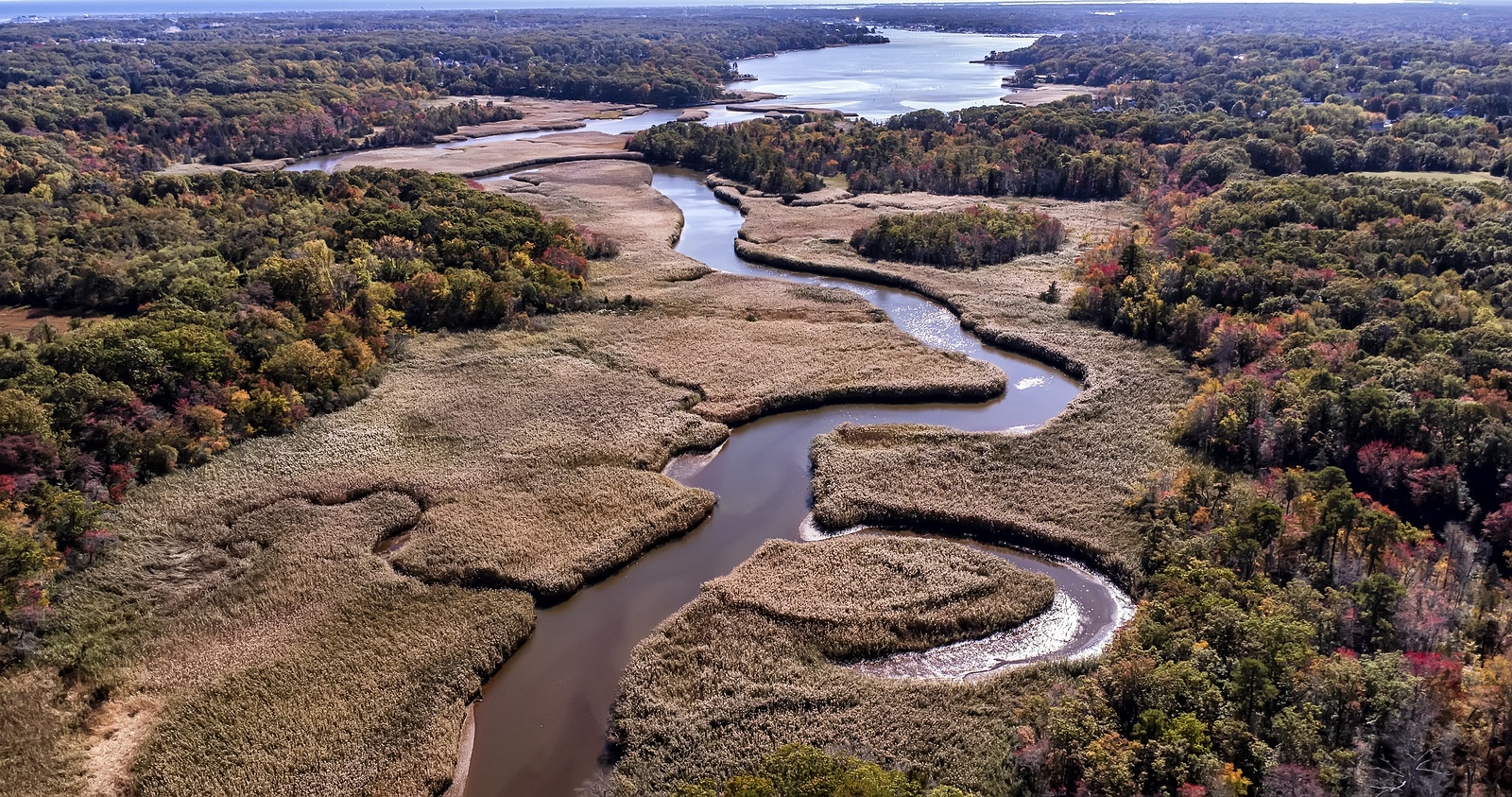
Manasquan River
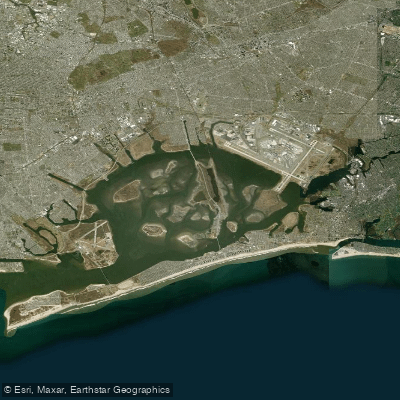
Jamaica Bay

Delaware River
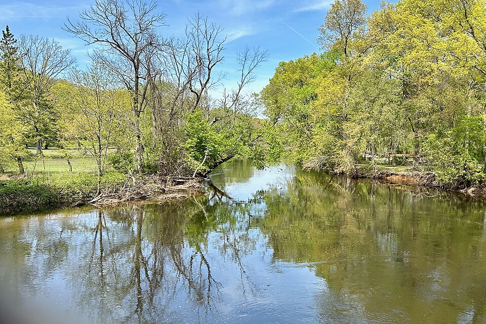
Rockaway River
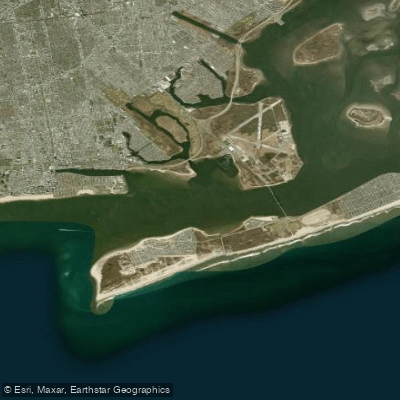
Rockaway Inlet
South Branch Raritan River
Explore New Jersey waters
Top paddling waters
Popular Cities
Loading popular cities...
Explore near False Hook Channel
Access points
Nearby waters
More in New Jersey

Smarter Paddling Starts in the App.
Paddleways gives you everything you need to plan smarter, paddle better, and own every trip from first launch to takeout.