Curated by PaddleWays
RouteClass I–II
- Distance
- 20.8 mi
- Paddle time
- ~7 hrs
- Best for
- Intermediate paddlers
- Put-in → take-out
- Route 31 Access → River Road Access
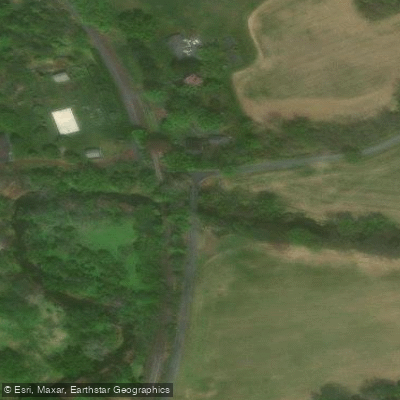
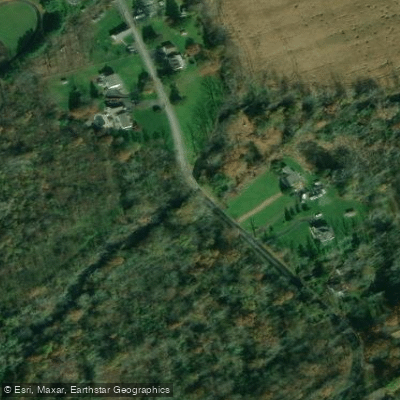
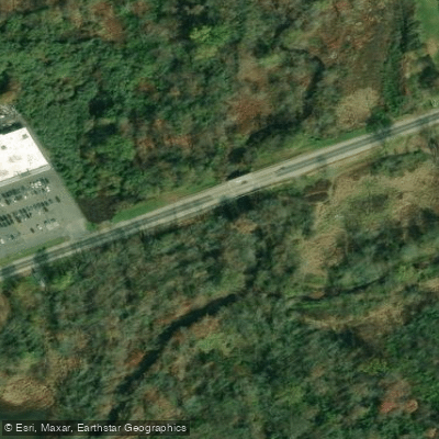
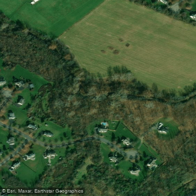
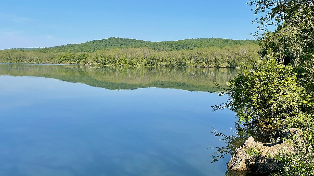
The Pohatcong Creek is a significant waterway in Warren County, New Jersey, flowing for 42.5 miles through a wide valley bordered by the Allamuchy and Pohatcong mountains to the northwest and the Schooley's and Musconetcong mountains to the southeast. This creek originates in the highlands of Warren County and flows generally southwest before joining the Delaware River near Phillipsburg.
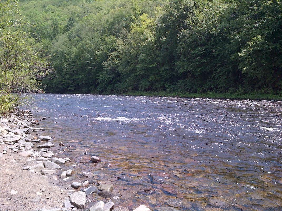
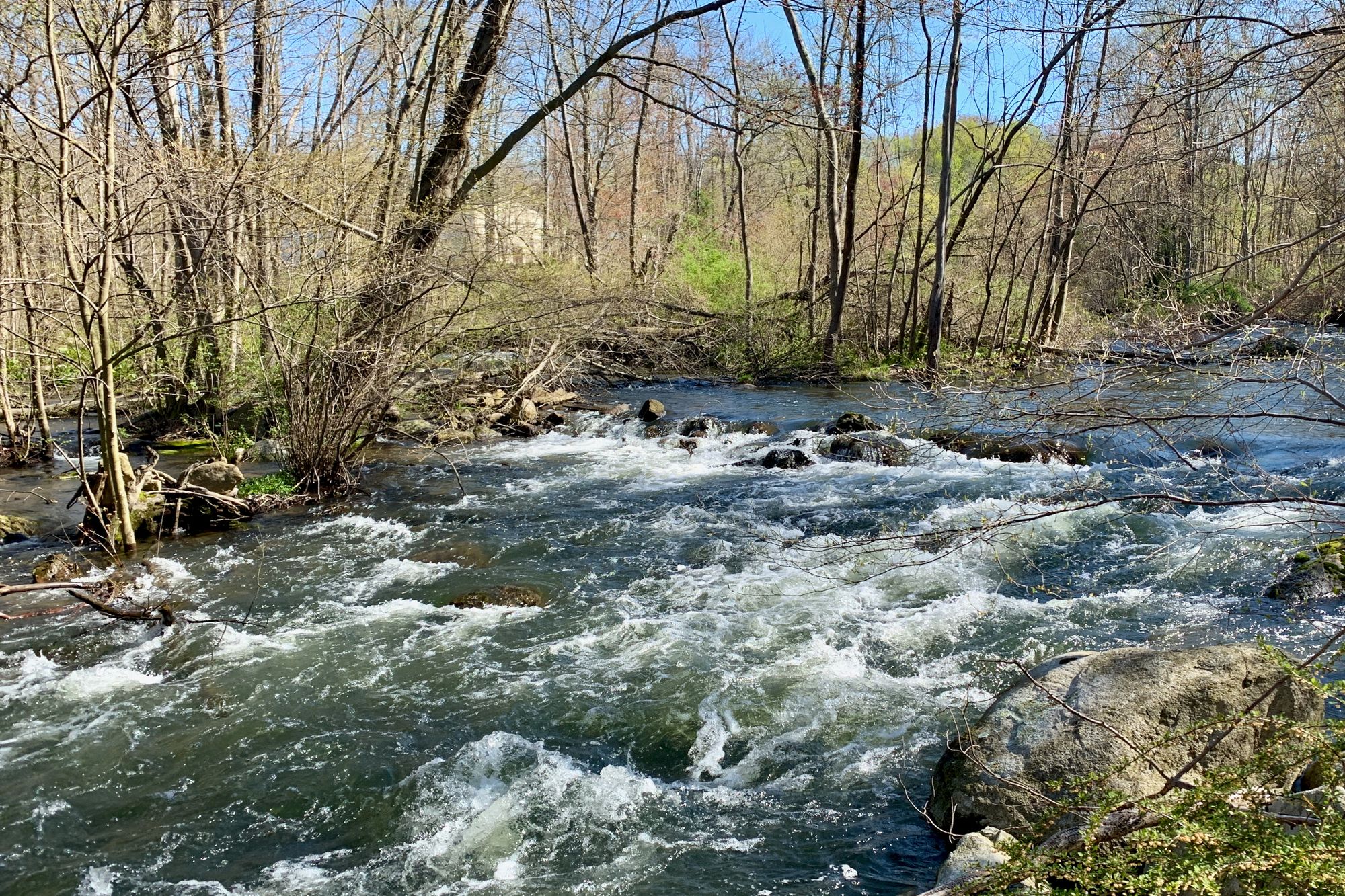
Paddling opportunities on the Pohatcong Creek range from peaceful flatwater sections to mild Class I-II rapids, making it suitable for beginner to intermediate paddlers. The creek offers several notable sections, including the scenic stretch from Mine Hill Road through Washington Township Park to Bread Lock Park. This 2-mile section showcases the Pohatcong Native Arboretum, featuring over 150 species of native trees and shrubs. A longer 12-mile paddle from Route 31 to the Delaware River confluence provides a more comprehensive experience of the watershed.
The creek's flow is generally most reliable in spring and early summer, with water levels potentially dropping later in the season. Paddlers should check conditions before embarking, especially during drier periods.
The Pohatcong Creek corridor supports a diverse ecosystem. The waterway is known for its excellent trout fishing, particularly for rainbow and brown trout. The surrounding natural areas harbor various native plant species and provide habitat for local wildlife.
Key points of interest include the 91-acre Washington Township Park, part of the Pohatcong Creek Natural Area, and Bread Lock Park, which features remnants of the Morris Canal Lock 7 West, walking trails, and historical exhibits. These sites offer opportunities to explore the area's natural beauty and industrial heritage.
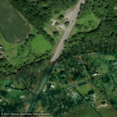
Access points are available near Mine Hill Road in Washington Township, at Route 31, and various locations downstream to the Delaware River. The nearby towns of Washington and Phillipsburg provide services for paddlers.
Historically, the Pohatcong Creek played a role in the region's industrial development, powering mills and contributing to the Morris Canal system. Today, it serves as an important recreational and natural resource for Warren County.
Paddlers should be aware of potential strainers and low-head dams, especially after high water events. As with all New Jersey waterways, a life jacket is required to be worn from November 15 to April 15, and carried at all times. While primarily suited for day trips, the creek's length and multiple access points could allow for multi-day adventures for those wishing to thoroughly explore this picturesque Warren County waterway.
Curated routes
Hand-picked by the PaddleWays team, with put-ins, take-outs, paddle times and the hazards along the way.
RouteClass I–II
Hazards
No hazards are marked on Pohatcong Creek yet. That is not the same as none being there: if you find one, report it for the next paddler.
From the community
Nobody has shared a trip on Pohatcong Creek yet. Paddle it, then tell the next paddler how it went.
See exactly where the public can get on and off the river. Launch points and boat ramps are paired with PaddleWays' public land data so you know where you can legally land.
Public shoreline
18%of the river's shoreline is public
Most of the riverbank is private. Launch, land and camp only at public access points.
Flows, weather and a route-by-route verdict, so you know which stretch of the Pohatcong Creek is worth paddling today.
All Flow Stations
Live flows, marked hazards and fresh trip reports from paddlers who were just on the water, all in one place.





Every user gets free access to launch points, boat ramps, and public property parcels.



Loading popular cities...
PaddleWays gives you everything you need to plan smarter, paddle better, and own every trip from first launch to takeout.