Curated by PaddleWays
RouteClass II
- Distance
- 6.6 mi
- Paddle time
- ~2 hrs
- Put-in → take-out
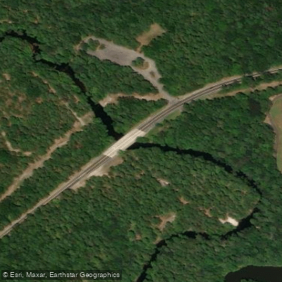
- Route 527 Bridge Access → Pine Beach Municipal Boat Ramp
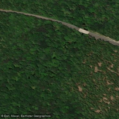
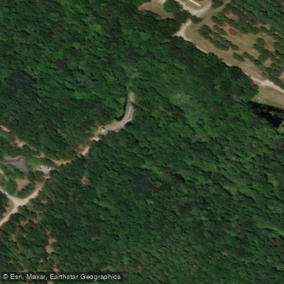
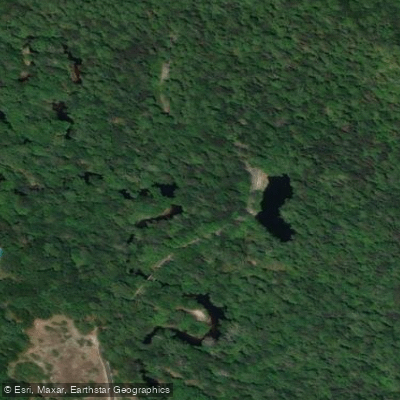
The Toms River is a scenic 41.7-mile waterway flowing through the heart of New Jersey's Pine Barrens. This diverse river offers paddlers a quintessential Pine Barrens experience, transitioning from narrow, winding streams to wider tidal sections as it makes its way to Barnegat Bay.
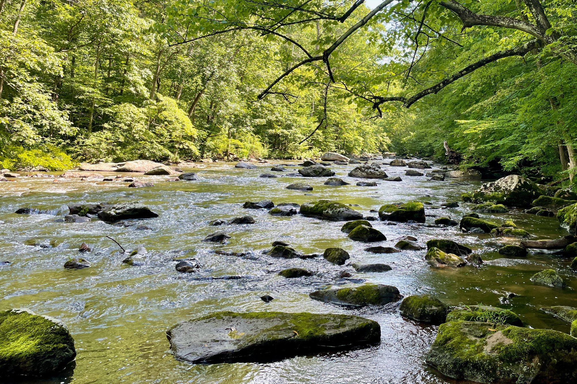
The upper reaches of the Toms River, starting near Browns Mills, present a classic Pine Barrens paddling adventure. Here, kayakers and canoeists navigate through dense forests, encountering frequent twists and turns, fallen trees, and occasional portages. The river current averages about 2 knots, providing enough flow to assist paddlers while still requiring skillful maneuvering. This section is best suited for intermediate paddlers comfortable with technical water reading and obstacle avoidance.
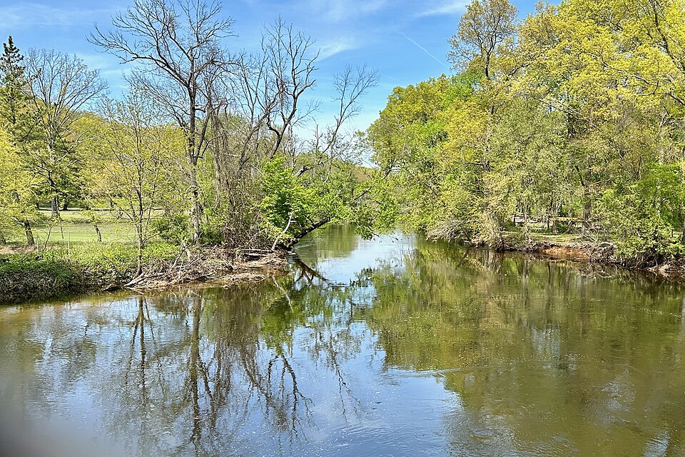
As the river progresses downstream, it widens and the surrounding landscape becomes more varied. The lower section, from the Route 527 crossing to downtown Toms River, offers a mix of wooded areas, grassy fields, and tidal marshes. This stretch is generally more forgiving and suitable for beginners, though some experience is still recommended due to potential wind and tidal influences.
The Toms River shines in spring and fall when water levels are optimal and the Pine Barrens showcase their seasonal beauty. Summer paddling is popular but can be crowded, especially on weekends. Winter trips are possible for well-prepared paddlers but require extra caution due to cold water temperatures.
Wildlife enthusiasts will appreciate the rich ecosystem along the Toms River. Keep an eye out for ospreys, bald eagles, great blue herons, and various waterfowl. The river and its banks are home to numerous fish species, turtles, and the occasional river otter.
Several access points make day trips on the Toms River convenient. Popular put-ins include upstream of Route 70, the Route 527 crossing, and various locations in Toms River proper. The town of Toms River serves as a major hub, offering amenities and historical attractions like the Toms River Seaport Museum. For those seeking a more leisurely paddle, the Money Island Beach area in Toms River provides calm waters perfect for beginners and families. Nearby, Cattus Island County Park offers additional paddling opportunities with its network of tidal creeks and access to Barnegat Bay.
Safety is paramount on the Toms River. Paddlers should be aware of tides in the lower sections, wear appropriate personal flotation devices, and be prepared for sudden weather changes. Local regulations may require permits for certain access points or parking areas, so check with local authorities before your trip.
While most paddlers enjoy day trips on the Toms River, multi-day adventures are possible for those willing to arrange shuttles and camping. A full river descent from the upper reaches to Barnegat Bay would make for an epic 2-3 day journey through the heart of the Pine Barrens.
The Toms River holds significant cultural and historical importance, having played a role in early American industry with its iron furnaces and sawmills. Today, it stands as a vital recreational resource and a testament to the unique ecology of the New Jersey Pine Barrens, offering paddlers a chance to explore one of the state's natural treasures.
Curated routes
Hand-picked by the PaddleWays team, with put-ins, take-outs, paddle times and the hazards along the way.
RouteClass II
Hazards
No hazards are marked on Toms River yet. That is not the same as none being there: if you find one, report it for the next paddler.
From the community
Nobody has shared a trip on Toms River yet. Paddle it, then tell the next paddler how it went.
See exactly where the public can get on and off the river. Launch points and boat ramps are paired with PaddleWays' public land data so you know where you can legally land.
Public shoreline
48%of the river's shoreline is public
Most of the riverbank is private. Launch, land and camp only at public access points.
Flows, weather and a route-by-route verdict, so you know which stretch of the Toms River is worth paddling today.
Live flows, marked hazards and fresh trip reports from paddlers who were just on the water, all in one place.





Every user gets free access to launch points, boat ramps, and public property parcels.



Loading popular cities...
PaddleWays gives you everything you need to plan smarter, paddle better, and own every trip from first launch to takeout.