Curated by PaddleWays
RouteClass III–IV
- Distance
- 23.6 mi
- Paddle time
- ~6 hrs
- Best for
- Experienced paddlers
- Put-in → take-out
- Tolby Trailhead Access → Cimarron Access
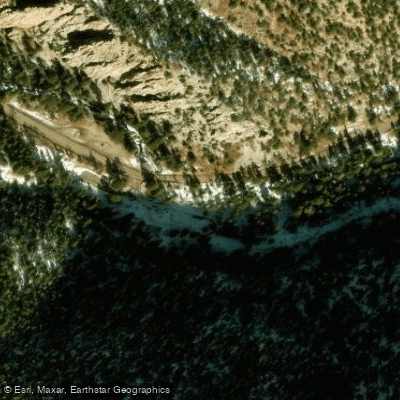
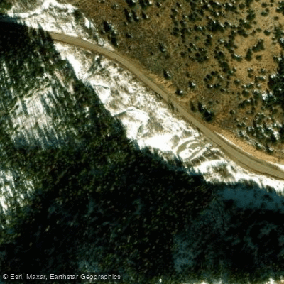
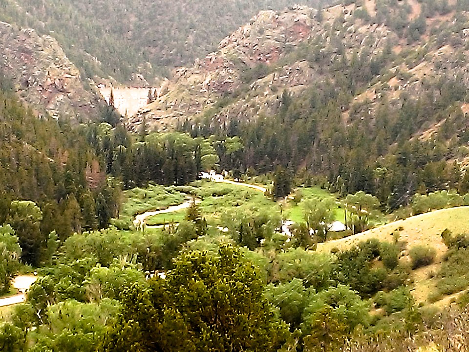
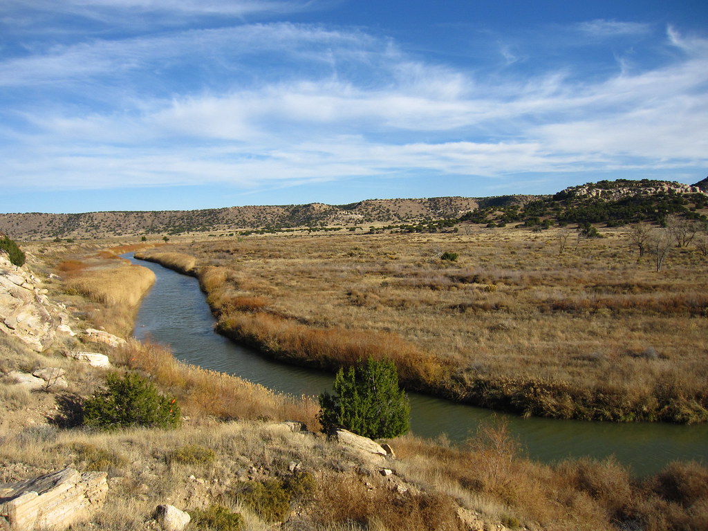
The Cimarron River in New Mexico originates at Eagle Nest Lake in the Sangre de Cristo Mountains and flows eastward through Cimarron Canyon before joining the Canadian River. This scenic mountain river runs approximately 35 miles through northern New Mexico, carving a picturesque path through steep canyons and pine forests.
For paddlers, the Cimarron offers several distinct sections with varying levels of difficulty. The upper 25-mile stretch from Eagle Nest Dam to the town of Cimarron provides the most challenging whitewater, with Class III-IV rapids winding through Cimarron Canyon. This section, known as the Eagles Nest Run, is best suited for experienced paddlers and is typically runnable during the spring snowmelt season from May to June. Below the town of Cimarron, an 8-mile section through Cimarron Canyon State Park offers more moderate Class II-III rapids, making it popular among intermediate paddlers and anglers. The lower 2.3-mile section near the confluence with the Canadian River features intense Class V whitewater for expert paddlers only.
The river's flow is heavily dependent on snowmelt and rainfall, with the best paddling typically occurring in late spring. During summer and fall, lower water levels are more suitable for fishing than paddling. The Cimarron is renowned for its trout fishing, with populations of brown, rainbow, cutthroat, and brook trout throughout its length.
Notable wildlife in the Cimarron Canyon includes mule deer, elk, black bears, and a variety of bird species. The canyon's steep walls are lined with ponderosa pines, creating a stunning backdrop for river activities.
Key access points include Eagle Nest Dam, Tolby Campground in Cimarron Canyon State Park, and various pullouts along Highway 64. The nearest towns are Eagle Nest at the river's source and Cimarron downstream.
Historically, the Cimarron River valley was home to Jicarilla Apache and Ute tribes before becoming an important route for fur trappers and settlers in the 19th century. Today, the river and surrounding areas are protected within Cimarron Canyon State Park, which offers camping, hiking, and interpretive programs.
Safety considerations include swift water, potential wood hazards, and limited cell phone coverage in the canyon. All paddlers should check current flow levels and weather conditions before embarking. A New Mexico State Parks pass or day-use fee is required for access within Cimarron Canyon State Park.
While most trips on the Cimarron are day runs, multi-day adventures are possible by combining paddling with camping at state park campgrounds or nearby national forest sites. This allows paddlers to fully immerse themselves in the beauty and tranquility of this remarkable New Mexican river.
Curated routes
Hand-picked by the PaddleWays team, with put-ins, take-outs, paddle times and the hazards along the way.
RouteClass III–IV
RouteFlatwater
Hazards
No paddler has reported a hazard here yet, so these are the dams, falls and big rapids on our map. Hazards change with flows and storms, so check them before you launch.
From the community
Nobody has shared a trip on Cimarron River yet. Paddle it, then tell the next paddler how it went.
See exactly where the public can get on and off the river. Launch points and boat ramps are paired with PaddleWays' public land data so you know where you can legally land.
Public shoreline
9%of the river's shoreline is public
Most of the riverbank is private. Launch, land and camp only at public access points.
Flows, weather and a route-by-route verdict, so you know which stretch of the Cimarron River is worth paddling today.
All Flow Stations
Live flows, marked hazards and fresh trip reports from paddlers who were just on the water, all in one place.





Every user gets free access to launch points, boat ramps, and public property parcels.
Loading popular cities...
PaddleWays gives you everything you need to plan smarter, paddle better, and own every trip from first launch to takeout.