Rio Cebolla
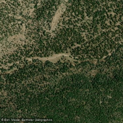
Rio Cebolla
- Boat Ramps
- 1
- Access Points
- 6
- Campsites
- 5
Rio Cebolla flows through the Jemez Mountains of northern New Mexico, coursing through Rio Arriba and Sandoval Counties before joining the Rio Guadalupe. This mountain stream originates in the high country of the Santa Fe National Forest, where it drains the western slopes of the Jemez range at elevations exceeding 9,000 feet. The river descends through a landscape shaped by ancient volcanic activity, passing through mixed conifer forests of ponderosa pine, Douglas fir, and spruce. During its journey through steep-walled canyons and meadow openings, the Rio Cebolla maintains a relatively small flow volume compared to larger regional rivers, with discharge heavily dependent on snowmelt and seasonal precipitation patterns.
Fly-fishing enthusiasts frequent the Rio Cebolla, particularly in the Jemez Mountains where the cold, clear waters support trout populations. The stream's accessibility makes it a destination for anglers seeking a mountain fishing experience within the Santa Fe National Forest.
Winter conditions transform the upper watershed into cross-country skiing and snowshoeing terrain, with the Rio Cebolla Trail providing access to the winter landscape from late December through February when snowpack is most reliable.
The river flows through country characterized by dramatic elevation changes and volcanic geology. The surrounding terrain includes wilderness areas and national preserve lands that maintain the watershed in a largely natural state. Ponderosa Valley and the communities near Jemez Springs provide the closest services to the river corridor, though much of the Rio Cebolla's length remains remote and undeveloped. Access to the river requires navigating forest roads that may become impassable during winter months or periods of heavy precipitation. The Santa Fe National Forest manages much of the surrounding land, and visitors should be prepared for primitive conditions with limited facilities.
Spring runoff, typically occurring from April through June, brings the highest water levels, while late summer and fall see substantially reduced flows. The Rio Cebolla watershed remains relatively unknown compared to more prominent rivers in northern New Mexico, offering solitude for those willing to explore its upper reaches. The stream's small size and mountain character make it unsuitable for paddling activities, but its role as a tributary to the Rio Guadalupe system contributes to the broader hydrology of the Jemez Mountains.
Wildlife in the corridor includes elk, black bear, and various bird species adapted to montane forest environments.
Water access, boat ramps & amenities
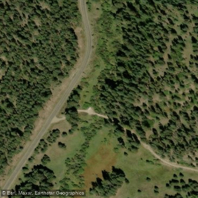
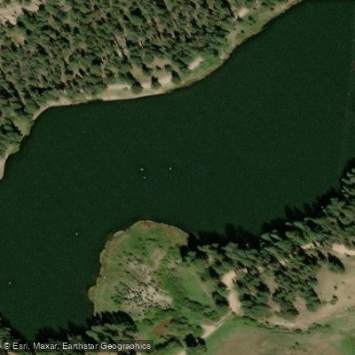
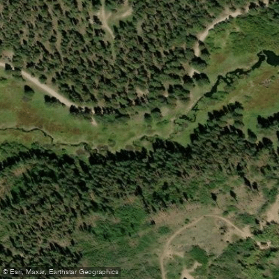
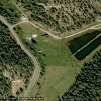
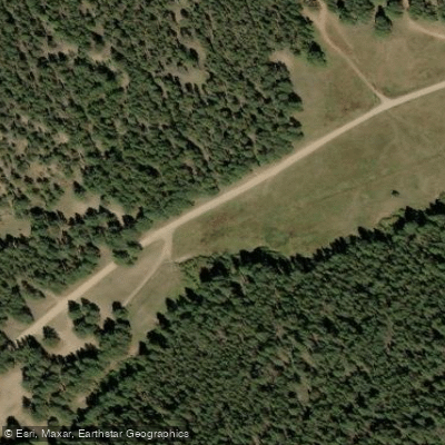
Learn how to get on Rio Cebolla. Uncover great paddling access points, boat ramps, and all the facilities you need for an unforgettable day on the water. Some locations shown may border or include private property. Always check property boundaries and applicable regulations before visiting. PaddleWays's Public & Private Land layer can help you plan your access with confidence.
Paddle smarter with real-time insights
Whether you're en route and conditions shift or you're looking for the best spot based on current flows, we enable you to make informed decisions on the fly.








Find Places to Paddle

Over 400,000 Places to Paddle
Every user gets free access to launch points, boat ramps, and public property parcels.


Water and weather conditions (10 day forecast)
See the best times to paddle Rio Cebolla and check the forecast before you go.
No forecast data available.
Paddling near Rio Cebolla

Rio Grande
Pecos River
Rio Chama
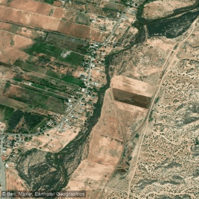
Jemez River
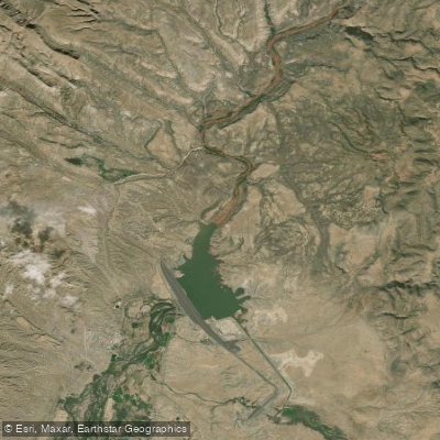
Cochiti Lake
Winsor Creek
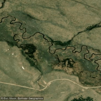
San Antonio Creek
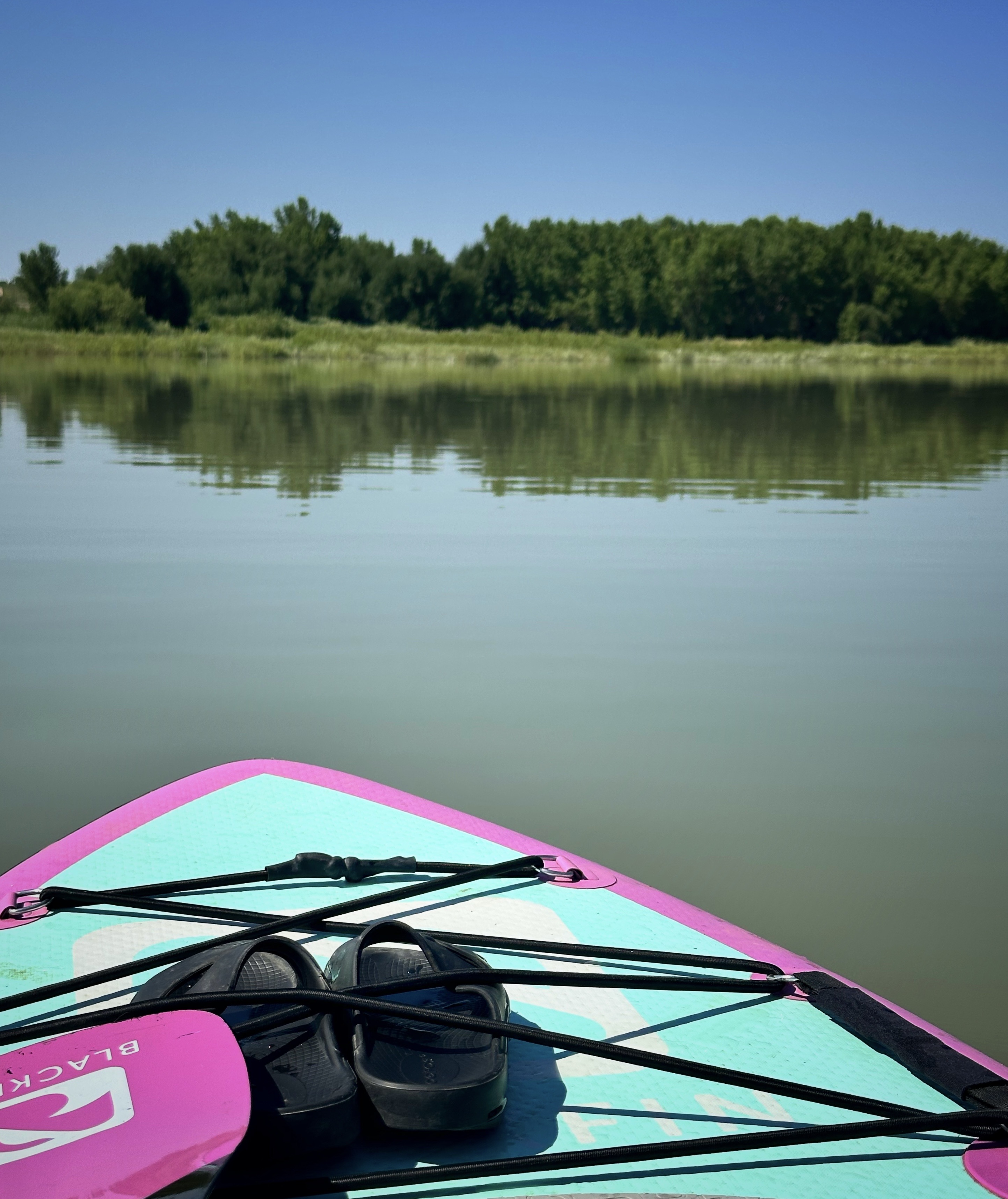
Storrie Lake
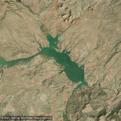
Abiquiu Reservoir
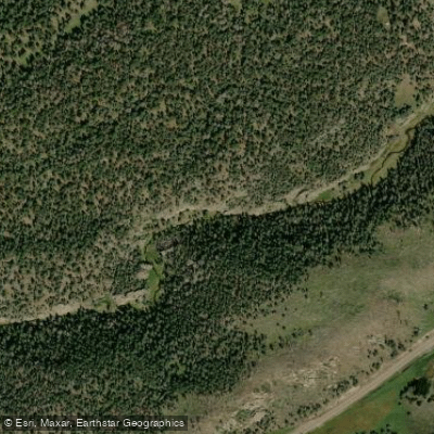
East Fork Jemez River
Explore New Mexico waters
Top paddling waters
Popular Cities
Loading popular cities...
Explore near Rio Cebolla
Access points
Nearby waters
More in New Mexico

Smarter Paddling Starts in the App.
Paddleways gives you everything you need to plan smarter, paddle better, and own every trip from first launch to takeout.