Beach Channel
- Saltwater
- Beach
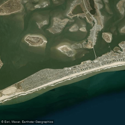
Beach Channel
- Saltwater
- Beach
- Sq. miles
- 1
- Boat Ramps
- 0
- Access Points
- 0
- Campsites
- 2
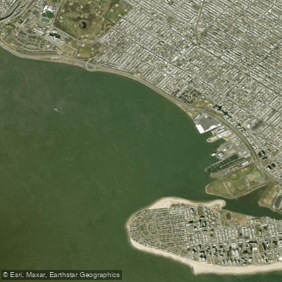
Beach Channel is a narrow waterway separating the Rockaway Peninsula from the main body of Jamaica Bay in New York City. Paddlers primarily access the channel from shoreline launch points along the peninsula, which offer direct entry into the protected bay waters. A notable public access point is the Beach 88th Street Kayak Launch, a community boathouse situated right at the shore to minimize the carry distance for kayaks and stand-up paddleboards. Another established launch site is at Riis Landing, further west along the peninsula. These launches provide entry points for paddling along the Rockaway Peninsula within Jamaica Bay. The overall character is an urban coastal paddle within a national recreation area, with views of the peninsula and the bay's broader expanse.
Paddlers should be mindful of tidal influence, as some areas experience extensive mud flats at low tide, which can complicate launching and landing. Planning a trip to utilize the ebb or flood tide can aid in travel, as demonstrated by a 6.25-mile route paddling east from Riis Landing to the Beach 88th Street launch and returning with the ebb tide. This route is considered suitable for kayakers experienced with that distance. A hand-launched boating permit, valid for a calendar year, is required for privately owned kayaks, canoes, and rowboats within Gateway National Recreation Area waters. These can be purchased at the Floyd Bennett Field Ranger Station. The water body is part of the Jamaica Bay ecosystem, with potential wildlife viewing opportunities. Facilities are basic, with the community boathouse offering limited vessel storage and no mention of other amenities like restrooms or rentals at the launch sites themselves.
Water access, boat ramps & amenities
Learn how to get on Beach Channel. Uncover great paddling access points, boat ramps, and all the facilities you need for an unforgettable day on the water. Some locations shown may border or include private property. Always check property boundaries and applicable regulations before visiting. PaddleWays's Public & Private Land layer can help you plan your access with confidence.
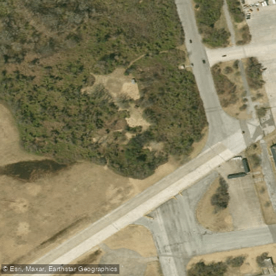
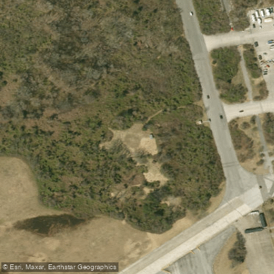
Paddle smarter with real-time insights
Whether you're en route and conditions shift or you're looking for the best spot based on current flows, we enable you to make informed decisions on the fly.








Find Places to Paddle

Over 400,000 Places to Paddle
Every user gets free access to launch points, boat ramps, and public property parcels.


Tides, wind & water conditions (10 day forecast)
On open water, wind and tide matter as much as the weather. See the best times to paddle Beach Channel and check the marine forecast before you launch.
Loading tide predictions…
Paddling near Beach Channel

Hudson River

Raritan River
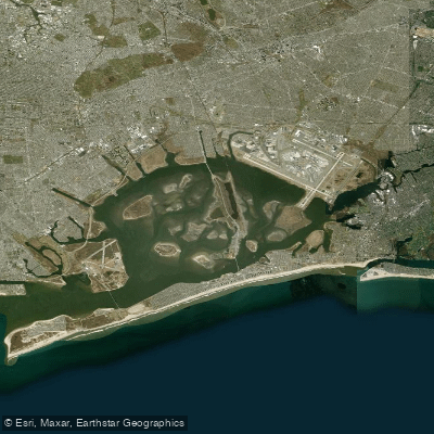
Jamaica Bay
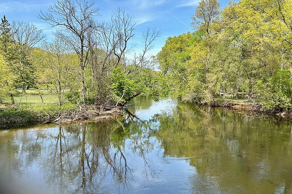
Rockaway River
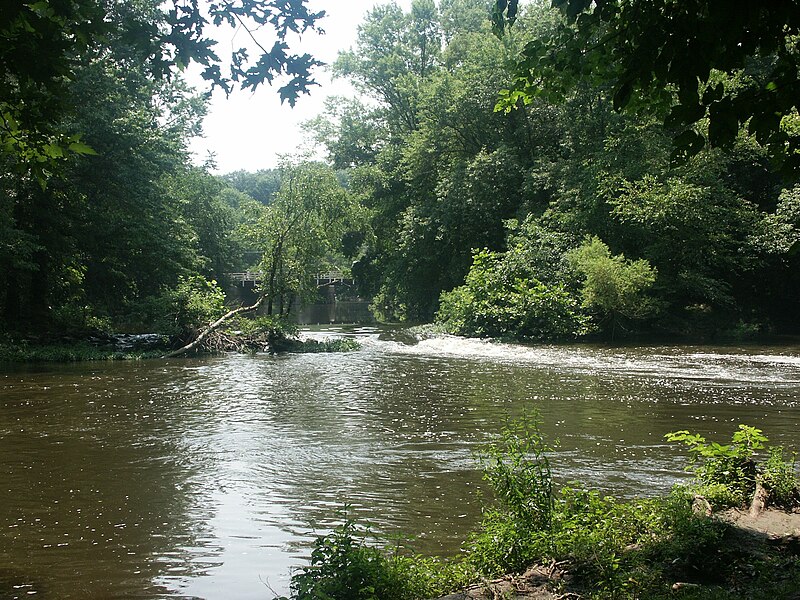
Millstone River
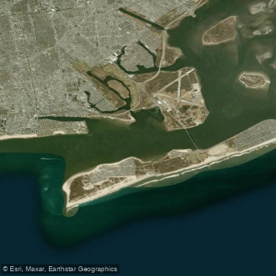
Rockaway Inlet

Croton River
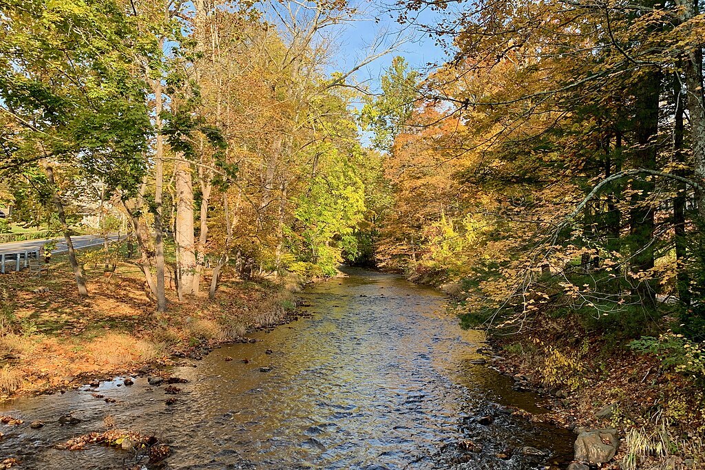
Lamington River
Gravesend Bay
South Branch Raritan River
Explore New York waters
Top paddling waters
Popular Cities
Loading popular cities...
Explore near Beach Channel
Access points
Nearby waters
More in New York

Smarter Paddling Starts in the App.
Paddleways gives you everything you need to plan smarter, paddle better, and own every trip from first launch to takeout.