Curated by PaddleWays
RouteClass I–II
- Distance
- 30.3 mi
- Paddle time
- ~10 hrs
- Best for
- Beginners, intermediate paddlers
- Put-in & take-out
- Canisteo River Boat Ramp
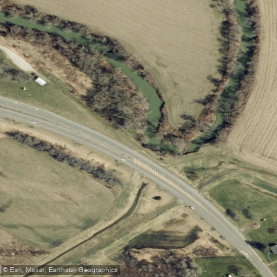
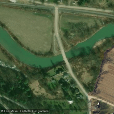
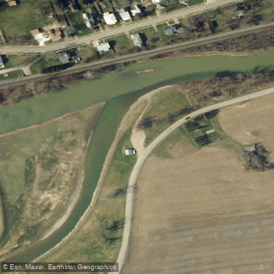
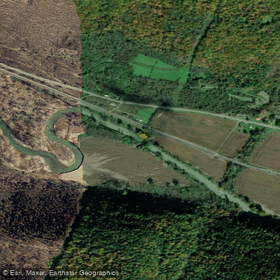
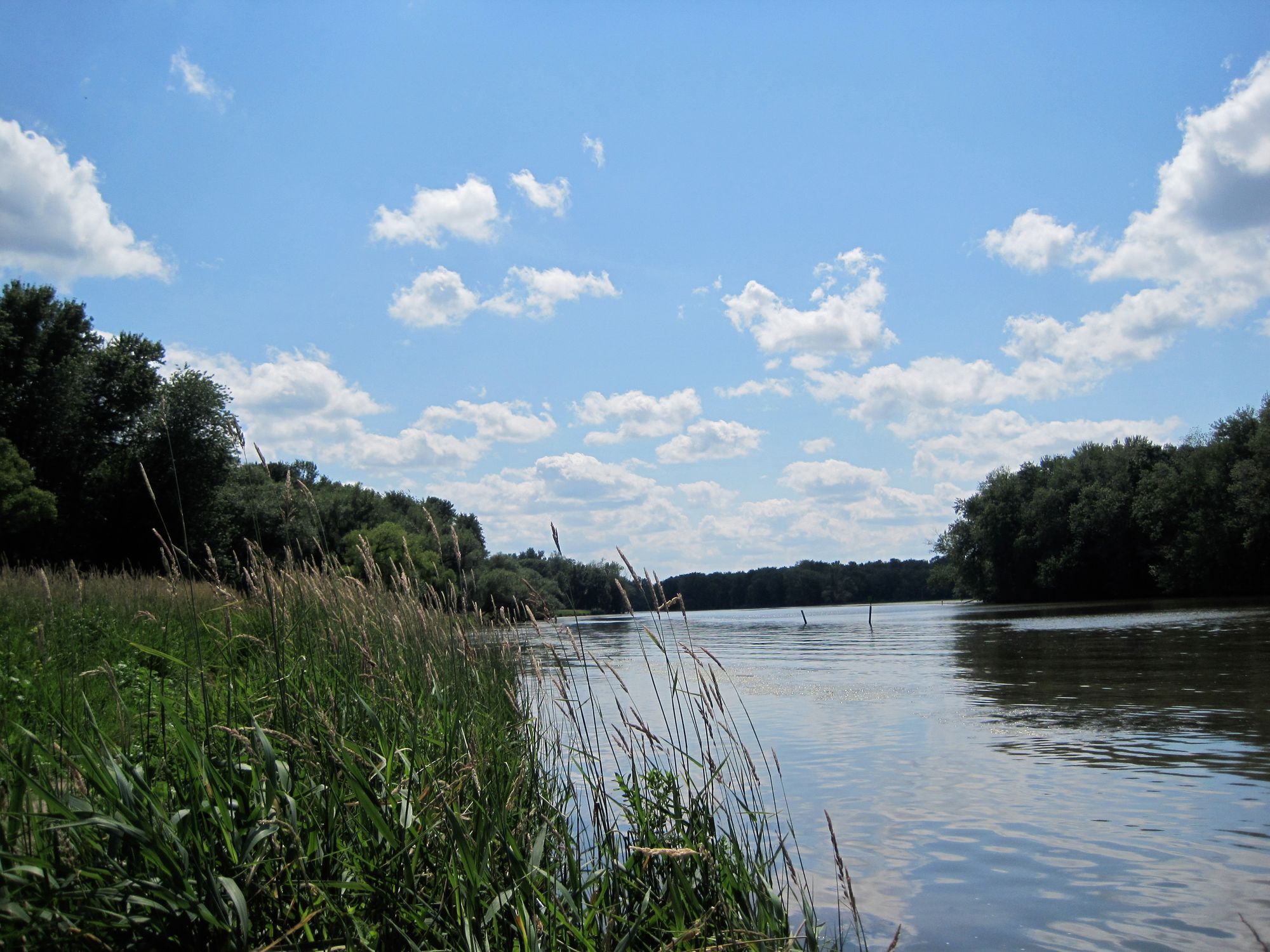
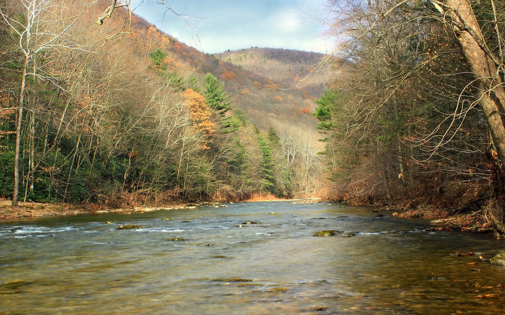
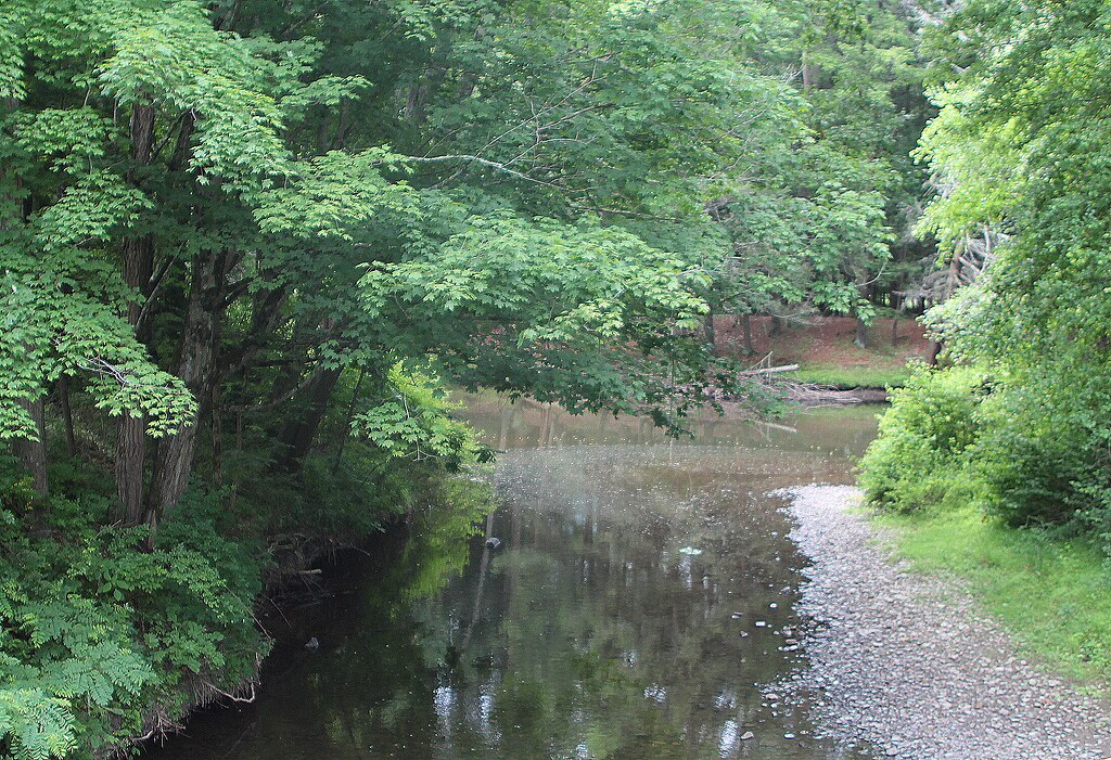
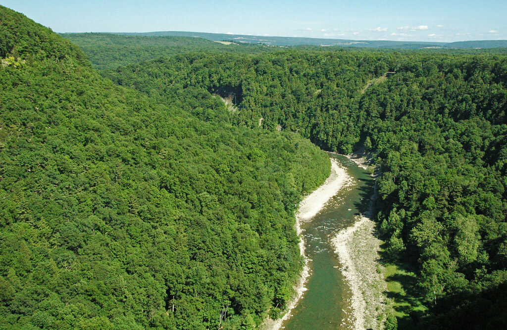
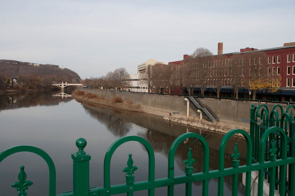
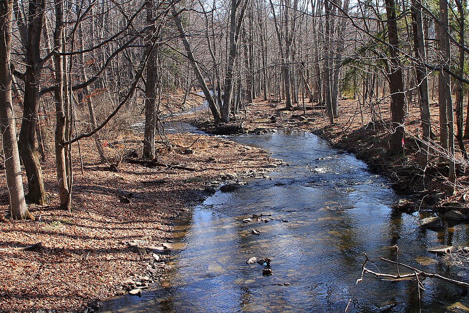
The Canisteo River, a significant waterway in New York's Southern Tier, originates in the hills of Steuben County and flows northward through the picturesque Finger Lakes region. This river, a major tributary of the Tioga River, carves its path through a valley flanked by steep hillsides, creating a characteristic landscape of the area. Stretching approximately 60 miles, the Canisteo River offers paddlers a variety of experiences, with the most popular section being the 20-mile stretch from Canisteo to Addison. This segment, rated Class I-II, provides an ideal mix of gentle rapids and calm water, suitable for beginner to intermediate paddlers. The river's course follows County Route 119, also known as Canisteo River Road, passing through charming hamlets like Adrian, West Cameron, Cameron Mills, and Rathbone.
The river's difficulty remains relatively consistent throughout its length, with occasional Class II rapids that may require basic maneuvering skills. While suitable for year-round paddling, spring and early summer typically offer optimal water levels, combining snowmelt and rainfall. Late summer and fall can provide serene flat-water experiences, though paddlers should be aware of potential low water conditions.
The Canisteo River valley boasts a rich ecosystem. Paddlers may spot white-tailed deer, wild turkeys, and various waterfowl along the banks. The river corridor is lined with a mix of hardwood forests, including maple, oak, and hickory trees, which provide stunning foliage displays in autumn.
Key landmarks include multiple bridge crossings that serve as convenient reference points and potential access areas. Pinnacle State Park, located near the river, offers additional recreational opportunities and scenic vistas of the surrounding landscape. Primary access points include the put-in at Canisteo and take-out at Addison, with several intermediate access possibilities in the small towns along the route. These access points are generally well-maintained and easily reachable from nearby roads.
Historically, the Canisteo River played a crucial role in the region's development, supporting early settlements and industries. Today, it remains an important resource for local communities, offering recreational opportunities and supporting diverse wildlife.
Safety considerations include being aware of water levels, which can fluctuate seasonally, and watching for strainers or fallen trees, particularly after high water events. Paddlers should also note that the mouths of major tributaries are popular fishing spots, especially for walleye, and should exercise caution in these areas.
For those seeking a multi-day adventure, the full length of the Canisteo River can be tackled in sections, with numerous camping options available along the route. This allows paddlers to fully immerse themselves in the tranquil beauty of New York's Southern Tier and experience the changing character of the river from its upper reaches to its confluence with the Tioga River.
Curated routes
Hand-picked by the PaddleWays team, with put-ins, take-outs, paddle times and the hazards along the way.
RouteClass I–II
Hazards
No hazards are marked on Canisteo River yet. That is not the same as none being there: if you find one, report it for the next paddler.
From the community
Nobody has shared a trip on Canisteo River yet. Paddle it, then tell the next paddler how it went.
See exactly where the public can get on and off the river. Launch points and boat ramps are paired with PaddleWays' public land data so you know where you can legally land.
Public shoreline
3%of the river's shoreline is public
Most of the riverbank is private. Launch, land and camp only at public access points.
Flows, weather and a route-by-route verdict, so you know which stretch of the Canisteo River is worth paddling today.
All Flow Stations
Live flows, marked hazards and fresh trip reports from paddlers who were just on the water, all in one place.





Every user gets free access to launch points, boat ramps, and public property parcels.

Loading popular cities...
PaddleWays gives you everything you need to plan smarter, paddle better, and own every trip from first launch to takeout.