Little Pine Creek
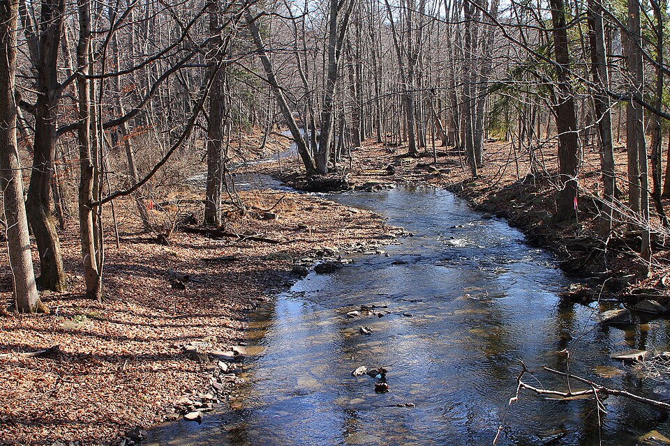
Little Pine Creek
- Boat Ramps
- 0
- Access Points
- 13
- Campsites
- 3
Little Pine Creek originates in the mountains of western Lycoming County, flowing southward through the Tiadaghton State Forest before emptying into Little Pine Lake and eventually joining Pine Creek near Waterville. This tributary of Pine Creek carves through a heavily forested valley in Pennsylvania's northcentral region, creating a narrow, intimate waterway that offers paddlers a taste of the state's wild character.
The creek flows through Little Pine State Park, where a dam creates the 45-acre Little Pine Lake. Upstream of this impoundment, Little Pine Creek maintains its natural character, tumbling over rocks and through forested corridors. The watershed drains mountainous terrain typical of the Pennsylvania Wilds, with elevations dropping significantly from headwaters to confluence.
Two distinct paddling sections exist on Little Pine Creek. The upper section runs from a bridge on Little Pine Creek Road (approximately 1.0 mile upstream of Otter Run) down to the inflow of Little Pine Lake. This stretch is managed under Delayed Harvest Artificial Lures Only regulations, indicating its value as a trout fishery. The second section extends from the vicinity of Waterville downstream to the confluence with Pine Creek. Both sections offer opportunities during appropriate water levels, though the creek's small size means timing is critical.
Paddlers should possess intermediate skills, as Little Pine Creek presents typical small-stream challenges including tight maneuvering, potential strainers, and variable water levels. Spring runoff and periods following substantial rainfall provide the most reliable flows. By mid-summer, sections may become too shallow for comfortable passage.
The surrounding forest supports a northern hardwood-conifer mix, with hemlock groves shading cooler stretches. White-tailed deer, black bears, and various songbird species inhabit the watershed. The creek itself supports wild and stocked trout populations, making it popular with anglers throughout the fishing season.
Access points include the bridge on Little Pine Creek Road upstream of the lake and various points near Waterville where the creek approaches roads. The nearest substantial town is Williamsport, approximately 25 miles southeast, though smaller communities like Waterville provide closer access. Little Pine State Park offers camping facilities, making it possible to combine paddling with overnight stays. The park's 2,158 acres provide hiking trails and other recreational opportunities.
Paddlers should be aware of fishing regulations, particularly the Delayed Harvest section's special rules. Water levels can change rapidly following storms, and the creek's small size means obstacles like fallen trees may appear between seasons. No established multi-day paddling routes exist given the creek's limited length, but it can serve as an introduction to a longer Pine Creek journey.
Water access, boat ramps & amenities
Learn how to get on Little Pine Creek. Uncover great paddling access points, boat ramps, and all the facilities you need for an unforgettable day on the water. Some locations shown may border or include private property. Always check property boundaries and applicable regulations before visiting. PaddleWays's Public & Private Land layer can help you plan your access with confidence.
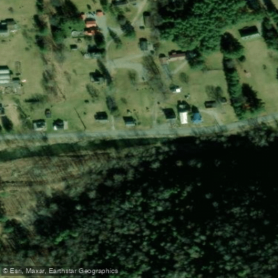
Little Pine Creek Road Access

SR 287 Pull Off Access
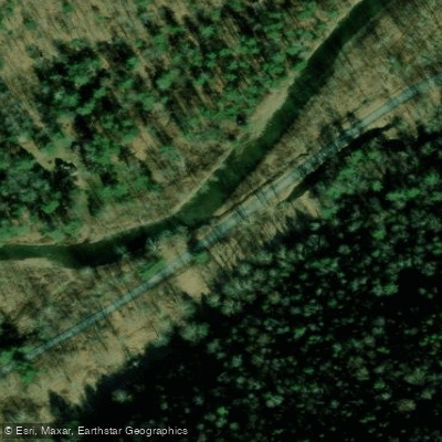
Little Pine Creek Road Access
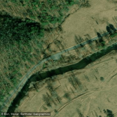
Panther Run Access
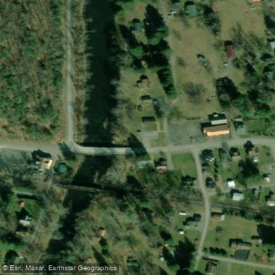
Post Office Access
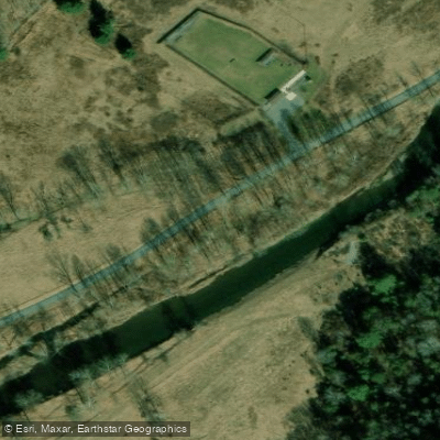
Little Pine Shooting Range Pull Off Access
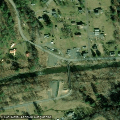
Little Pine Creek Iron Bridge Access
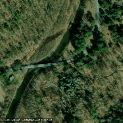
Otter Run Access
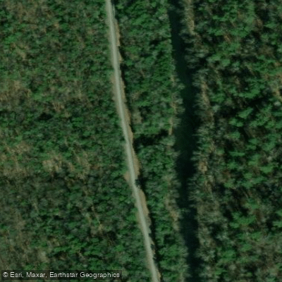
Little Pine Creed Road Access
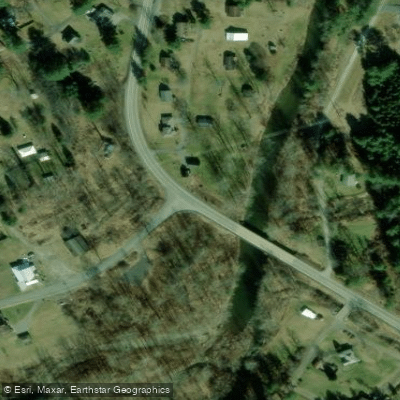
SR 287 Bridge Access
Paddle smarter with real-time insights
Whether you're en route and conditions shift or you're looking for the best spot based on current flows, we enable you to make informed decisions on the fly.








Find Places to Paddle

Over 400,000 Places to Paddle
Every user gets free access to launch points, boat ramps, and public property parcels.


Water and weather conditions (10 day forecast)
See the best times to paddle Little Pine Creek and check the forecast before you go.
No forecast data available.
Paddling near Little Pine Creek
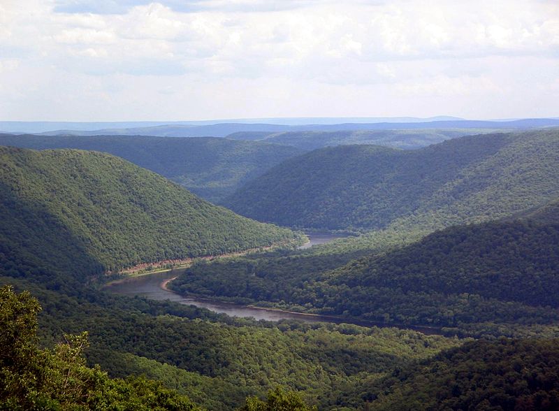
West Branch Susquehanna River
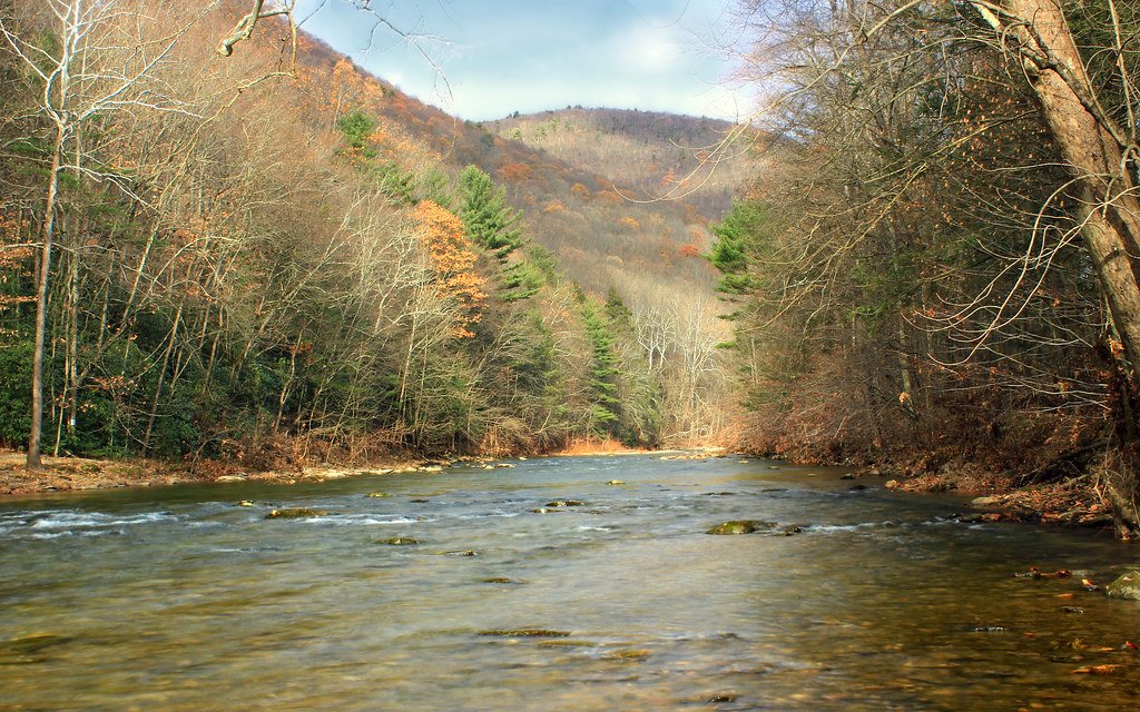
Lycoming Creek
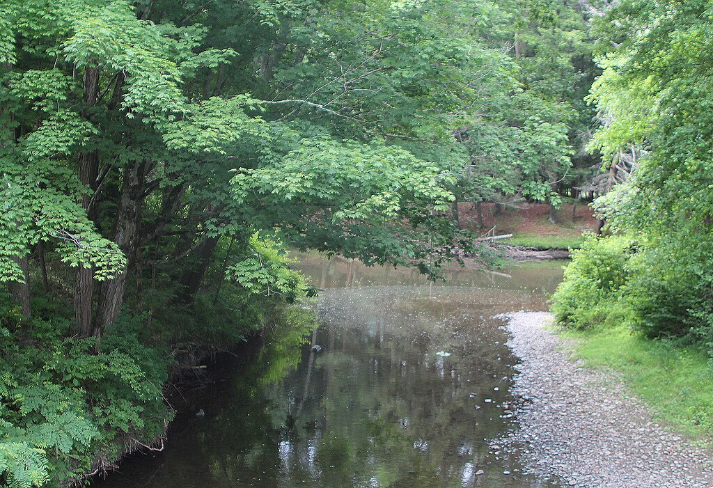
Pine Creek

Susquehanna River
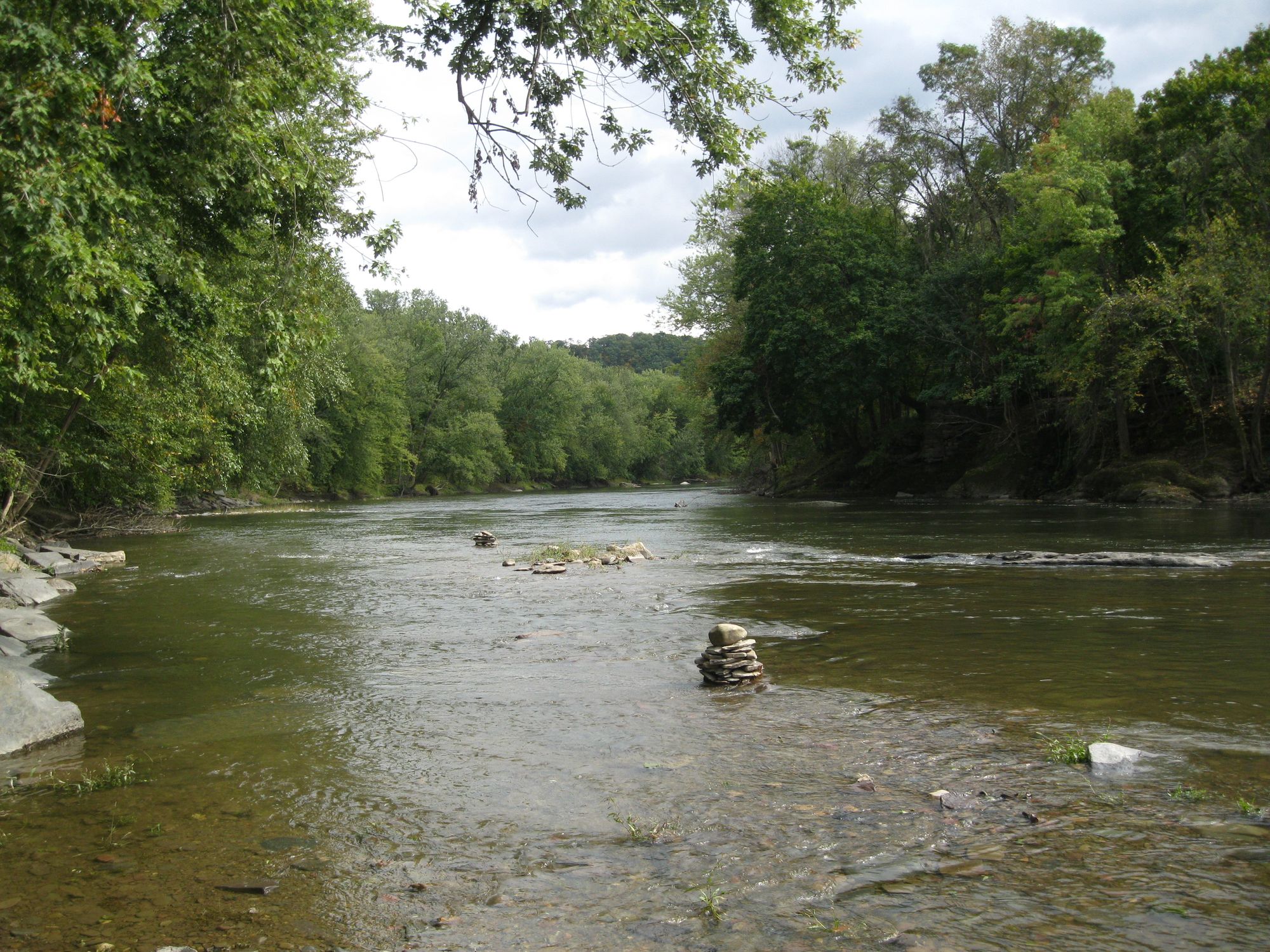
Fishing Creek
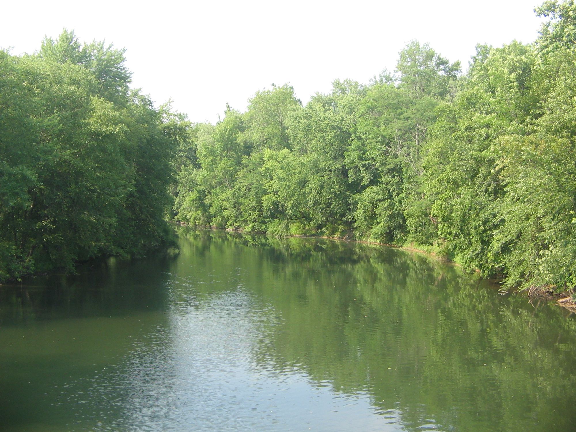
Bald Eagle Creek
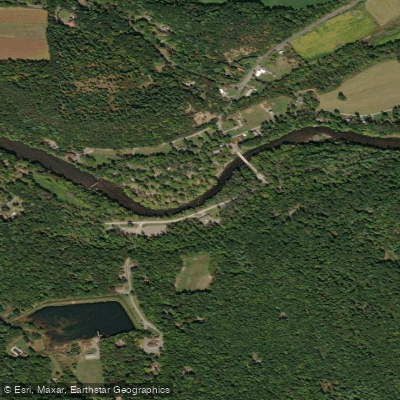
Penns Creek
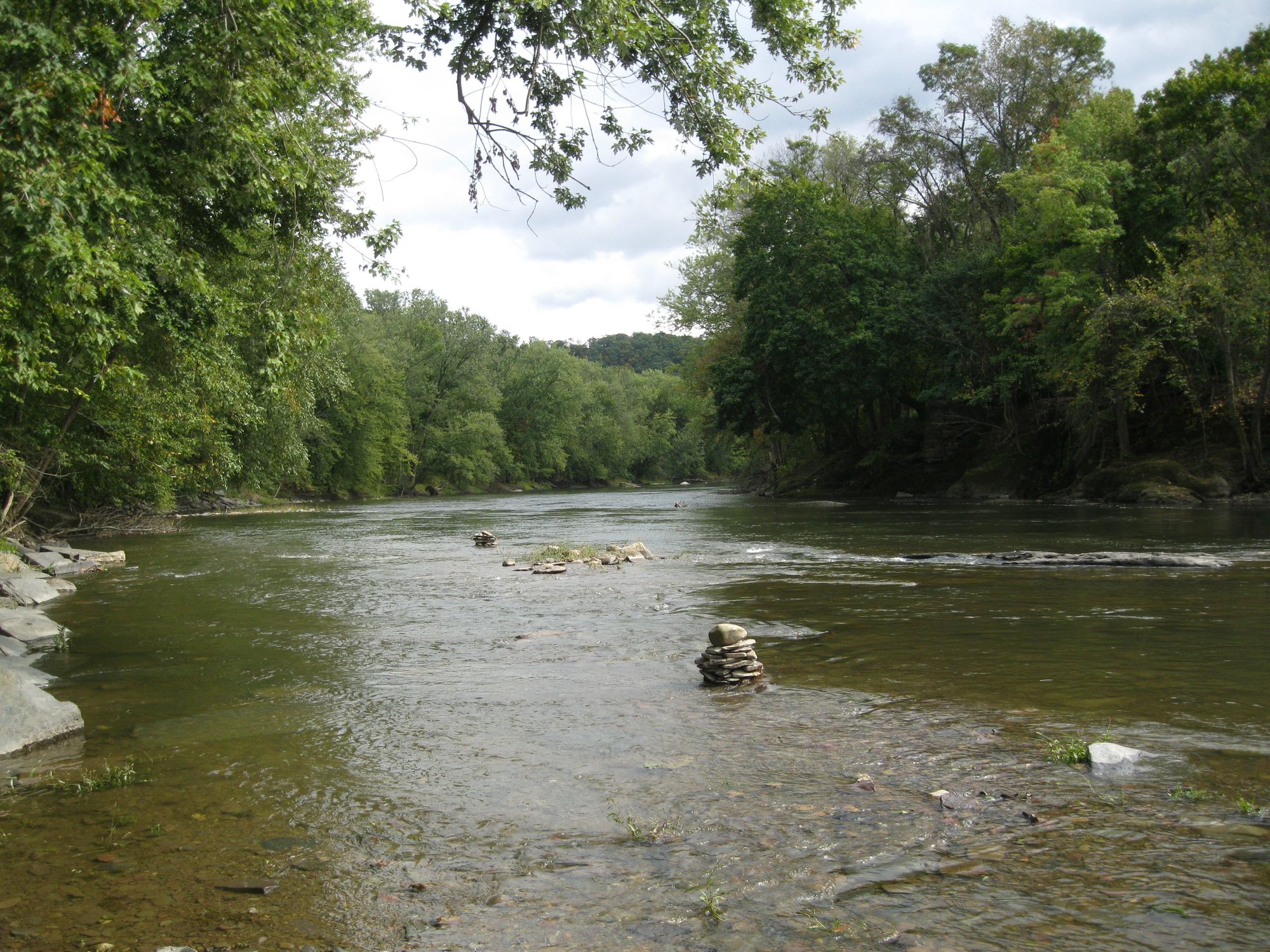
Fishing Creek
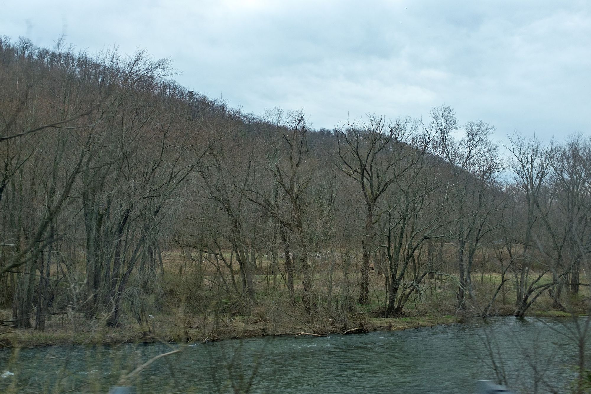
Juniata River
Explore Pennsylvania waters
Top paddling waters
Popular Cities
Loading popular cities...
Explore near Little Pine Creek
Access points
- Little Pine Creek Road Access
- SR 287 Pull Off Access
- Little Pine Creek Road Access
- Panther Run Access
- Post Office Access
- Little Pine Shooting Range Pull Off Access
- Little Pine Creek Iron Bridge Access
- Otter Run Access
- Little Pine Creed Road Access
- SR 287 Bridge Access
- Little Pine State Park Access
- Little Pine Inflow Access
- All 40 spots
Nearby waters
More in Pennsylvania

Smarter Paddling Starts in the App.
Paddleways gives you everything you need to plan smarter, paddle better, and own every trip from first launch to takeout.