Pine Creek
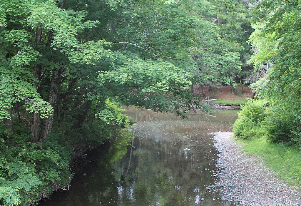
Pine Creek
- Boat Ramps
- 15
- Access Points
- 25
- Campsites
- 17
Pine Creek originates in the Allegheny Plateau of Potter County, Pennsylvania, flowing southward through a dramatic 47-mile gorge often called the "Grand Canyon of Pennsylvania" before joining the West Branch Susquehanna River near Jersey Shore in Clinton County. The creek carves through Tioga and Lycoming counties along its 87-mile journey, creating one of the most spectacular natural landmarks in the northeastern United States. The Pine Creek Gorge reaches depths of 1,000 feet with walls stretching over a mile wide in places, designated as a National Natural Landmark in 1968.
The creek's gradient creates varied paddling conditions, from gentle Class I-II waters in the upper sections near Galeton to more challenging Class II-III rapids through the canyon proper between Ansonia and Blackwell. Paddlers can choose from multiple sections spanning 5 to 68 miles. The upper reaches from Galeton, Watrous, Gaines, or Rexford to Ansonia offer calm Class I-II water ideal for beginners and families. The renowned canyon section from Ansonia to Blackwell presents 17 miles of intermediate whitewater with rapids like Owassee and Rattlesnake Rock demanding solid boat control. Below Blackwell, the creek gradually mellows through Slate Run and Waterville, transitioning to flatwater as it approaches Jersey Shore.
Spring provides optimal paddling conditions, typically March through May, when snowmelt maintains sufficient water levels. The USGS gauge at Cedar Run indicates minimum runnable levels around 2.0 feet, though experienced paddlers prefer readings above 2.5 feet. Summer flows often drop too low except following heavy rainfall.
The forested corridor supports bald eagles, ospreys, river otters, black bears, and white-tailed deer. Native brook trout thrive in cold tributaries, while the main channel holds stocked trout, smallmouth bass, and walleye. Hemlock groves and mixed hardwood forests dominate the steep canyon walls.
The 62-mile Pine Creek Rail Trail parallels the waterway from Wellsboro Junction to Jersey Shore, providing shuttle access and camping opportunities. Major access points include Big Meadows near Ansonia, Blackwell, Cedar Run, Slate Run, Tiadaghton, and multiple locations near Waterville and Jersey Shore.
Native Americans traveled this route for centuries before European settlement. The valley witnessed intensive logging operations from the 1880s through early 1900s, with massive log booms controlling timber transport downstream. The Jersey Shore, Pine Creek & Buffalo Railroad operated from 1883 to 1988 before conversion to the rail trail.
Free primitive camping requires permits from Tioga State Forest (north of Rattlesnake Rock) or Tiadaghton State Forest (south of Rattlesnake Rock). All boaters must wear Coast Guard-approved life jackets, and private watercraft require Pennsylvania Fish and Boat Commission registration or DCNR launch permits. Cold water temperatures necessitate wetsuits during spring paddling. The canyon's remoteness demands self-sufficiency, with limited road access between Ansonia and Blackwell creating genuine wilderness exposure.
Water access, boat ramps & amenities
Learn how to get on Pine Creek. Uncover great paddling access points, boat ramps, and all the facilities you need for an unforgettable day on the water. Some locations shown may border or include private property. Always check property boundaries and applicable regulations before visiting. PaddleWays's Public & Private Land layer can help you plan your access with confidence.
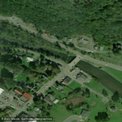
West Street Bridge Access
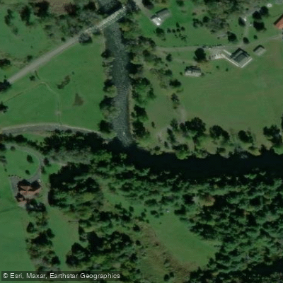
Elk Run Access
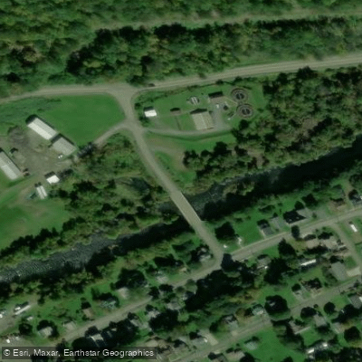
Mill Street Bridge Access
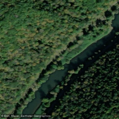
Owassie Access
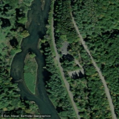
Pine Creek Rail Trail Access
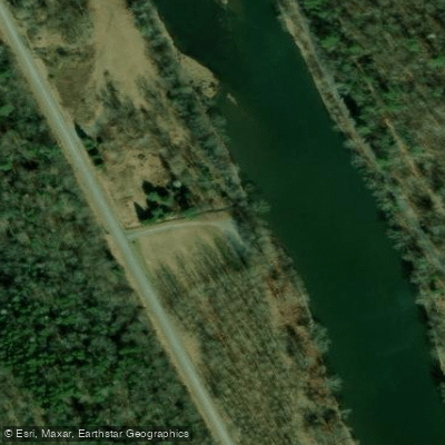
Hamilton Bottom Access
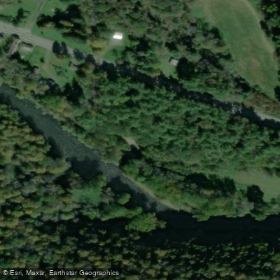
State Game Lands 208 Access
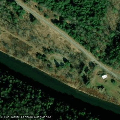
Utceter Station Access
Tiadaghton Campground Access
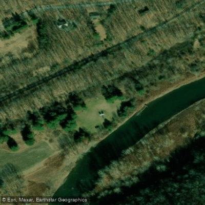
Hoffman Campground Access
Paddle smarter with real-time insights
Whether you're en route and conditions shift or you're looking for the best spot based on current flows, we enable you to make informed decisions on the fly.








Find Places to Paddle

Over 400,000 Places to Paddle
Every user gets free access to launch points, boat ramps, and public property parcels.


Water and weather conditions (10 day forecast)
See the best times to paddle Pine Creek and check the forecast before you go.
Pine Creek at Cedar Run, PA
All Flow Stations
Paddling near Pine Creek
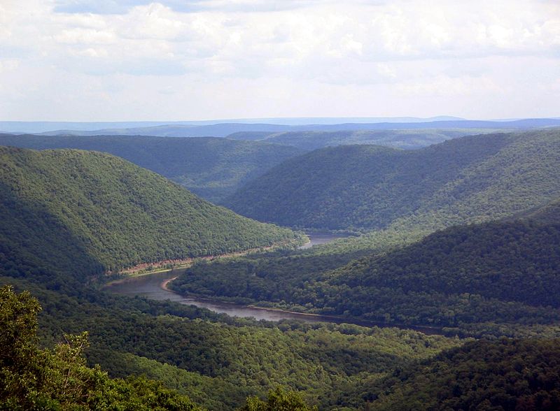
West Branch Susquehanna River
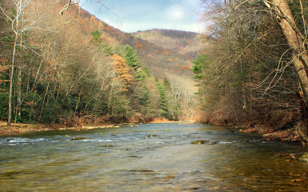
Lycoming Creek

Susquehanna River
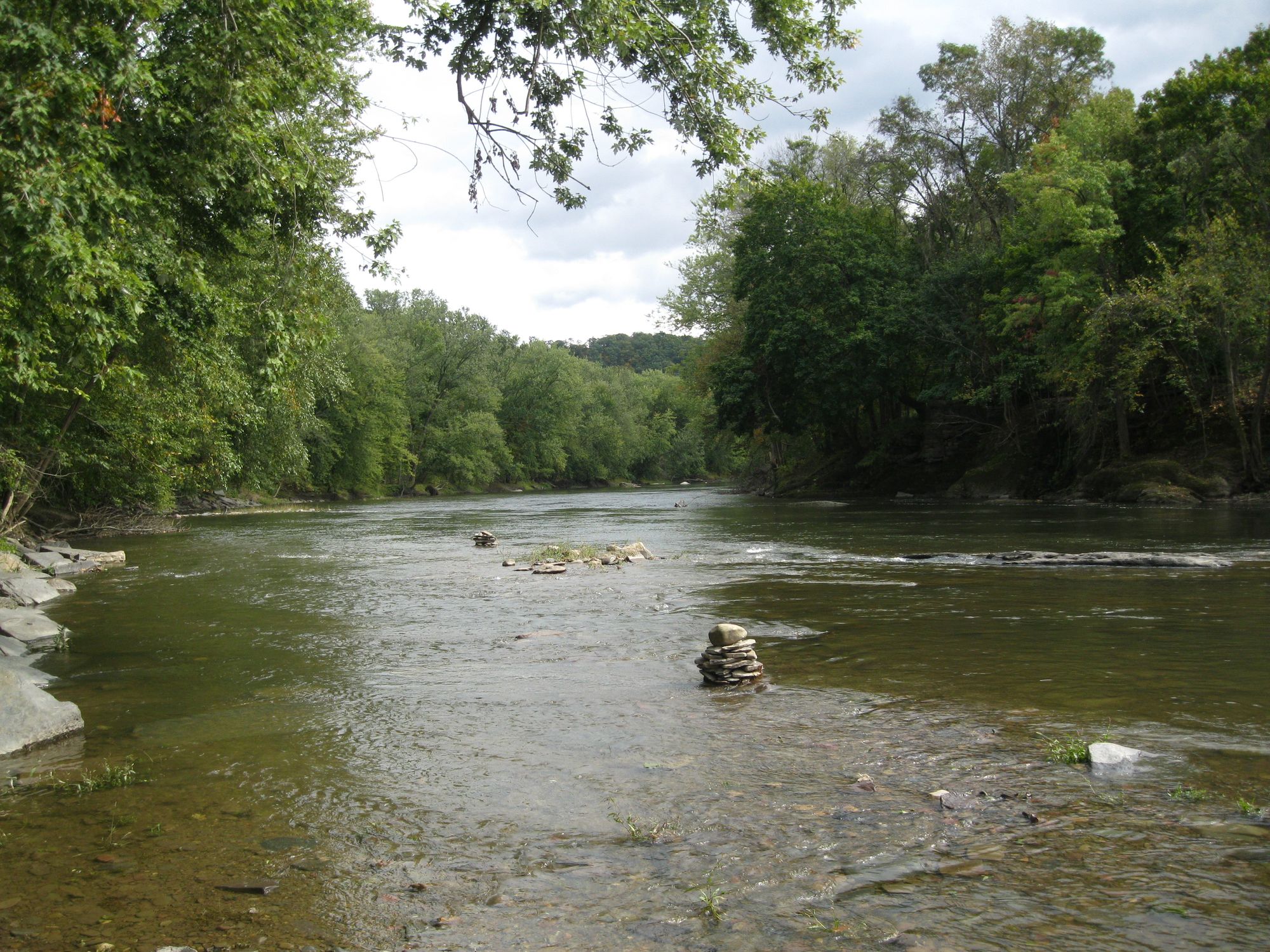
Fishing Creek
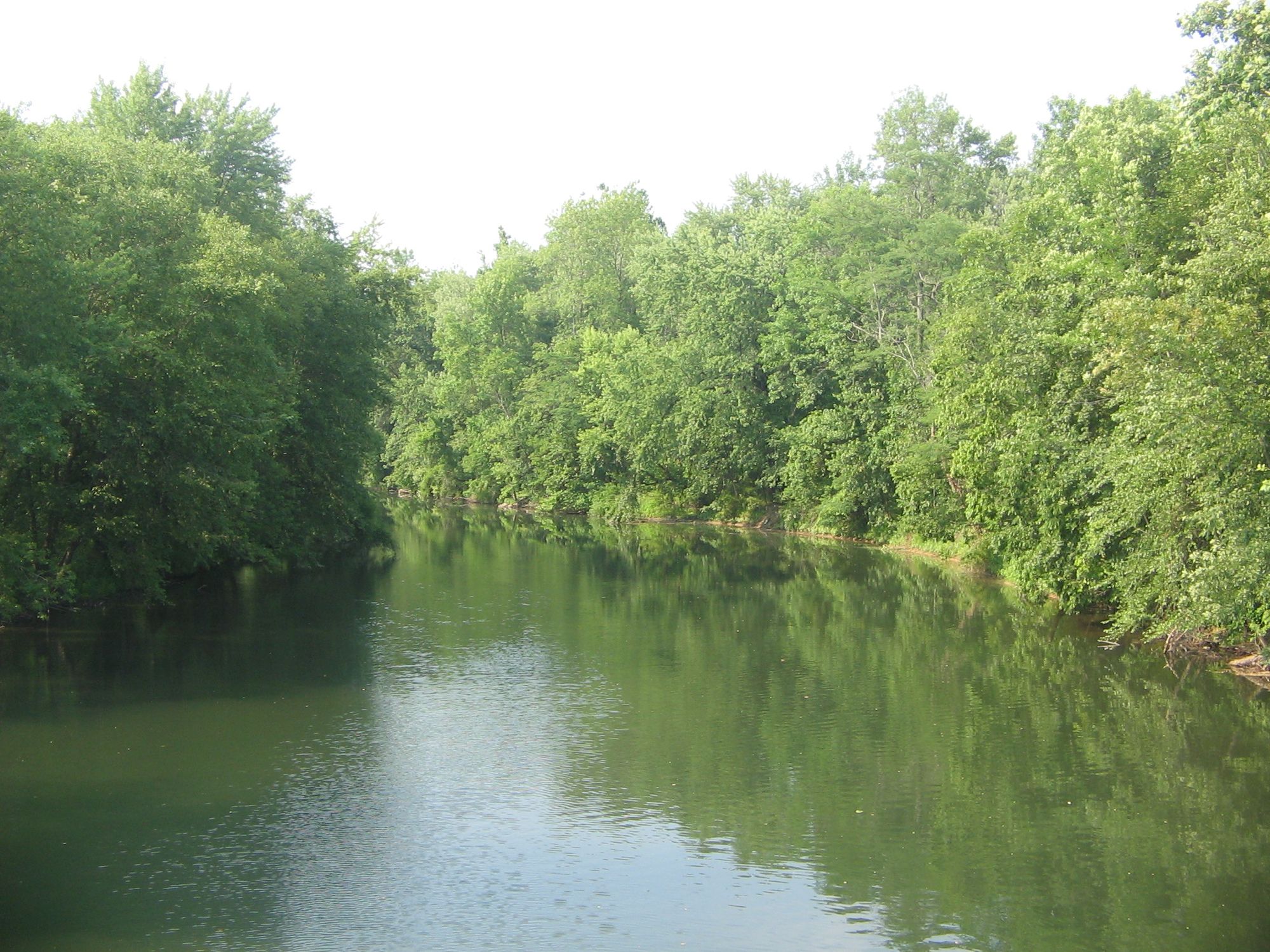
Bald Eagle Creek
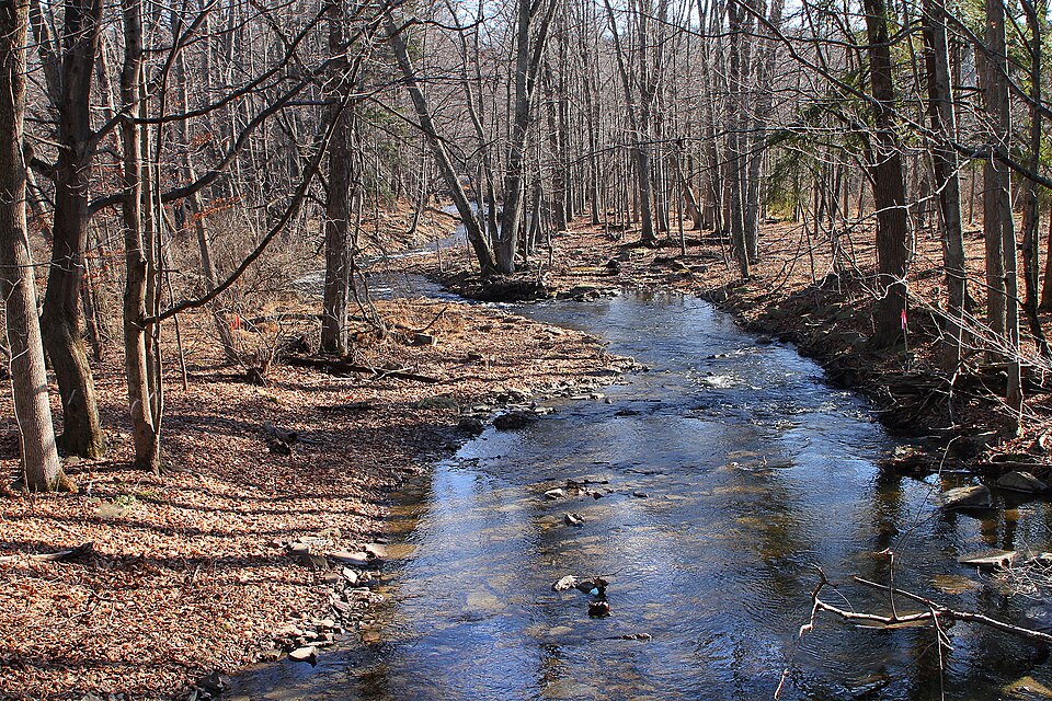
Little Pine Creek
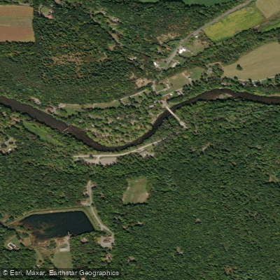
Penns Creek
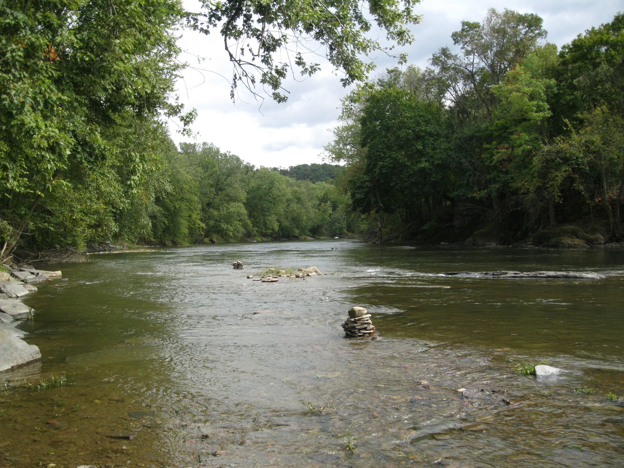
Fishing Creek
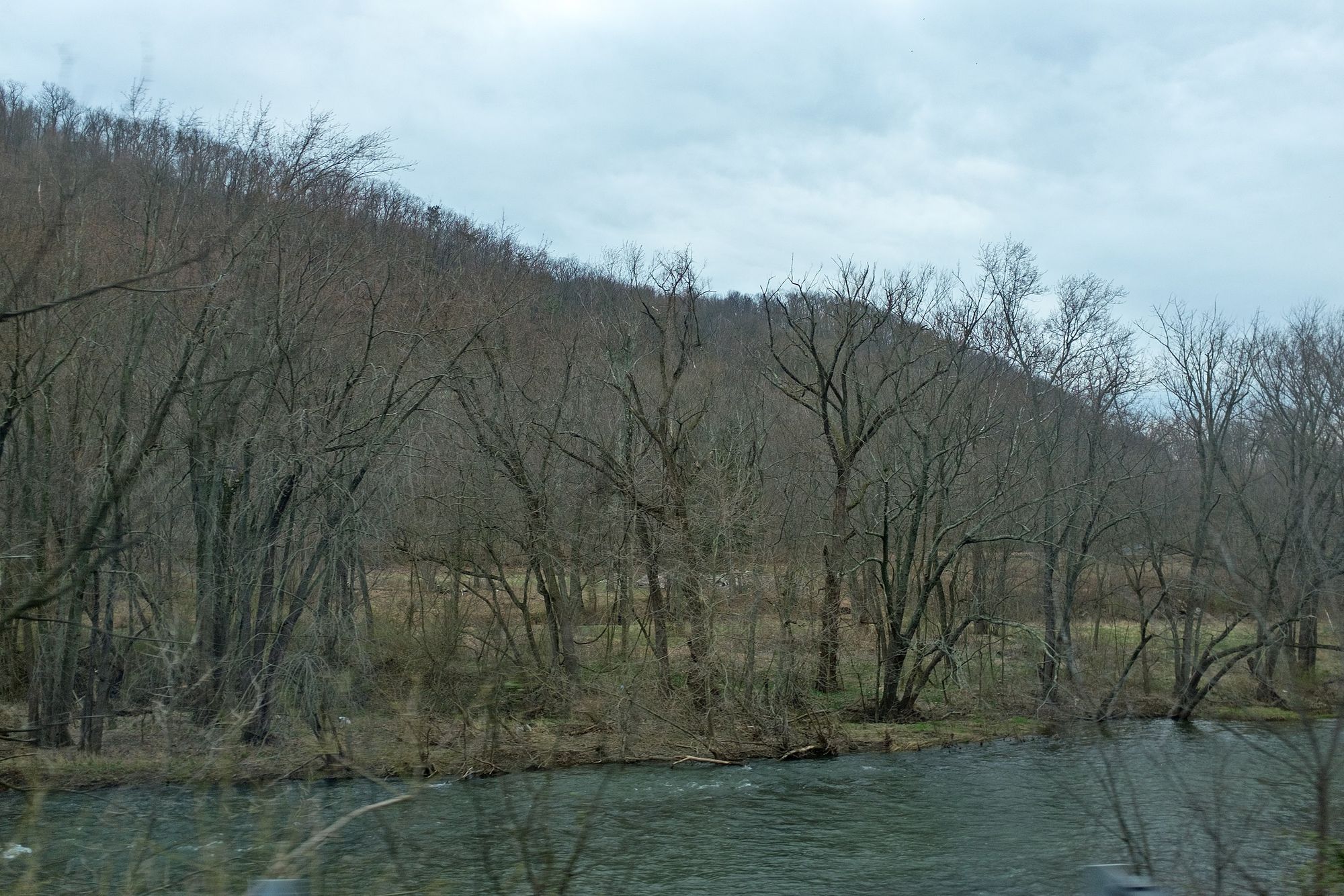
Juniata River
Explore Pennsylvania waters
Top paddling waters
Popular Cities
Loading popular cities...
Explore near Pine Creek
Access points
Nearby waters
More in Pennsylvania

Smarter Paddling Starts in the App.
Paddleways gives you everything you need to plan smarter, paddle better, and own every trip from first launch to takeout.