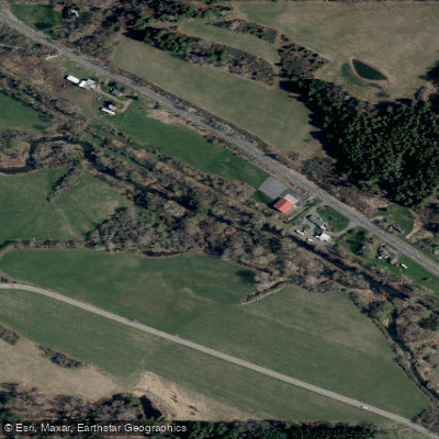
Curated by PaddleWays
RouteClass I–II
- Distance
- 6.5 mi
- Paddle time
- ~2 hrs
- Best for
- Beginners, intermediate paddlers
- Put-in → take-out
- Darling Creek Access → Lockwood Access
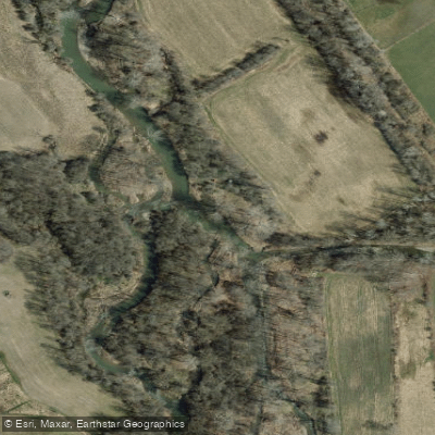
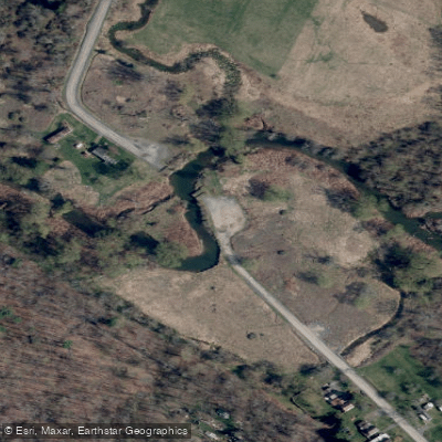
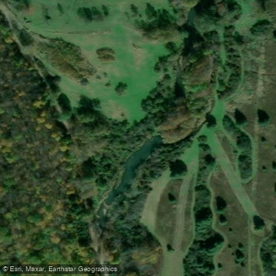
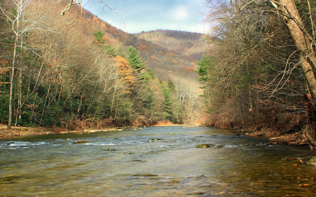
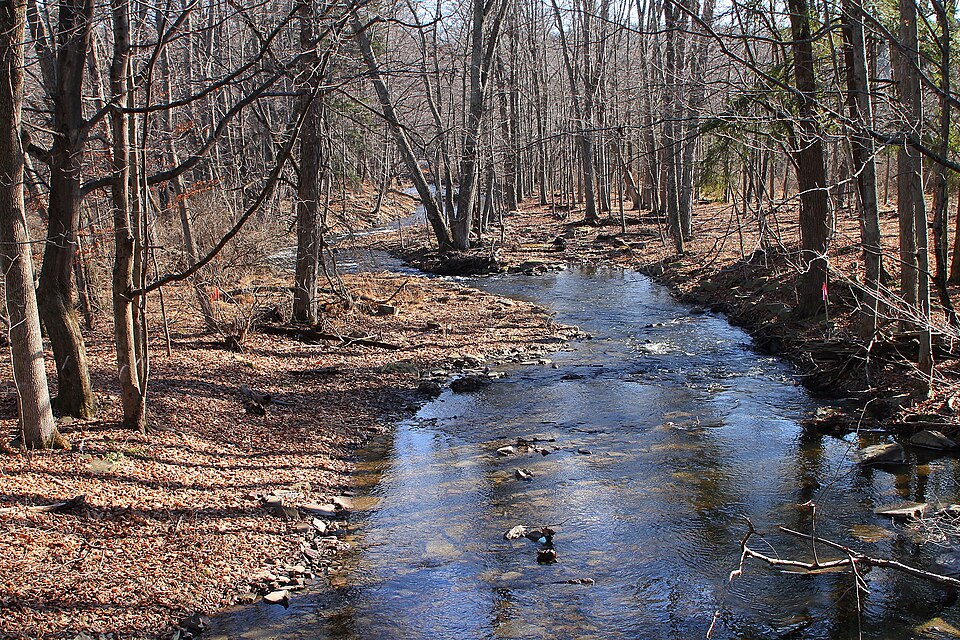
Cayuta Creek, also known locally as Shepherd's Creek, is a scenic waterway in New York's Southern Tier region. Originating at Cayuta Lake in Schuyler County, the creek flows southeast through northeastern Chemung County before joining the Susquehanna River system. This picturesque stream offers a variety of paddling experiences, from tranquil flatwater to exciting whitewater sections.
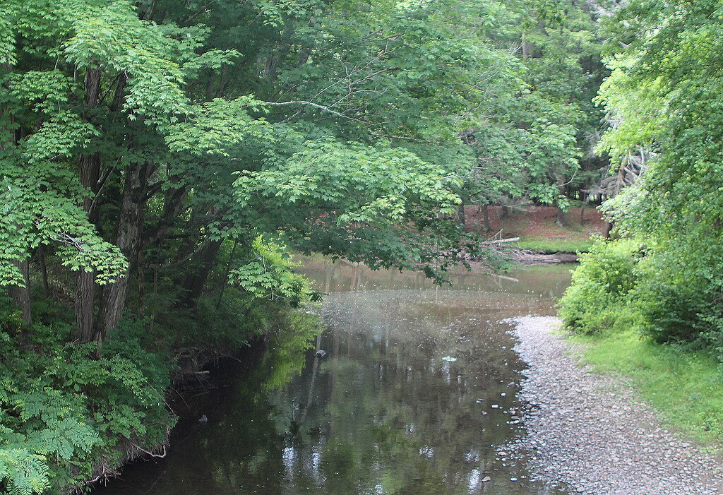
The creek's upper reaches provide a peaceful paddling environment suitable for beginners and families. A popular 4-mile section from Kelley Road bridge to Lockwood offers a mix of calm waters and gentle Class I-II rapids, perfect for those new to moving water. The surrounding landscape features lush forests and occasional farmland, providing opportunities for wildlife viewing.
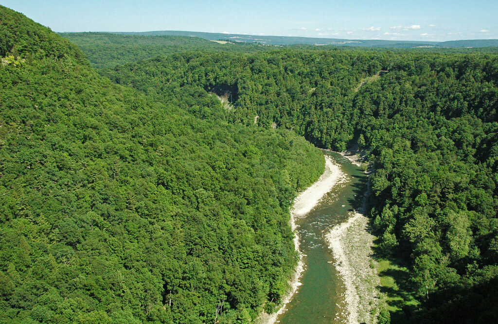
As Cayuta Creek approaches its confluence with the Susquehanna, it transforms into a more challenging waterway. The lower 9 miles present nearly continuous Class II-III rapids, with occasional Class III+ features, flowing through a scenic gorge. This section is best suited for intermediate to advanced paddlers with whitewater experience and proper safety equipment.
The creek's flow is generally best in spring and early summer, with snowmelt and rainfall providing reliable water levels. Late summer and fall can offer beautiful foliage but may require rain to ensure adequate flow. Paddlers should always check current conditions before embarking on a trip.
Cayuta Creek is renowned for its excellent trout fishing, supporting both stocked and wild brown trout populations. The New York Department of Environmental Conservation manages several public fishing access points along the creek.
For those interested in multi-day adventures, Cayuta Creek can be combined with trips on the larger Susquehanna River or nearby Finger Lakes waterways. The 2.5-mile hiking trail through the gorge near Alpine offers an excellent opportunity to explore the creek's beauty on foot.
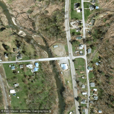
Access points are available at Kelley Road bridge near Van Etten and in Lockwood, with additional put-ins and take-outs along the lower sections. Paddlers should be aware of potential hazards such as strainers and changing water levels, especially in the more challenging lower gorge.
Cayuta Creek played a role in the region's early industrial development, powering mills and supporting local communities. Today, it serves as a valuable recreational resource, offering a blend of natural beauty and paddling excitement in the heart of New York's Southern Tier.
Curated routes
Hand-picked by the PaddleWays team, with put-ins, take-outs, paddle times and the hazards along the way.
RouteClass I–II
Hazards
No hazards are marked on Cayuta Creek yet. That is not the same as none being there: if you find one, report it for the next paddler.
From the community
Nobody has shared a trip on Cayuta Creek yet. Paddle it, then tell the next paddler how it went.
See exactly where the public can get on and off the river. Launch points and boat ramps are paired with PaddleWays' public land data so you know where you can legally land.
Public shoreline
4%of the river's shoreline is public
Most of the riverbank is private. Launch, land and camp only at public access points.
Flows, weather and a route-by-route verdict, so you know which stretch of the Cayuta Creek is worth paddling today.
No forecast data available.
Live flows, marked hazards and fresh trip reports from paddlers who were just on the water, all in one place.





Every user gets free access to launch points, boat ramps, and public property parcels.

Loading popular cities...
PaddleWays gives you everything you need to plan smarter, paddle better, and own every trip from first launch to takeout.