Curated by PaddleWays
RouteFlatwater
- Distance
- 6.5 mi
- Paddle time
- 4 hrs
- Best for
- Beginners, families
- Put-in → take-out
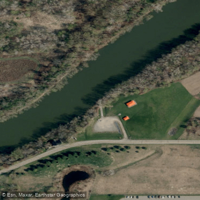
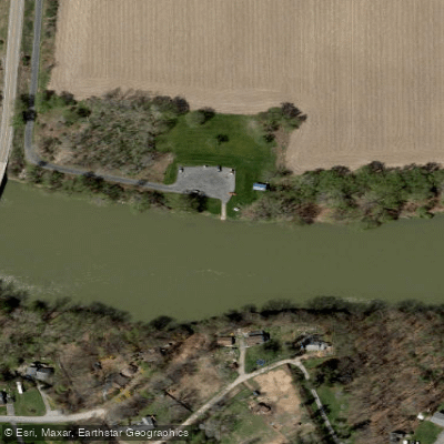
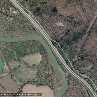
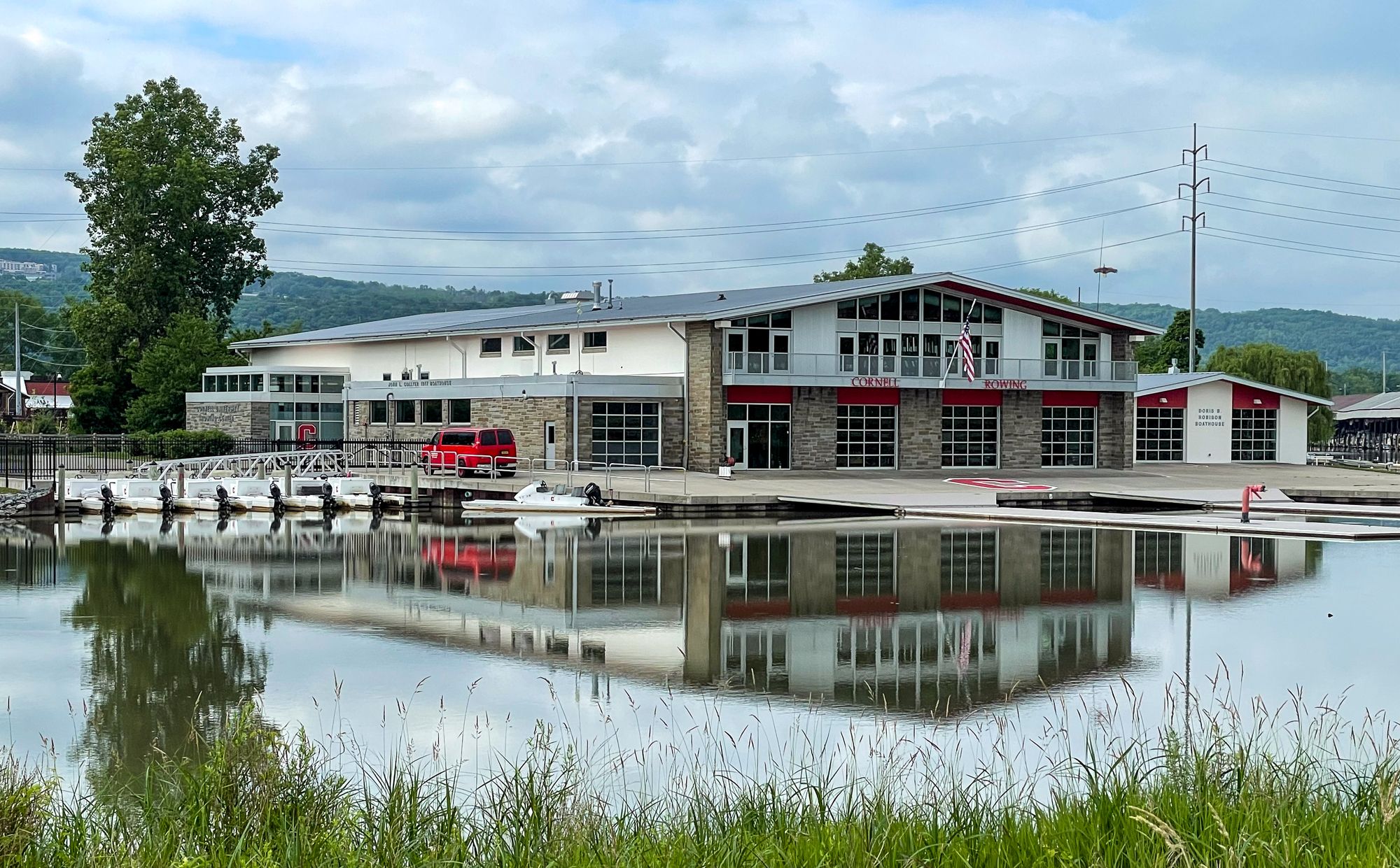
- Bottchers Landing Boat Ramp → Fitch Bridge Boat Ramp
The Chemung River is a scenic waterway in New York's Southern Tier region, flowing approximately 46 miles southeast from its origin at the confluence of the Tioga and Cohocton rivers in Corning. It passes through Steuben and Chemung counties before crossing into Pennsylvania, where it joins the Susquehanna River. The Chemung forms part of the larger Susquehanna River watershed, ultimately draining into the Chesapeake Bay.
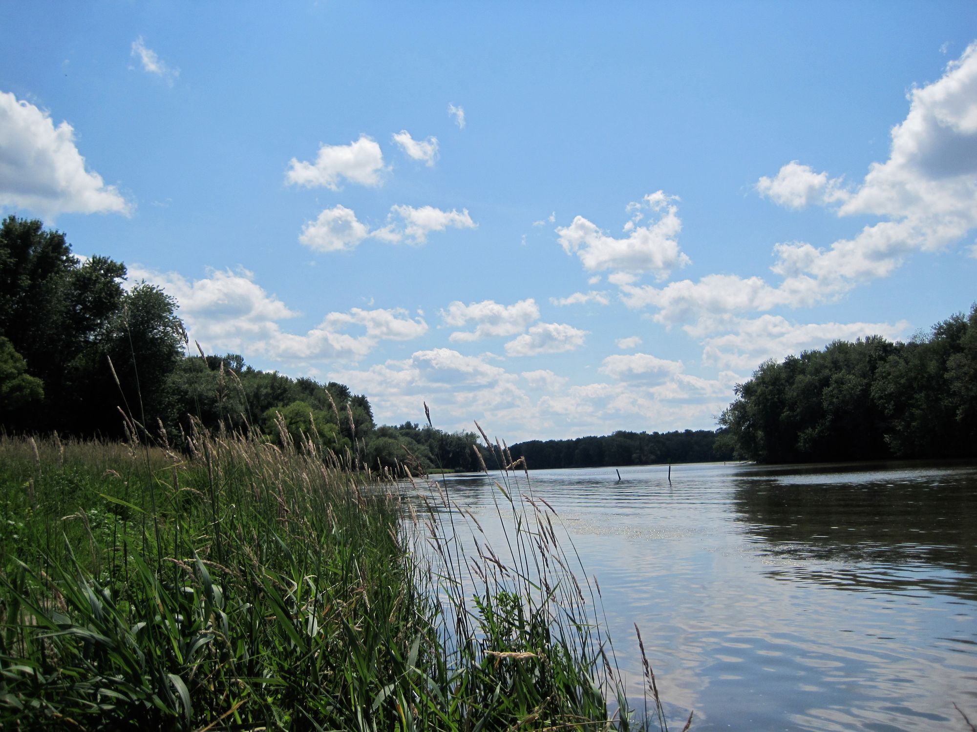
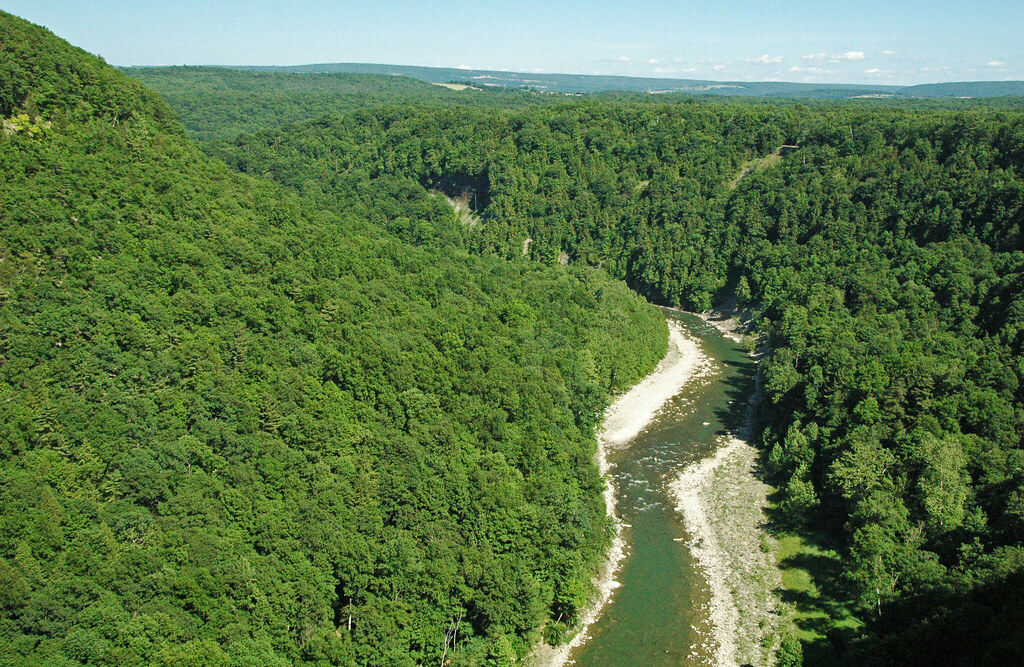
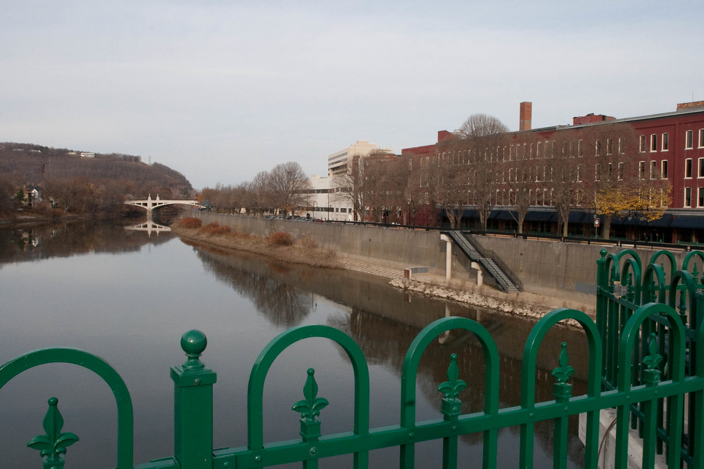
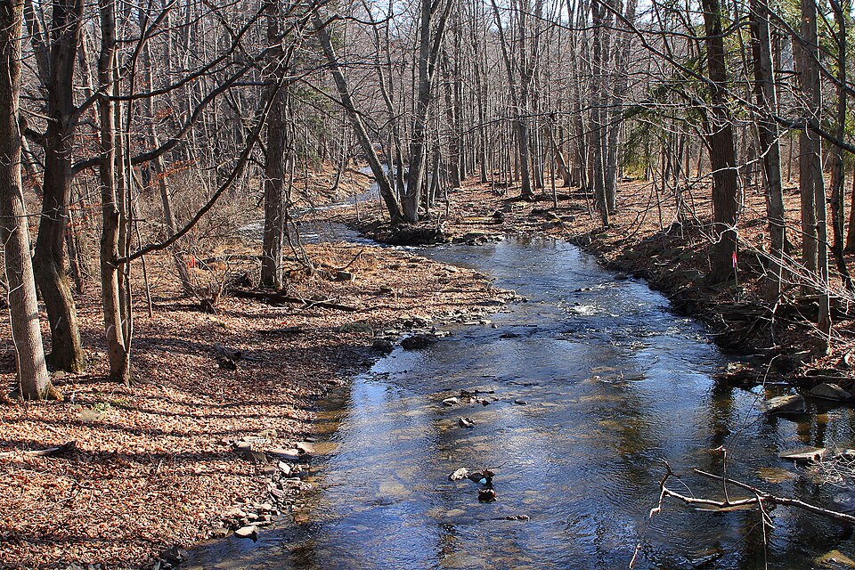
Paddling opportunities abound on the Chemung, with sections suitable for all skill levels. The most popular stretch for beginners is the 6-mile flatwater segment from Bottcher's Landing in Big Flats to Fitch's Bridge near Elmira. More experienced paddlers can tackle the full 46-mile journey from Corning to the Pennsylvania border, encountering mostly flatwater with occasional Class I-II rapids. The river offers a mix of urban and rural scenery, passing through the cities of Corning and Elmira as well as stretches of forested shoreline and agricultural land.
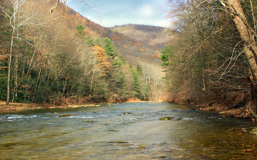
The Chemung is best paddled from spring through fall, with summer offering warm waters ideal for swimming and fishing. Spring can bring higher water levels, while fall rewards paddlers with colorful foliage. The river supports a diverse ecosystem, home to various fish species like smallmouth bass and walleye, as well as birds such as herons and bald eagles.
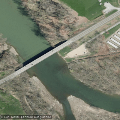
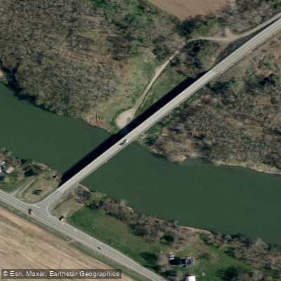
Key landmarks include the Palisades - scenic cliffs along certain river sections, and the Chase-Hibbard Dam in Elmira, which requires a portage. Historical sites dot the riverbanks, including locations tied to the Revolutionary War's Sullivan Expedition. Popular access points include Bottcher's Landing in Big Flats, Fitch's Bridge in Elmira, and boat launches in Corning and Wellsburg. These are typically well-maintained and offer parking for vehicles and trailers.
Safety considerations include checking water levels before paddling, especially after heavy rains, and being aware of submerged obstacles. All paddlers should wear life jackets and follow local regulations. For those seeking a multi-day adventure, the Chemung River forms part of the developing New York Susquehanna Basin Water Trail, a 190-mile route from Corning to Cooperstown. This initiative aims to promote eco-tourism and outdoor recreation across eight counties in south-central New York.
The Chemung River offers a rich paddling experience, combining natural beauty, historical significance, and recreational opportunities for water enthusiasts of all levels.
Curated routes
Hand-picked by the PaddleWays team, with put-ins, take-outs, paddle times and the hazards along the way.
RouteFlatwater
RouteClass II–III
RouteFlatwater
Hazards
No paddler has reported a hazard here yet, so these are the dams, falls and big rapids on our map. Hazards change with flows and storms, so check them before you launch.
From the community
Real trips from PaddleWays paddlers: which route they ran, how the flows were, and what to watch for.
Loading trip reports
Jessica M.
352 cfs at Elmira
Chemung River Boat Ramp to End of Route
Jessica M.
SUP •
Corning to Pennsylvania State Line Start to End of Route
See exactly where the public can get on and off the river. Launch points and boat ramps are paired with PaddleWays' public land data so you know where you can legally land.
Public shoreline
4%of the river's shoreline is public
Most of the riverbank is private. Launch, land and camp only at public access points.
Flows, weather and a route-by-route verdict, so you know which stretch of the Chemung River is worth paddling today.
All Flow Stations
Live flows, marked hazards and fresh trip reports from paddlers who were just on the water, all in one place.





Every user gets free access to launch points, boat ramps, and public property parcels.

Loading popular cities...
PaddleWays gives you everything you need to plan smarter, paddle better, and own every trip from first launch to takeout.