Curated by PaddleWays
RouteFlatwater
- Distance
- 3.8 mi
- Paddle time
- ~1.5 hrs
- Best for
- Kayak, canoe
- Put-in → take-out
- Grangerville Access → Victory Mills Access
Dam at the upstream end
Fish Creek originates from Saratoga Lake in Saratoga County, flowing eastward approximately 7.5 miles before joining the Hudson River at Schuylerville. This outlet stream serves as a vital waterway connecting the lake to the larger Hudson River system, passing through a landscape shaped by both natural processes and Revolutionary War history. The creek offers diverse paddling experiences ranging from flatwater near Saratoga Lake to more technical swift water sections closer to Schuylerville.
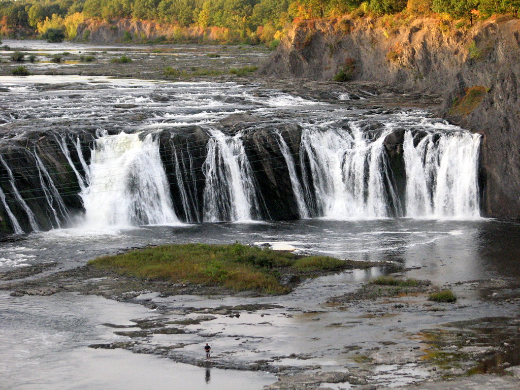
The upper reaches near the lake feature slow currents meandering through extensive wetlands bordered by lily pads and marsh vegetation, ideal for beginners and wildlife observation. As paddlers progress downstream, the gradient increases, particularly in the final mile before the Hudson confluence where a scenic waterfall marks the end of navigable water. Swift water enthusiasts find playable current below these falls.
Multiple access points serve paddlers throughout the creek's length. Waterfront Park in Saratoga Springs provides free launching for human-powered craft, with parking and facilities available. The Kayak Shak at Stafford Bridge Road, approximately one mile downstream, offers rentals and a $10 launch fee for private boats. Additional access exists at Bryant's Bridge and near the mouth at Schuylerville, where Hudson Crossing Park provides launching adjacent to Champlain Canal Lock 5.
The creek corridor supports rich biodiversity. Wetland habitats host muskrats, beavers, great blue herons, American bitterns, belted kingfishers, and various waterfowl. The waterway contains northern pike, black bass, and panfish, with fishing regulations enforced by New York State DEC. Vegetation includes water lilies, pickerel weed, and extensive riparian forests.
Historical significance permeates the lower creek, particularly near Schuylerville where Revolutionary War battles occurred in 1777. The creek's mouth lies near the site where British General Burgoyne's forces surrendered, marking a turning point in American independence. The Schuyler House, operated by the National Park Service, stands along Route 4 near the creek.
Spring through fall provides optimal paddling conditions, with peak water levels in spring and early summer. Winter ice fishing occurs when conditions permit, though ice safety remains the paddler's responsibility. The creek's relatively short length makes it suitable for half-day trips, though connections to the Hudson River and Saratoga Lake enable extended exploration. Motor boat traffic concentrates near the lake, decreasing significantly downstream. Paddlers should exercise caution around fallen trees (strainers) in narrower sections and respect swift water areas near the falls. The creek's accessibility and varied character make it valuable for both novice paddlers seeking calm water and experienced boaters wanting brief technical challenges.
Curated routes
Hand-picked by the PaddleWays team, with put-ins, take-outs, paddle times and the hazards along the way.
RouteFlatwater
Hazards
No paddler has reported a hazard here yet, so these are the dams, falls and big rapids on our map. Hazards change with flows and storms, so check them before you launch.
From the community
Nobody has shared a trip on Fish Creek yet. Paddle it, then tell the next paddler how it went.
See exactly where the public can get on and off the river. Launch points and boat ramps are paired with PaddleWays' public land data so you know where you can legally land.
Public shoreline
4%of the river's shoreline is public
Most of the riverbank is private. Launch, land and camp only at public access points.
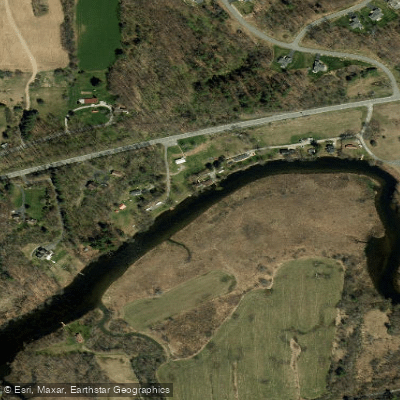
Access Point
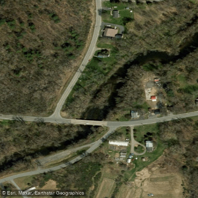
Access Point
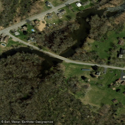
Access Point
Access Point
Flows, weather and a route-by-route verdict, so you know which stretch of the Fish Creek is worth paddling today.
No forecast data available.
Live flows, marked hazards and fresh trip reports from paddlers who were just on the water, all in one place.





Every user gets free access to launch points, boat ramps, and public property parcels.


Loading popular cities...
PaddleWays gives you everything you need to plan smarter, paddle better, and own every trip from first launch to takeout.





