Curated by PaddleWays
RouteClass I–II
- Distance
- 7.6 mi
- Paddle time
- ~2.5 hrs
- Best for
- Kayak
- Put-in → take-out
- Rush Access → Genesee River Access
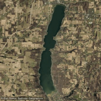
Honeoye Creek originates at the north end of Honeoye Lake in Richmond, Ontario County, flowing northward through a landscape shaped by glacial activity. The creek travels approximately 30 miles before joining the Genesee River near Avon in Livingston County, draining a watershed that encompasses portions of Ontario, Monroe, and Livingston counties. The name derives from the Seneca word "ha-ne-a-yah," meaning "lying finger," connected to a Native American legend about a warrior who severed his own finger after a rattlesnake bite.
The creek's character changes significantly along its course. After leaving Honeoye Lake, it flows through Ontario County where Hemlock Outlet Creek joins as a major tributary. The waterway then forms the boundary between Ontario and Livingston counties before entering Monroe County. At the village of Honeoye Falls in Mendon, the creek cascades over a 25-30 foot waterfall, creating a dramatic focal point flanked by historic 19th-century mill buildings. Downstream from the falls, the creek continues westward through West Rush before its confluence with the Genesee River.
Paddling opportunities exist primarily on the lower sections of Honeoye Creek, though conditions vary dramatically with seasonal water levels. A USGS gauge at Honeoye Falls has recorded flows ranging from complete dryness (0 cubic feet per second in August 2001) to flood stage (3,820 cfs in April 1993). Spring runoff and periods following heavy rainfall provide the most reliable paddling conditions.
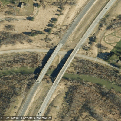
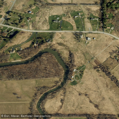
The creek offers hand-launch access at multiple locations, including a site on Fishell Road off Route 15 in Rush (Monroe County) with parking for approximately 12 vehicles. The waterway flows through a mix of rural agricultural land and residential areas, with the village of Honeoye Falls representing the most developed section. Historic grist and sawmills once harnessed the creek's power, with several structures still standing as reminders of the region's industrial heritage. The Mendon Town Hall in Honeoye Falls occupies a former stone grist mill from the 1820s-1830s, positioned directly above the falls.
Water quality monitoring occurs at Honeoye Falls through cooperation between the USGS, Monroe County Department of Health, and the US Army Corps of Engineers. Anglers target the creek for various warmwater species, though specific fishing regulations should be verified with the New York State Department of Environmental Conservation. The 35-horsepower motor restriction on launches from May through September reflects the creek's modest size and environmental sensitivity.
Curated routes
Hand-picked by the PaddleWays team, with put-ins, take-outs, paddle times and the hazards along the way.
RouteClass I–II
Hazards
No paddler has reported a hazard here yet, so these are the dams, falls and big rapids on our map. Hazards change with flows and storms, so check them before you launch.
From the community
Nobody has shared a trip on Honeoye Creek yet. Paddle it, then tell the next paddler how it went.
See exactly where the public can get on and off the river. Launch points and boat ramps are paired with PaddleWays' public land data so you know where you can legally land.
Public shoreline
7%of the river's shoreline is public
Most of the riverbank is private. Launch, land and camp only at public access points.
Flows, weather and a route-by-route verdict, so you know which stretch of the Honeoye Creek is worth paddling today.
Live flows, marked hazards and fresh trip reports from paddlers who were just on the water, all in one place.





Every user gets free access to launch points, boat ramps, and public property parcels.

Loading popular cities...
PaddleWays gives you everything you need to plan smarter, paddle better, and own every trip from first launch to takeout.